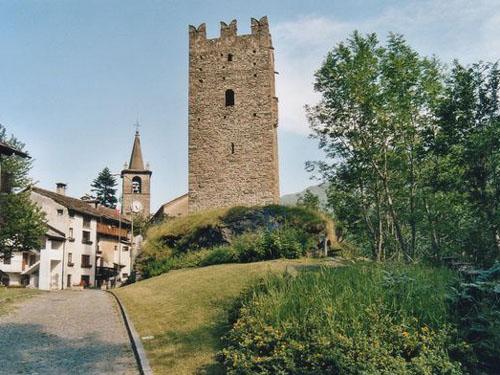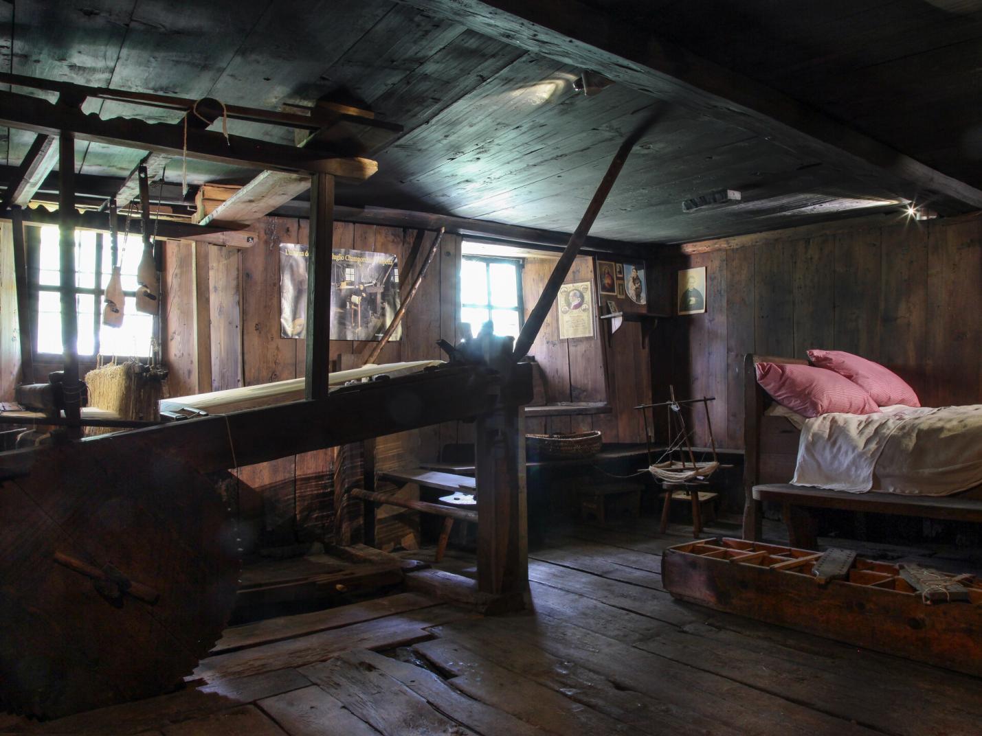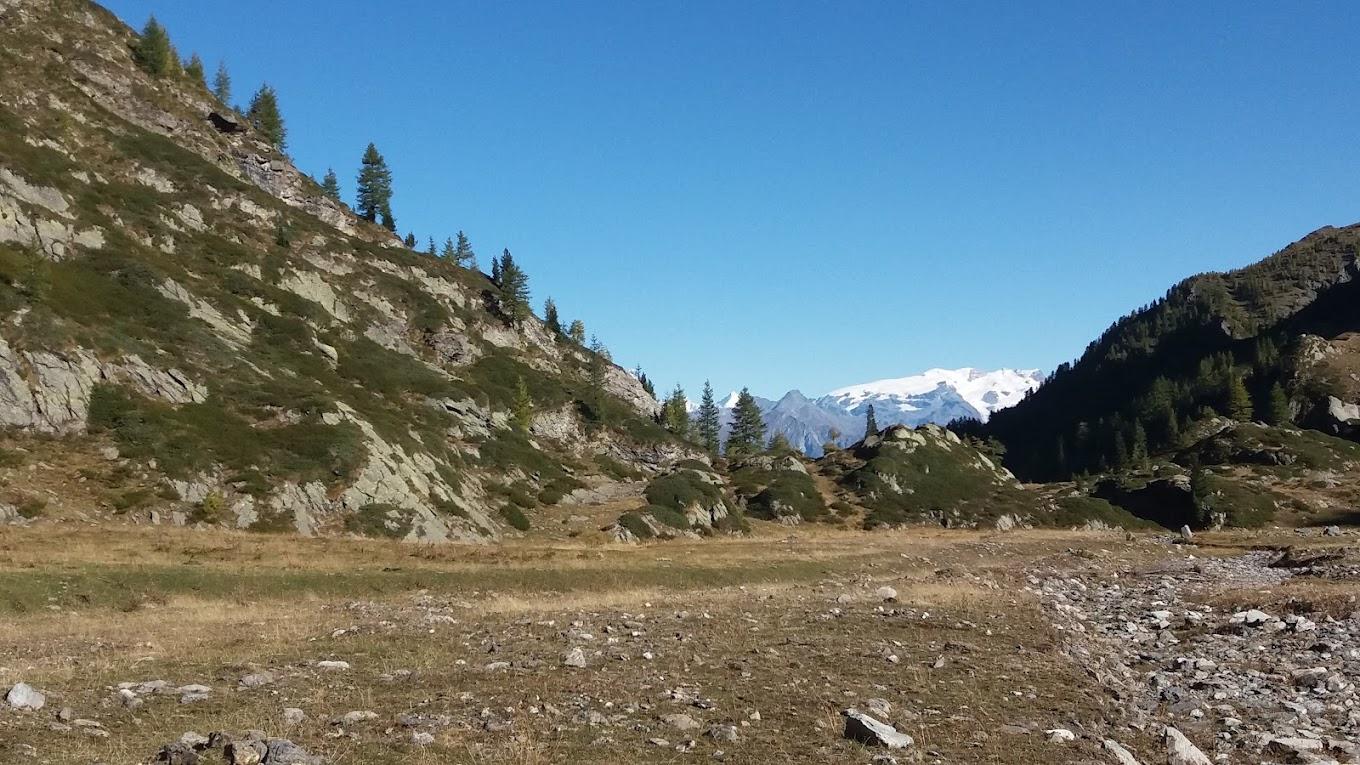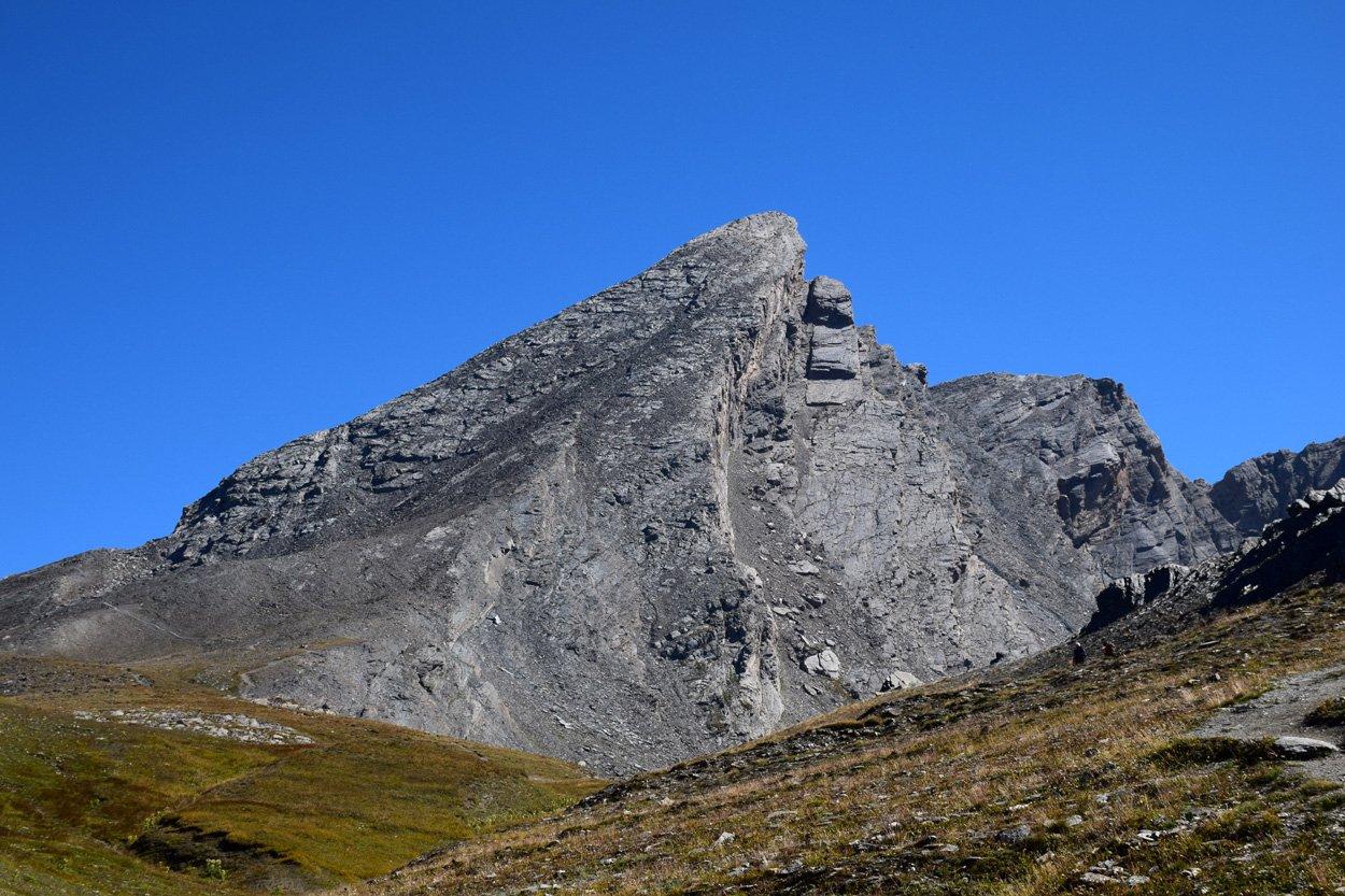
This circular hike explores the lower region of Champorcher (lower Vallone della Legna and lower main valley) and the upper part of the municipality of Pontboset. This moderately challenging trail offers a deep dive into the rural culture of the valley. During your hike, you will pass through centuries-old hamlets and follow mule tracks and paths used for centuries to move cattle to alpine pastures. You will visit three still-inhabited hamlets full of history: Salleret, Frassiney (with its beautiful stone bridge), and Outre l’Ève. You will also admire the abandoned village of Borney, once regularly inhabited. This village consists of about ten houses with an adjoining church, located in a small area that has been cleared over the centuries for pasture and building land. Finally, you will pass through the Trome area, a typical low-altitude alpine pasture. This itinerary allows for a deep immersion in the historic rural culture of the Aosta Valley. You will take a step back in time, experiencing a bit of the life of those who lived in these places, facing the difficulties and sweat of mountain life. Here, the struggle for arable land was tough, and daily reality involved long walks to the valley floor and school.
First Section: Salleret – Frassiney – Borney (trails no. 3, 2, and 3C)
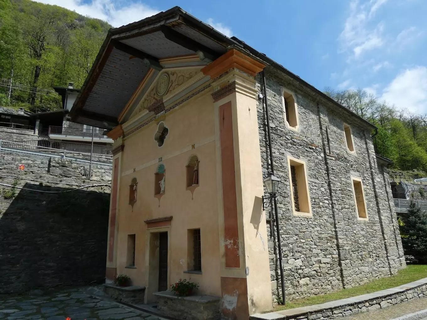
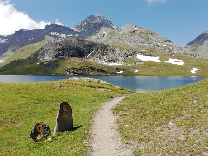
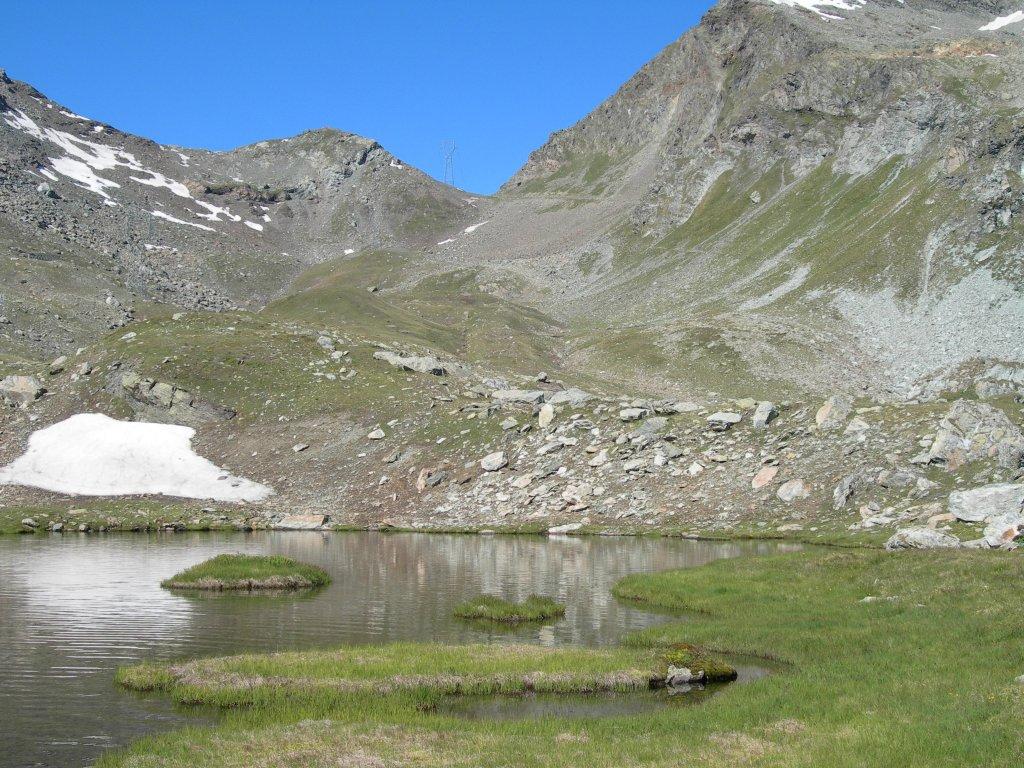
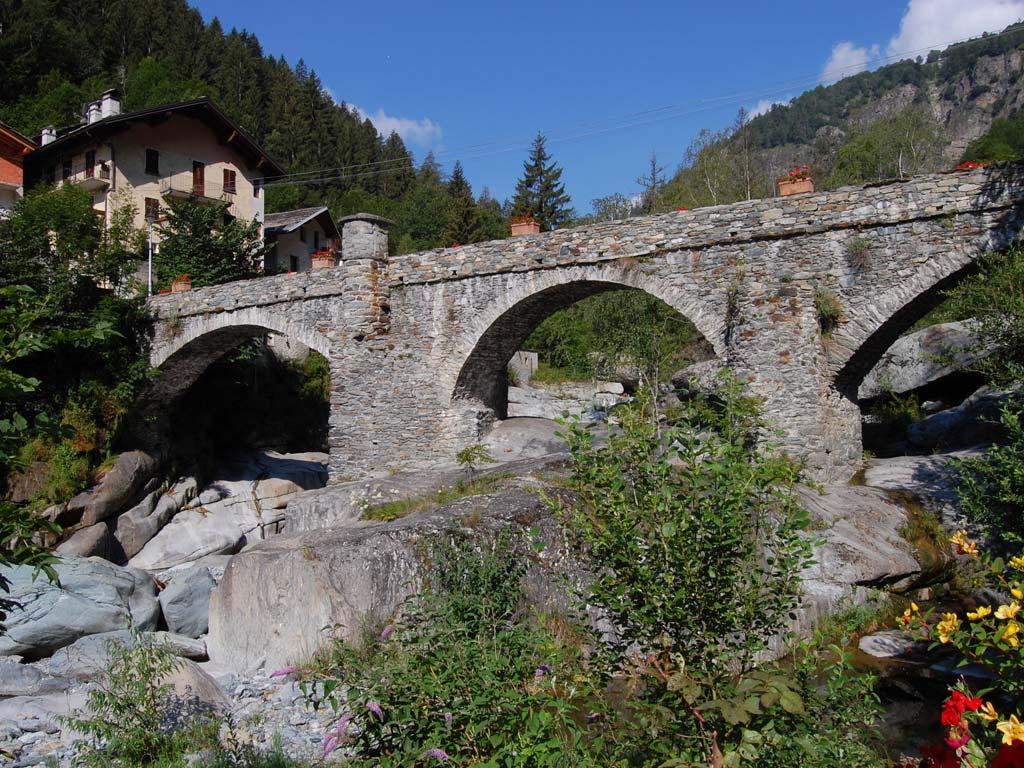
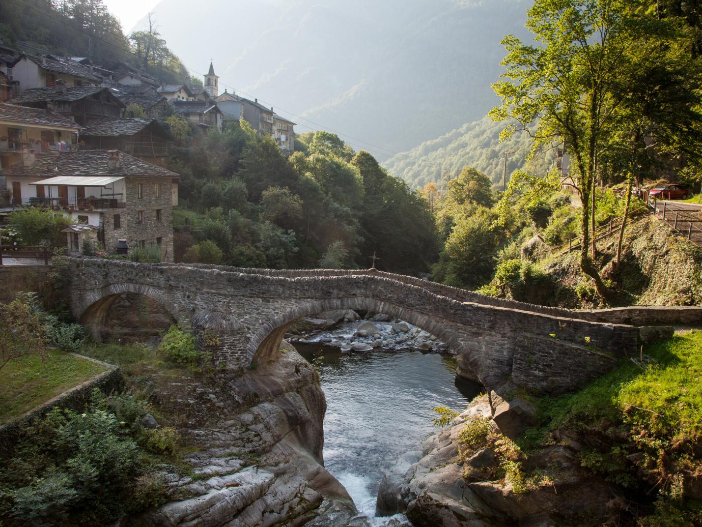
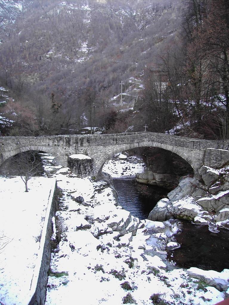
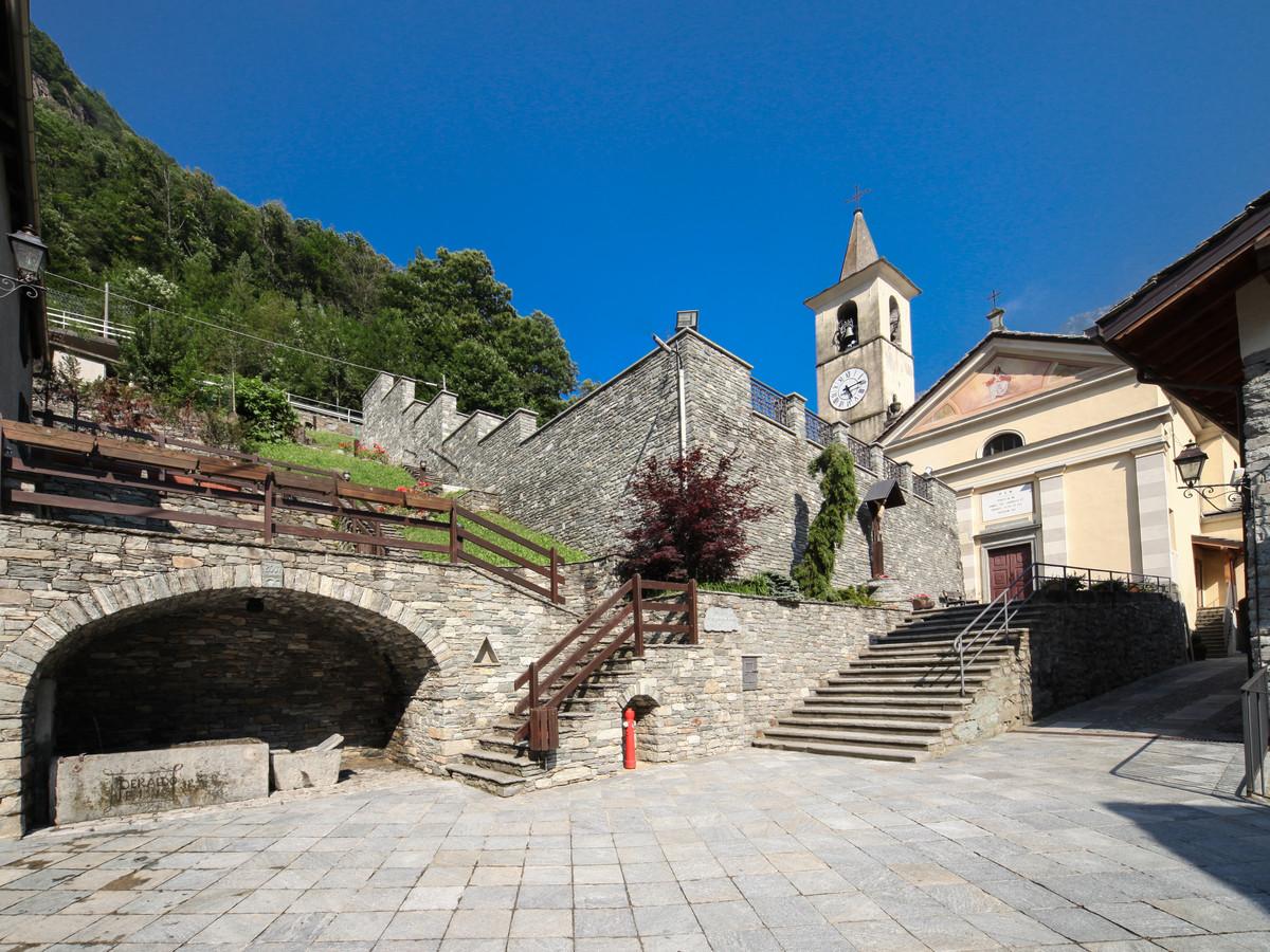
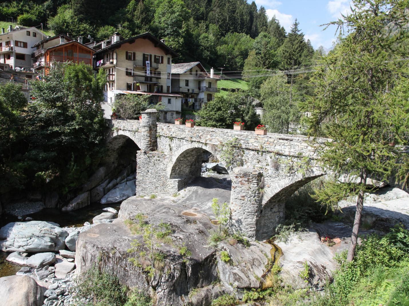
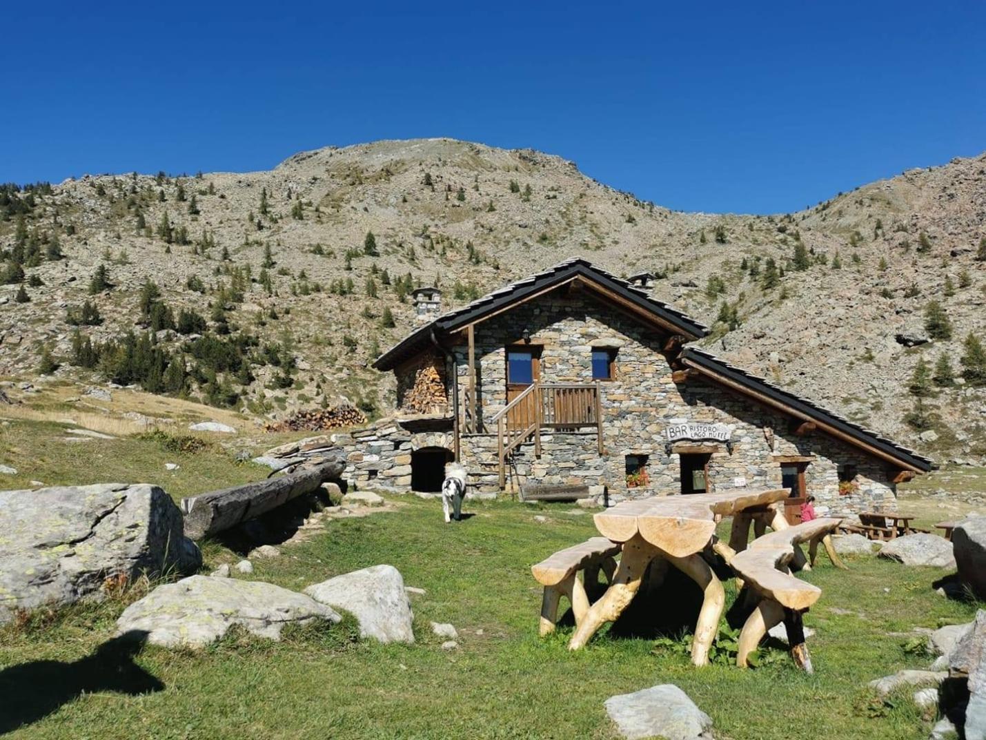
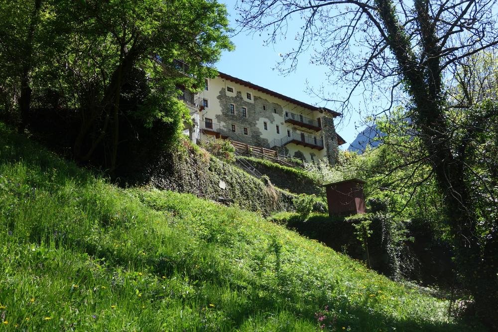
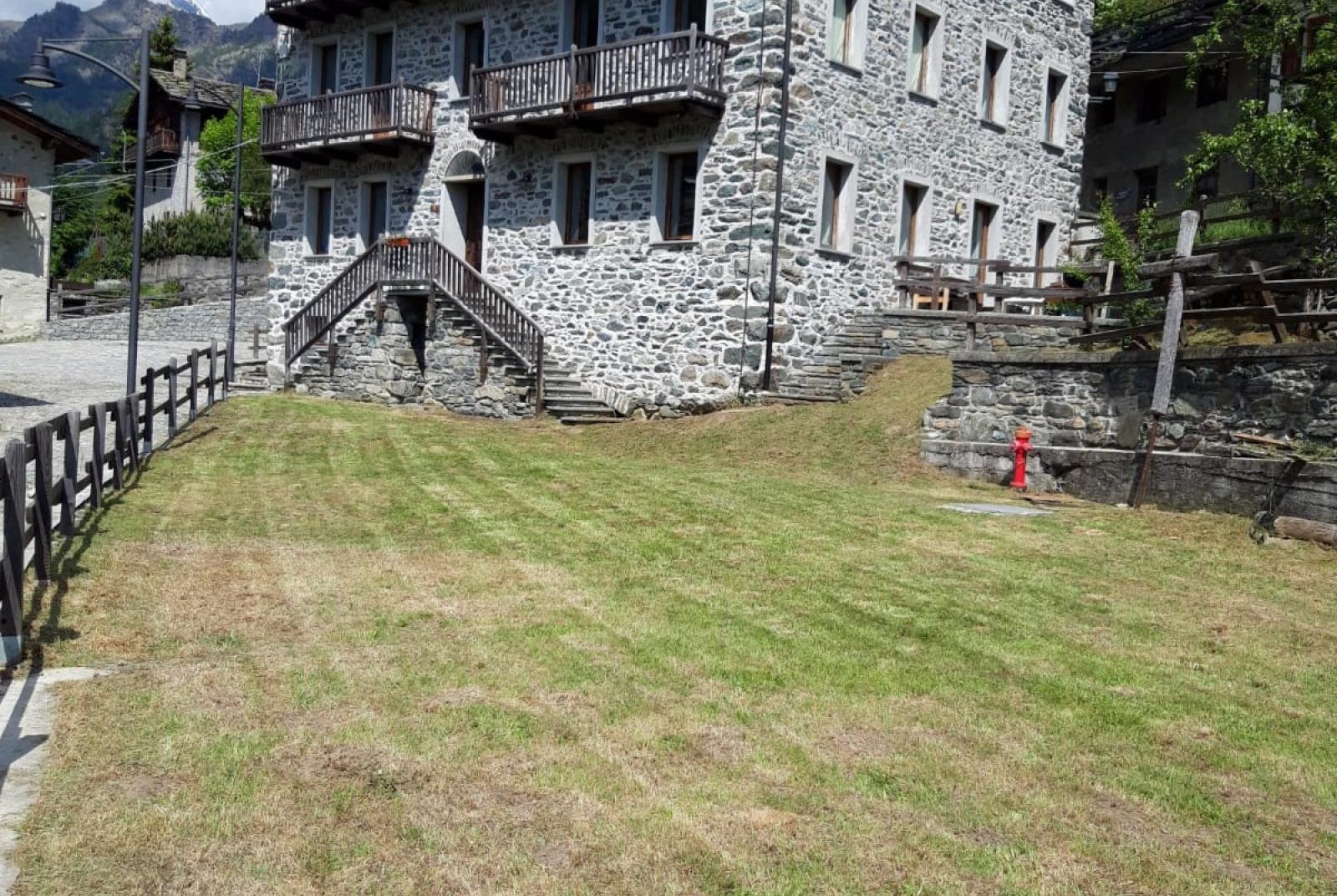
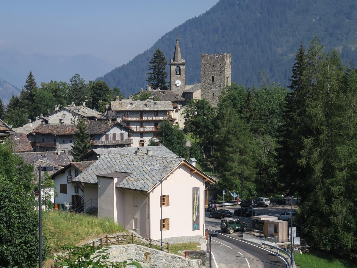
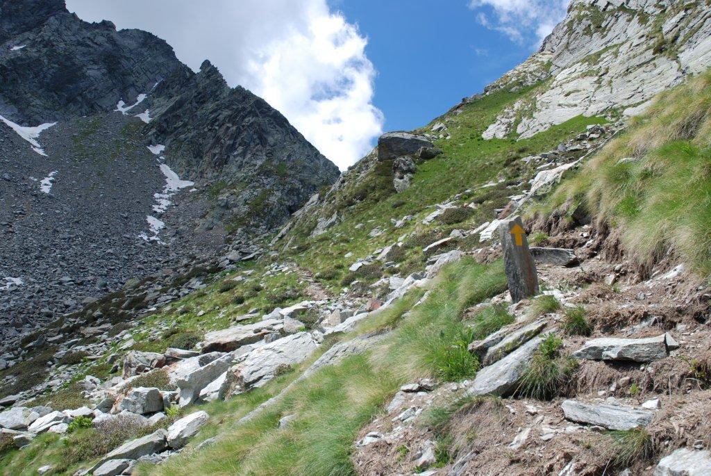
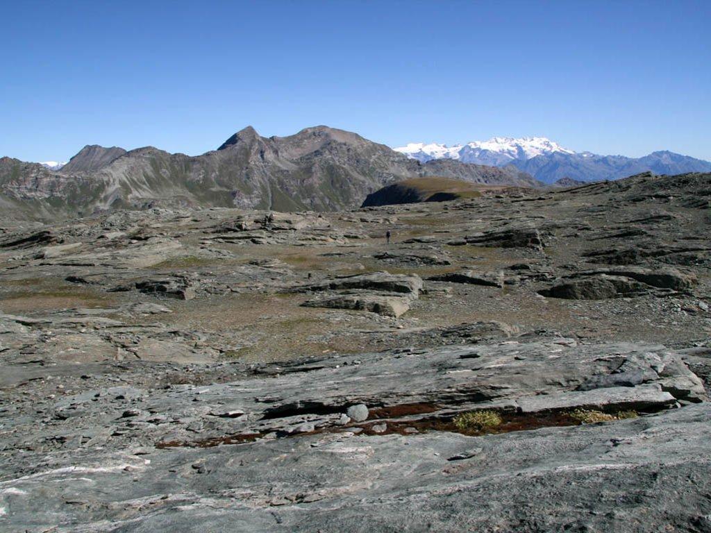
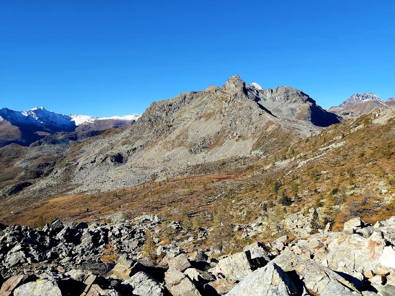
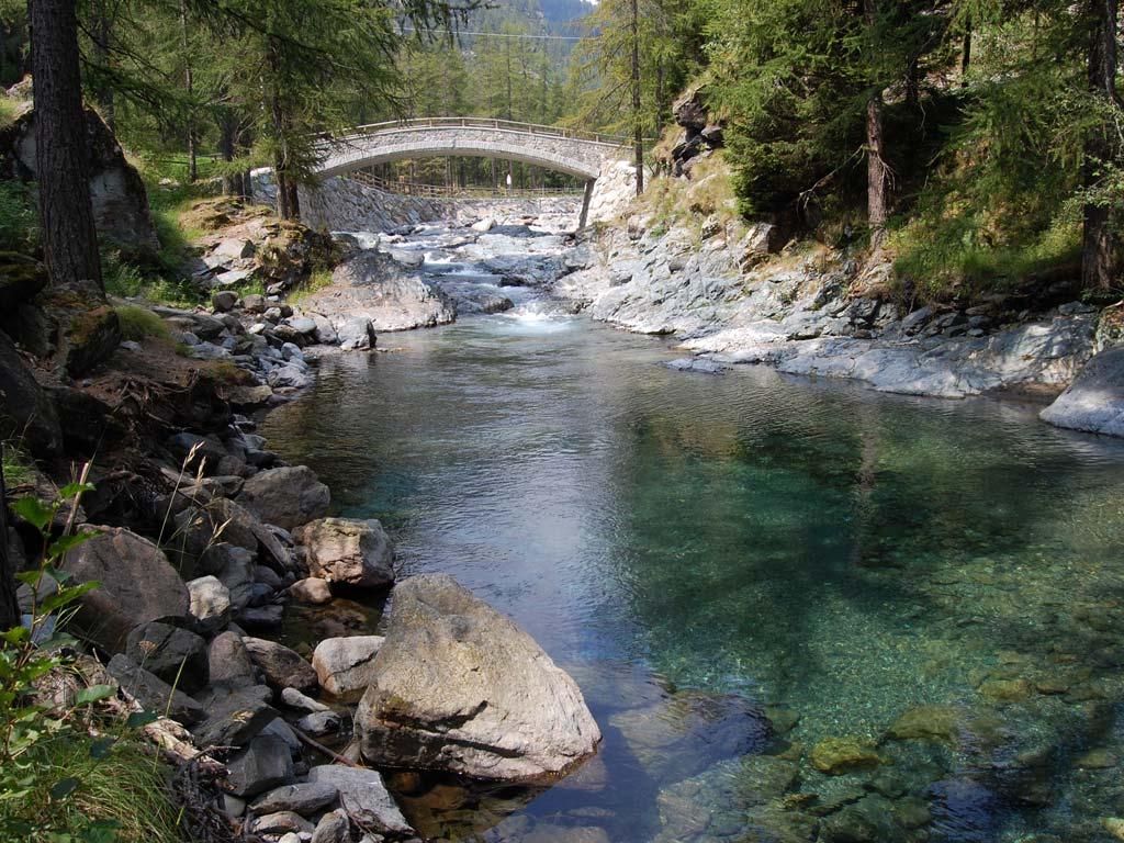
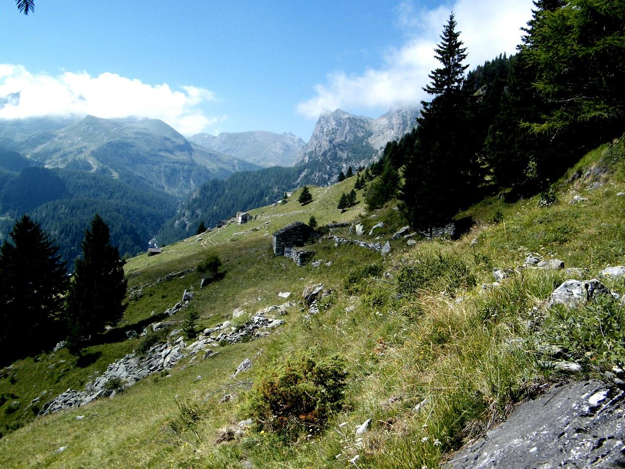
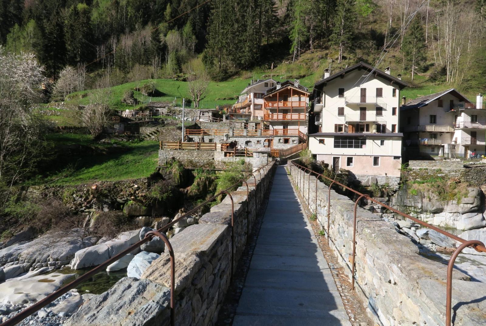
Start from the hamlet of Salleret and find the trail that descends to the old village of Dogier, and then through woods and meadows until you reach the hamlet of La Place in the municipality of Pontboset, characterized by a charming little church. Continue past the church of La Place and proceed for about a hundred meters along the paved road until you reach the hamlet of Frassiney. Cross the majestic stone bridge over the Ayasse stream. Imagine the difficulty of constructing this bridge in an era with construction means far from what we have today. After crossing the bridge, turn left between the houses and soon find yourself surrounded by gardens, pastures, and then a dense forest of hazelnut and spruce trees. Continue along the trail/mule track, which becomes steeper and more winding until you reach the first pastures where you can see the buildings of Borney. Once in Borney, imagine what it was like when this place was regularly inhabited and gradually climb to reach the small church overlooking the old village. Behind the church, you will find the contour trail that will lead you to the Trome pasture. This trail first crosses the high pastures of Borney and then returns to the forest, with several ups and downs. The Trome pasture will be very visible as it is situated in a large, treeless meadow with a flat layout. Here, the trail may not be obvious due to the constant passage of cattle, but head towards a group of ruins that constitute the pasture (avoid the first isolated ruin to your right on the edge of the forest).
Second Section: Borney – Trome – Outre l’Ève – Salleret (trails no. 3C, 4, 3)
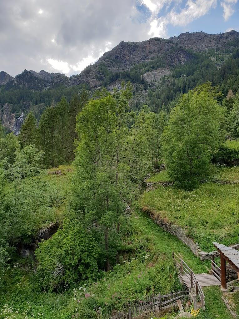
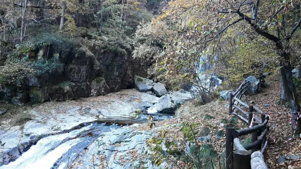
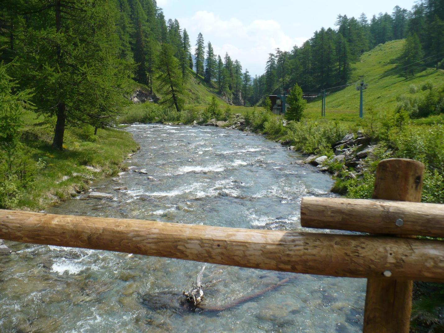
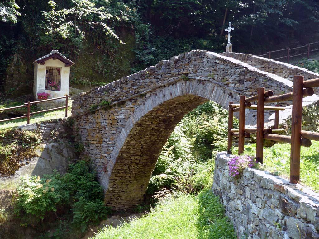
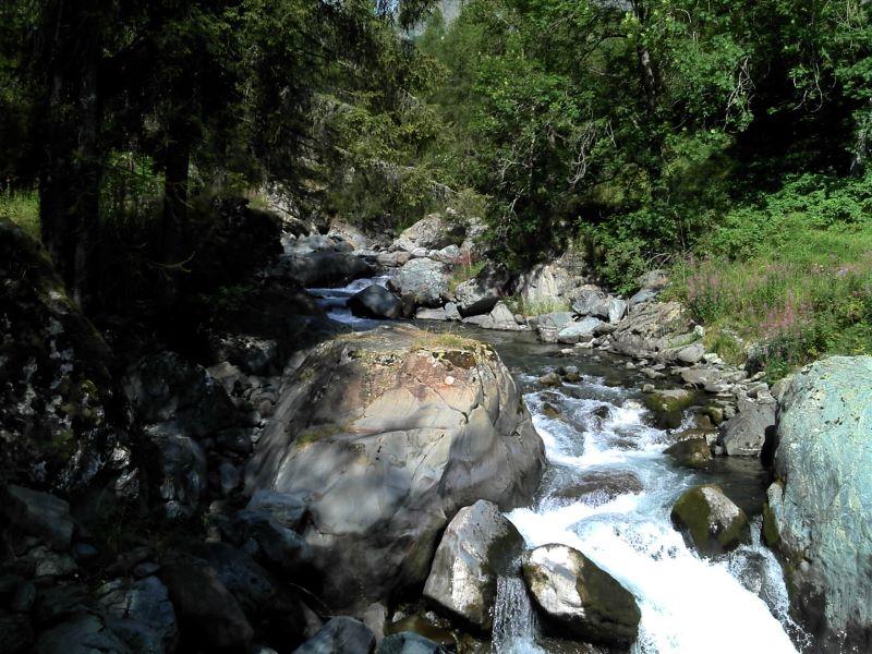
From the Trome ruins, follow the trail that with a brief ascent and descent enters the forest and meets the trail from Outre l’Ève leading to Col Bozet (the junction is at about 1480 m a.s.l.). Descend on the steep trail to a wooden bridge crossing the du Bois stream. After a short ascent of about twenty meters, you will find the mule track descending to Outre l’Ève. Avoid the deviation towards Champorcher-Castello, near an abandoned village with a monumental tree, and continue down to the village of Outre l’Ève. In this section, enjoy the beauty of this unique and enchanting place, admiring the old abandoned houses and chalets, the du Bois stream, and the mule track descending gently through the forest, small cultivated clearings, and large boulders used today for rock climbing. At the end of the gravel road (on the paved road with tourist information boards), turn right onto the paved road towards the hamlet of Outre l’Ève. Note the beautiful little church and some wooden chalets. Continue to the end of the paved road (flat without climbing) and find the mule track which, with several ups and downs, will lead you back to Salleret. Shortly after Outre l’Ève, avoid the left fork that descends and continue on trail no. 3, which crosses a stream and leads to the pastures of Menesse and then Bormes. Enjoy this last section of the trail sheltered by the high forest. Cross the Ayasse stream via the wooden bridge (at about 1080 m a.s.l.) and climb back to the hamlet of Salleret.
Technical notes: Circular route of medium difficulty.
Variants:
- Borney (with ascent and descent from Frassiney, Pontboset)
- Trail marker: 2
- Elevation gain: 620 m
- Distance: 2.4 km (one way)
- Ascent time: 1h30-2h
- Return time: 1h-1h15
- Difficulty: E