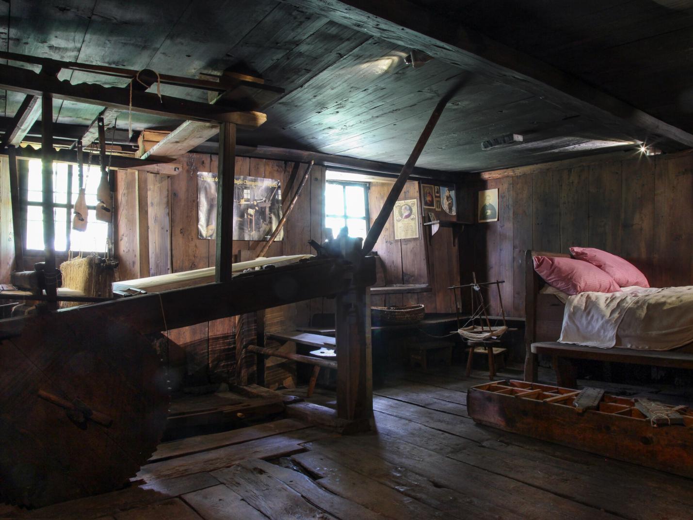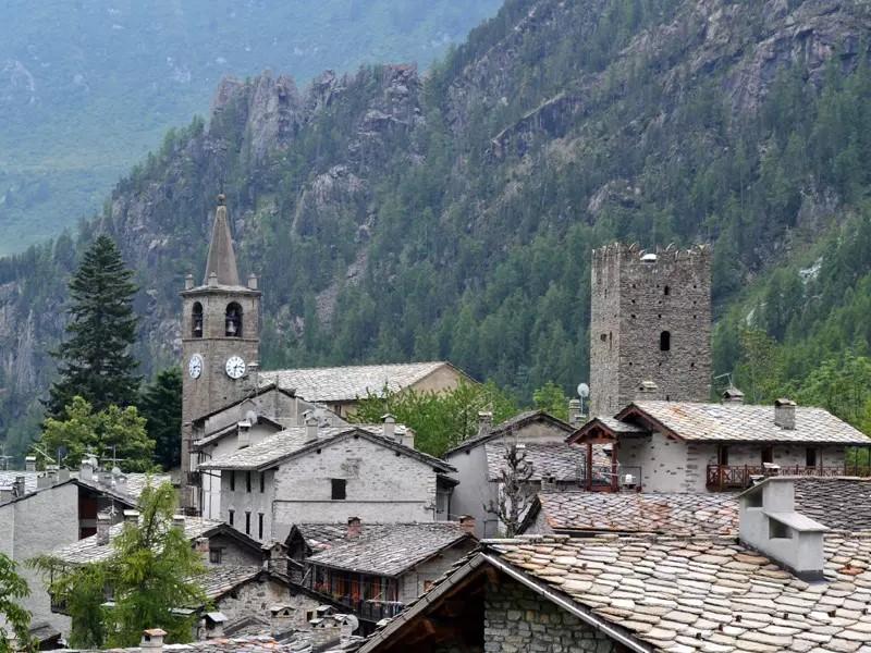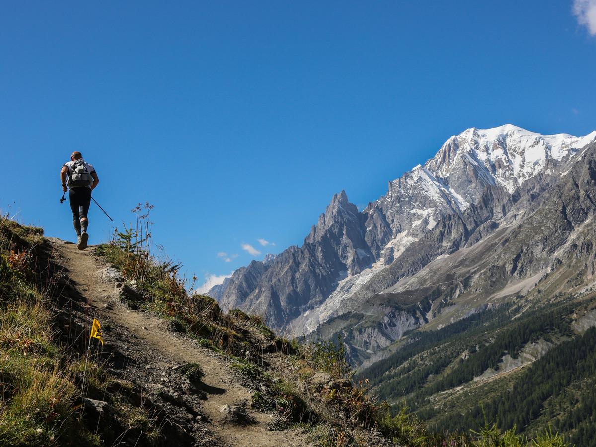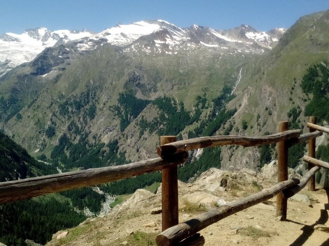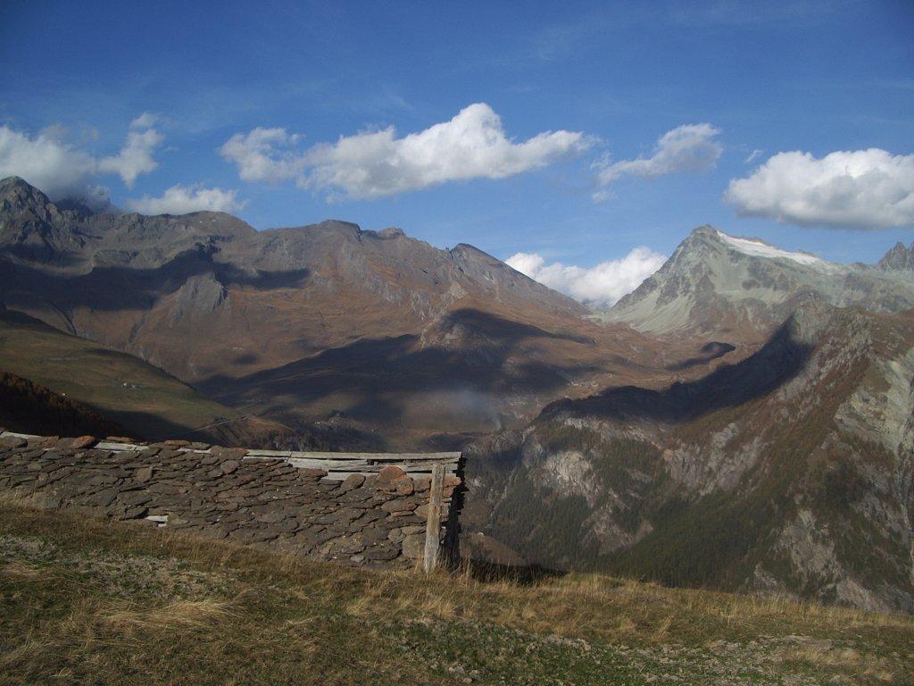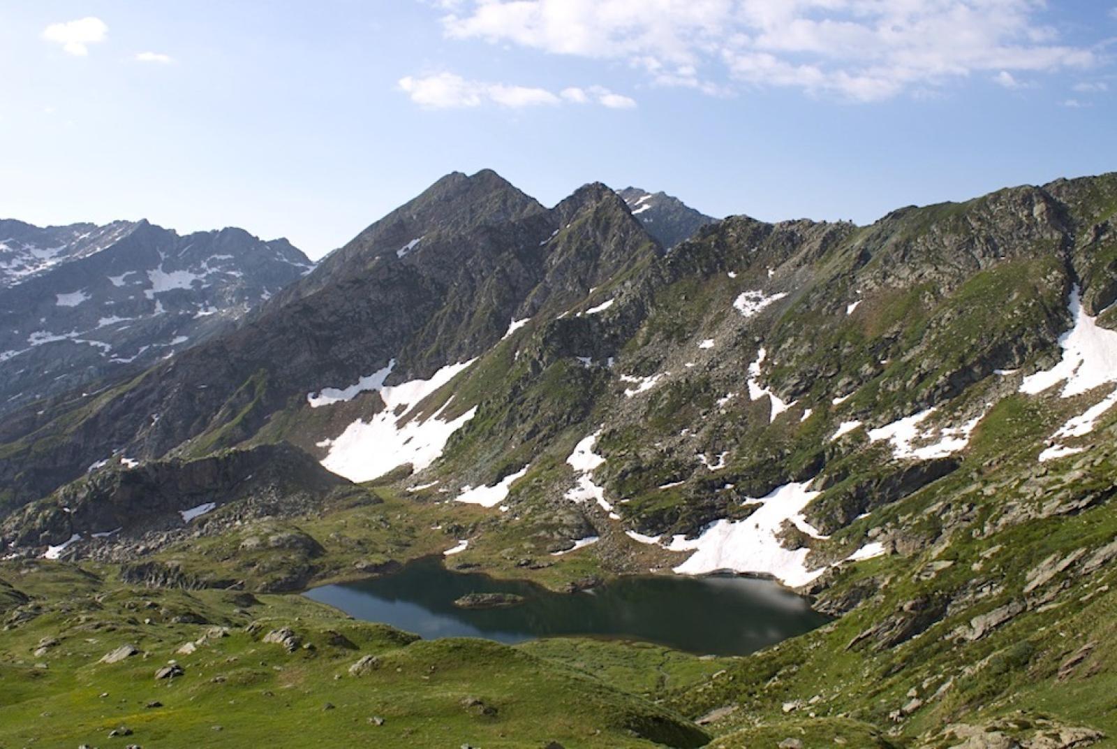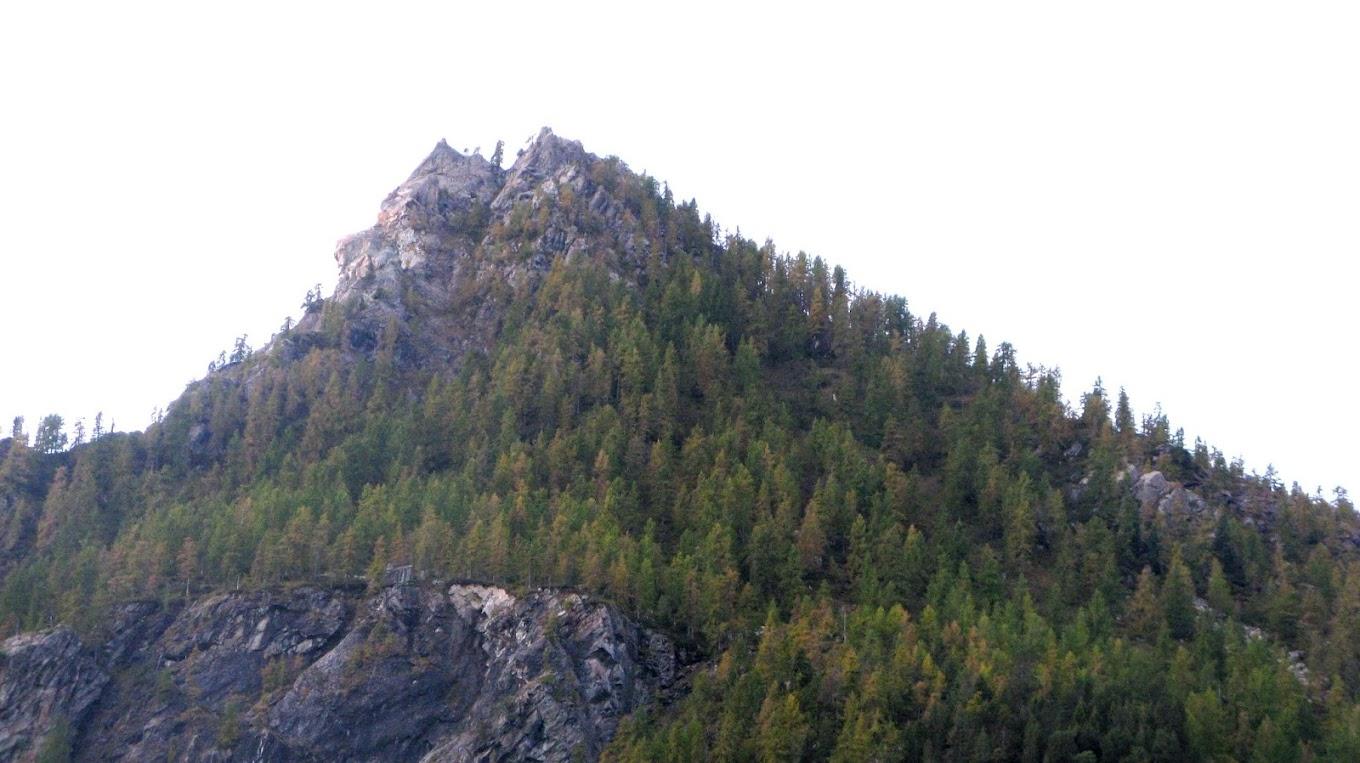
This circular hike allows you to immerse yourself in a charming natural environment far from mass tourism. The route traverses the Valley of Champorcher and the upper Vallone di Issogne, passing through forests, clearings, alpine pastures, and stony areas. At the summit of Cima Piana (2512 meters above sea level), you will enjoy a stunning panorama of the lower Aosta Valley, the Vallone di Champdepraz, and the Matterhorn and Monte Rosa massifs. During the descent, you will cross the Mont Avic Natural Park, passing through enchanting wetlands and near Lake Muffé. This hike offers a chance to experience the natural beauty of the area, away from more typical hiking routes, exploring wild and wonderful places.
First section: Remoran – Cima Piana (trail no. 11/11A-3A-10D/102)
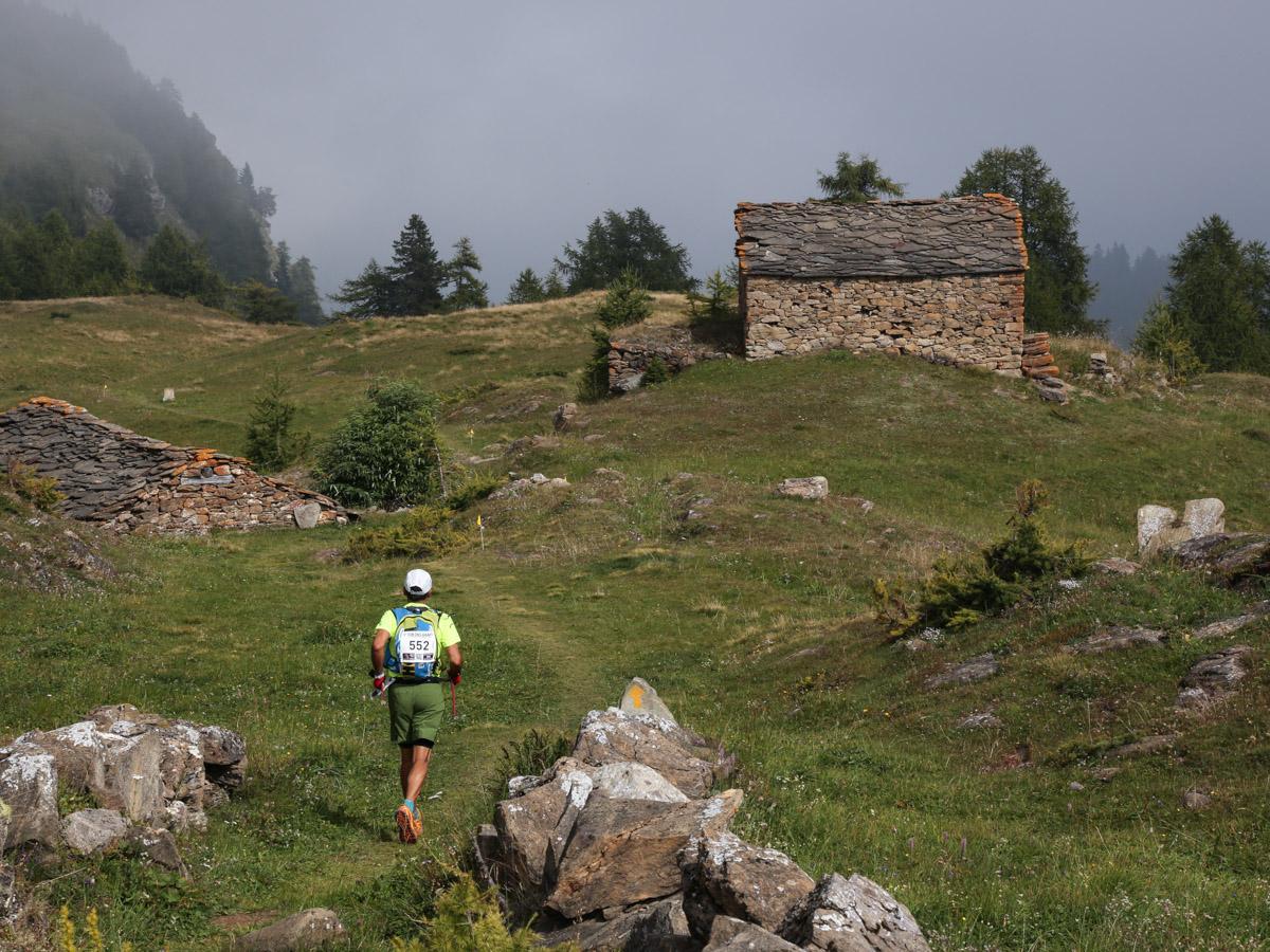
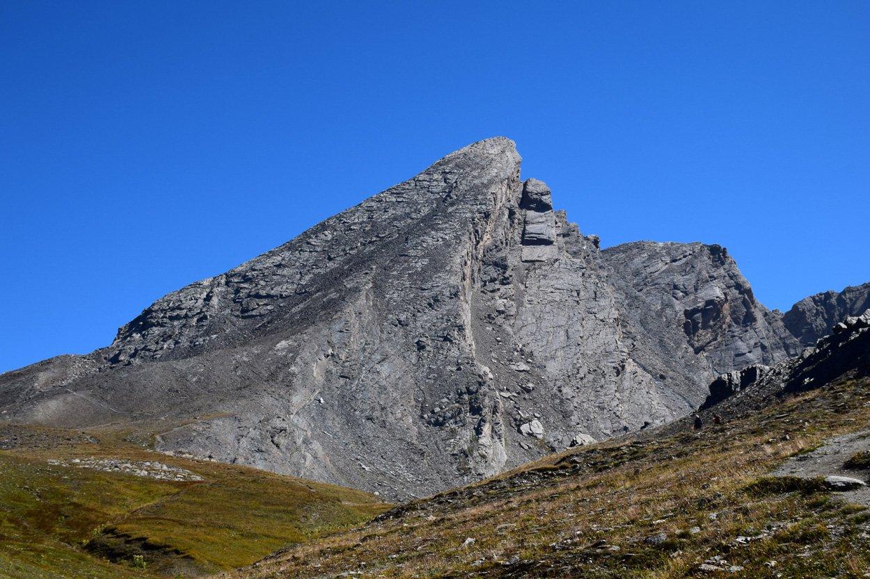
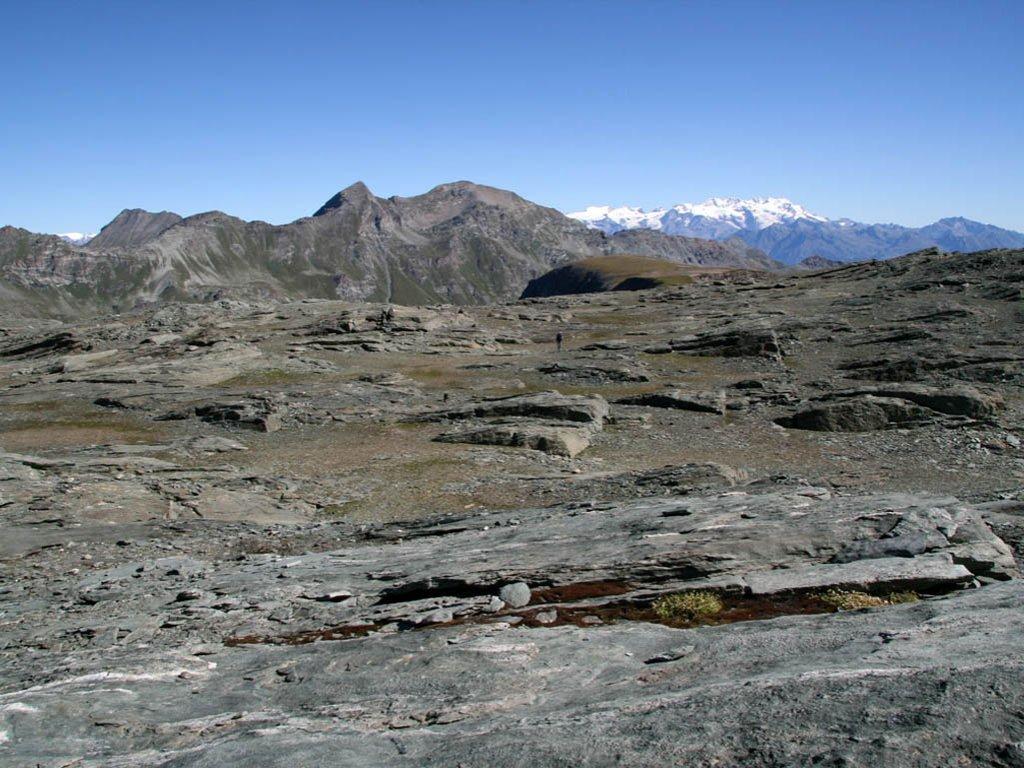
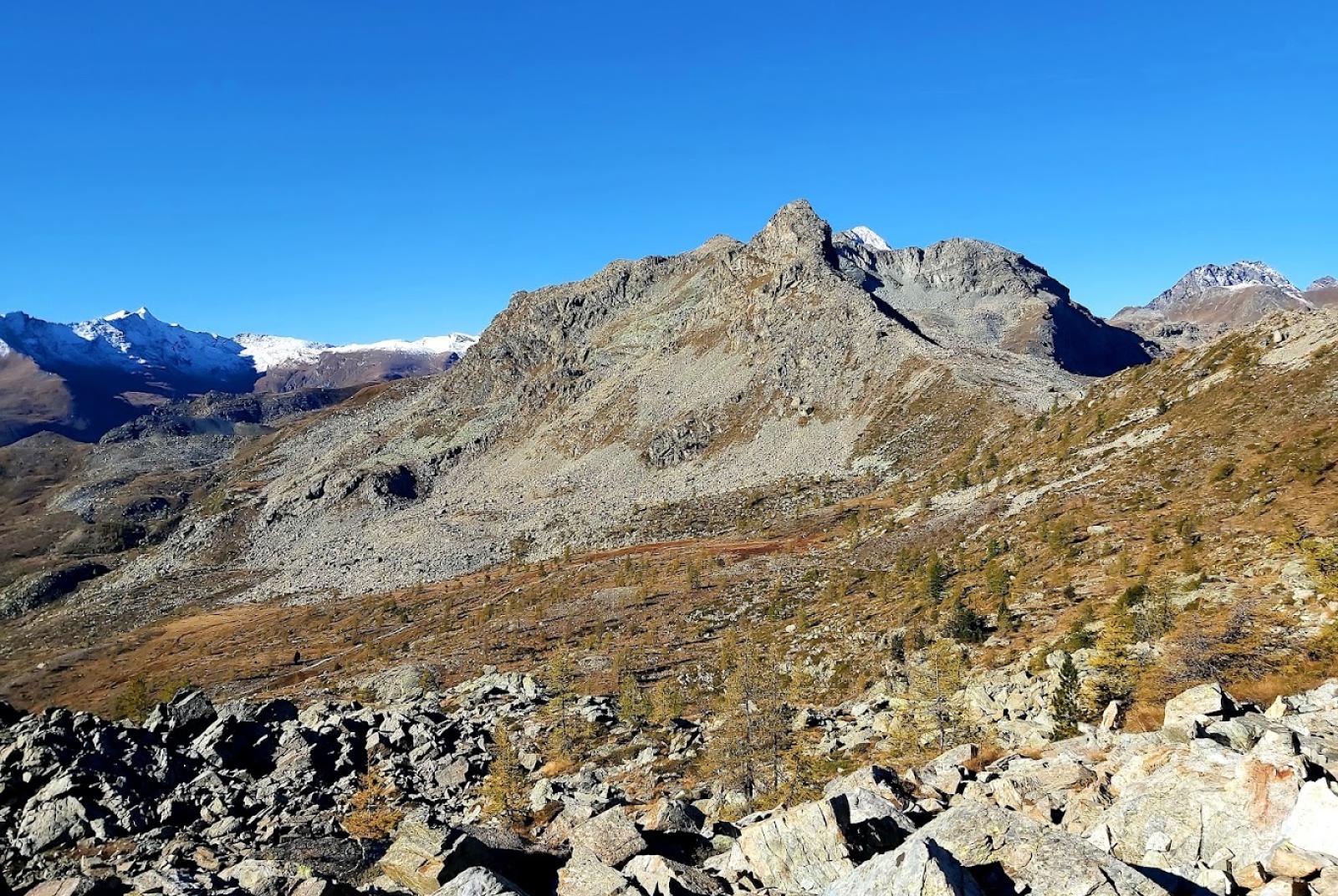
After leaving your car in the large parking area, find the trail that climbs towards the pastures of La Cort. Avoid the trail on the left that leads to the alpine pastures and instead take the right fork (trail no. 11/11A). Continue alongside the large alpine pastures, then enter the forest, which is interrupted by large stony areas. Be careful to find the left fork (at around 1840 meters above sea level) leading to Colle Terre Rosse (abandon the main trail that continues straight). Climb through the steep forest to reach Colle Terre Rosse (2022 meters above sea level), immersed in a beautiful forest until the ridge. From the pass, the trail descends into the Vallone di Issogne, cutting left until you reach a noticeable clearing. Cross the entire clearing and, at the end, find the fork for trail no. 3A (at about 1965 meters above sea level) that will lead you towards Cima Piana. After a section along the edge of the forest, the trail climbs left into the forest. The trail continues up a rather steep scree slope, passing between two "peaks," and emerges in a more level area with pastures, interspersed with rocks, sparse trees, and ruins. Here, the trail turns slightly right and becomes harder to find, so be attentive to the yellow marks and stone cairns present. In this large "clearing," looking towards the summit of Cima Piana, find the fork (at about 2295 meters above sea level) that leads to the trail for Colle Piana. Reach Colle Piana (2378 meters above sea level) by following the trail marked by stone cairns and yellow marks. Continue on the trail that traverses the slope and find the trail leading up to Cima Piana. The section ascending to Cima Piana is subject to erosion as it is loose, so the trail is not always clear, and it is advised to follow the stone cairns carefully. Once at the summit of Cima Piana (2512 meters above sea level), enjoy the splendid view and take a well-deserved break.
Second section: Cima Piana – Remoran (trail no. 10D/102-10C-10)
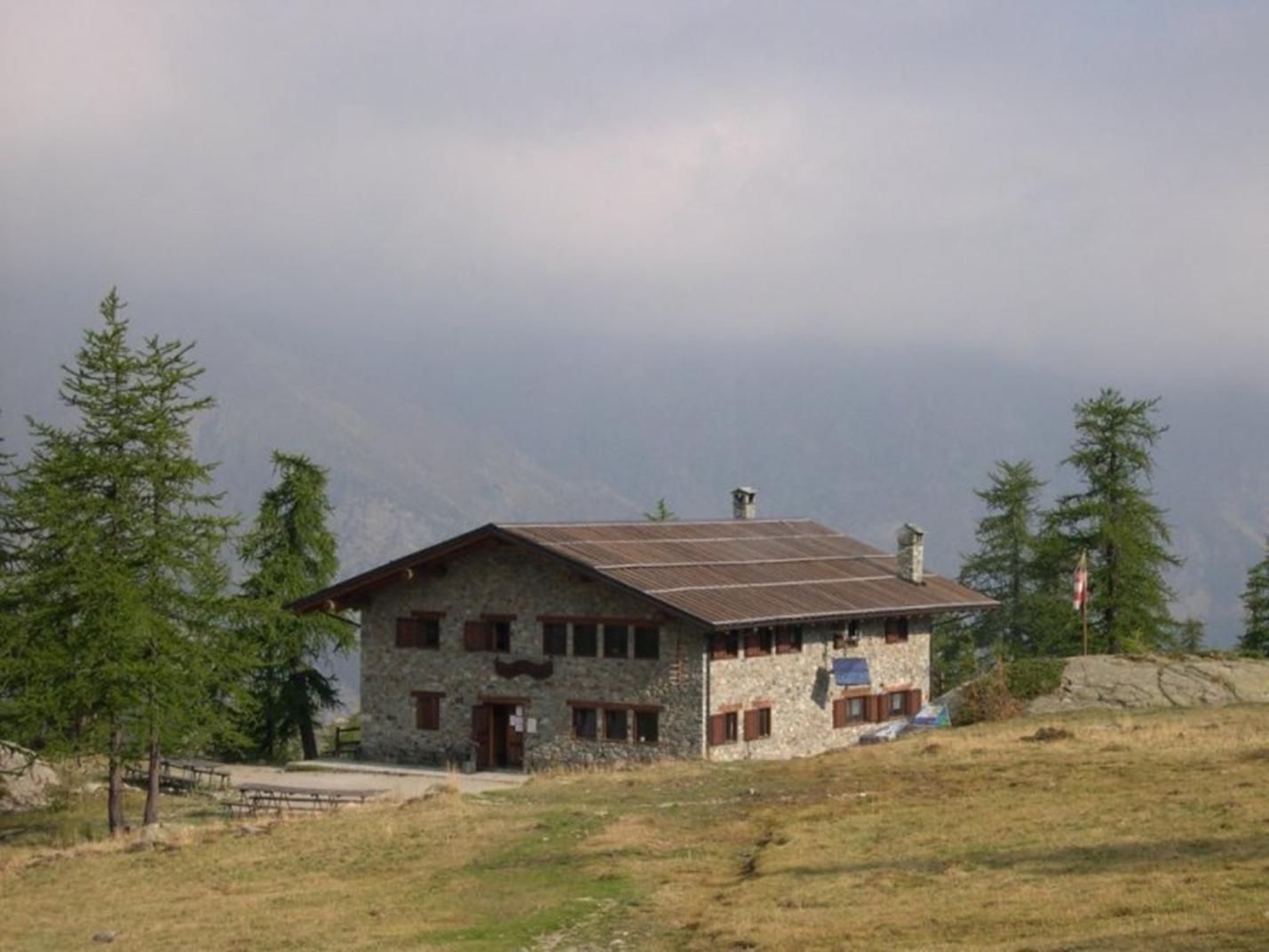
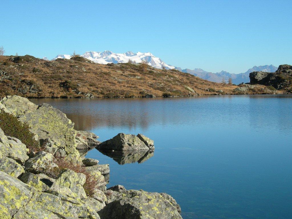
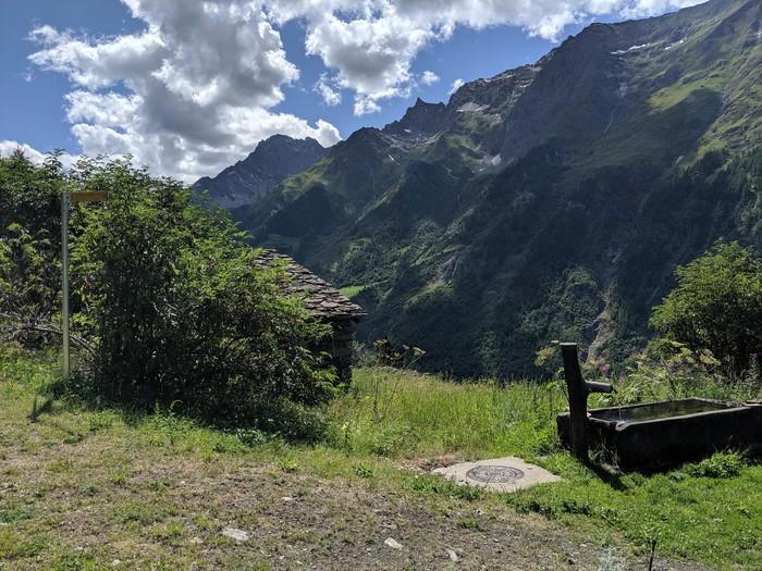
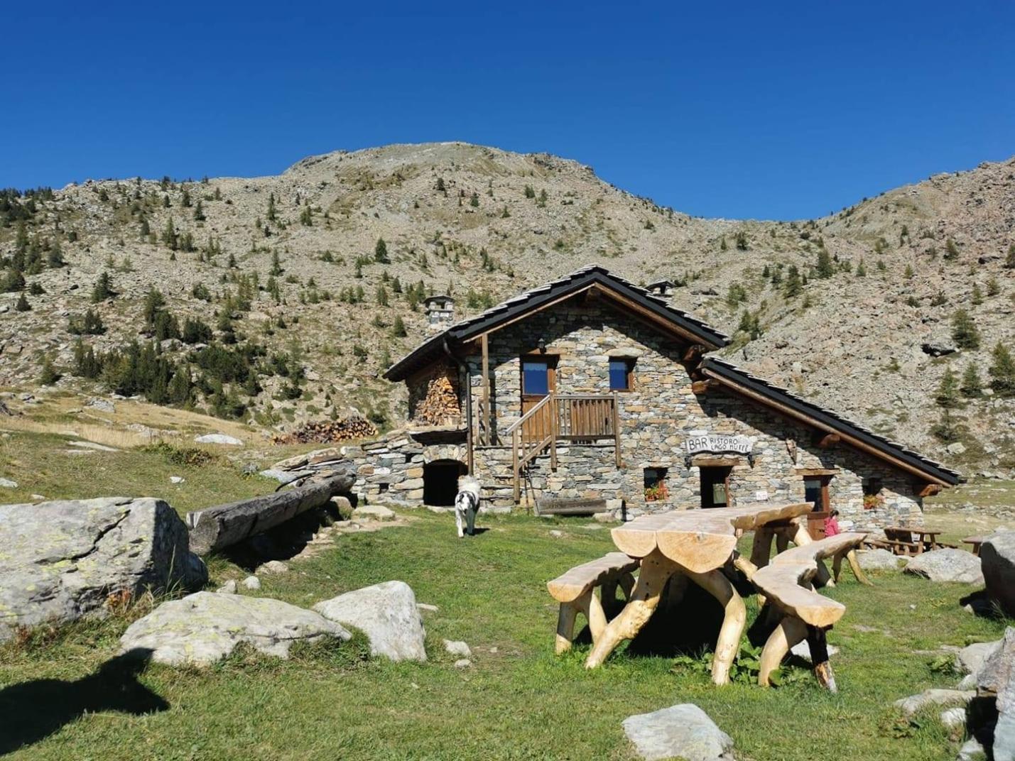
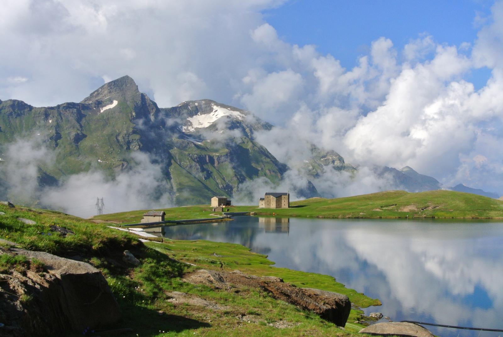
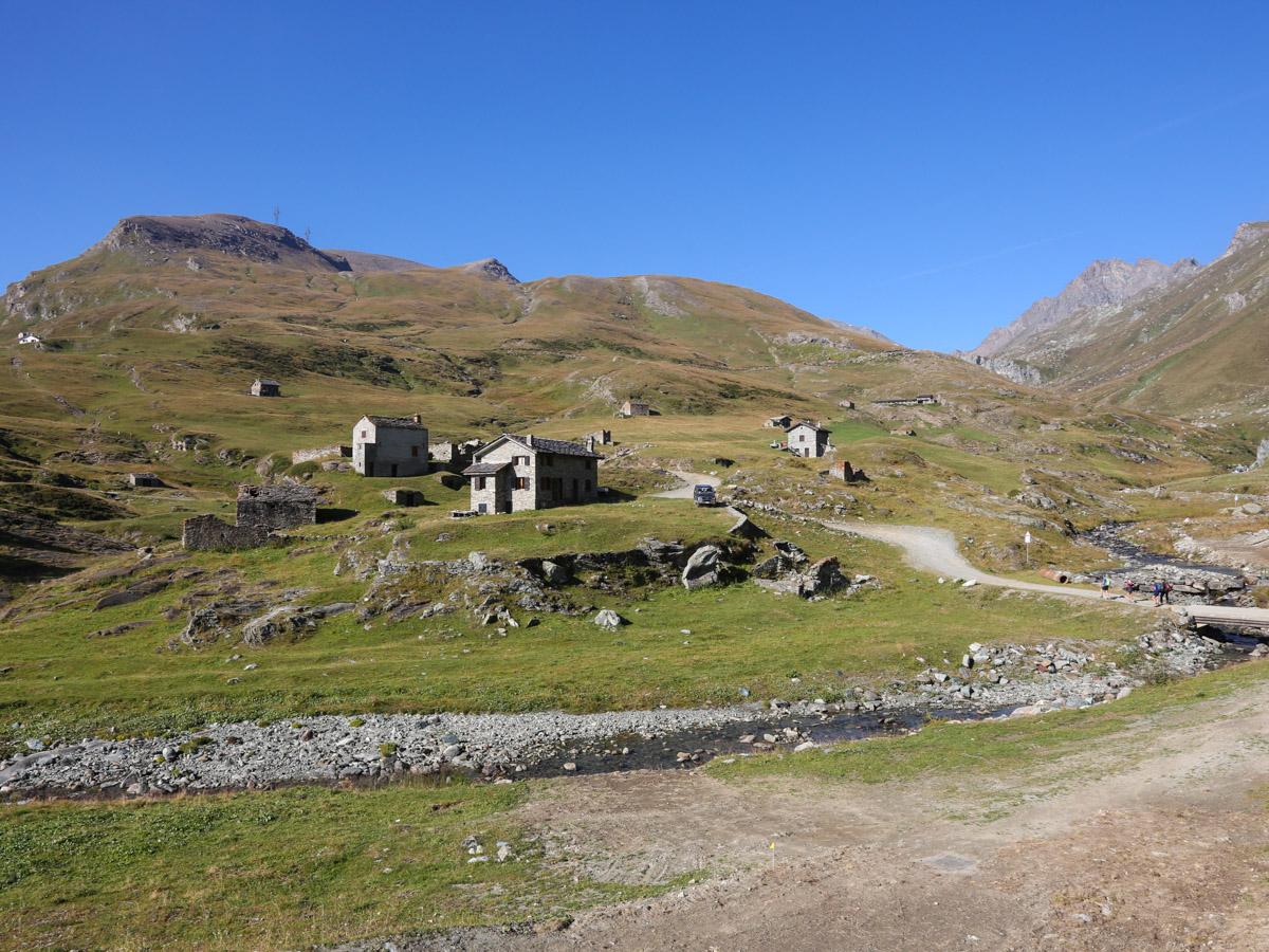
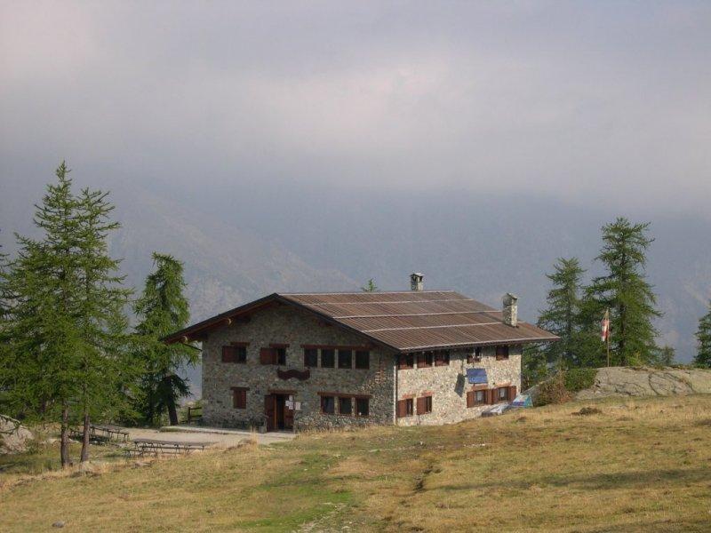
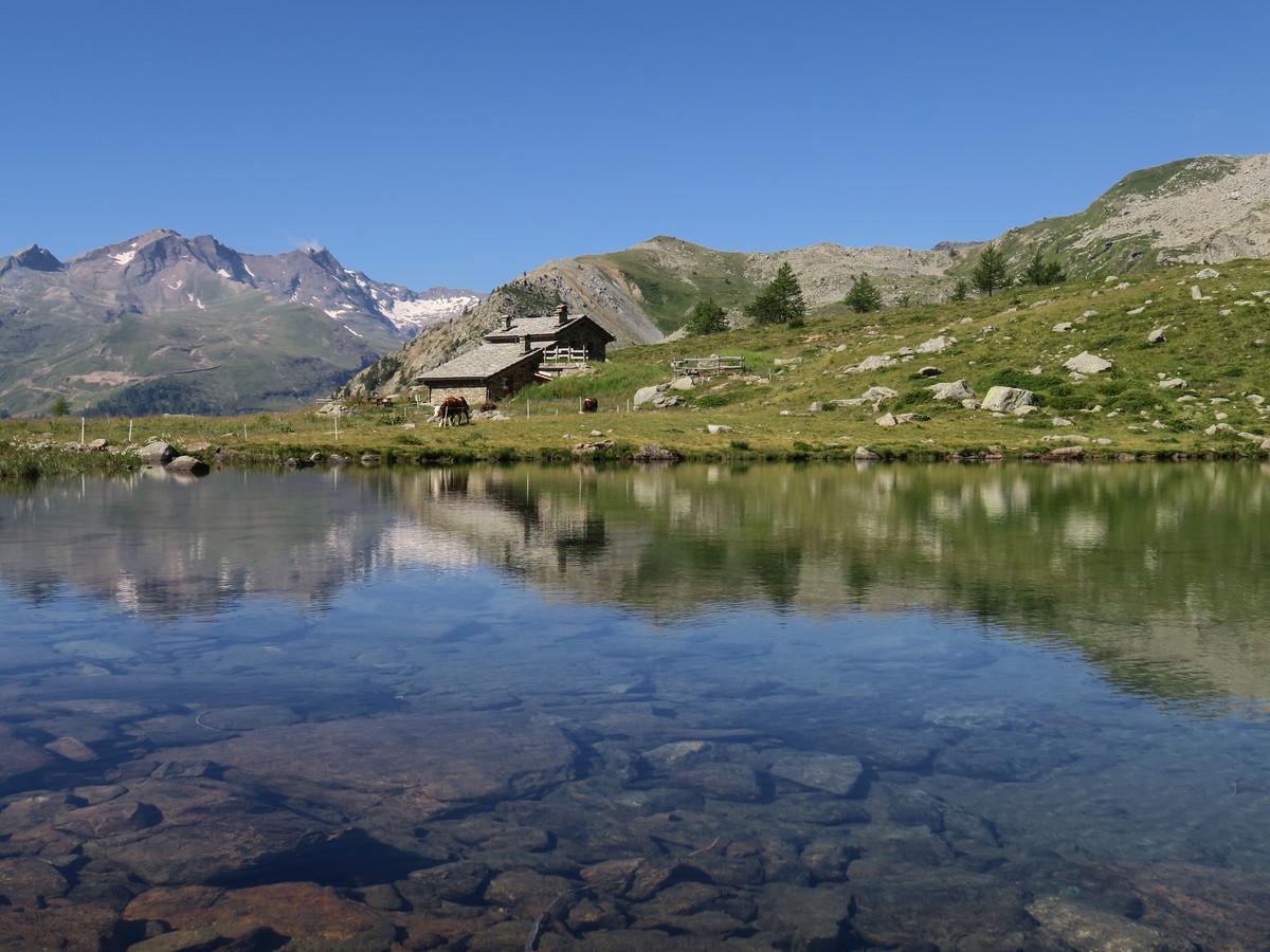
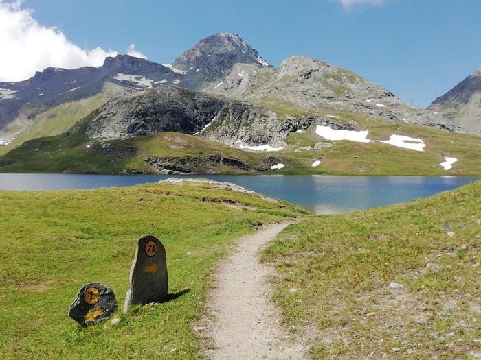
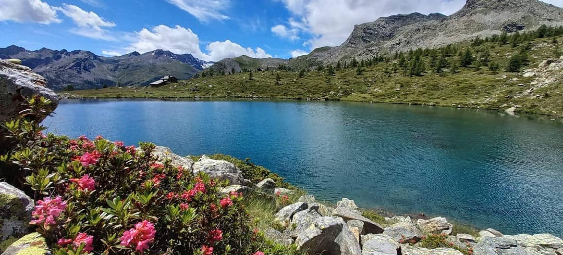
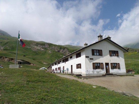
After enjoying the view, retrace your steps to the fork on the trail that continues west. Proceed along the trail through loose terrain/scree until you reach an area with clearings, wetlands, and sparse trees. Find the left fork (at about 2284 meters above sea level) that descends towards Lake Muffé (avoid the trail to the right leading to Champdepraz). Descend left through clearings with sparse trees on trail no. 10C, heading towards Champorcher until you encounter the main trail leading to Lake Muffé. It is recommended to take a break at the Lake Muffé refreshment bar or by the lake. After resting, descend towards Remoran/Champorcher until you find a left fork (trail no. 10 towards Chardonney/Cort; avoid the trail to the right that descends to a higher parking area). The trail traverses the large pastures of the Cort alpine pastures, passing through them. Then descend on the trail, crossing the pastures on a noticeable mule track, leading you back to the parking area where you left your car.
Notes: Circular route of medium difficulty. The trail is not always clearly visible or easy to follow. In particular, the section to Cima Piana may not be well marked. It is recommended to undertake this hike if you consider yourself quite experienced.
Variants:
• Cima Piana (with ascent and descent from Remoran and Lake Muffé)
Trail markers: 10 – 10C - 10D/102
Elevation gain: 745 meters
Distance: 3.6 km (one way)
Ascent time: 2h15-2h45
Descent time: 1h20-1h50
Difficulty: E