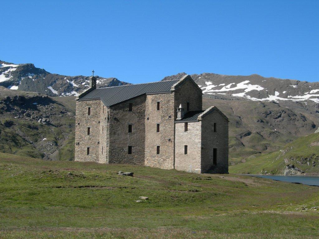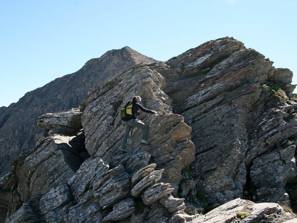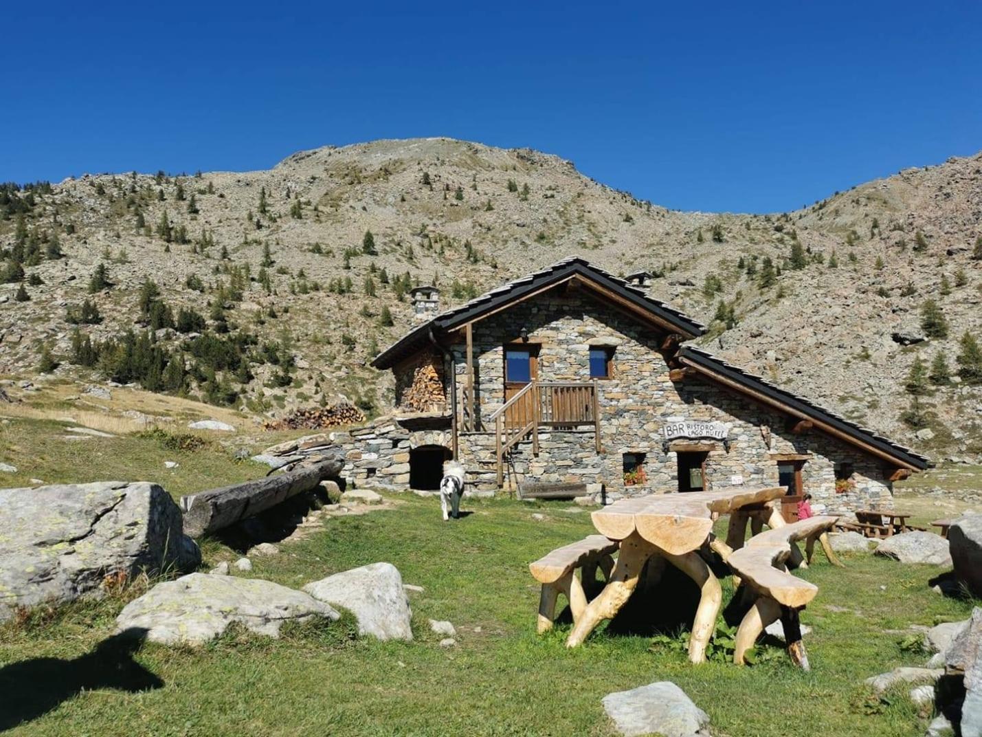
First Section: Piazzale Dondena – Col Pontonnet – Tour Ponton (Trails n° AV2 – 8 - 8A)
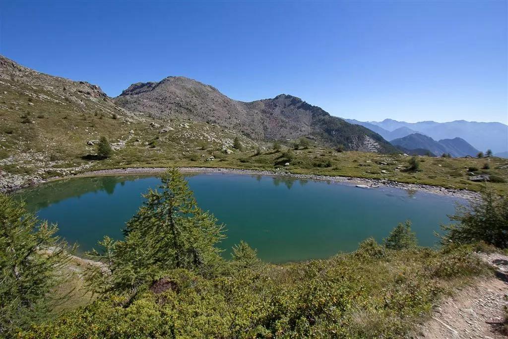
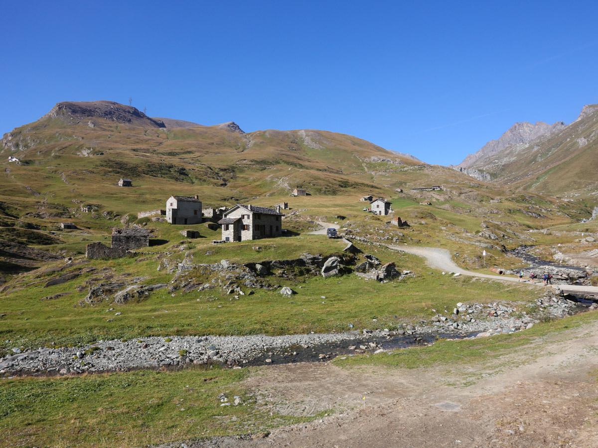
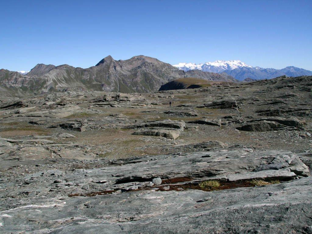
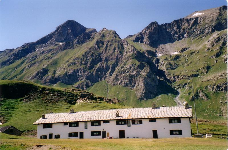
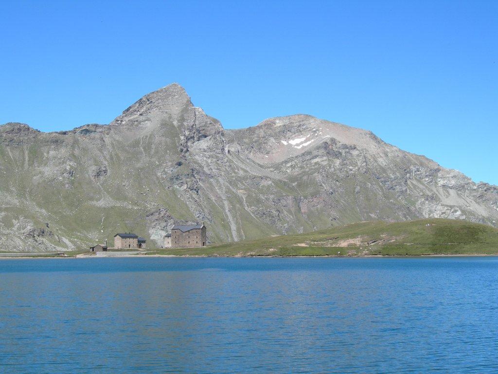
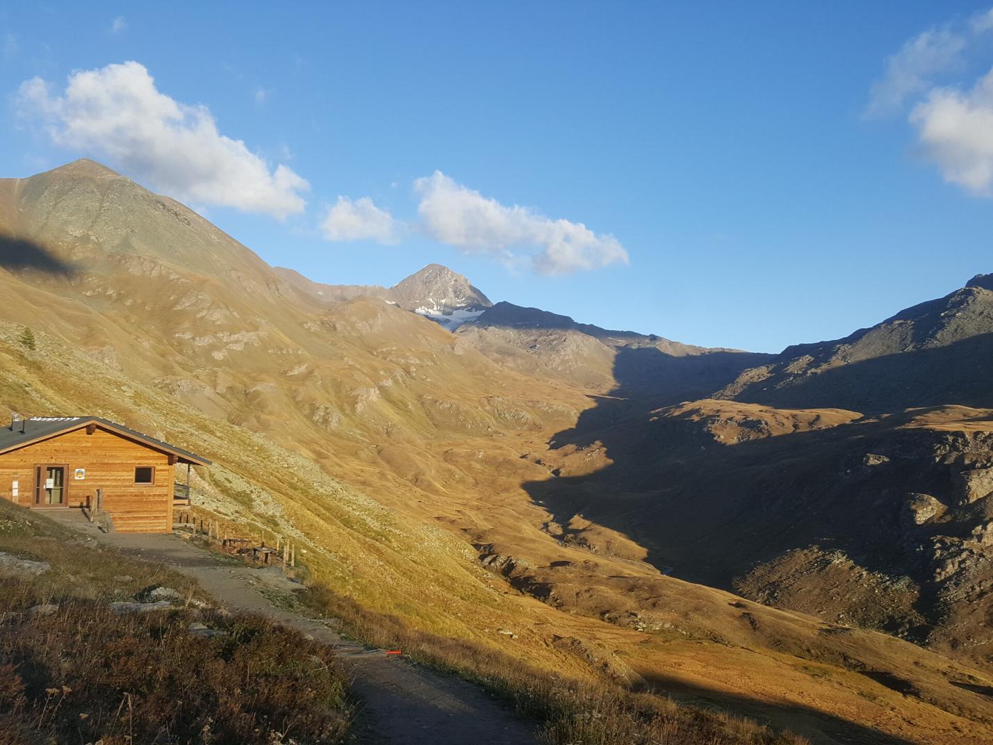
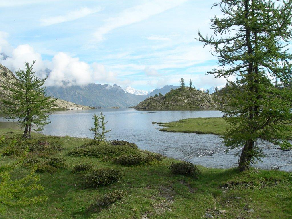
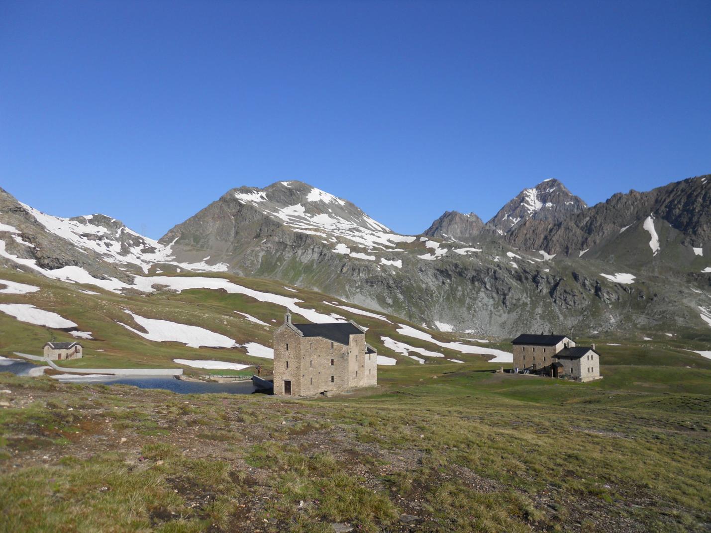
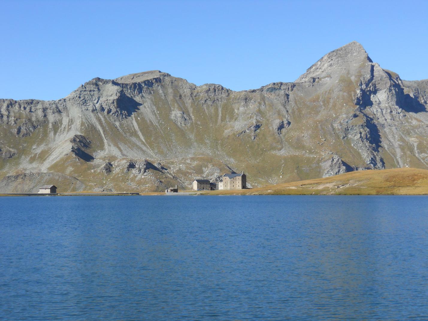
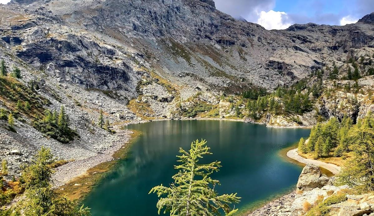
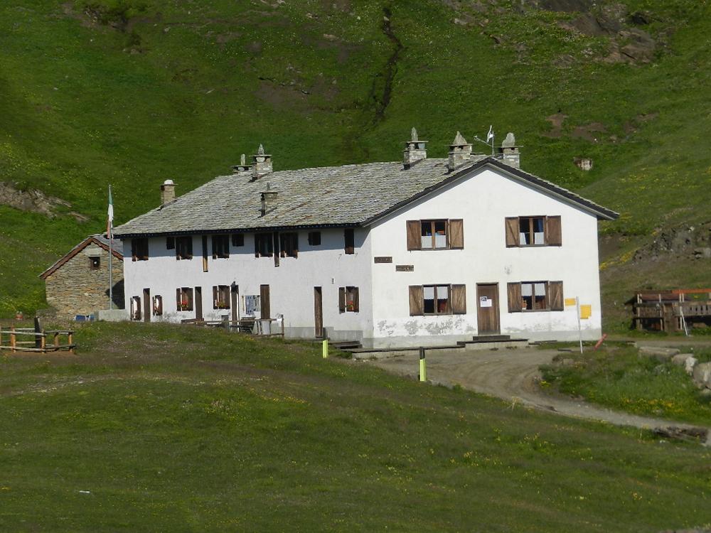
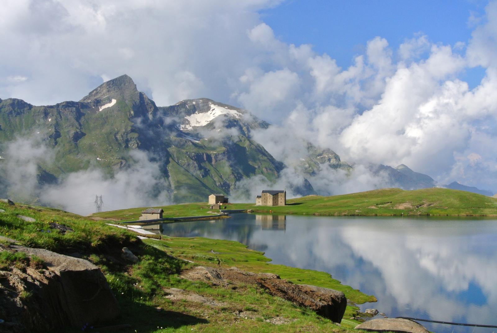
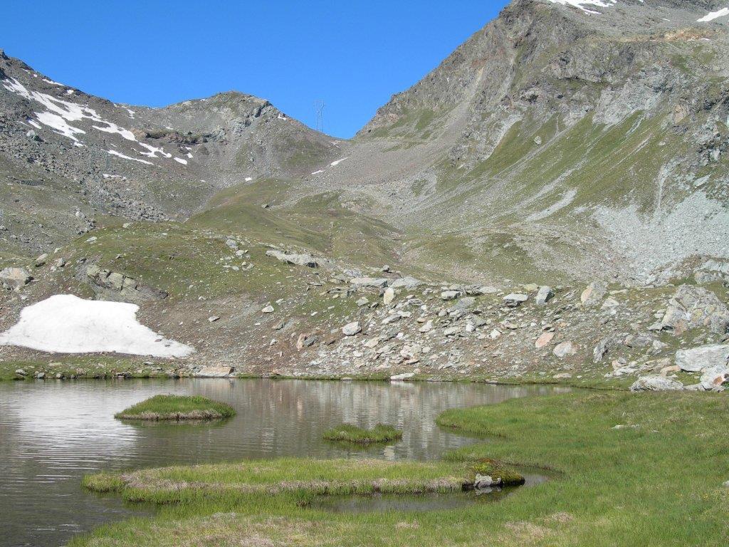
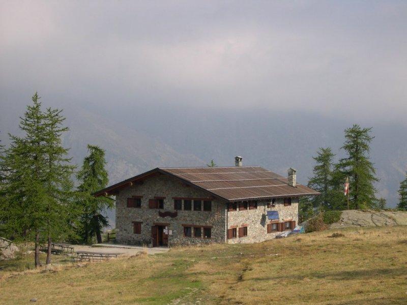
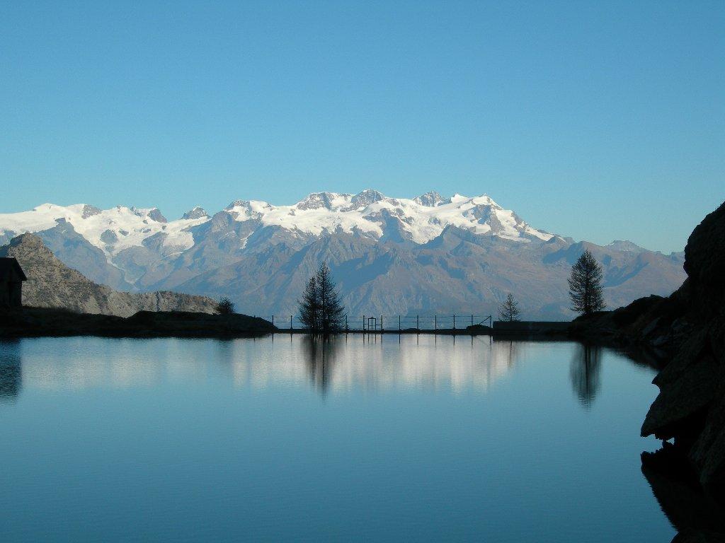
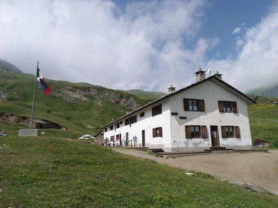
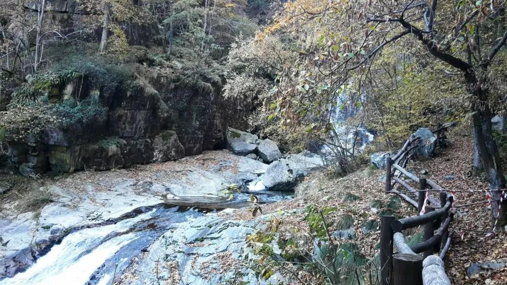
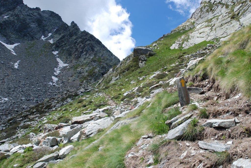
After leaving the car, ascend to Rifugio Dondena (2185 m asl) via the dirt road, formerly a royal road, which passes by several old hunting lodges. Once at the refuge, continue on the dirt road (AV2 towards Rifugio Miserin) to reach Pian Enseta (about 2327 m asl). Leave the dirt road and find the right turn that leads you across a bridge to the left bank of the Ayasse stream. Continue on the trail to about 2450 m asl where you will reach a junction. Take the left trail towards Col Pontonnet (n° 8). This section of the hike gradually ascends the slope to reach Lago di Pontonnet (about 2702 m asl). Continue up the broad trail to Col Pontonnet (2898 m asl). From Col Pontonnet, you can make a round-trip detour to Tour Ponton (3101 m asl), adding about 200 meters of elevation gain, via the left trail (n° 8A) that climbs the rocky ridge of Tour Ponton to its summit at about 3101 m asl. Here, enjoy the panorama and take a well-deserved break.
Second Section: Col Pontonnet – Colle Invergneux – Gimillan (Trails n° 7C, 10D and 8)
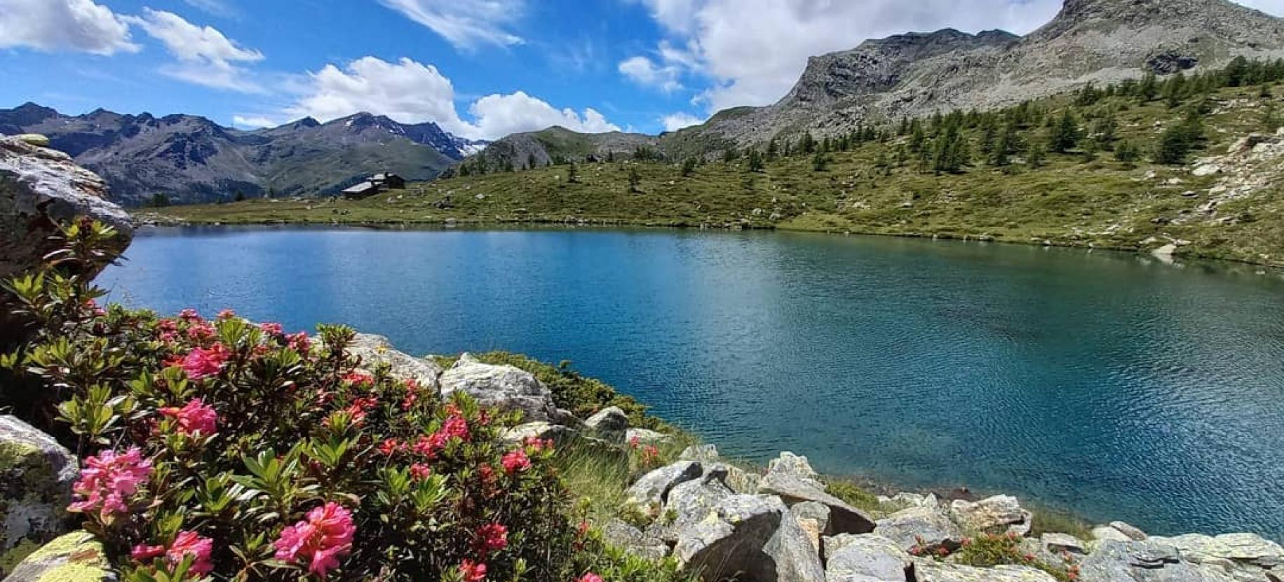
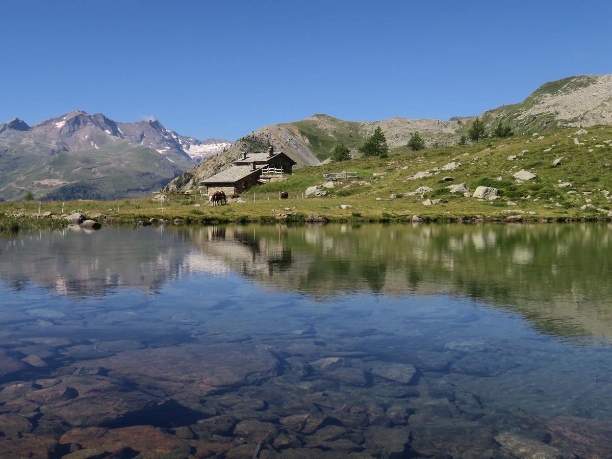
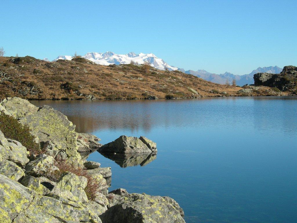
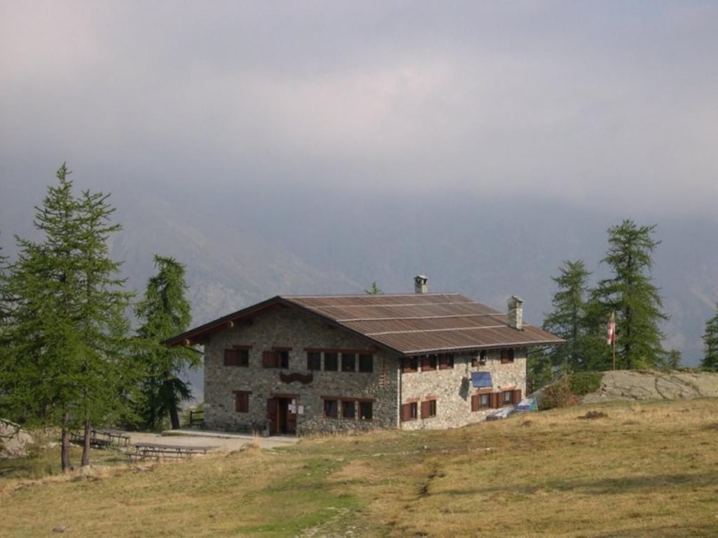
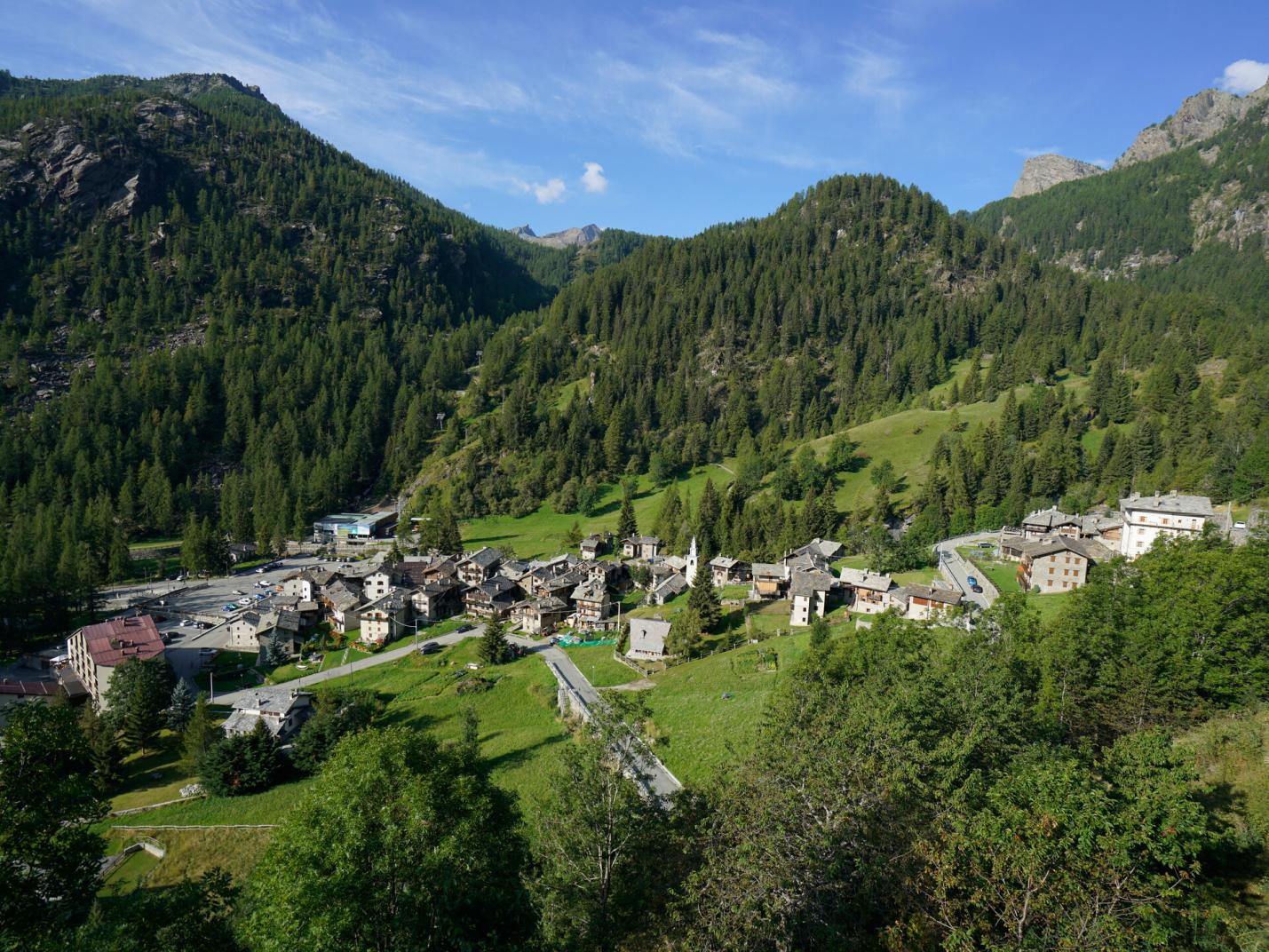
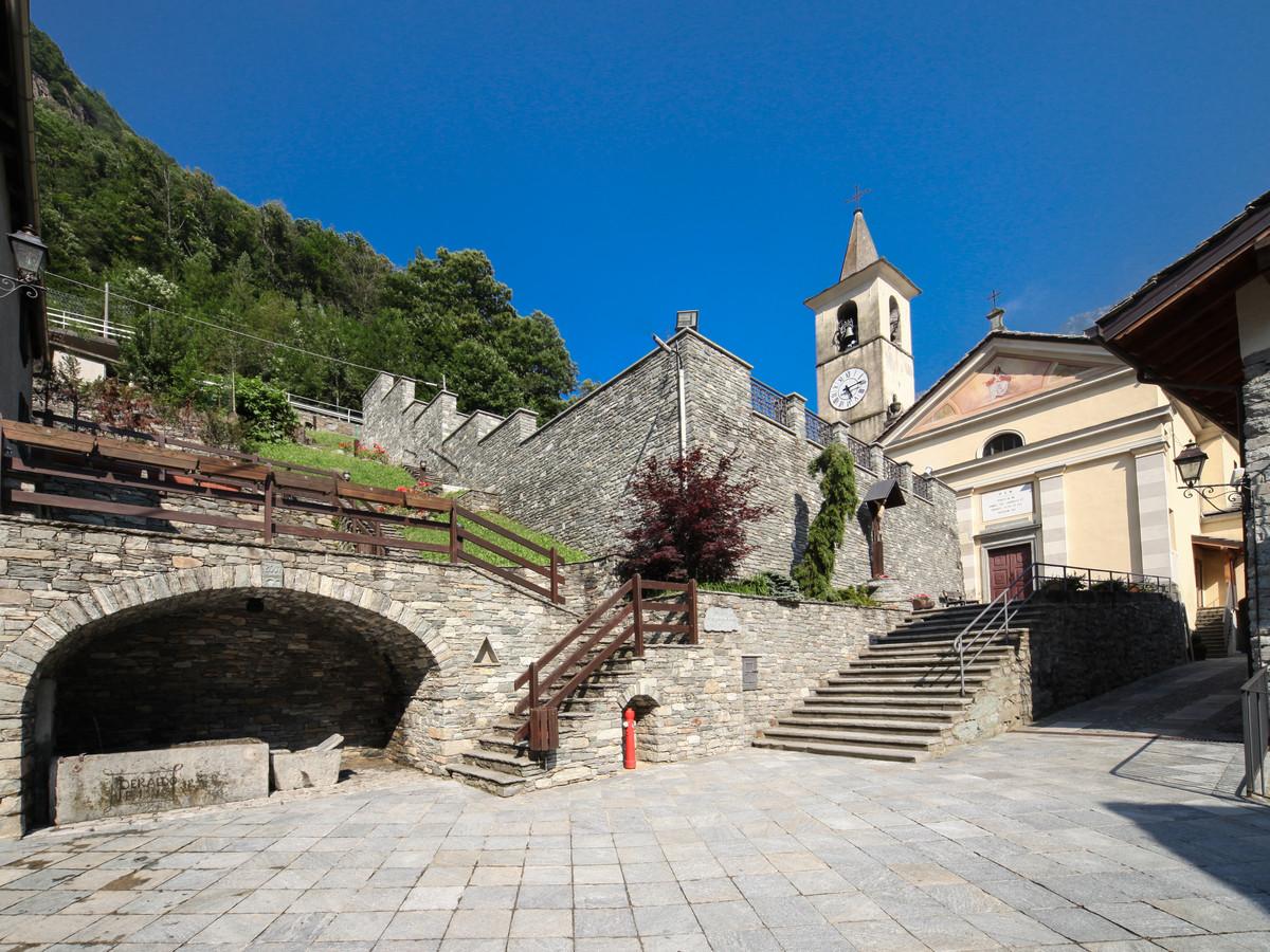
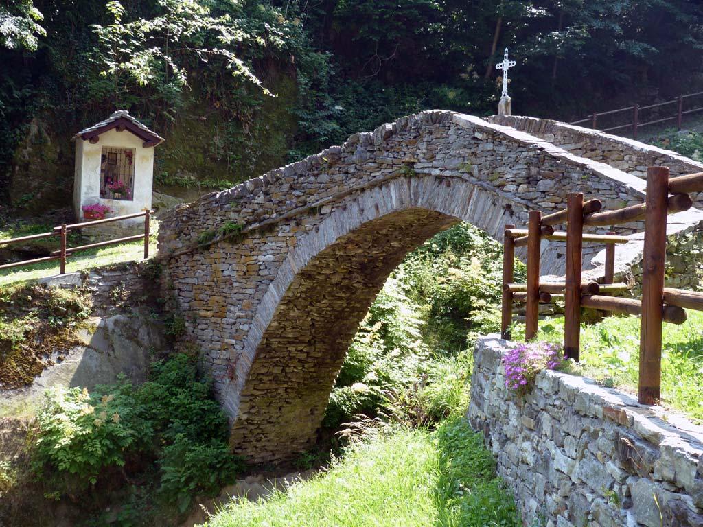
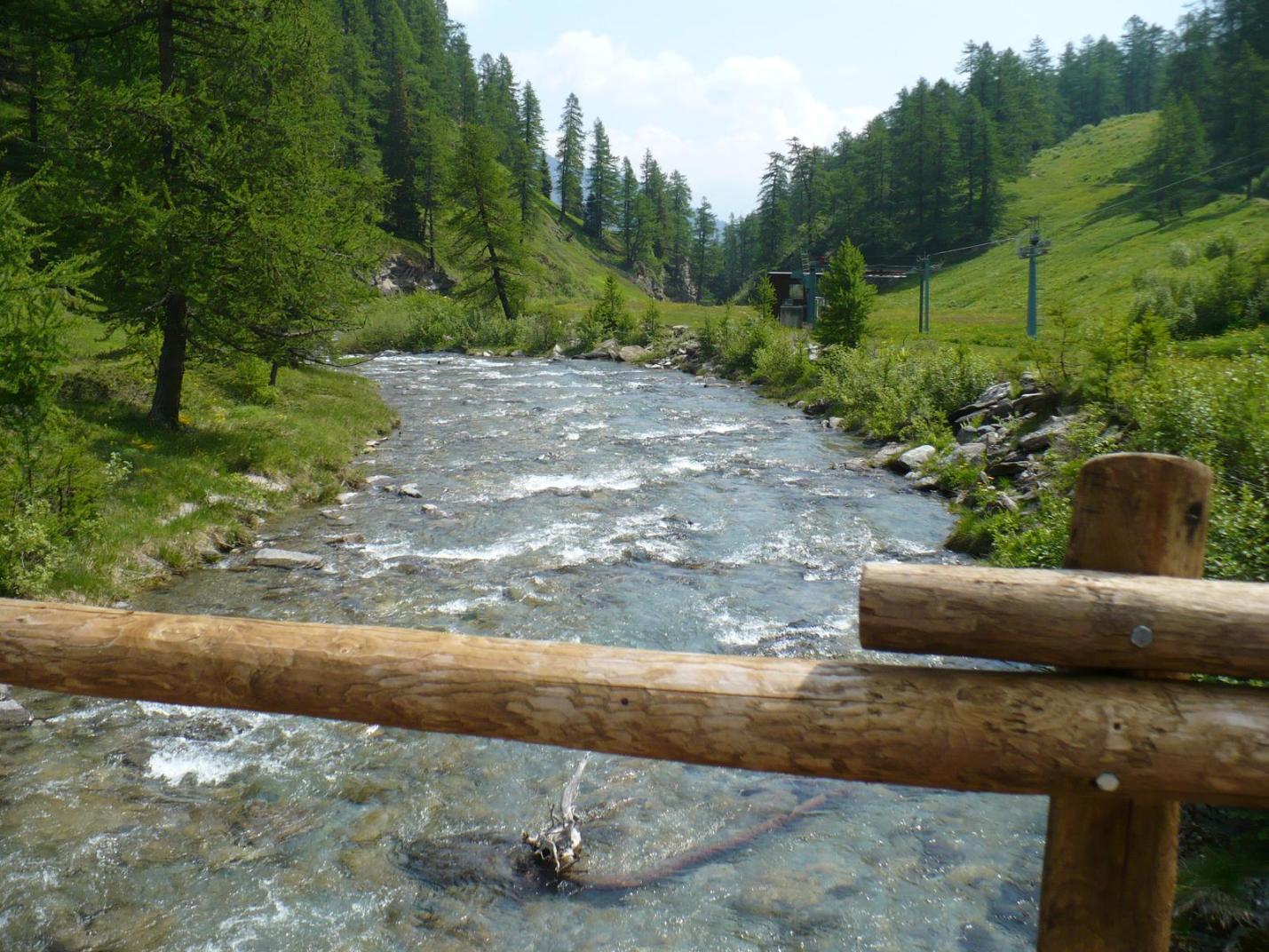
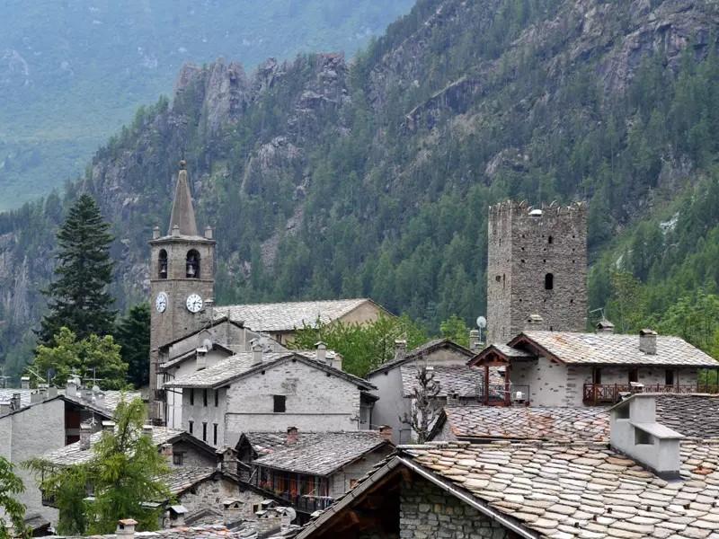
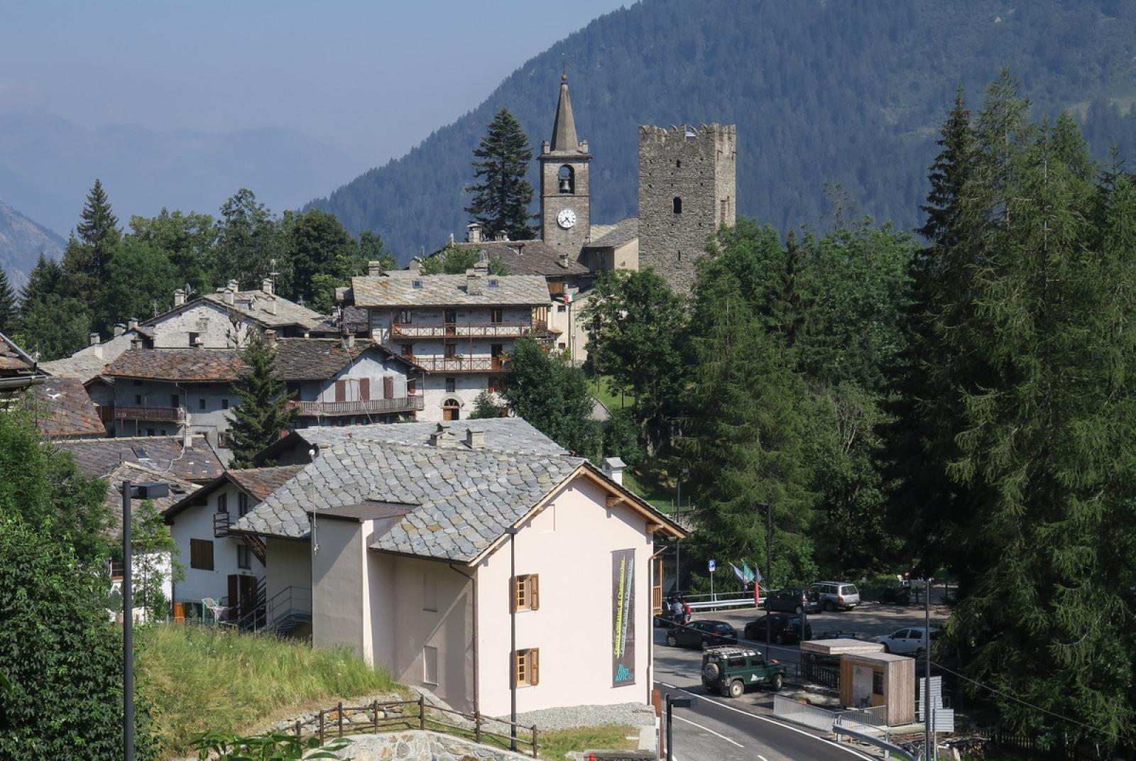
From Col Pontonnet, descend towards Cogne on trail n° 7C, passing near Lago Pontonnet (2808 m asl). Descend to find a dirt road and follow it down for a few hundred meters to approximately 2560 m asl, where you will find trail n°10D, which ascends to the right towards Colle dell’Invergneux. Climb the trail, which initially traverses the slope and then ascends steeply to Colle dell’Invergneux (2902 m asl). From Colle dell’Invergneux, descend into the Vallone del Grauson on trail n° 8 to Gimillan. The trail descends quite gently, passing by Lago Doraire and various high-altitude pastures to the Alpeggi di Erveillères. Continue through the valley, passing below Rifugio del Grauson. The trail then descends through pastures and forests to Gimillan (1800 m asl), passing near Grauson-vieux, Croset, and Pila, and crossing a beautiful stream.