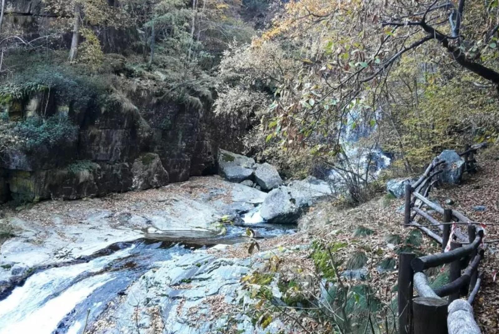
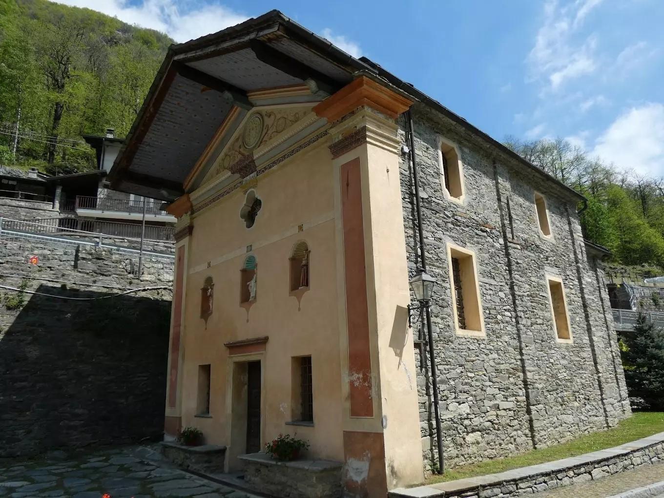
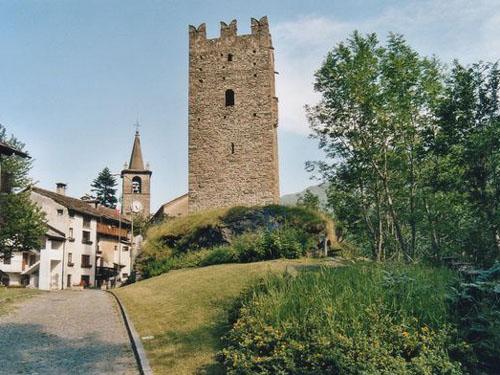
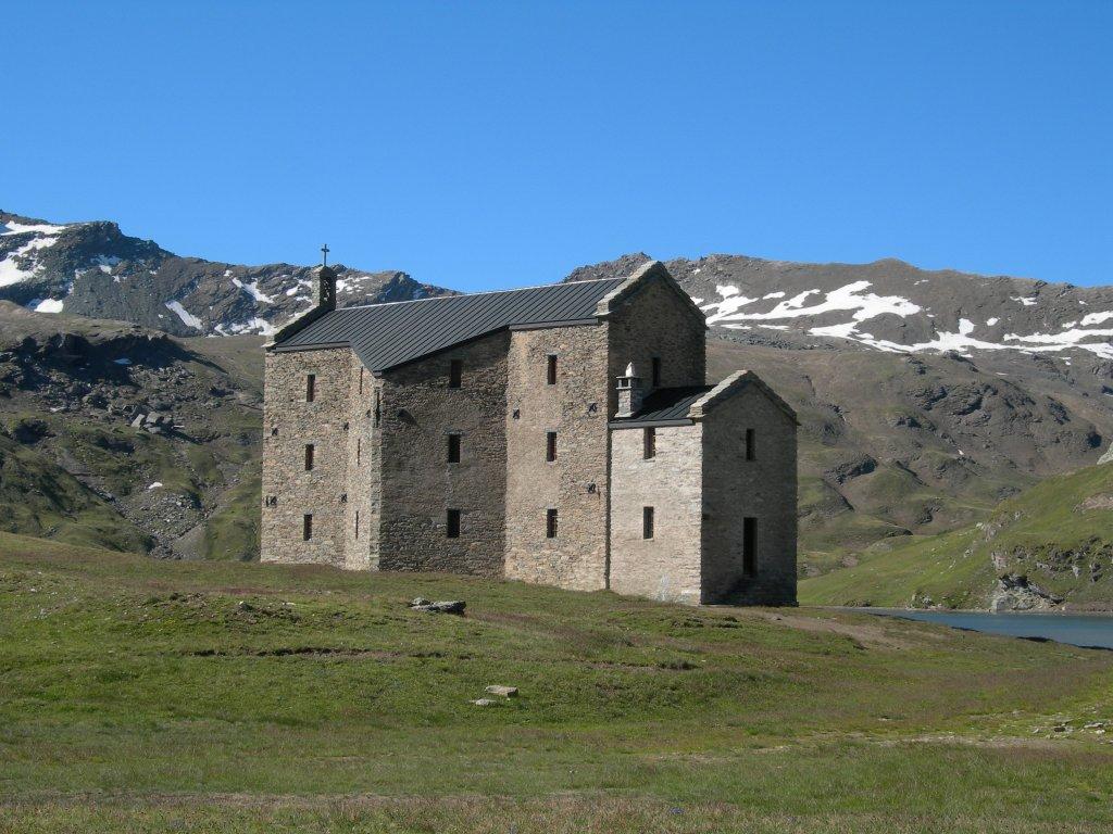
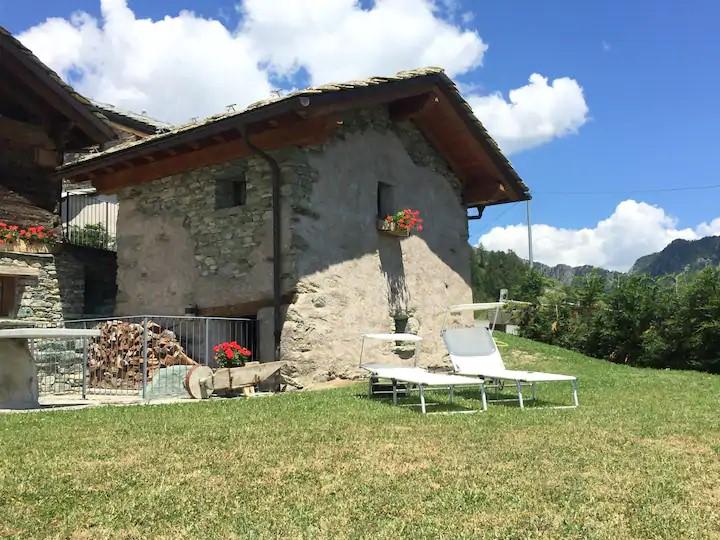
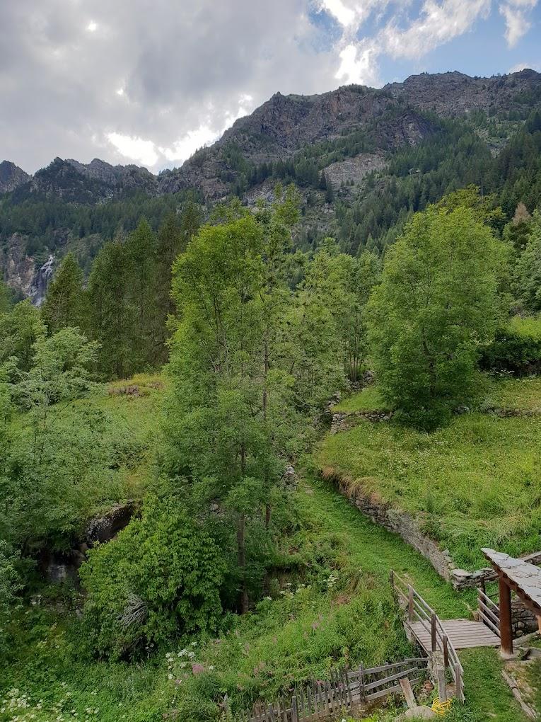
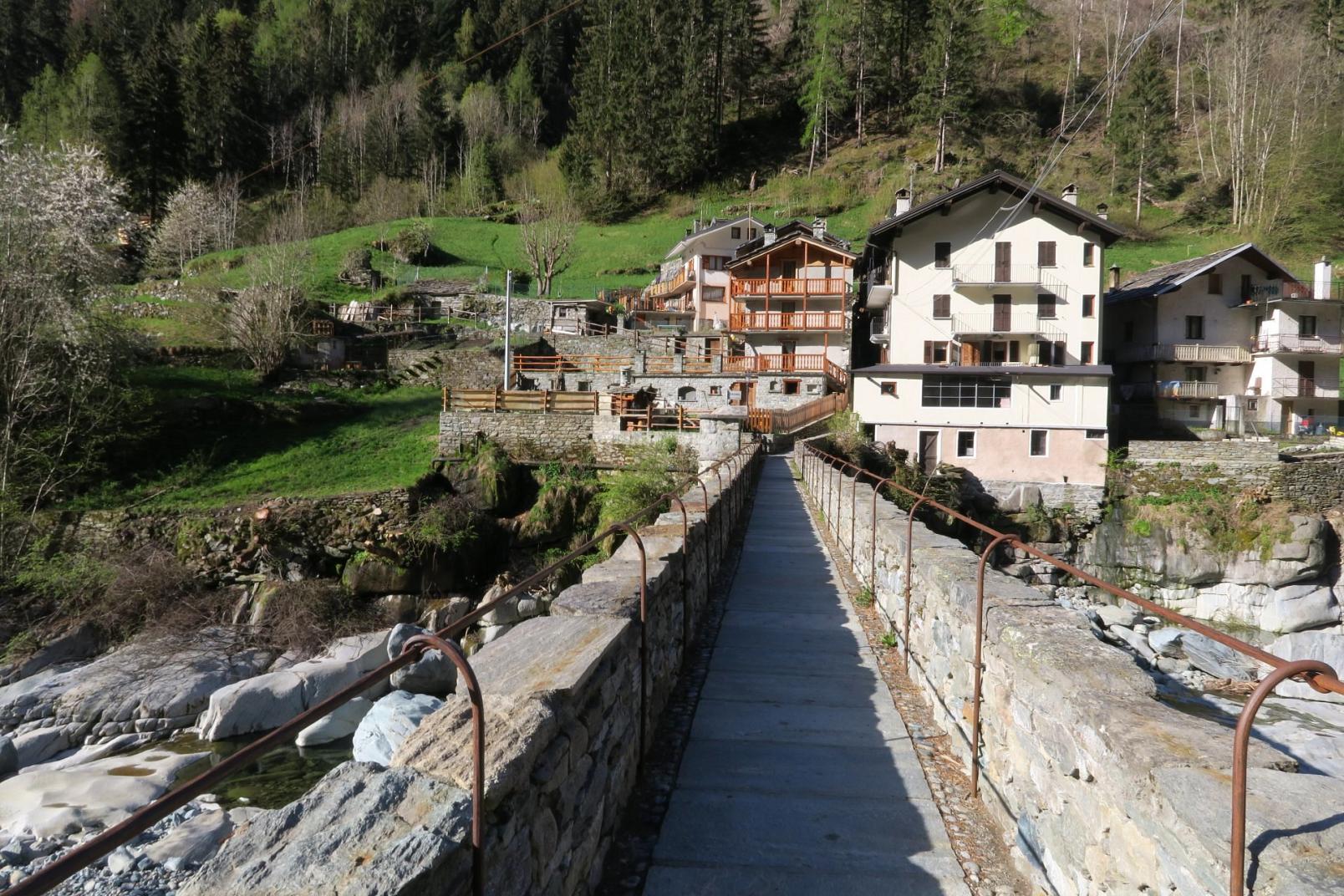
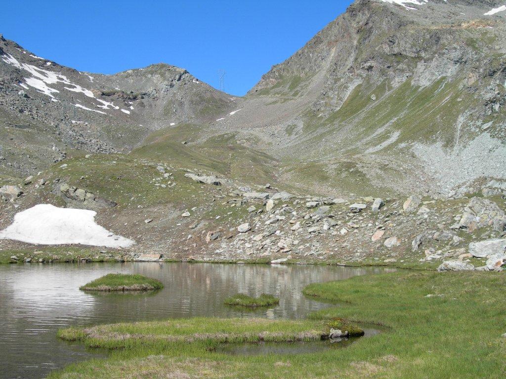
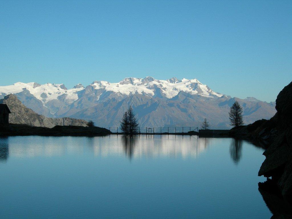
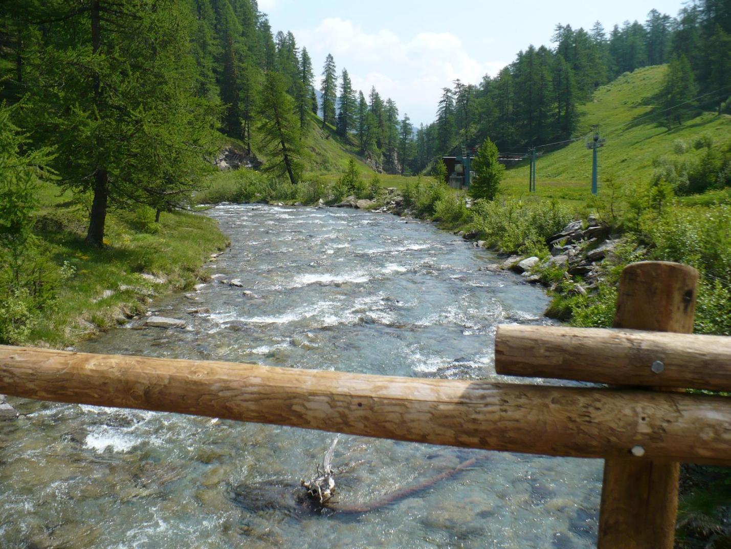
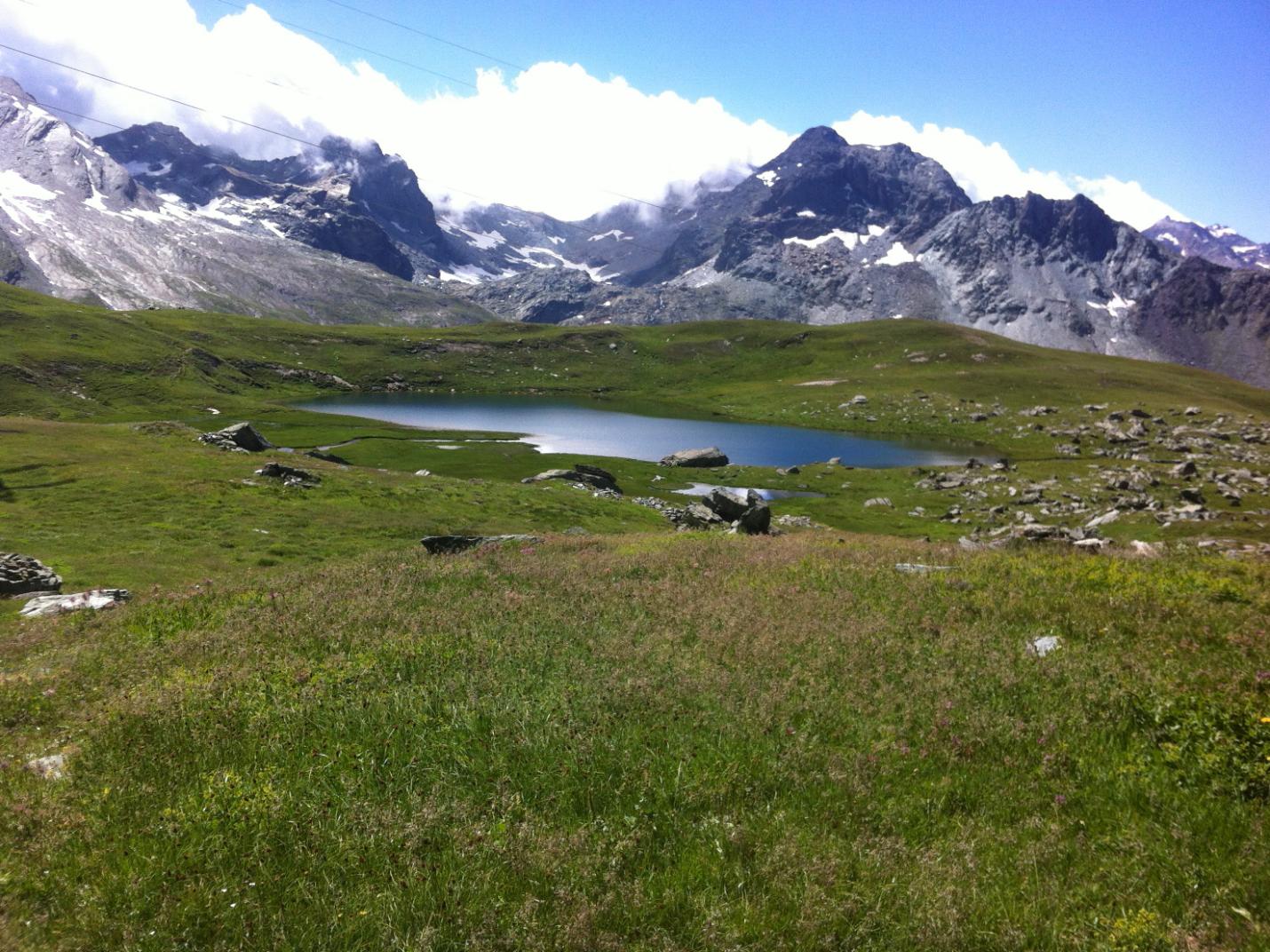
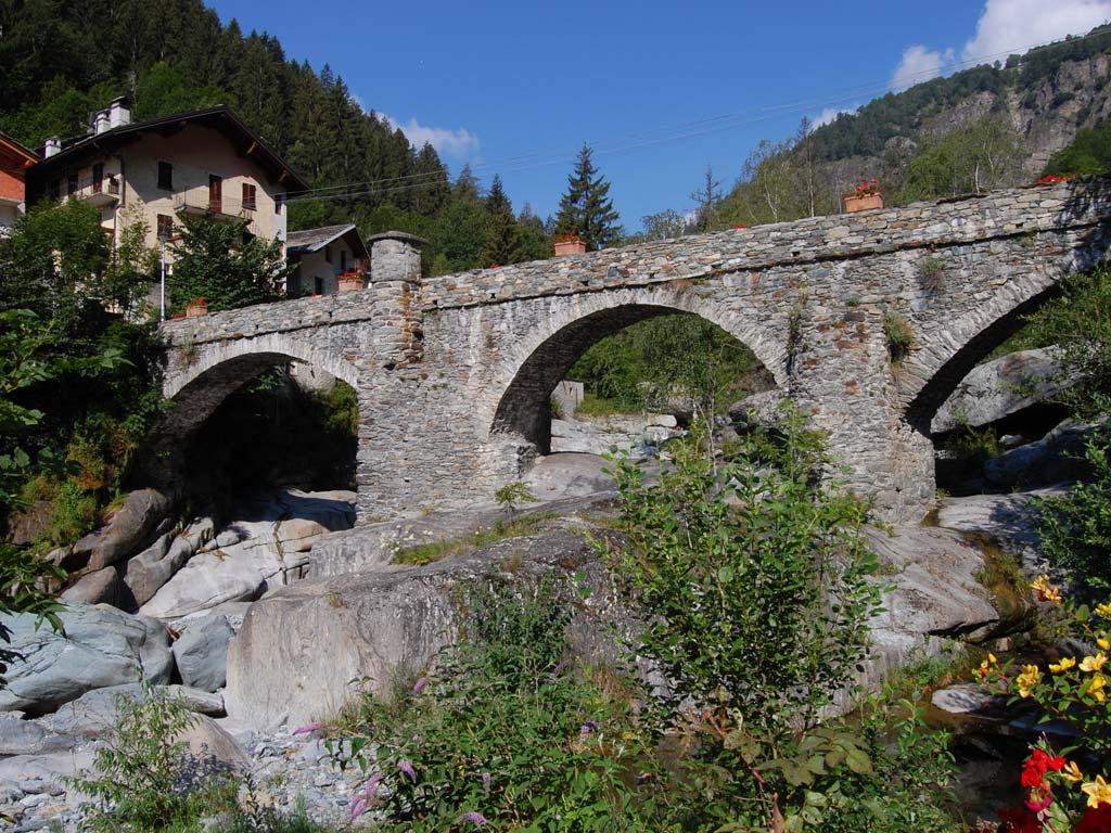
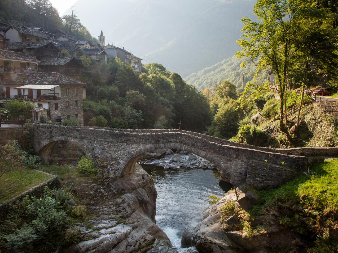
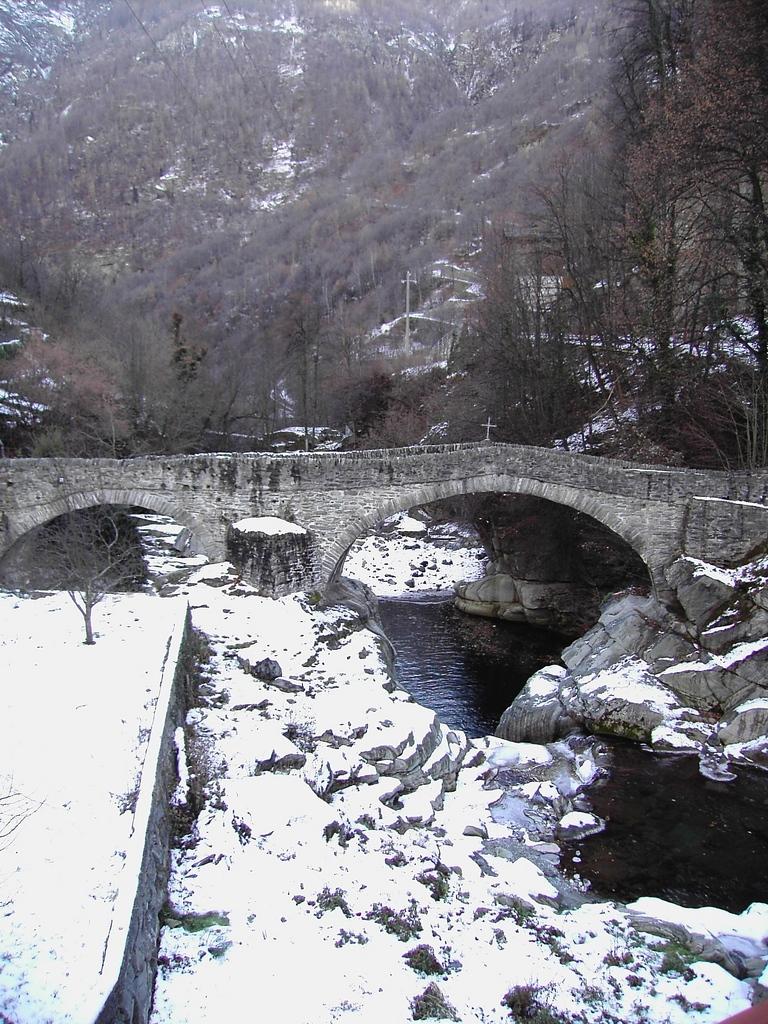
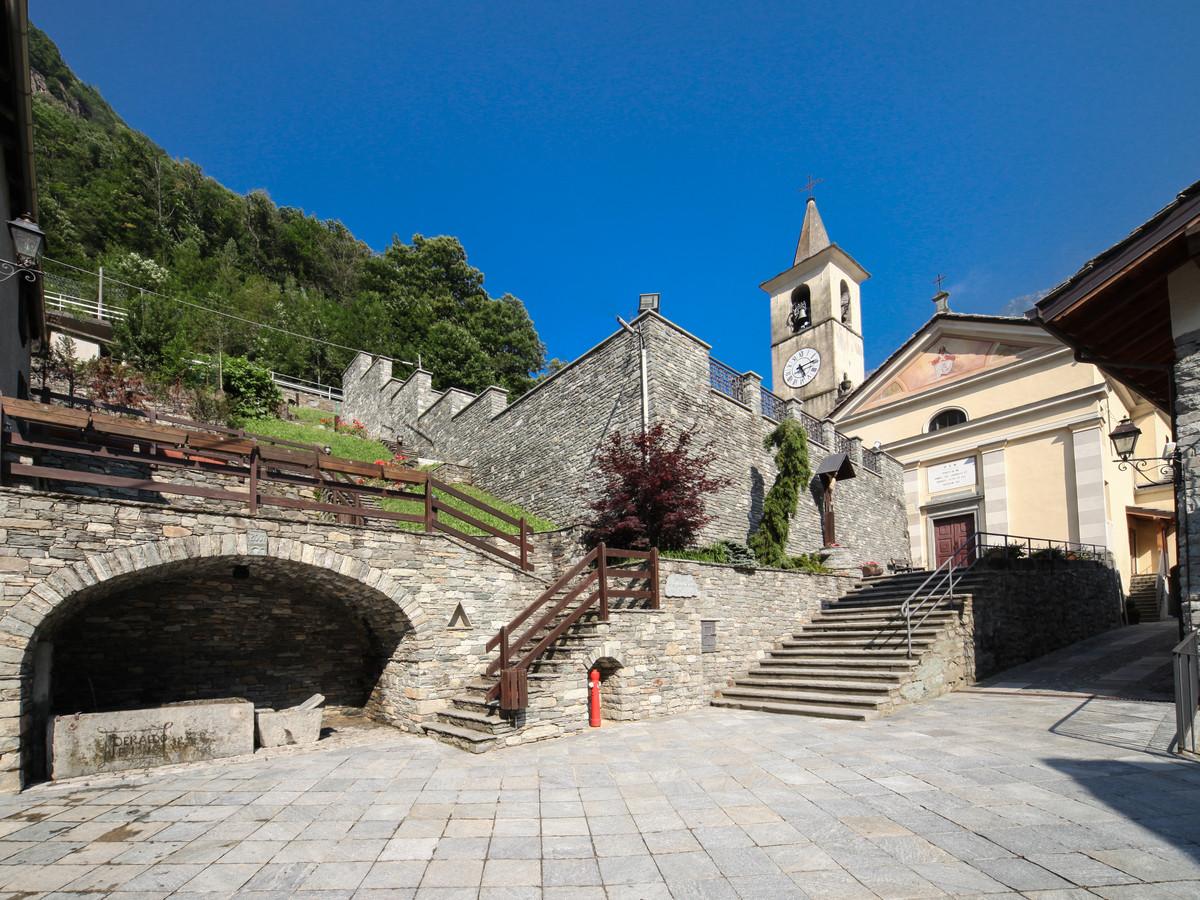
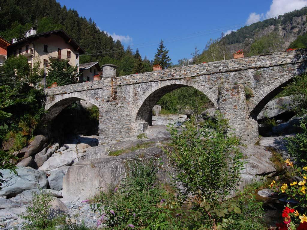
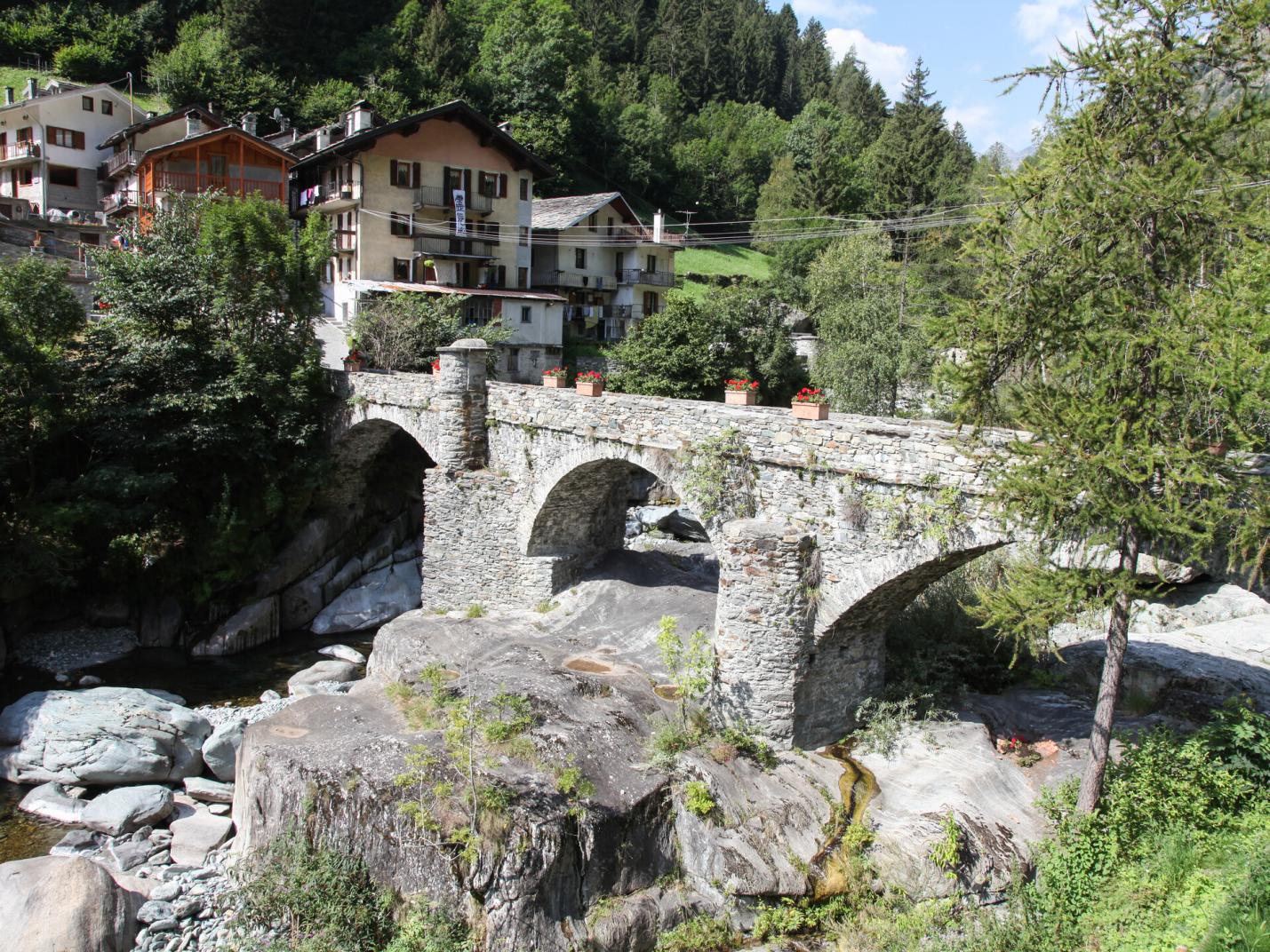
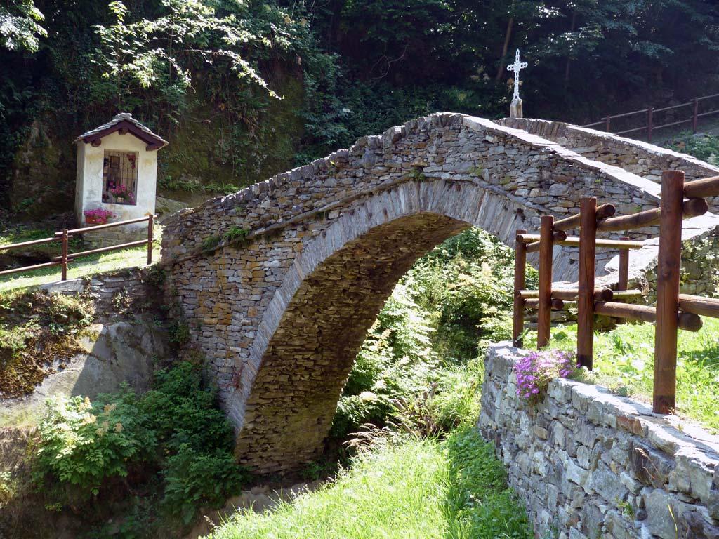
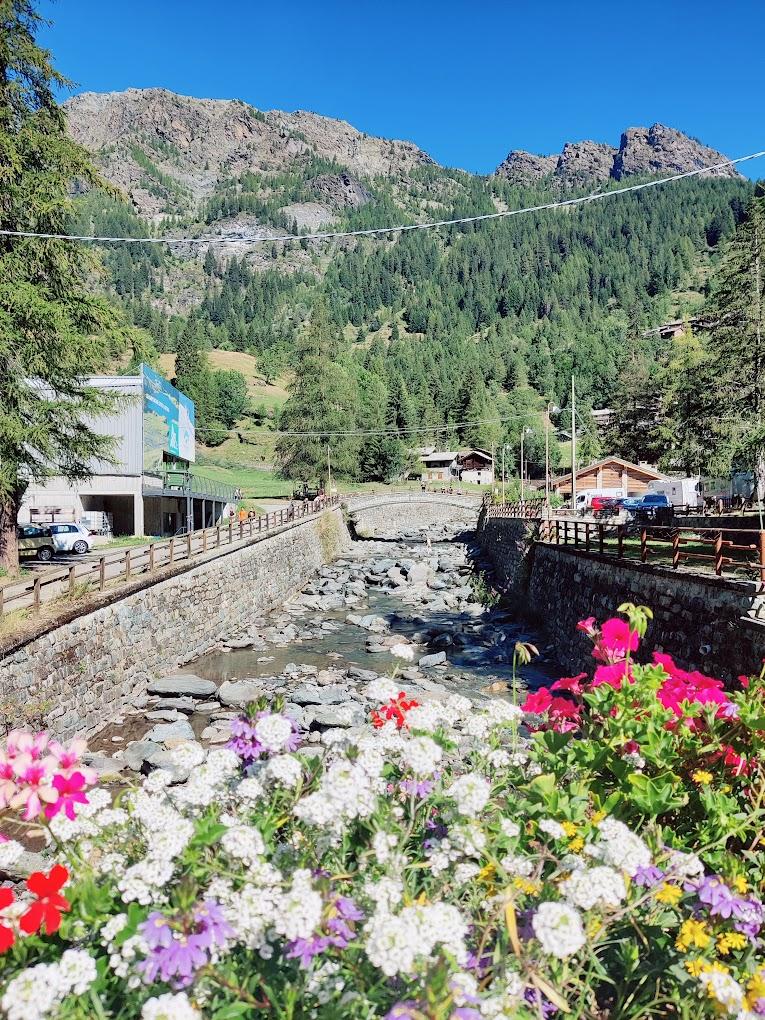
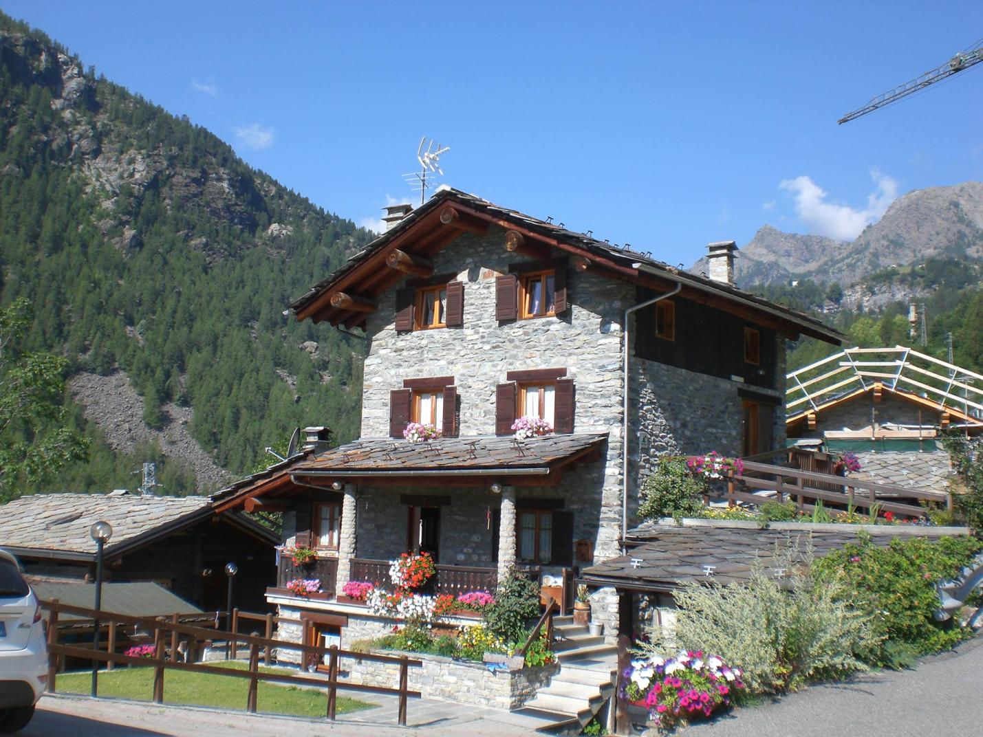
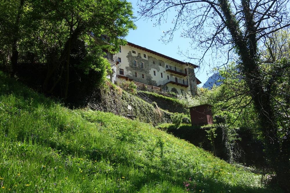
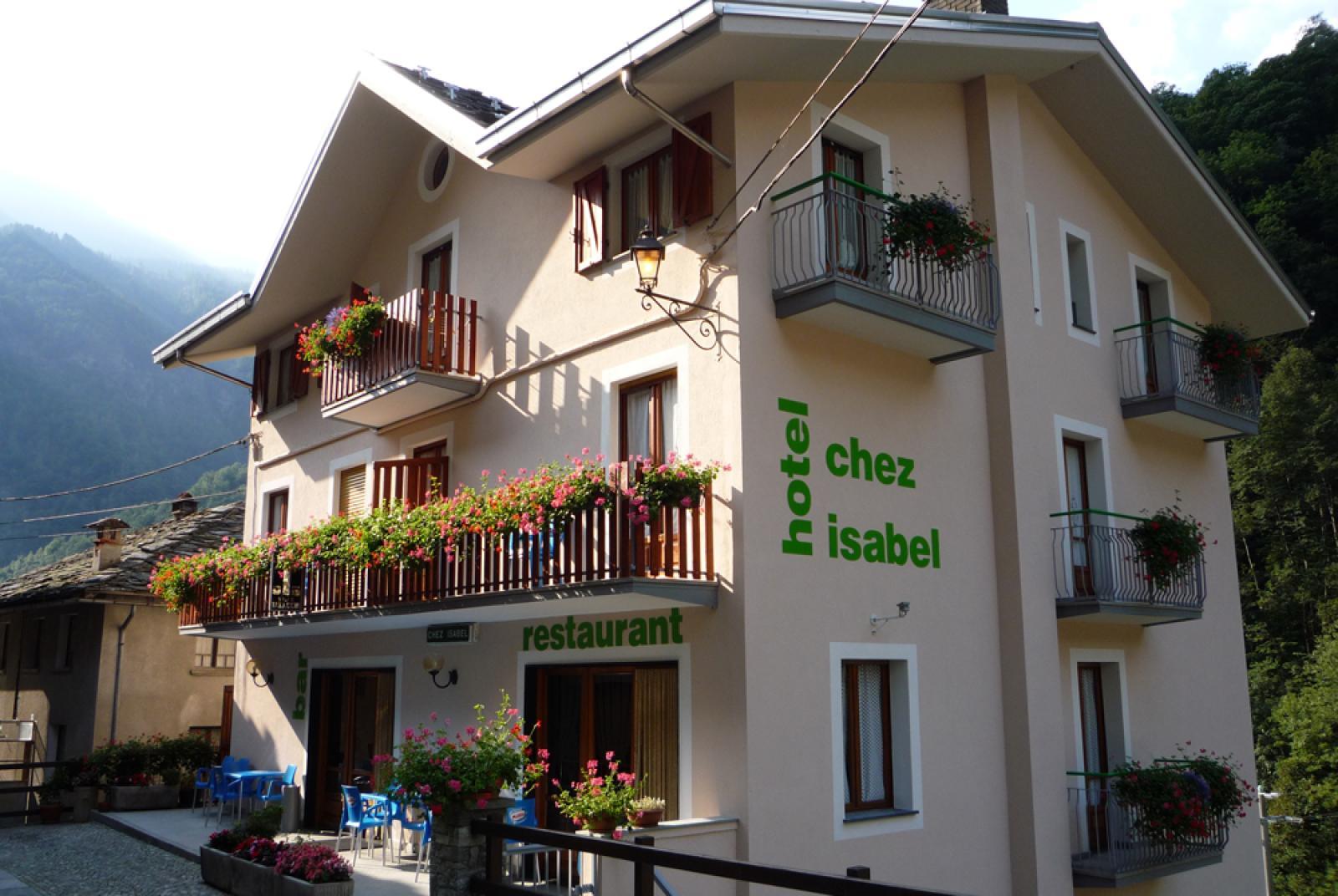
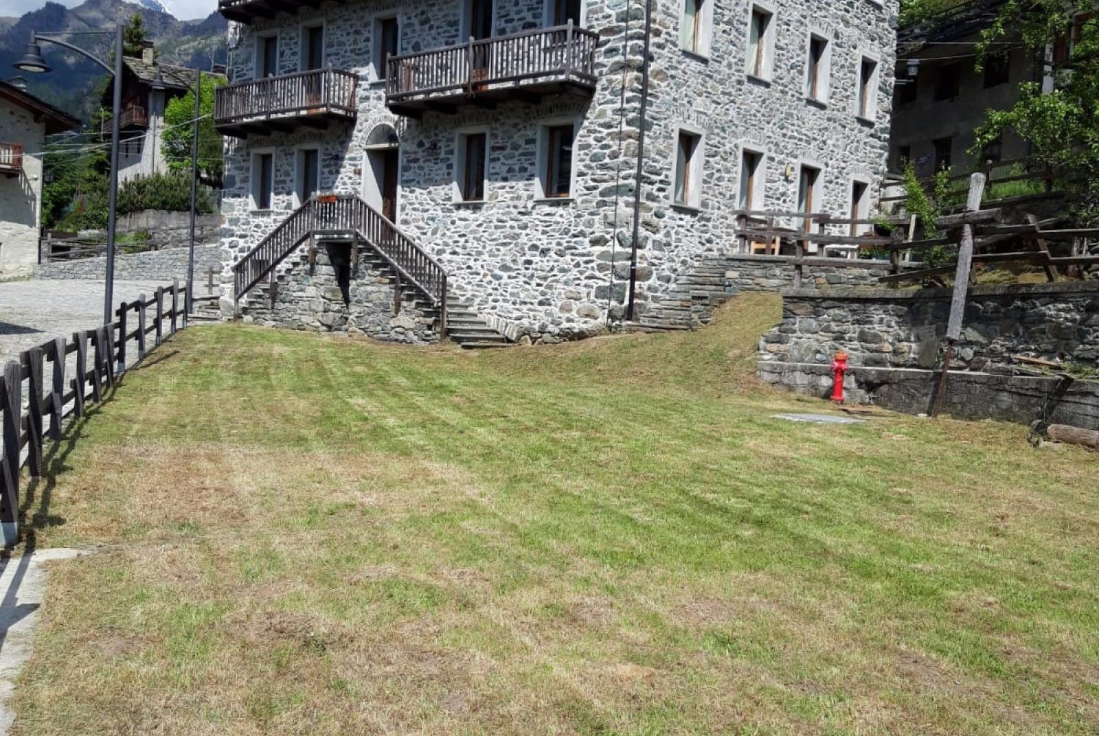
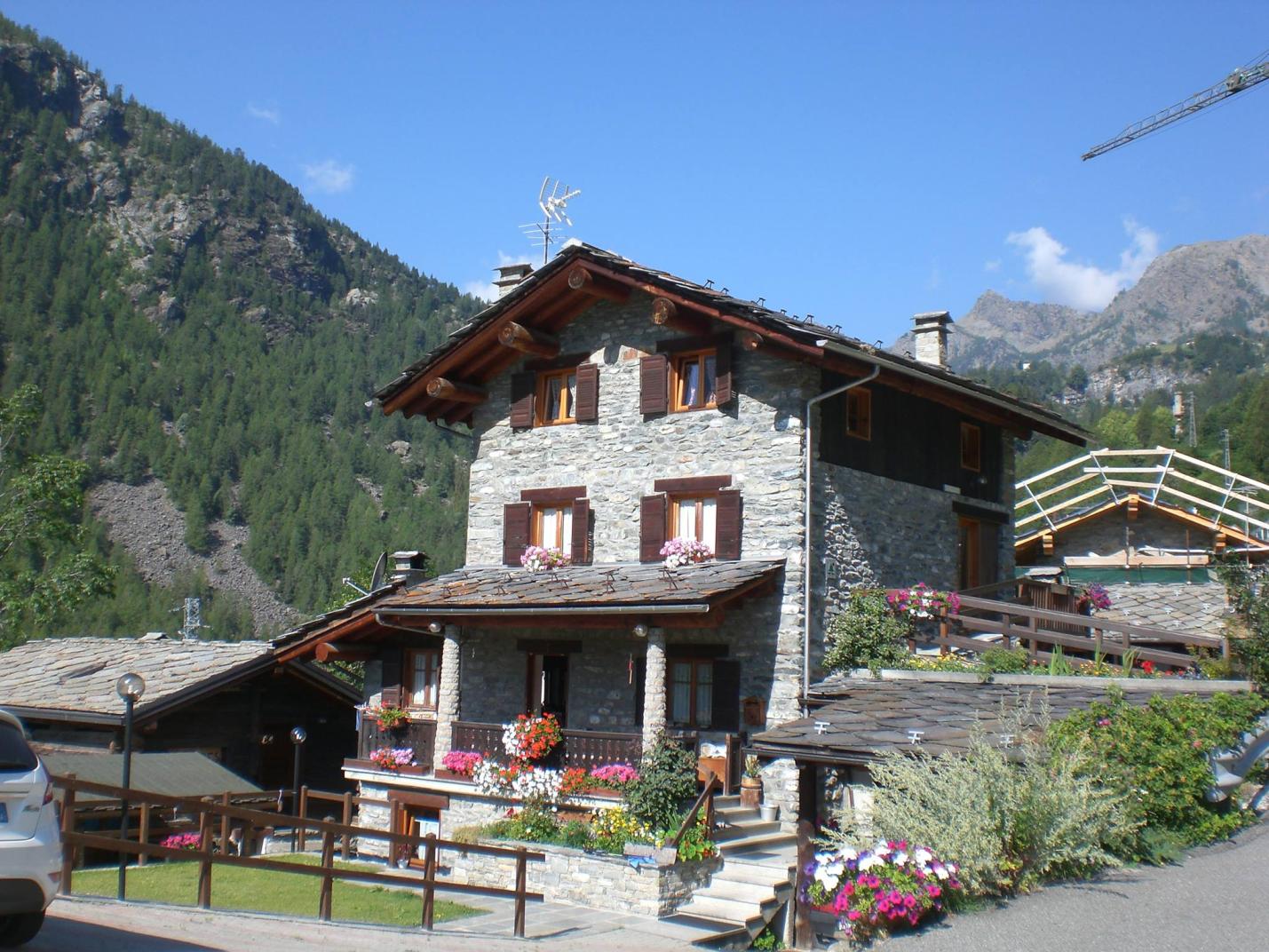
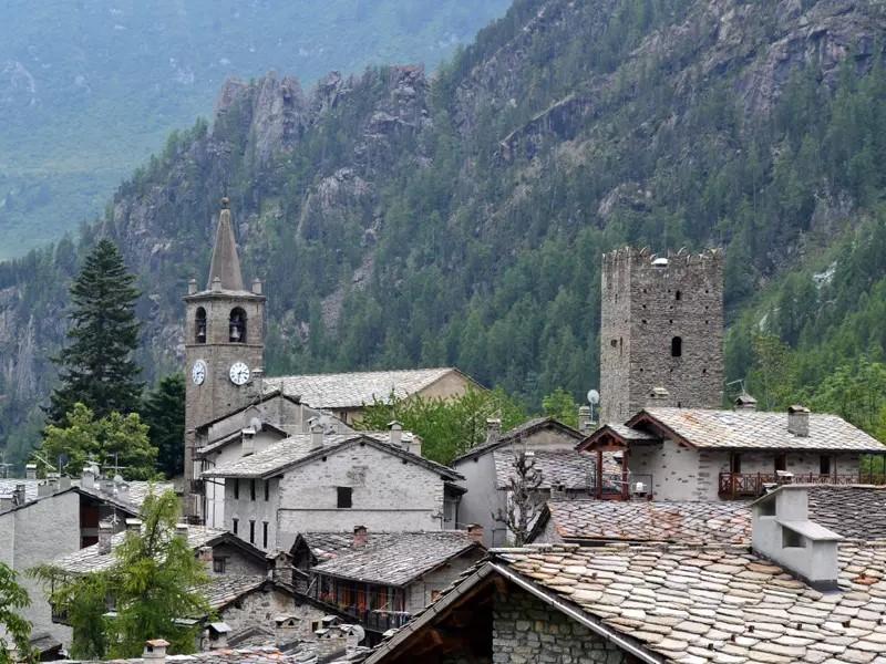
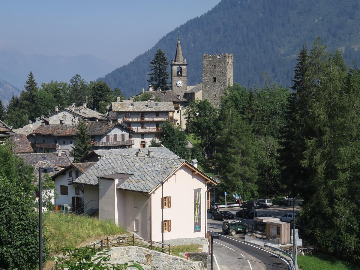
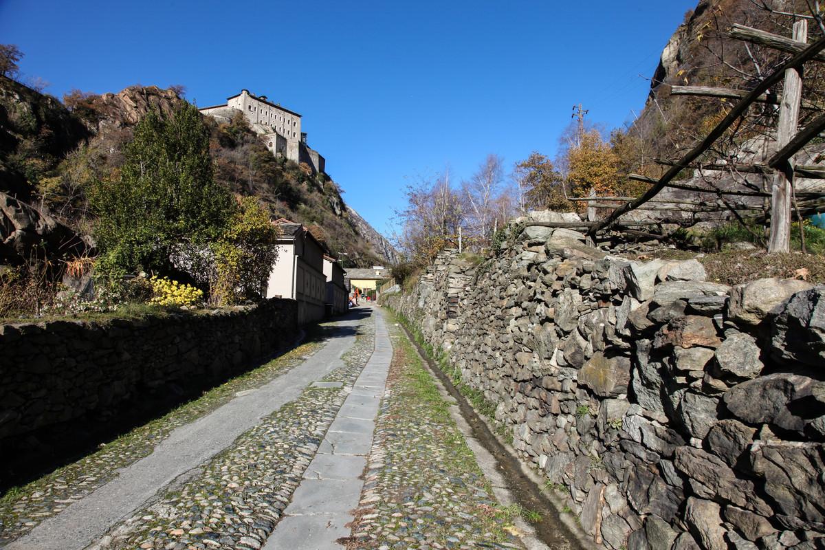
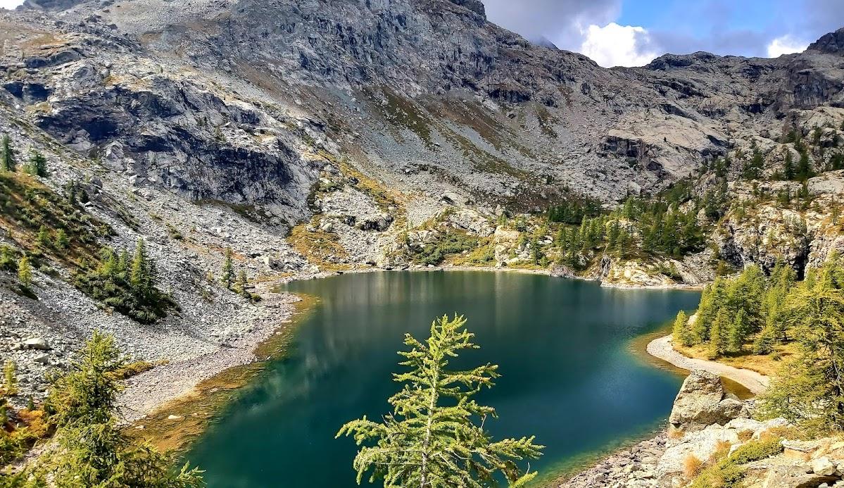
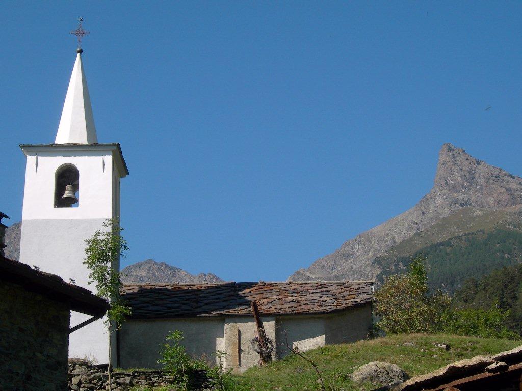
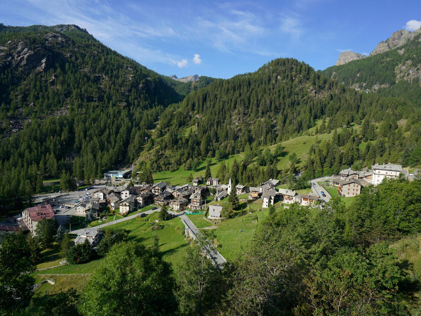
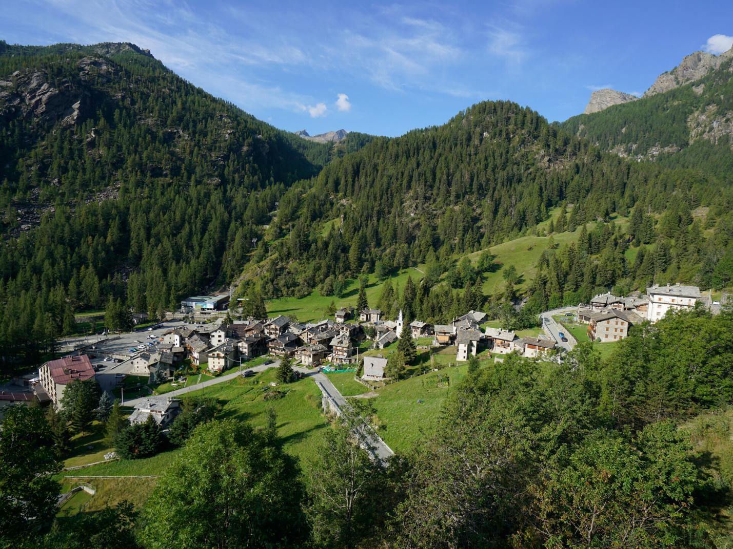
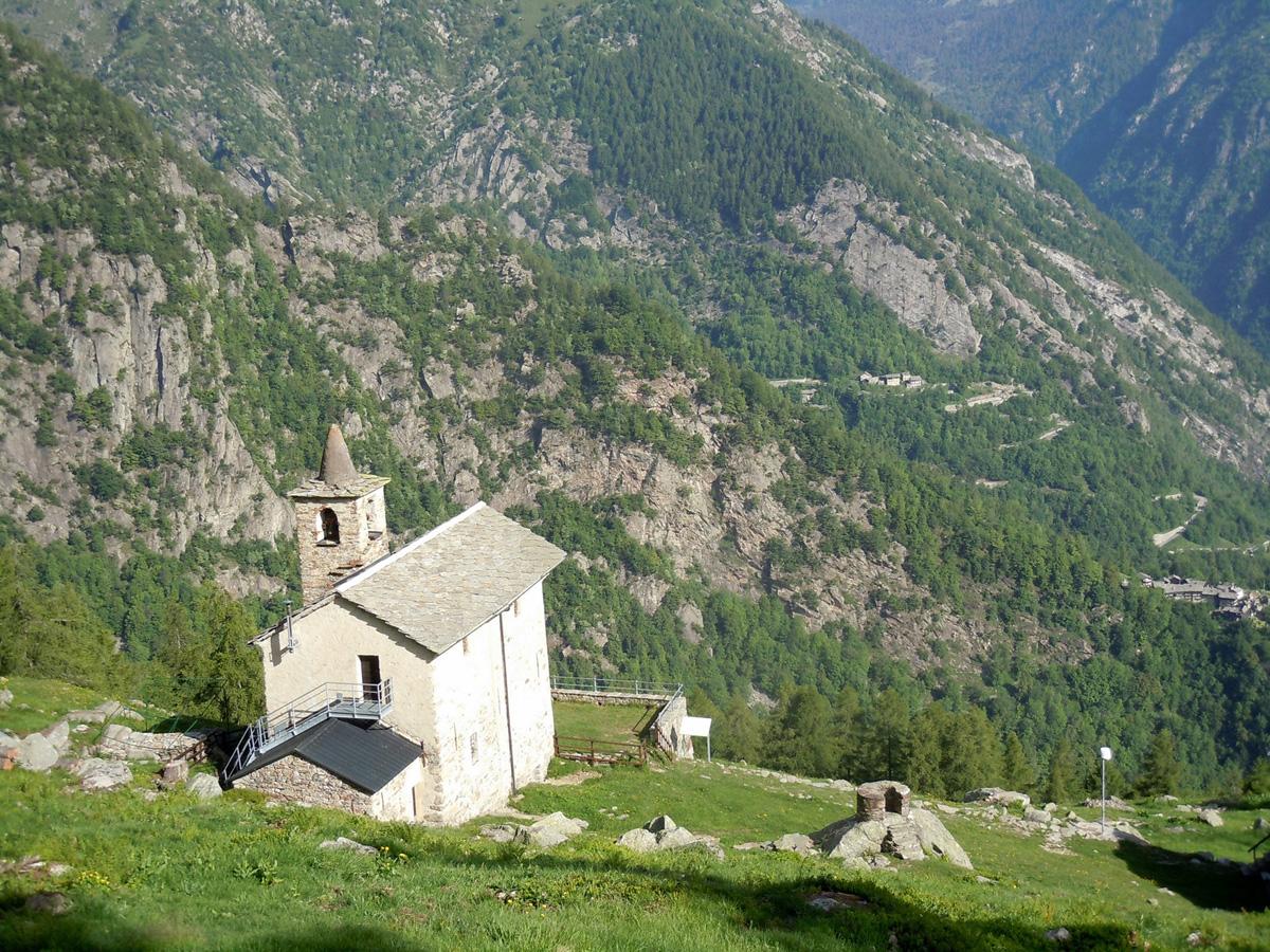
This easy loop trail will lead you to discover magnificent hamlets, such as the historic center of Château/Castello, while also allowing you to savor the wild nature of this valley. In fact, this hike between history and nature will reveal the incredible Goilli di Pourtset, a dizzying gorge located below the village of Château. After leaving your car at the Mellier parking lot, the ascent follows trail no. 12C, an old mule track through the woods that the residents of Mellier used to reach Château, the main historic center of the municipality of Champorcher. From the Mellier parking lot, walk 350 meters along the paved road towards the old chapel of Santa Maria Maddalena di Vigneroisa and find the start of the mule track to the left of the chapel. The mule track, although partially interrupted by the regional road, retains most of its original form. Once you reach the villa shaped like a castle, follow the regional road to the village of Château. It is recommended to visit the hamlet, characterized by a charming center with some rascards, the old tower of the now-vanished medieval castle, dating back to the 11th or 12th century, and the parish church of San Nicola. After visiting the village, consider stopping at one of the local spots for a break and then visiting the Mont Avic Nature Park visitor center. Then, continue along the regional road, and after 320 meters from the park visitor center, turn left and cross the Ayasse stream, with its crystal-clear waters (moving to the right side of the stream). Turn left again, passing to the right of Villa Franchini until you reach the houses that make up the hamlet of Vignat. Descend on the path that runs alongside the pastures. Upon reaching a junction (at about 1385 m a.s.l.), take the left path (avoid the path on the right). Then visit the upper area of the Goilli di Pourtset, exploring both the area of the old power station and the belvedere (both are detours from the main trail for about 100 meters round trip). The Goilli di Pourtset gorge is not particularly visible unless you take this hike. The chasm is about 90 meters deep near the tower, making it a unique and interesting environment from a naturalistic, geological, and sporting point of view, as it is a challenging canyoning route. The water cascades down steeply, creating a suggestive atmosphere, overlooked by the scenic Château rock with its tower. After visiting the upper area of the Goilli di Pourtset, descend on the path towards Outre l’Ève. About halfway down, find the side trail that, in about a hundred meters, leads to the lower belvedere of the Goilli di Pourtset, offering a breathtaking view over the Ayasse stream. The genesis of the gorge is geologically complex. During the glaciations, the area between Chardonnay and Château likely served as a glacial threshold, while downstream, no trace of the glacier seems to remain, except for high terraces on the right side. The gorge probably formed as the stream passed from the upper threshold (with serpentinite) to the valley floor (with calcareous schists), progressively eroding the latter.
Once you’ve admired the gorge, descend to the Outre l’Ève area, passing through tall woods and near the calmer waters of the Ayasse stream. Then, turn left onto the paved road that crosses the Ayasse stream and passes near the Moulin area. After about a hundred meters, find the path that climbs to Mellier, crossing various pastures and the hamlets of Verana and Loré. Technical notes: Suitable for families.
