Ayas and Gressoney lifts and slopes open - Alagna side closed.
Check the lifts and slopes open until 21st April


Click here to check the operating hours of the Champoluc-Crest cable car

Ski mountaineering tracks: check here the status of the openings (tracks in green)

Valle di Champorcher

Champorcher

Tête du Mont

By: Visit Champorcher

Route category: Trekking

Duration: 4 hours 30 minutes

Length: 5800 m

Difficulty: High

tete du mont

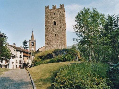
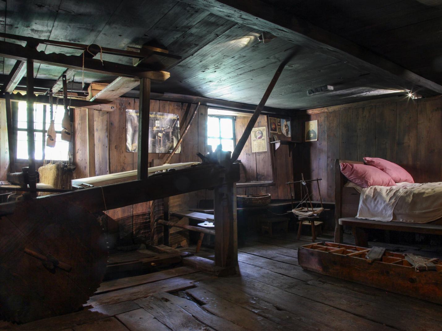
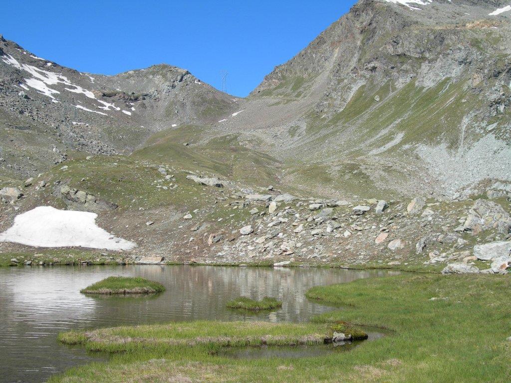
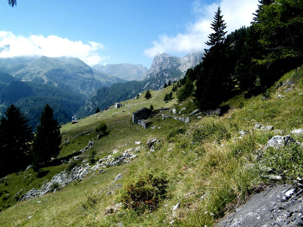
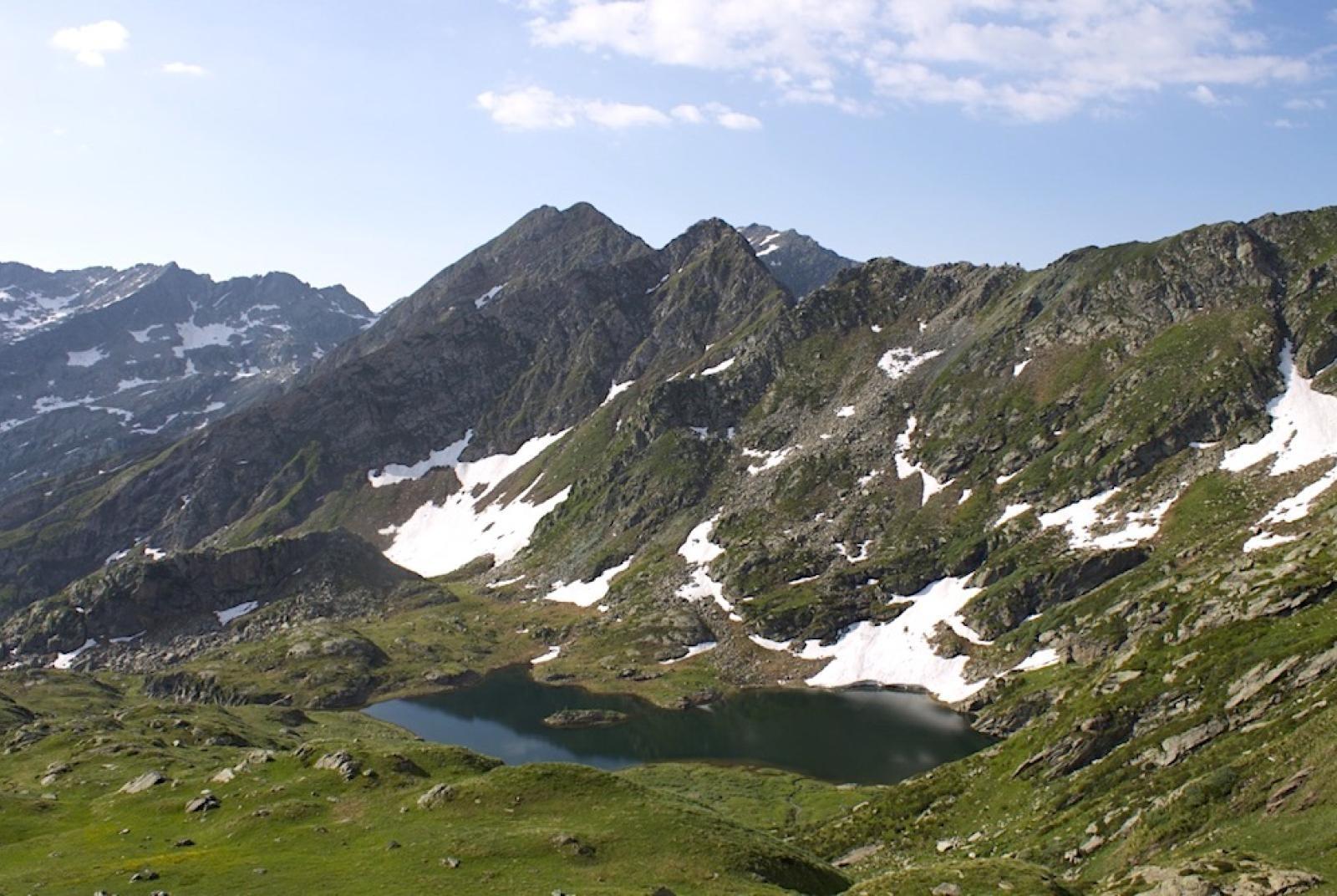
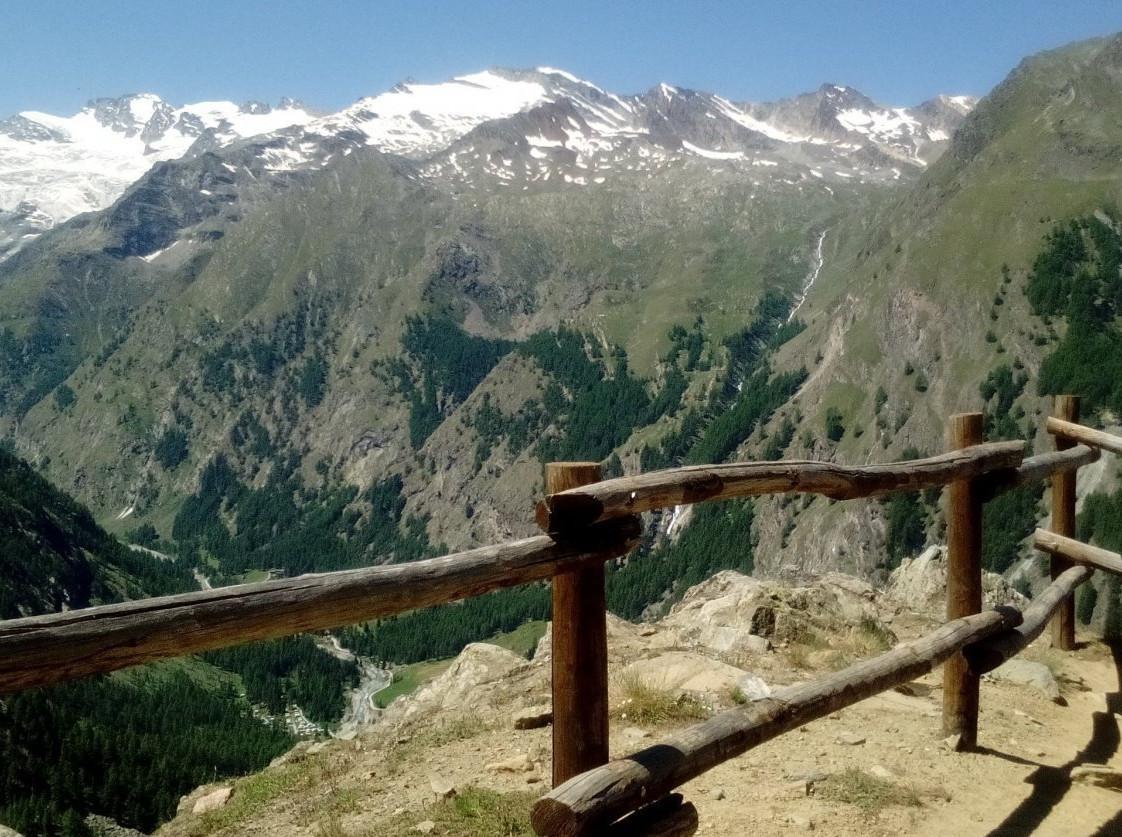
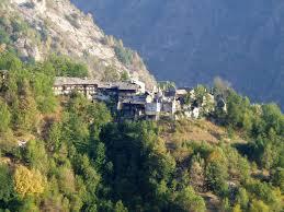
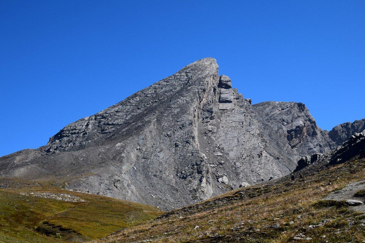
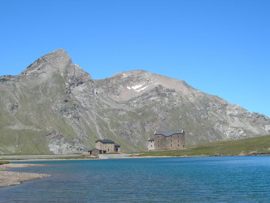
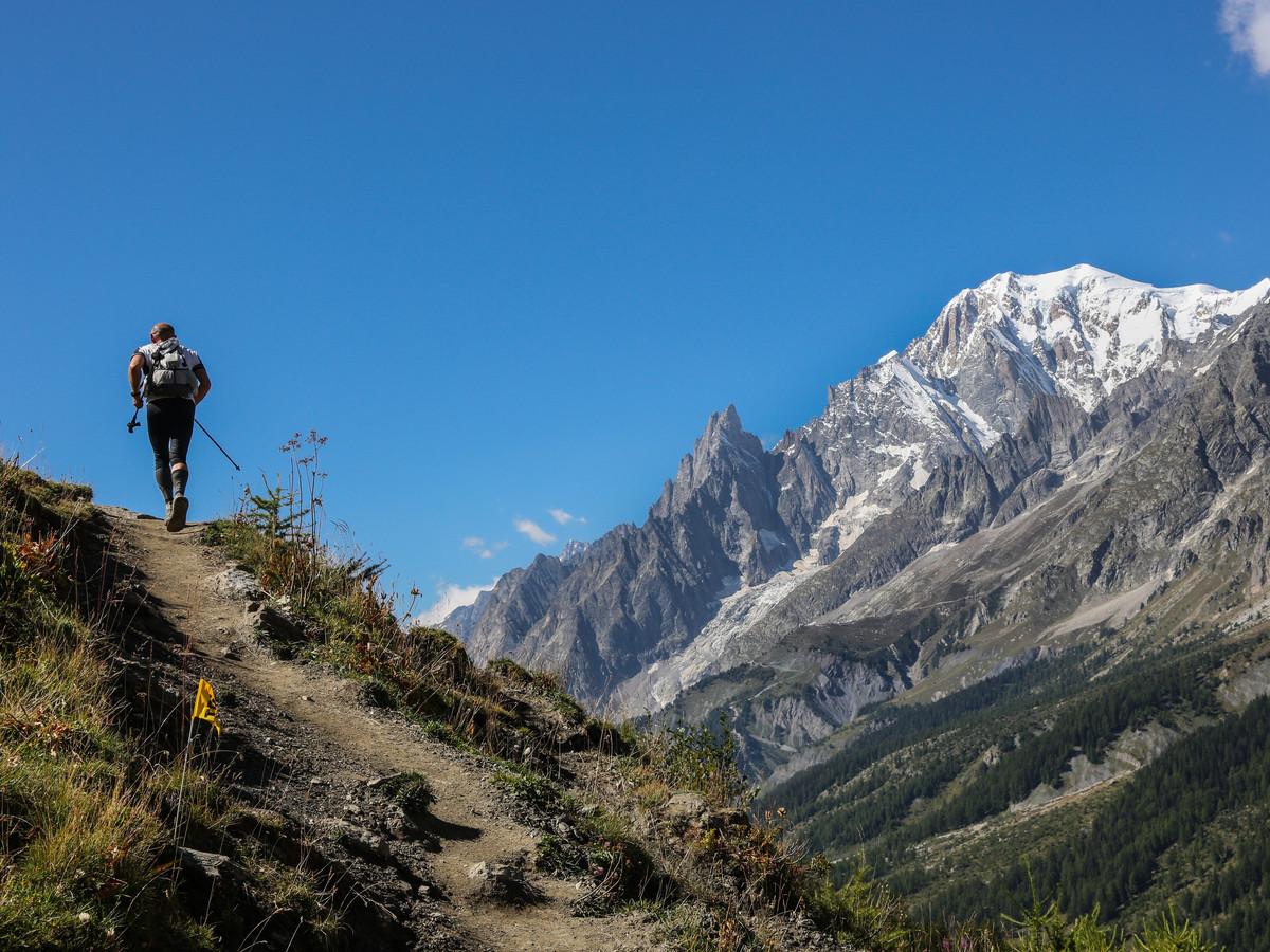
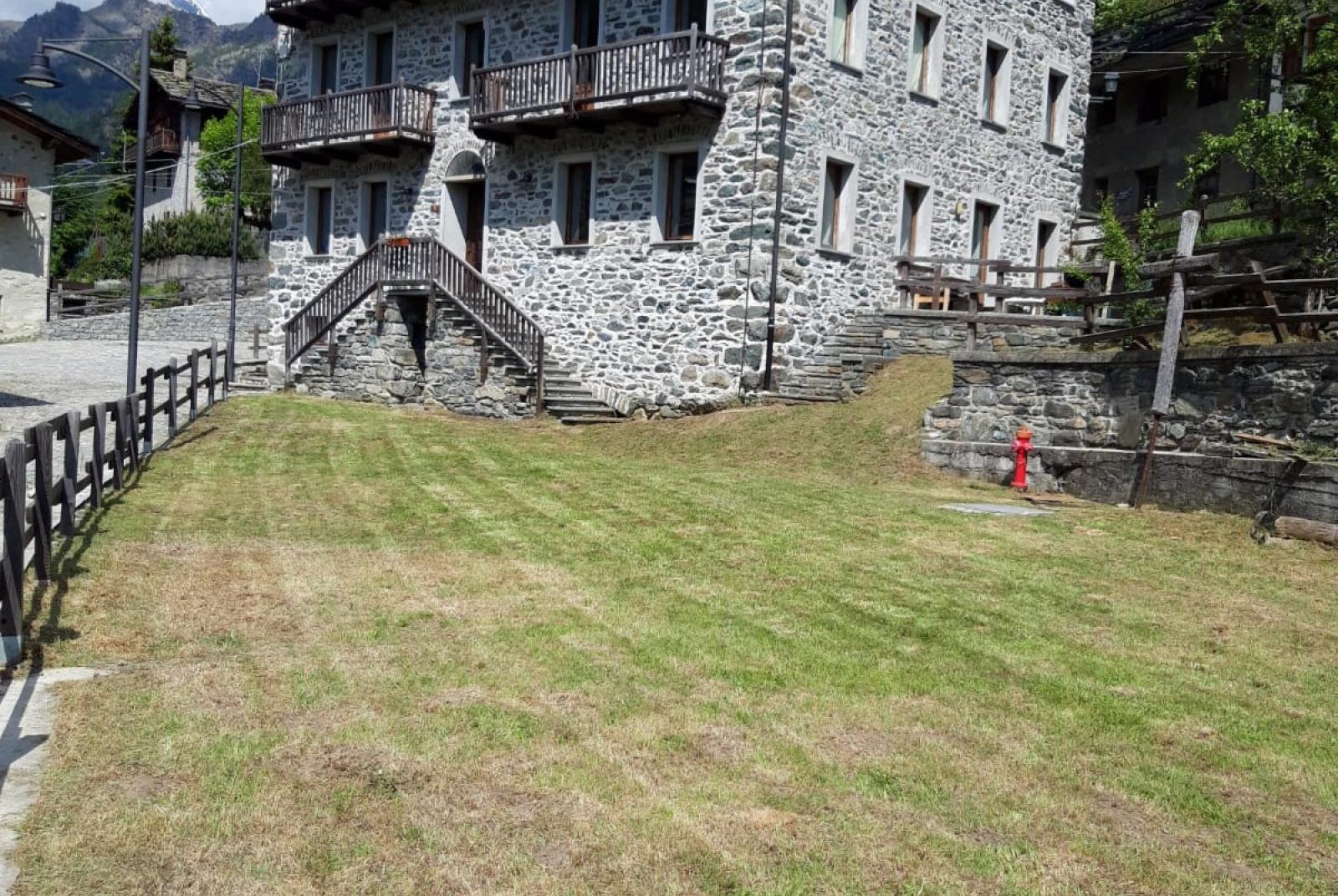
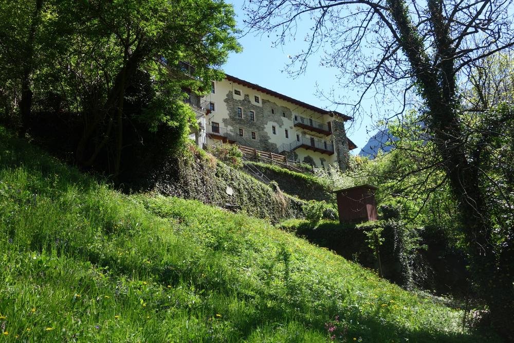
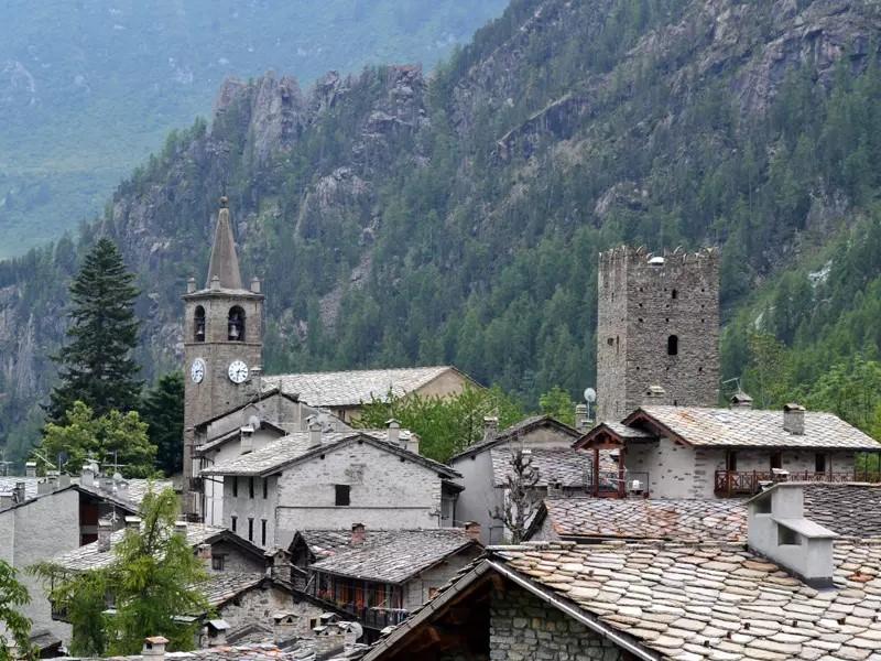
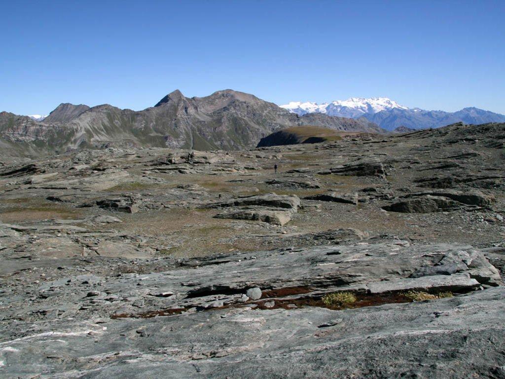
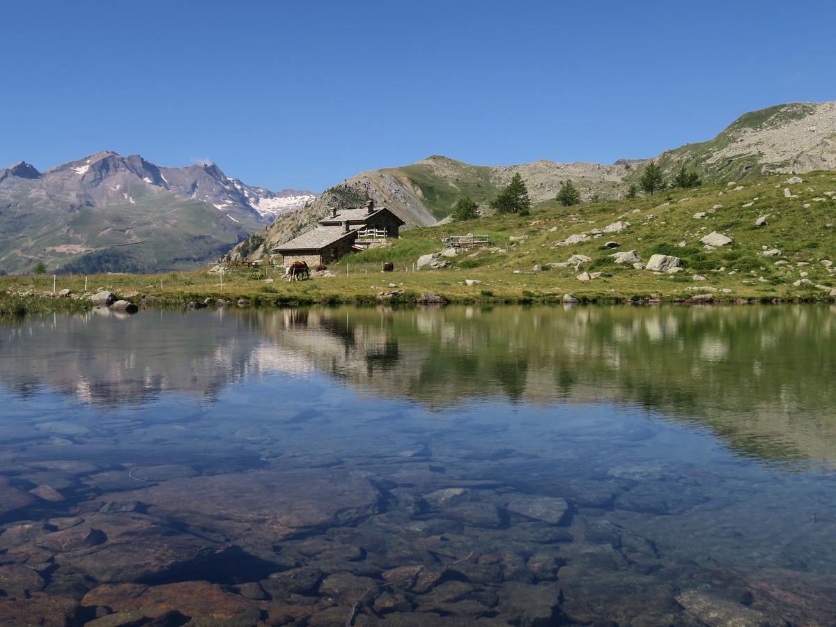
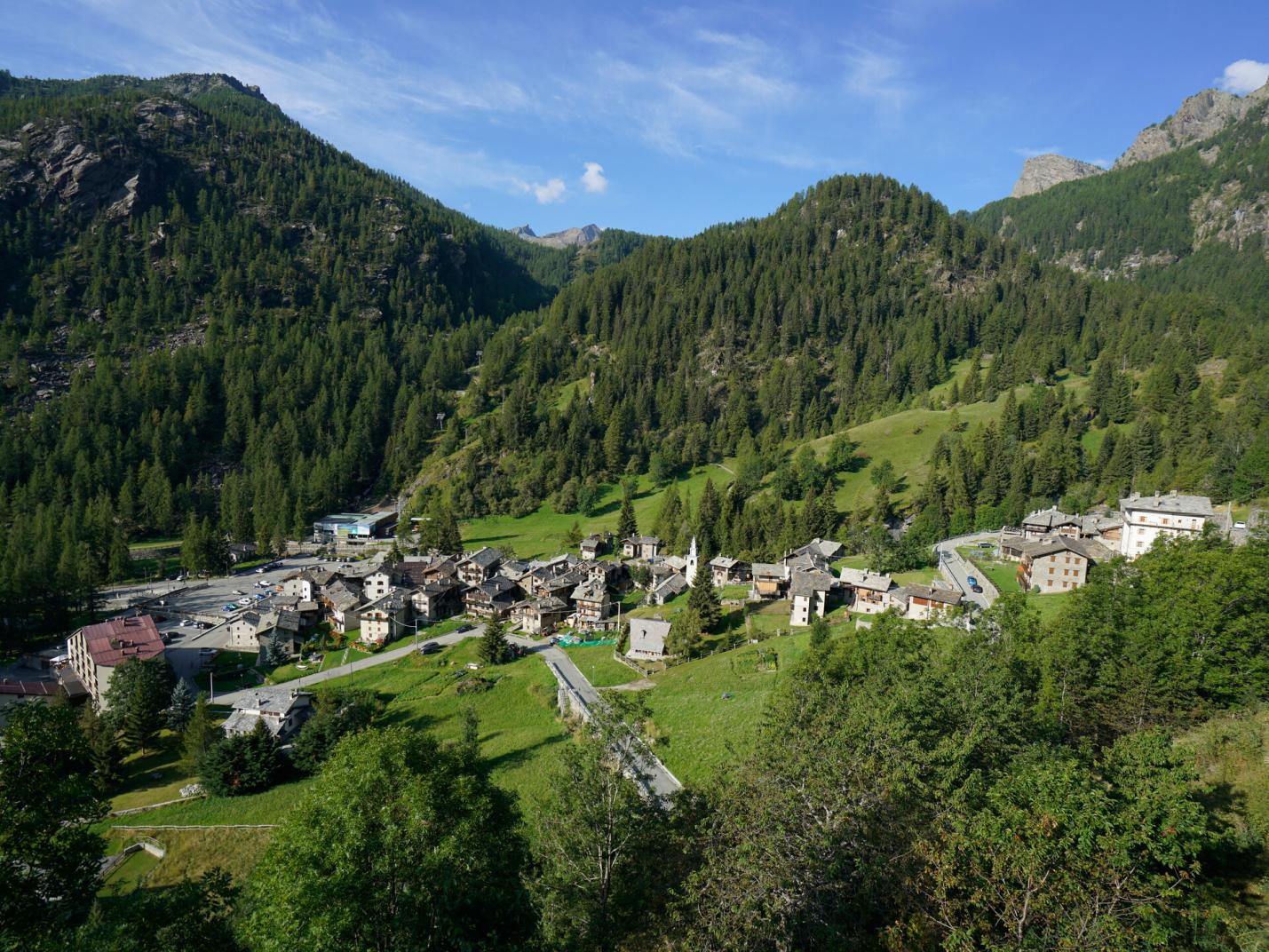
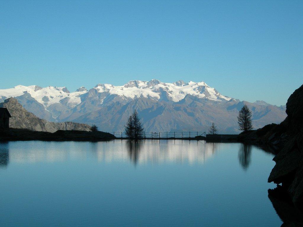
This exciting loop between the municipalities of Pontboset and Champorcher allows you to explore the lower Champorcher Valley, visiting historically significant sites such as the village of Barmelle, the Santuario di Sant’Anna, and the small hamlet of Grand Rosier. Barmelle is a small, now-uninhabited rural village carved into the only clearing on the steep, dizzying slope of the Tête du Mont. Its extremely inhospitable location likely made it one of the most daringly situated settlements in the entire Aosta Valley. Barmelle, whose name derives from "barme" (shelter under a rock), was based on a very poor economy reliant on rye, potatoes, and a few animals, all cultivated on the steep terraces carved from the rocks. Initially, this village was inhabited by the Savin family, and then from 1874 by the Perruchon family. Moreover, the loop is highly interesting from both a naturalistic and landscape perspective as it traverses forests, clearings, and alpine pastures, offering a remarkable panoramic view from the summit of Tête du Mont. From here, you can enjoy an exceptional panorama of the entire Champorcher Valley, the Matterhorn massif, and to its right, the Monte Rosa massif.

First Section: Dublanc – Tête du Mont (trail no. 14B – 1B)
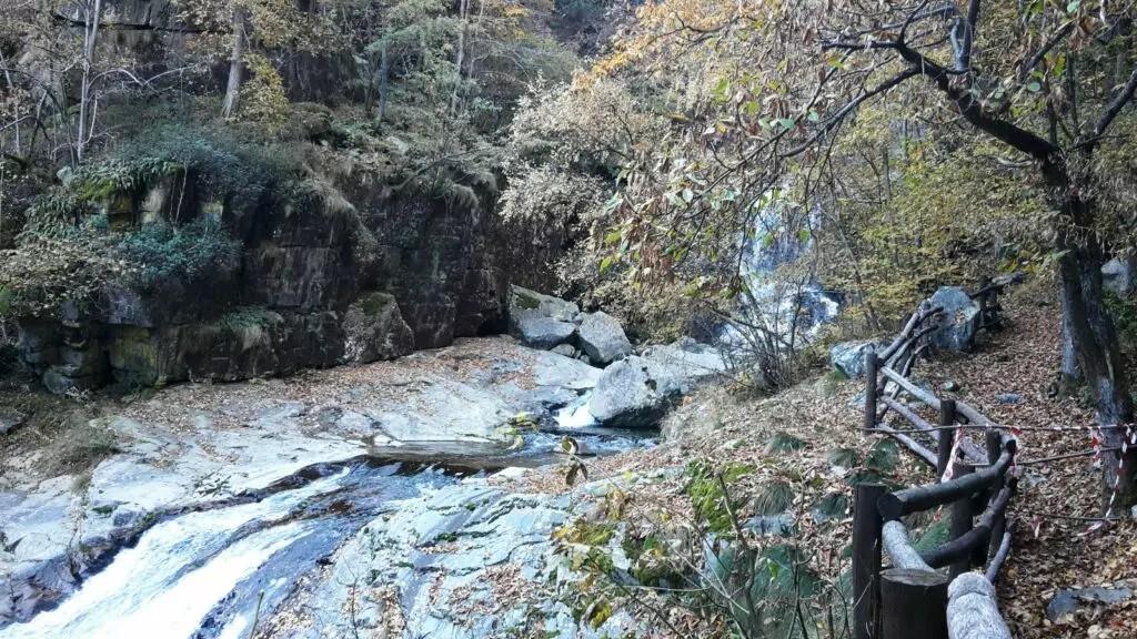
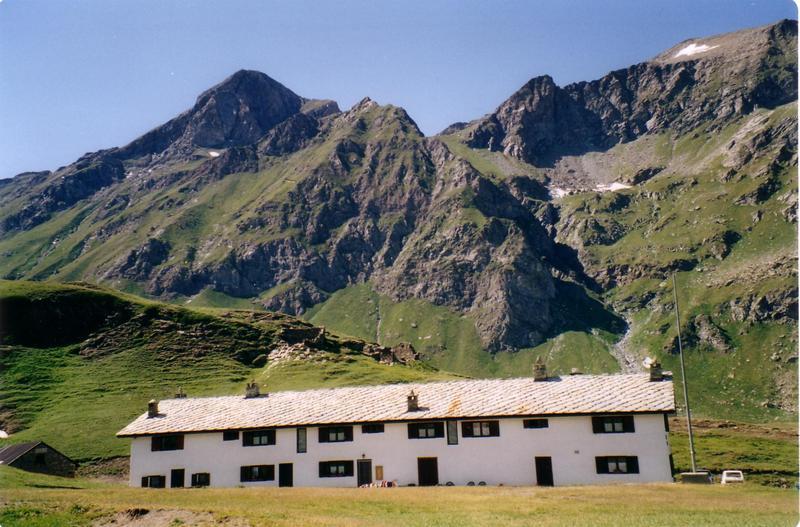
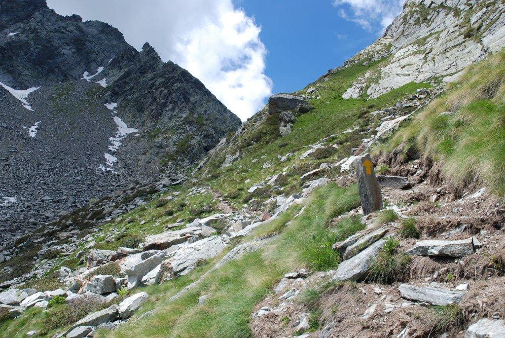
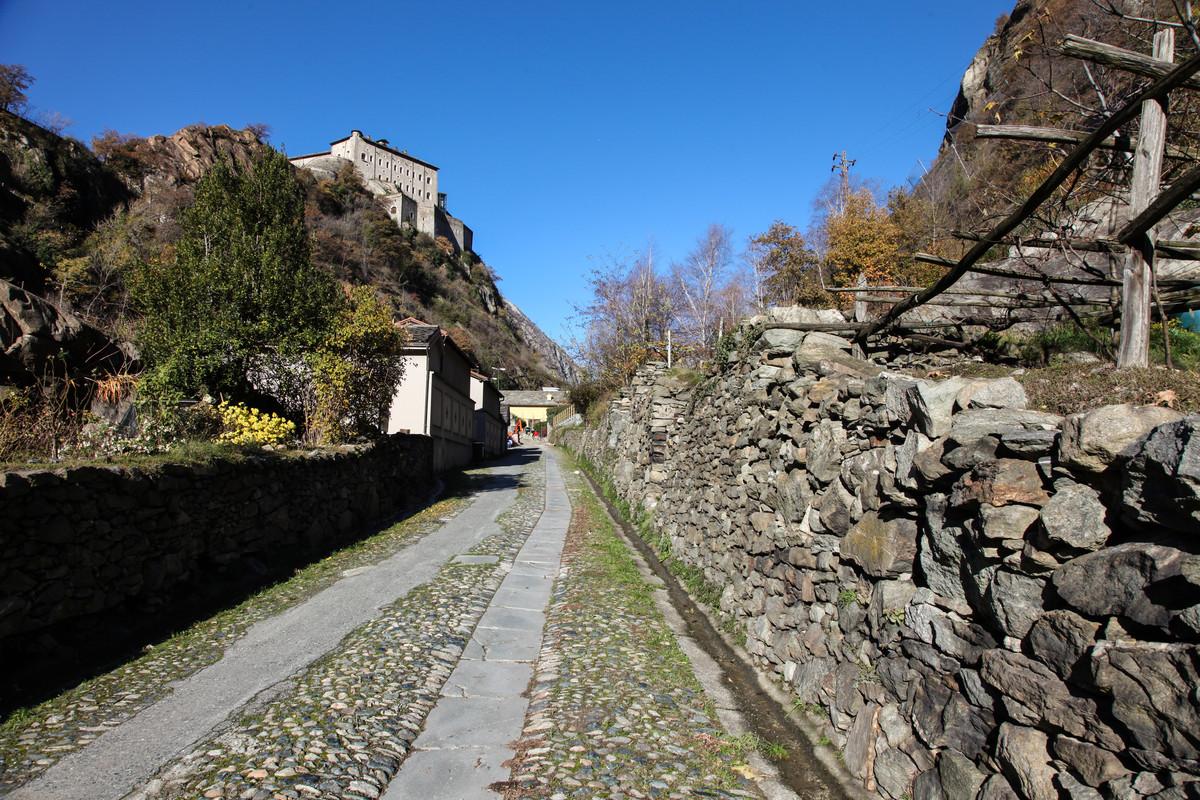
After leaving the car, take the first steps along the paved road leading to Villa Franchini. Find trail no. 14B which starts to the left of Villa Franchini. The mule track crosses a stream and ascends the steep slope through a zone of terraces among cherry and ash trees. The mule track becomes increasingly vertical, supported by ingeniously built stone walls on the rock face. Rocky steps alternate with ledges and narrow switchbacks, where the trail maintains its mule track form. After this spectacular and airy section, the mule track bends right through a patch of forest and emerges among the scanty terraces below Barmelle (1563 m a.s.l.), where you can admire an old stone spring. Then, within a few minutes, you will reach the village of Barmelle, where it is recommended to stop at the viewpoint to the right of the chapel, which is dated 1863. Find the trail leading from the village, looking uphill, which slightly ascends to the left through old pastures and then enters the forest. Climb the steep trail with many switchbacks through the forest and scree until you reach the ridge/crest (to the right of Tête du Mont). From here, head left into the forest (passing the northern side of the mountain) and find, after about 200 meters of development, the steep trail leading to the Tête du Mont (1896 m a.s.l.). It is recommended to take a break and enjoy the view.

Second Section: Tête du Mont – Grand Rosier – Dublanc (trail no. 1B - 14 - 14D)
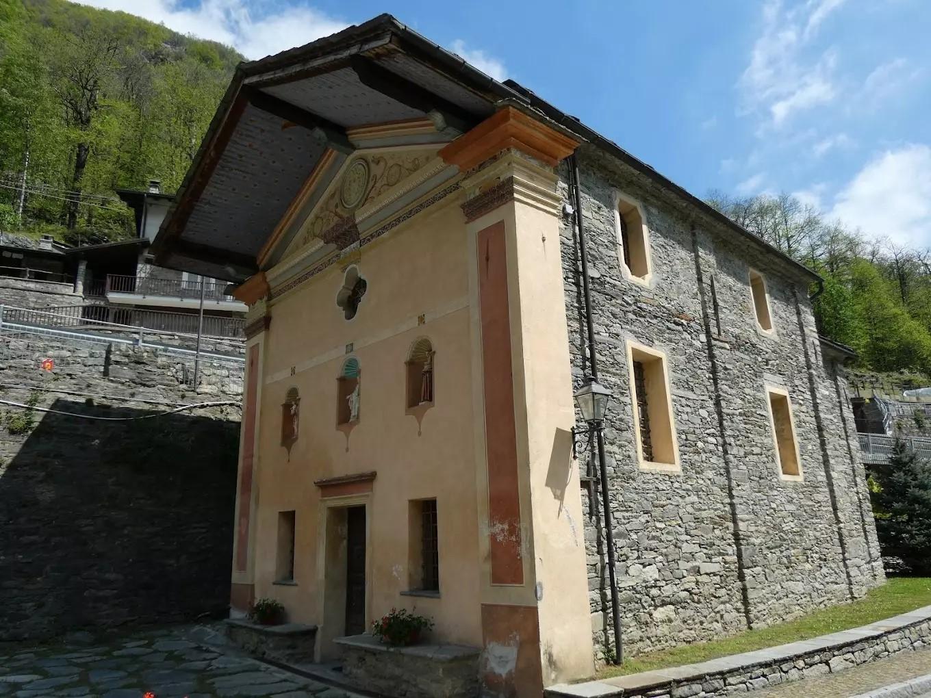
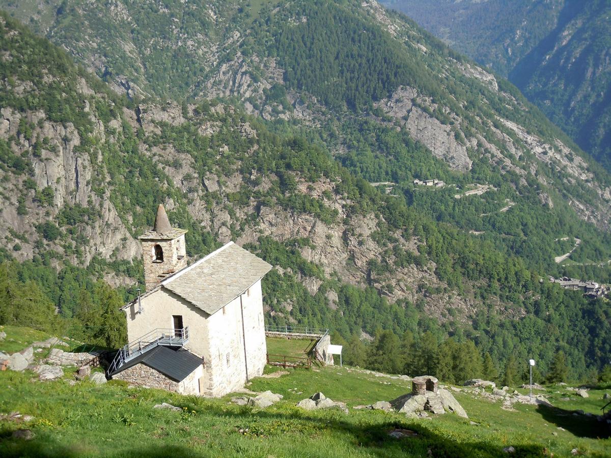
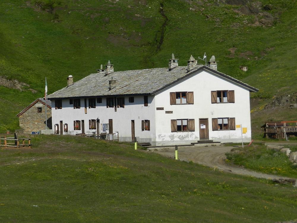
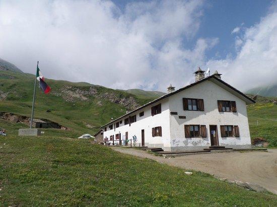
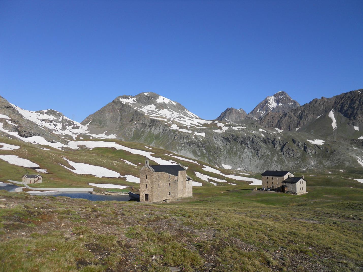
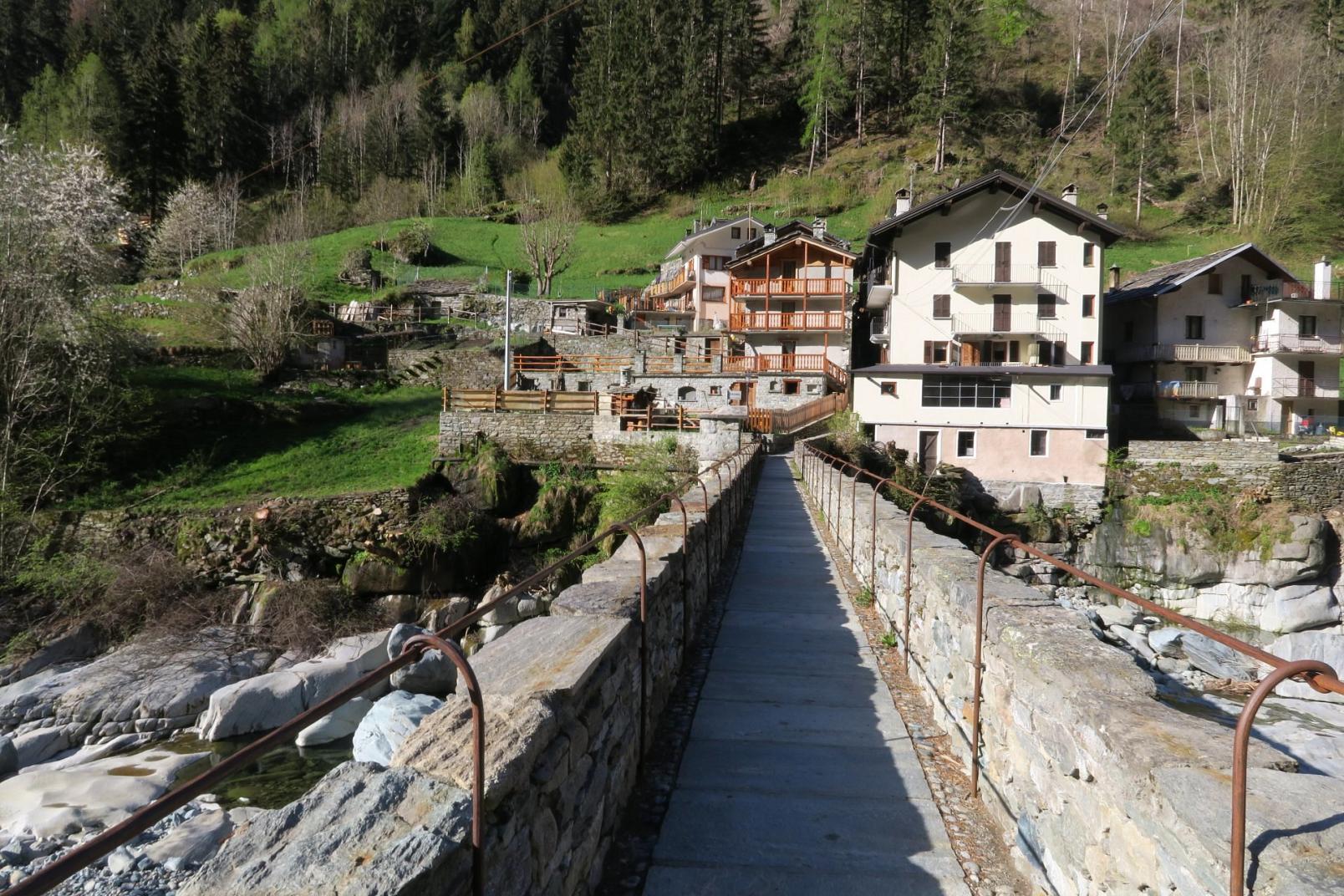
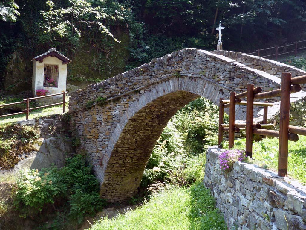
Retrace the trail you used to reach the summit and arrive at the main trail. Then follow trail no. 1B west to the Col di Plan-Fenêtre, which traverses (sometimes steeply) the northern slope in dense forest (be careful to avoid the trail that turns right at 1730 m a.s.l.). Once at the Col di Plan-Fenêtre (about 1695 m a.s.l.), it is advisable to take a short 5-minute round-trip detour to visit the Santuario di Sant’Anna (by following trail no. 14A for a hundred meters west). After visiting the sanctuary area, return to the pass and find the trail descending towards Grand Rosier (Champorcher), crossing a forest and a pasture. Visit the charming hamlet and find the starting point of trail no. 14D, located in the upper part of Grand Rosier. The trail does not cross the hamlet but runs alongside it (to the left going down) and resumes its mule track form, passing through various pastures and reaching near a large pillar. Then find the trail that will lead you back to Dublanc, descending with several switchbacks on the steep slope between woods and clearings. Once at the regional road, return to the parking area by walking a few hundred meters along the road.

Notes: This is a medium-difficulty loop not suitable for families with children. The mule track to reach Barmelle and Tête du Mont, while equipped and quite wide, requires hiking experience appropriate to the type of terrain.

Variants:

  • Tête du Mont (with ascent and descent from Dublanc, passing through Barmelle)
    Trail: 14B – 1B
    Elevation Gain: 900 m
    Distance: 3.1 km (one way)
    Ascent Time: 2h30 – 3h
    Descent Time: 1h30 approx.
    Difficulty: Easy
  • Tête du Mont (with ascent and descent from Grand Rosier)
    Trails: 1B - 14
    Elevation Gain: 515 m
    Distance: 2.1 km (one way)
    Ascent Time: 1h30 – 2h
    Descent Time: 1h approx.
    Difficulty: Easy


Note: Giro ad anello di difficoltà media, non adatto a famiglie con bambini. Il sentiero/mulattiera per salire a Barmelle e alla Tête du Mont, pur essendo attrezzato e abbastanza largo, richiede un’esperienza escursionistica adeguata al tipo di terreno.


Varianti:

  • Tête du Mont (con salita e discesa da Dublanc, passando per Barmelle)

Segnavia : 14B – 1B

Dislivello : 900 m

Sviluppo : 3,1 km (solo andata)

Tempo di andata: 2h30-3h

Tempo di ritorno: 1h30 circa

Difficoltà E


  • Tête du Mont (con salita e discesa da Grand Rosier)

Segnavia : 1B - 14

Dislivello : 515 m

Sviluppo : 2,1 km (solo andata)

Tempo di andata: 1h30-2h

Tempo di ritorno: 1 h circa

Difficoltà E

Details of the tour

Properties

Typology: Trekking

Difficulty: High

Ascent: 900 m

Duration: 4 hours 30 minutes

Distance: 5800 m

Where

Start point
Dublanc 1110 m s.l.m.

Get me there

Mobility

leave the car in the lay-by near the regional road, near Villa Franchini, or in the hamlet of Salleret near the Chapel of San Giovanni

Destination
Dublanc 1110 m s.l.m.

Find nearby

Champorcher

2.56km

Valle di Champorcher

Culture

Medieval tower and parish church

Champorcher, 11020 Champorcher AO

Cappella del gom

2.99km

Valle di Champorcher

Culture

Chapel of Gom

Cappella del Gom, 11020 Pont-Bozet AO

Ecomuseo della Canapa

3.60km

Valle di Champorcher

Culture

Hemp eco-museum

Località Chardonney , 11020 Champorcher AO

Santuario del Miserin

10.55km

Valle di Champorcher

Culture

Miserin Lake Virgin Mary

Miserin, 11020 Champorcher AO

Champorcher

Trekking

0.03km

Valle di Champorcher

Active

Grand Tour of the Lower Champorcher Valley

Duration: 10 hours

Length: 14500 m

Difficulty: High

Grand Rosier

Walk

0.55km

Valle di Champorcher

Active

Sant’Anna

Pontboset

Walk

0.55km

Valle di Champorcher

Active

Anello Sant’Anna Pousseil

Grand Rosier

Walk

0.62km

Valle di Champorcher

Active

Tete du Mont

Arcomy

Trekking

0.83km

Valle di Champorcher

Active

Col Arcomy and Col Possauel

Duration: 3 hours 30 minutes

Length: 6500 m

Difficulty: Medium

Lago Chilet

Trekking

1.35km

Valle di Champorcher

Active

Lake Chilet

Duration: 3 hours 45 minutes

Length: 7000 m

Difficulty: Medium

Val dell’Alleigne

Trekking

1.37km

Valle di Champorcher

Active

Alleigne Valley Giavin

Outre l'eve

Walk

1.37km

Valle di Champorcher

Active

Outrelève – Troumé

Col Fricolla

Trekking

1.38km

Valle di Champorcher

Active

Colle della Fricolla and Lake Cornouy

Duration: 10 hours

Length: 16000 m

Difficulty: High

Val Alleigne

Alpinism

1.38km

Valle di Champorcher

Adrenaline

Punta Vorrea

Frassiney

Walk

1.38km

Valle di Champorcher

Active

Anello Frassiney – Outrelève

Zuc

Walk

2.54km

Valle di Champorcher

Active

Zuc

Ayasse

Walk

2.54km

Valle di Champorcher

Active

Champorcher Pineta

Lago vercoche

Walk

2.55km

Valle di Champorcher

Active

Champorcher – Vercoche < 2h

Champorcher

Walk

2.56km

Valle di Champorcher

Active

Ourty

Punta Zuc

Trekking

2.56km

Valle di Champorcher

Active

Punta dello Zuc

Duration: 3 hours

Length: 6000 m

Difficulty: Medium

Alpinismo

Alpinism

2.56km

Valle di Champorcher

Adrenaline

Mousaillon

Lago Miserin

Alpinism

2.57km

Valle di Champorcher

Adrenaline

Costazza

Frassiney

Walk

2.58km

Valle di Champorcher

Active

Frassiney – La Bourney

Tour

Trekking

2.58km

Valle di Champorcher

Active

Tor des Géants – 4k Trail

Length: 25000 m

Difficulty: High

Happy Trekking Monterosa

22.53km

Active

Happy Trekking in Gressoney

Promotion valid from June 1 to September 15

Villa Deslex, 11025 Gressoney-Saint-Jean AO

Birrificio

2.55km

Valle di Champorcher

Food

Birrificio Champorcher

Champorcher, 11020 Champorcher AO

2.56km

Valle di Champorcher

In town

BUTCHER’S SHOP DE ROSSO ISIDORO

loc. Chateau 9, 11020 Champorcher AO

Champorcher Pharmacy

2.66km

Valle di Champorcher

Wellness

CHAMPORCHER PHARMACY

Frazione Vignat n° 24, 11020 champorcher AO

Trottola

3.64km

Valle di Champorcher

Culture

La Trottola Champorcher

Frazione Chardonney 120 B, 11020 Champorcher AO

Minimarket Gabry Champorcher

3.64km

Valle di Champorcher

In town

MINIMARKET GABRY

Frazione Chardonney, 120, 11020 champorcher AO

Negozio

22.53km

Valle di Champorcher

Wellness

AZIENDA AGRICOLA MONTIFLOR L’ERBA DEL VICINO

FRAZIONE Chardoney, 38, 11020 Champorcher AO

Le Moulin Des Aravis

0.86km

Valle di Champorcher

RESTAURANT LE MOULIN DES ARAVIS

Frazione Savin, 55, 11020 Pontboset AO

Restaurant mellier

1.31km

Valle di Champorcher

RESTAURANT BAR MELLIER

frazione mellier 85, 11020 CHAMPORCHER AO

le relais des reines

1.66km

Valle di Champorcher

RESTAURANT LE RELAIS DES REINES

Frazione Vigneroisa, 8, 11020 Champorcher AO

Restaurant Chez Isabel

2.85km

Valle di Champorcher

RESTAURANT CHEZ ISABEL

Loc. Pont Bozet 96, 11020 Pontboset AO

Bar

2.99km

Valle di Champorcher

Bar Le Foyer du Fond Champorcher

località Le Vignat 18, 11020 Champorcher AO

3.64km

Valle di Champorcher

Bistrot De l’Abbe

Frazione Chardonney 120/A, 11020 Champorcher AO

Ski man – bar restaurant

3.71km

Valle di Champorcher

Ski man – bar restaurant

Loc. Chardonney 88, 11020 Champorcher AO

Bar ristoro lago muffe

4.23km

Valle di Champorcher

BAR RISTORO LAGO MUFFE’

Lago Muffe, 11020 champorcher AO

0.50km

Valle di Champorcher

B&B LA BORMA DI POMBO

loc Barmacrepa 4, 11020 Pontboset AO

Le Moulin Des Aravis

0.81km

Valle di Champorcher

LE MOULIN DES ARAVIS

loc. Savin 55, 11020 Pontboset AO

AGRITURISMO LE MOULIN DES ARAVIS

0.88km

Valle di Champorcher

AGRITURISMO LE MOULIN DES ARAVIS

frazione Savin, n. 55, PONTBOSET AO

Book now

Hotel restaurant Beausejour

1.47km

Valle di Champorcher

Hotel restaurant Beausejour

Frazione Lore' 1, 11020 Champorcher AO

Casa Verana

1.48km

Valle di Champorcher

CASA VERANA

fraz. Verana 33, 11020 Champorcher AO

1.49km

Valle di Champorcher

B&B LA BRENVA

Fraz Verana 49, 11020 Champorcher AO

Relais des reines

1.65km

Valle di Champorcher

FARMHOUSE LE RELAIS DES REINES

Frazione Vigneroisa, 8, 11020 Champorcher AO

Li Tzatagni

2.21km

Valle di Champorcher

LI TZATAGNI

fraz La Chateigne, 11020 Pontboset AO

CHAMBRES D'HOTES LI TZATAGNI

2.23km

Valle di Champorcher

CHAMBRES D'HOTES LI TZATAGNI

fraz. Chateigne, PONTBOSET AO

Book now

2.55km

Valle di Champorcher

HOTEL CASTELLO

Località Castello, 53, 11020 Champorcher AO

ALBERGO CASTELLO DA BONINO

2.58km

Valle di Champorcher

ALBERGO CASTELLO DA BONINO

Loc.Castello, 53, CHAMPORCHER AO

Book now

HOTEL CHEZ ISABEL

2.85km

Valle di Champorcher

HOTEL CHEZ ISABEL

Fraz. Pont-Bozet, 95, PONTBOSET AO

Book now

Hotel ristorante Chez Isabel

2.86km

Valle di Champorcher

HOTEL CHEZ ISABEL

Loc. Pont Bozet 96, 11020 Pontboset AO

Ostello La Cresta del Lupo

3.06km

Valle di Champorcher

Ostello La Cresta del Lupo

loc. Pont-Bozet, 31, 11020 Pontboset AO

3.60km

Valle di Champorcher

HOTEL PETIT PARADIS

fraz. Chardonney, 11020 Champorcher AO

Maison Nicole

3.67km

Valle di Champorcher

Maison Nicole

fraz. Chardonney 94, 11020 Champorcher AO

Revivre Village

3.80km

Valle di Champorcher

REVIVRE VILLAGE | Adults Only

Frazione Ronchas 11, 11020 Champorcher AO

REVIVRE VILLAGE

3.80km

Valle di Champorcher

REVIVRE VILLAGE

Fraz. Ronchas 11, CHAMPORCHER AO

Book now

Rifugio barbustel

5.98km

Valle di Champorcher

Rifugio Barbustel

Località Lago Bianco, 11020 Champdepraz AO

OSTELLO CASA CIUCA

7.16km

Valle di Champorcher

OSTELLO CASA CIUCA

via vittorio emanuele II, 24 , BARD AO

Book now

On the same topic

Borney

Trekking

Valle di Champorcher

Active

Borney and Trome

Duration: 4 hours

Length: 8600 m

Difficulty: Medium

Lago vercoche

Trekking

Valle di Champorcher

Active

Col Laris and lake Vercoche

Duration: 3 hours 45 minutes

Length: 9000 m

Difficulty: High

Lago vercoche

Trekking

Valle di Champorcher

Active

Lake Vercoche

Duration: 5 hours 30 minutes

Length: 14500 m

Difficulty: Medium

Pontboset retempio

Trekking

Valle di Champorcher

Active

Shrine of Retempio 2-5 h

Chardonnay

Trekking

Valle di Champorcher

Active

Among woods and centuries-old villages

Duration: 1 hour 15 minutes

Length: 2100 m

Difficulty: Medium

Ponte maddalene

Trekking

Valle di Champorcher

Active

Rural paths and royal roads (Maddalene Bridge)

Duration: 3 hours

Length: 6900 m

Difficulty: Medium

Dondena

Walk

Valle di Champorcher

Active

Laris Dondena

Cima piana

Trekking

Valle di Champorcher

Active

Cima Piana

Duration: 5 hours

Length: 8100 m

Difficulty: Medium

Val dell’Alleigne

Trekking

Valle di Champorcher

Active

Alleigne Valley Giavin

Dondena

Walk

Valle di Champorcher

Active

Lake Giasset

Pontboset

Walk

Valle di Champorcher

Active

7 ponti con orrido

Ayasse

Walk

Valle di Champorcher

Active

Ayasse da Pont Boset in Pineta

Lago vercoche

Trekking

Valle di Champorcher

Active

Laris Lake Vercoche Loop

Pontboset

Walk

Valle di Champorcher

Active

Anello Sant’Anna Pousseil

Arcomy

Trekking

Valle di Champorcher

Active

Col Arcomy and Col Possauel

Duration: 3 hours 30 minutes

Length: 6500 m

Difficulty: Medium

Mont Glacier

Trekking

Valle di Champorcher

Active

Mont Glacier

Duration: 10 hours

Length: 27000 m

Difficulty: High

Champorcher

Trekking

Valle di Champorcher

Active

Pontboset skyrace

Col Fricolla

Trekking

Valle di Champorcher

Active

Colle della Fricolla and Lake Cornouy

Duration: 10 hours

Length: 16000 m

Difficulty: High

Lago Ponton

Trekking

Valle di Champorcher

Active

Tour Ponton

Duration: 6 hours 30 minutes

Length: 17200 m

Difficulty: High

Lago Muffè

Trekking

Valle di Champorcher

Active

Muffé Lake, Raty/Raté Lake and other lakes - Easy Version

Length: 8100 m

Difficulty: Medium