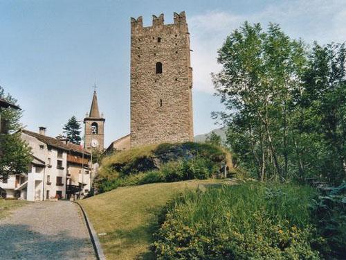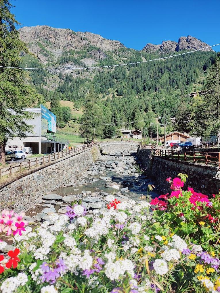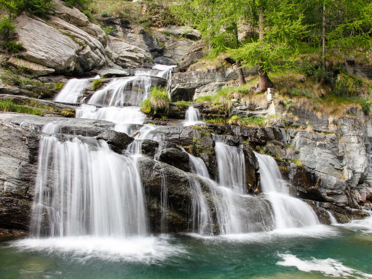
This thrilling circular route allows you to explore the lower Champorcher Valley, visiting historically significant places such as the village of Barmelle, the Sanctuary of Saint Anne, Chardonnay, Castello, Outre l’Ève, and Salleret. Additionally, this route encompasses all the natural magic Champorcher has to offer, crossing enchanting woods, steep terraced slopes, wooded ridges, green pastures, wetlands, the Goilli di Pourtset gorge, and many other places of breathtaking beauty. Describing the history of each location would involve extensive reading, so if you're interested, please refer to the historical descriptions provided on our website (INSERT LINK TO HISTORY PAGE).
First Section: Dublanc – Tête du Mont (Trail n° 14B – 1B)
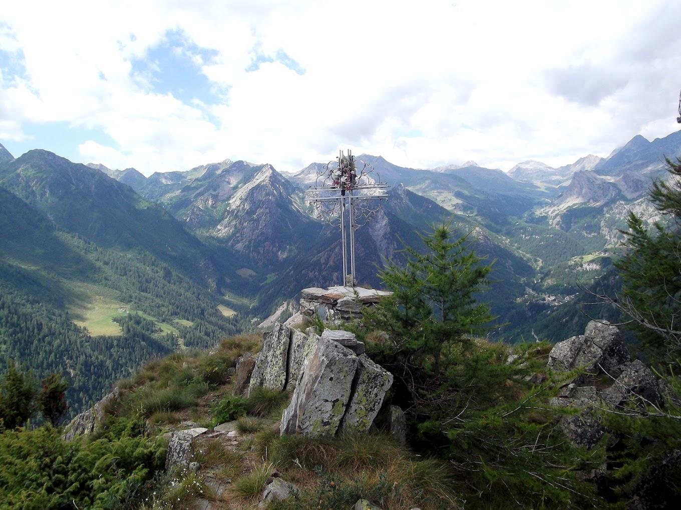
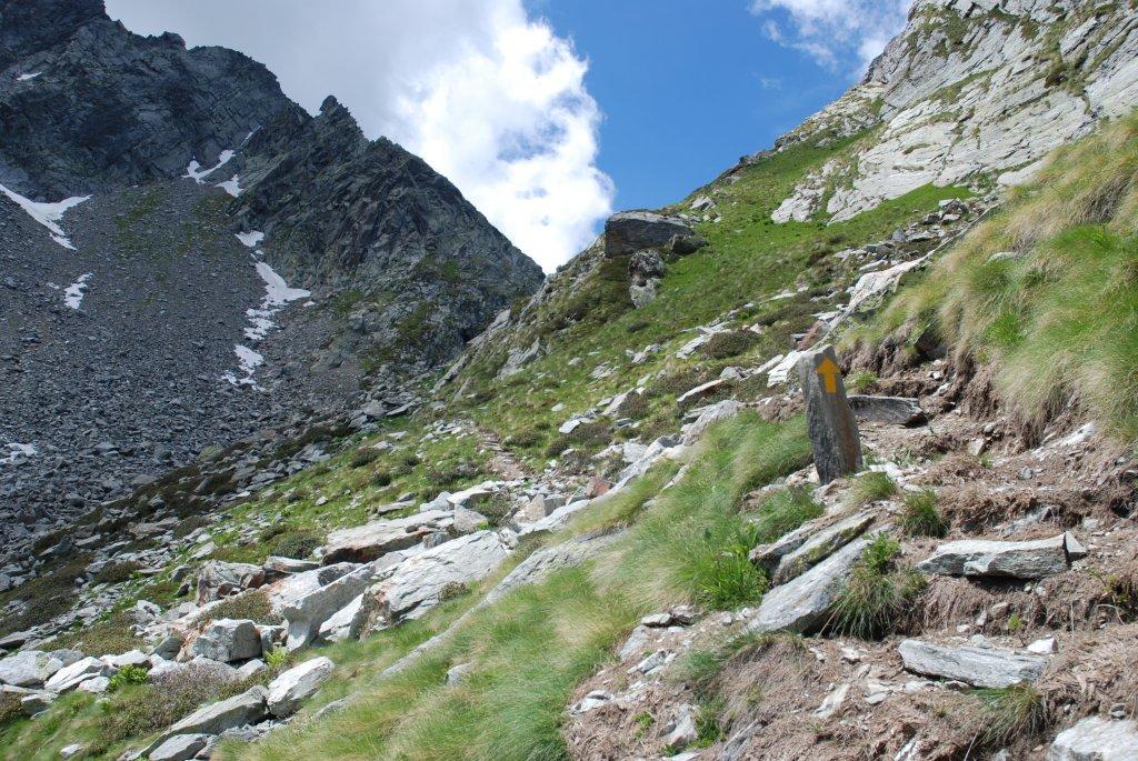
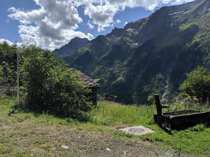
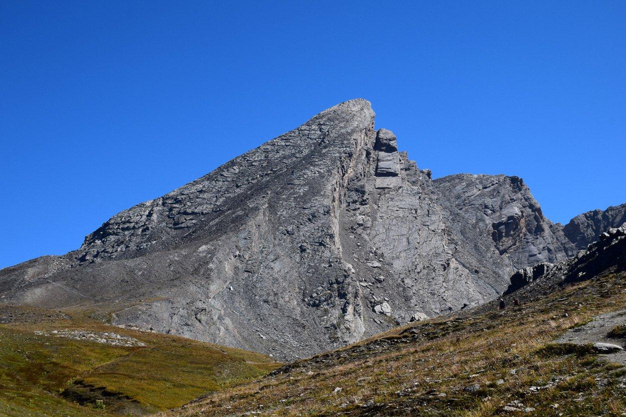
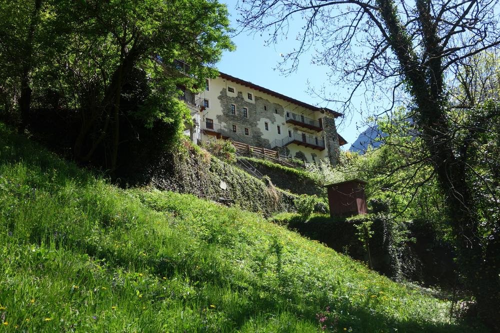
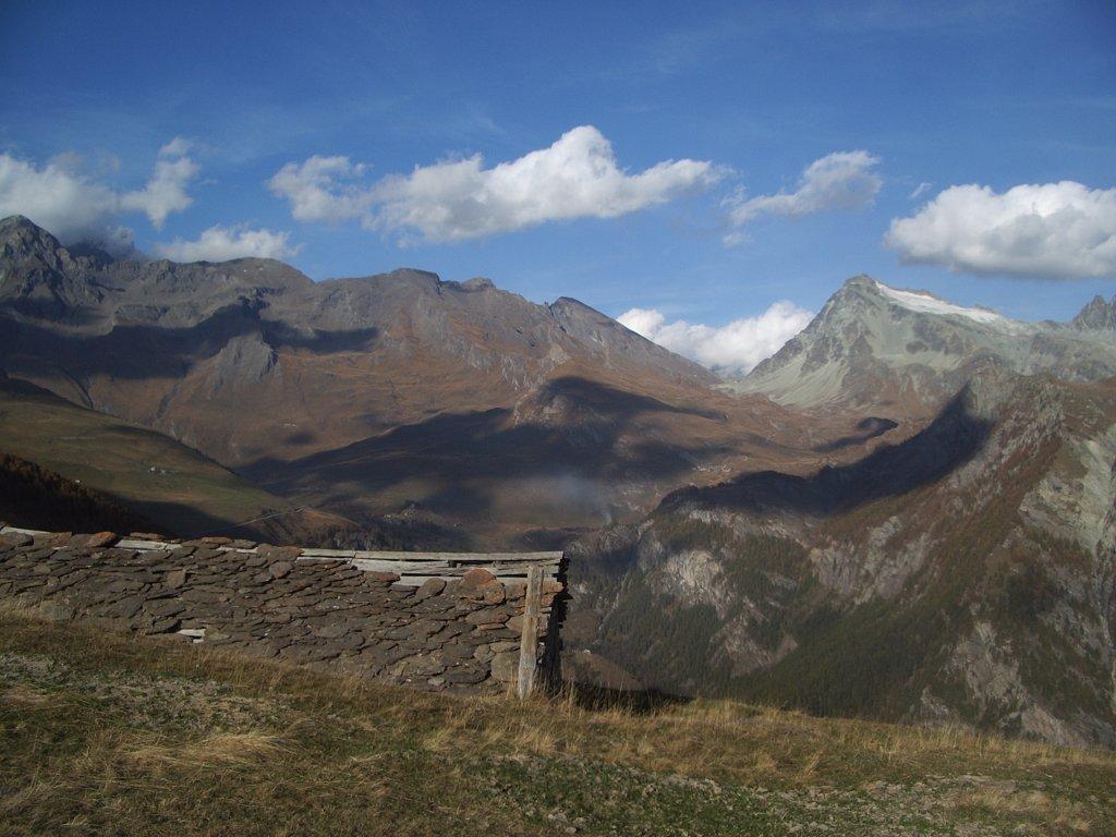
After leaving your car, take the first steps along the paved road leading to Villa Franchini. Find Trail n° 14B, which starts to the left of Villa Franchini (from the parking lot). The mule track crosses a stream and ascends the steep slope through terraced areas with cherry and ash trees. The mule track becomes increasingly vertical, supported by ingeniously built stone walls on the rock face. Rocky staircases alternate with ledge sections and tight turns, but the path remains a mule track. After this spectacular and airy section, the mule track turns right through a forest and emerges among the sparse terraces below Barmelle (1563 m a.s.l.), where you can admire an old stone spring. A few minutes later, you will reach the village of Barmelle, where a stop at the viewpoint to the right of the chapel, dated 1863, is recommended. Then, find the trail that climbs slightly to the left from the village, into old pastures, and then into the forest. Climb the steep trail with many switchbacks, ascending through the forest and a scree slope, until you reach the ridge/crest (to the right of Tête du Mont). From here, head left through the forest (passing on the north side of the mountain) and, after about 200 meters, find the steep trail leading to Tête du Mont (1896 m a.s.l.). It is advisable to take a break and enjoy the view. Allow approximately 2h30-3h to reach Tête du Mont.
Second Section: Tête du Mont – Col Arcomy (Trail n° 1B, 14A, 13B, and 2)
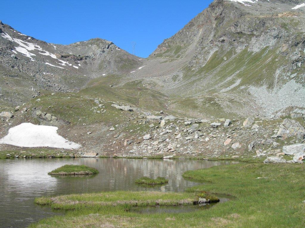
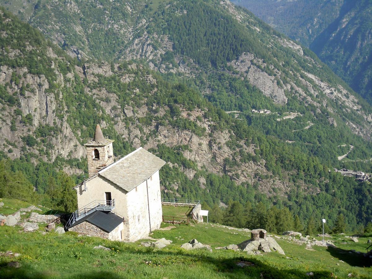
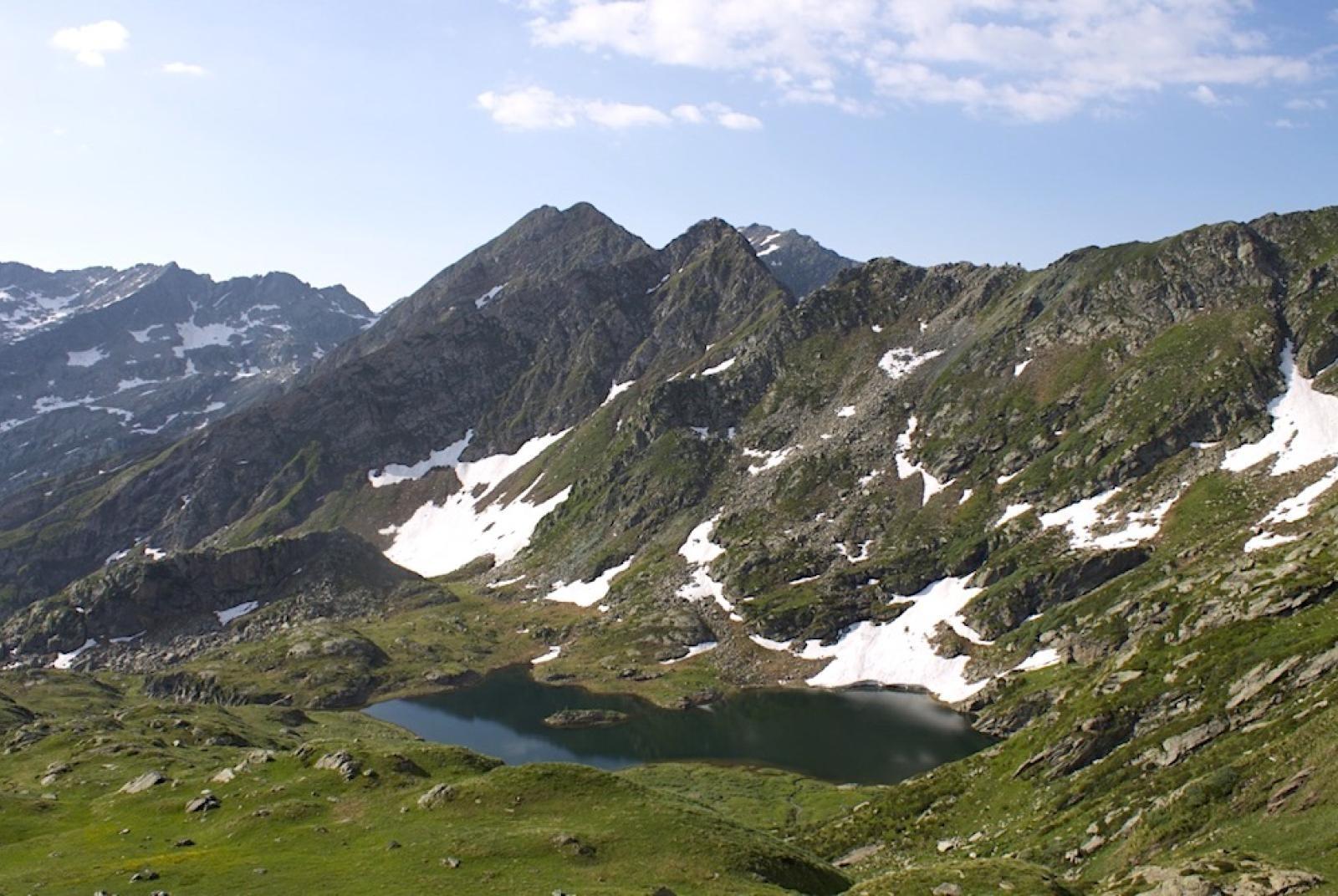
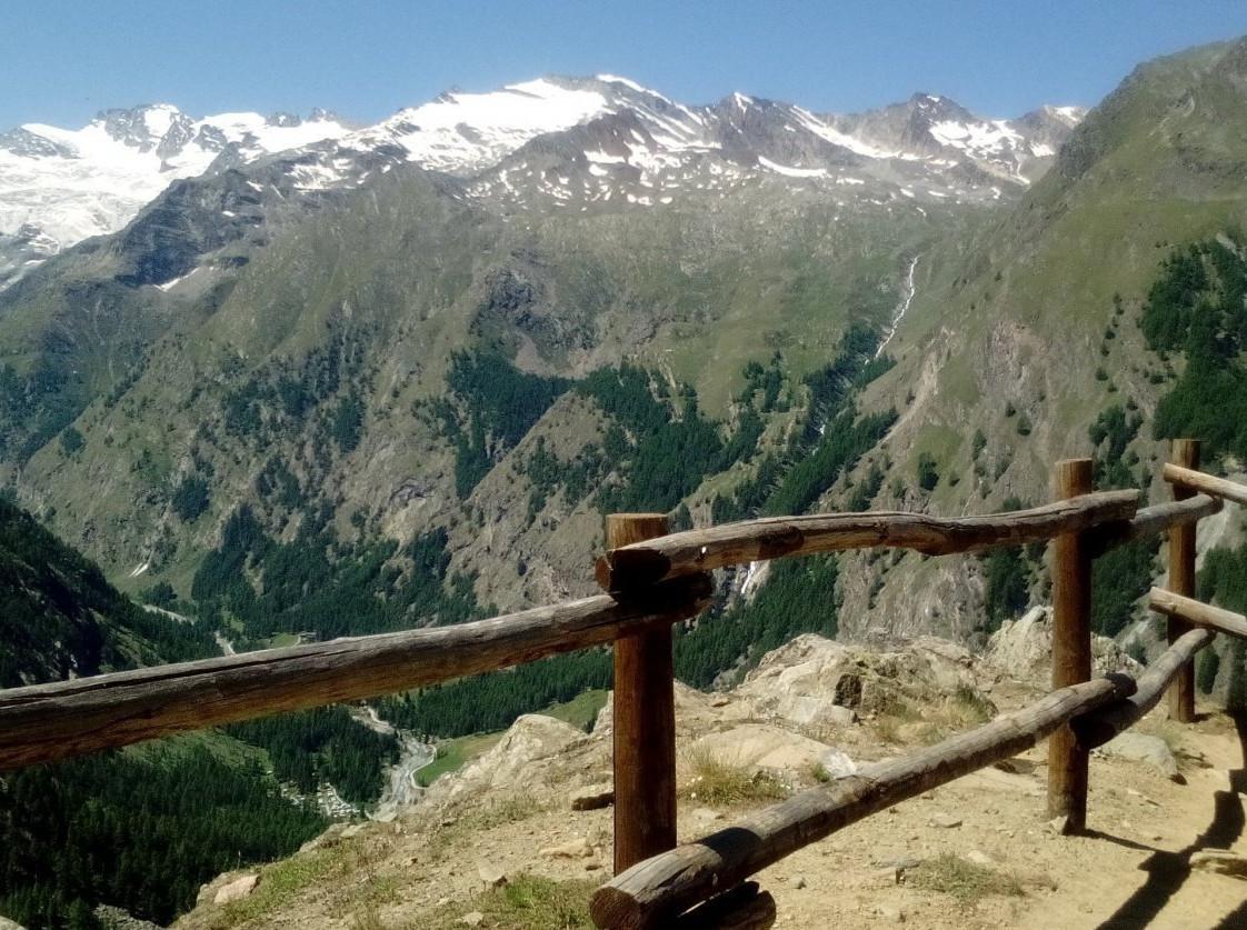
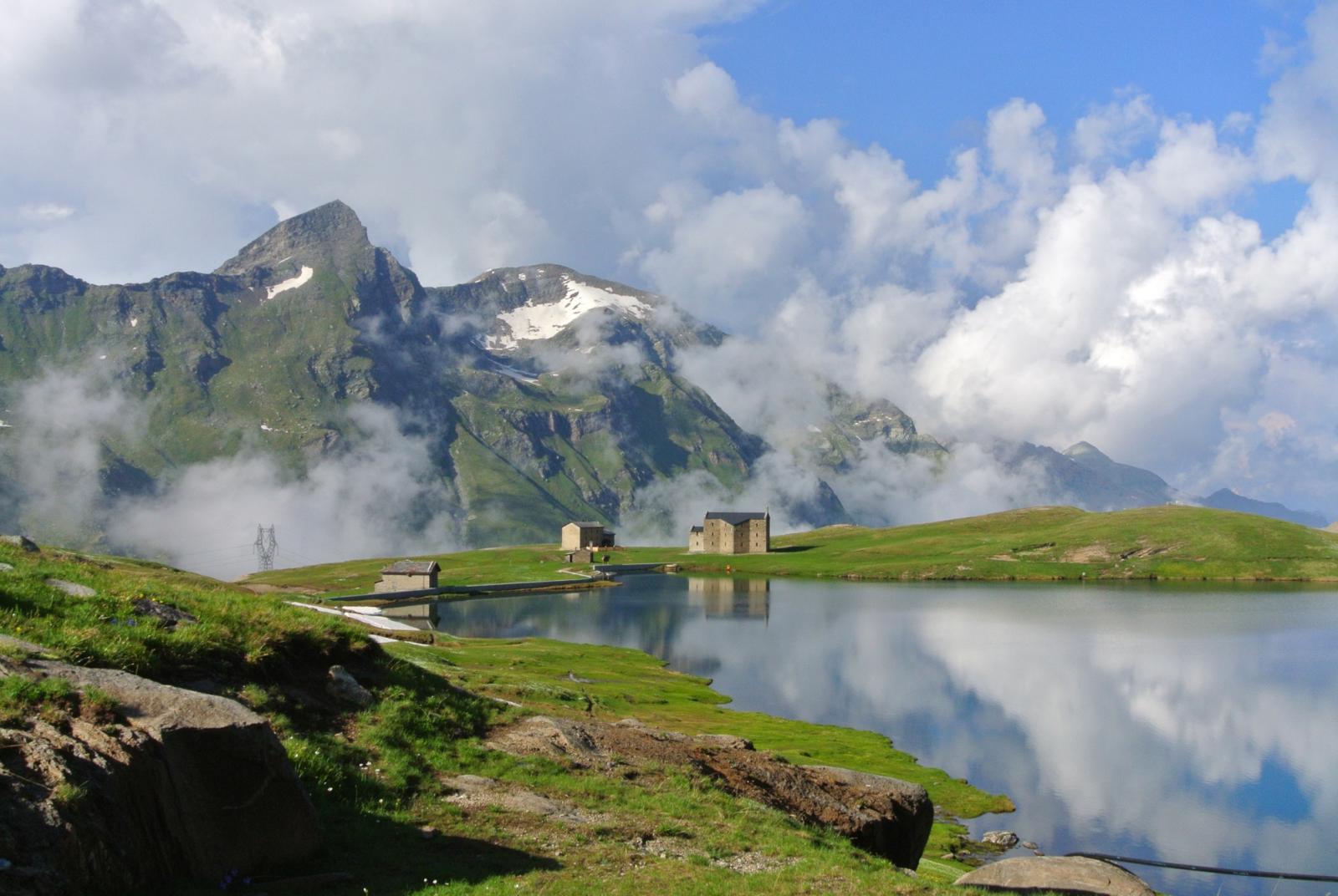
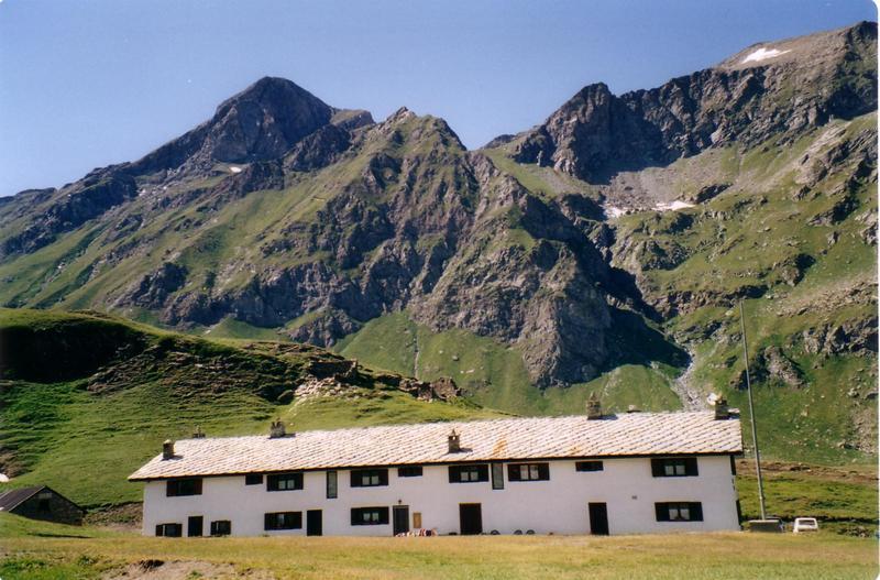
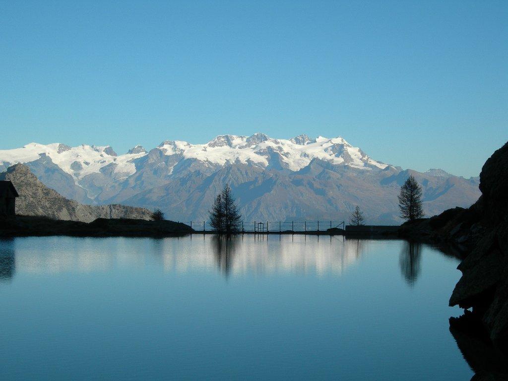
Once you’ve enjoyed the view, retrace the trail you used to reach the summit and arrive at the main trail. Continue west along the trail to Col di Plan-Fenêtre, which traverses the steep northern slope through dense forest (be careful to avoid the trail that turns right at around 1730 m a.s.l.). Upon reaching Col di Plan-Fenêtre (about 1690 m a.s.l.), take Trail n° 14A, which passes near the historic Sanctuary of Saint Anne. Then continue on the trail that traverses the forest horizontally, until you find a junction (about 1710 m a.s.l.). Take the trail that climbs right, leading to Colle Possauel (about 1833 m a.s.l.). From the col, find Trail n° 2 on the left, which will lead you to Colle Arcomy. This section of the route is very scenic and mostly follows the ridge, offering unique panoramic views of the Champorcher Valley and the Lower Aosta Valley.
Third Section: Colle Arcomy – Remoran – Chardonnay (Trail n° 12 – 11A – 9B)
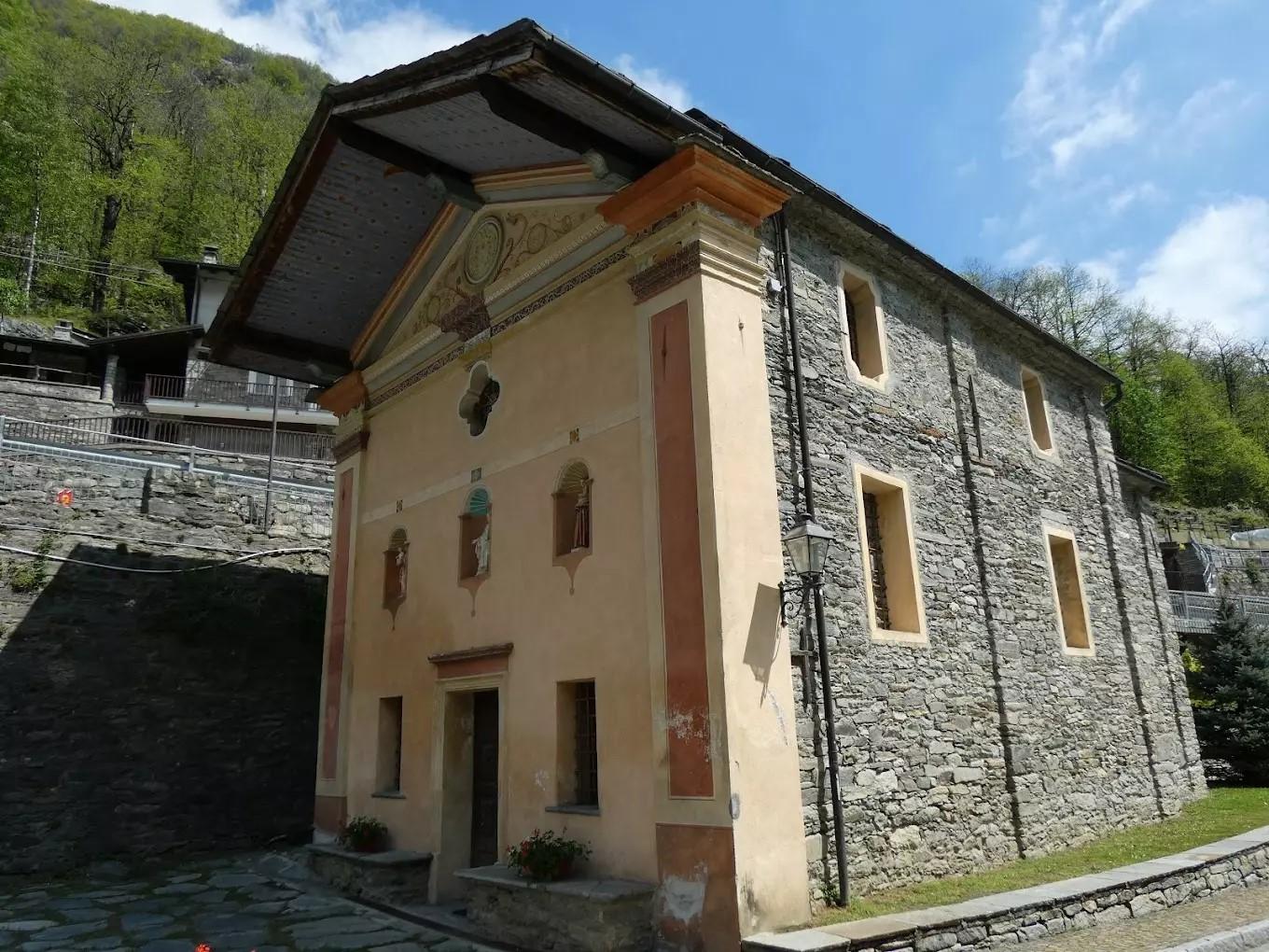
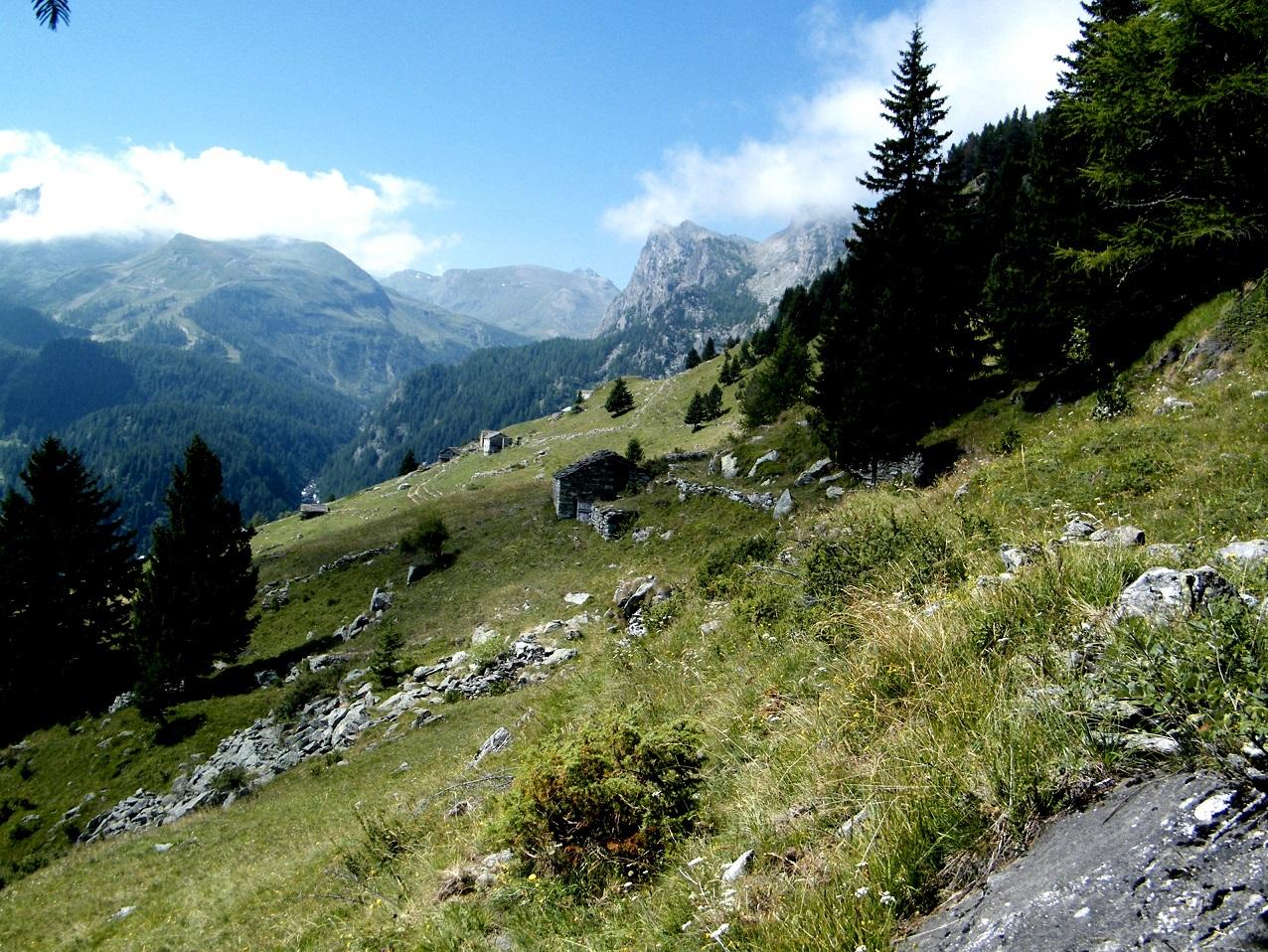
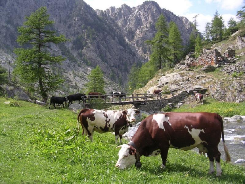
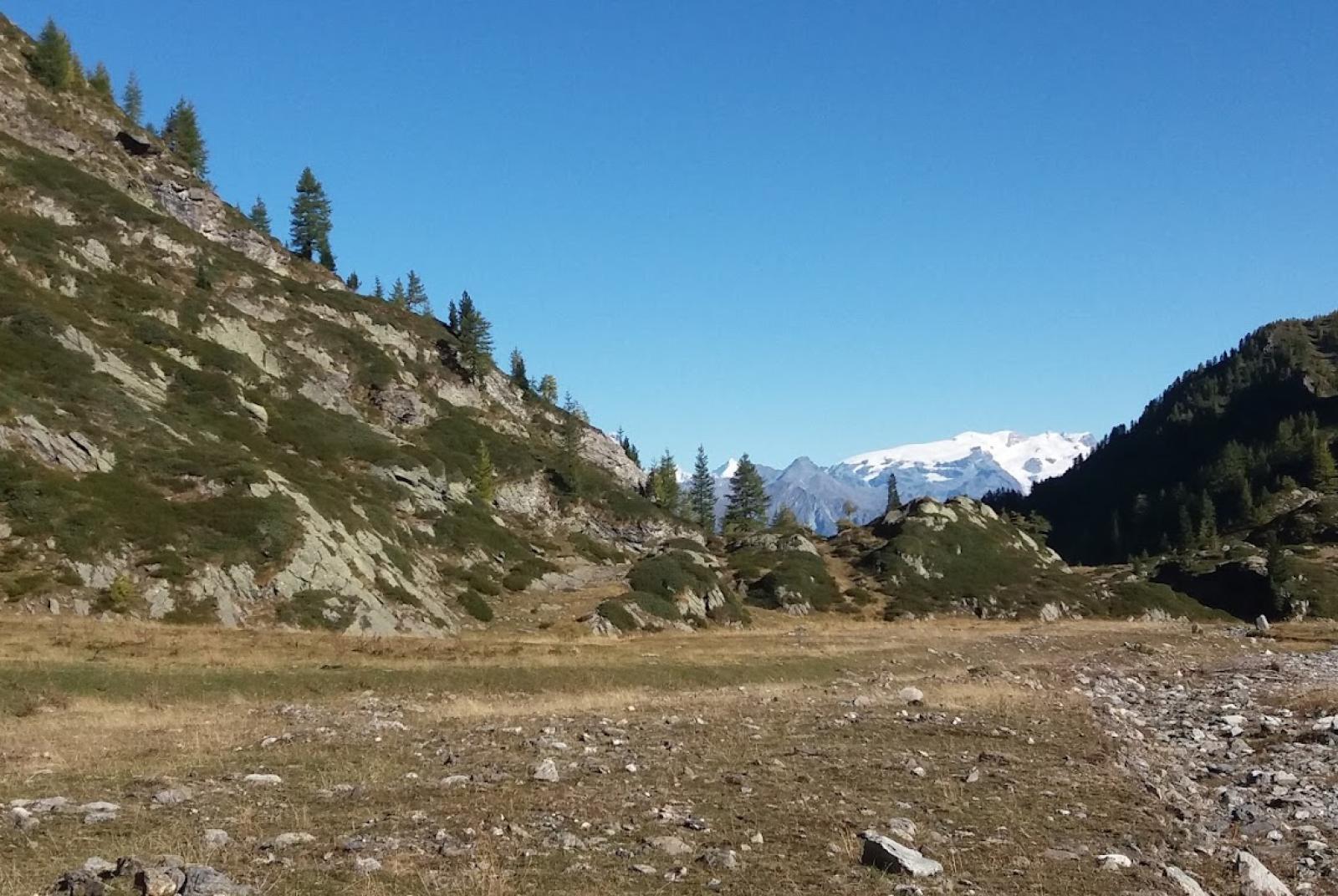
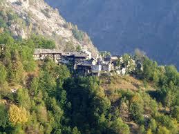
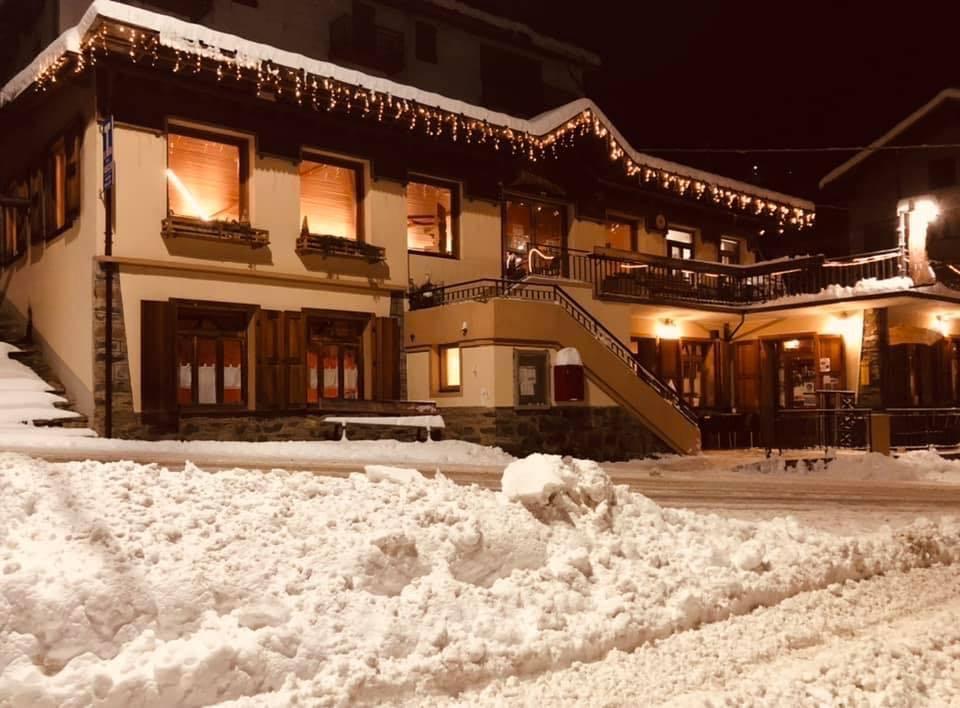
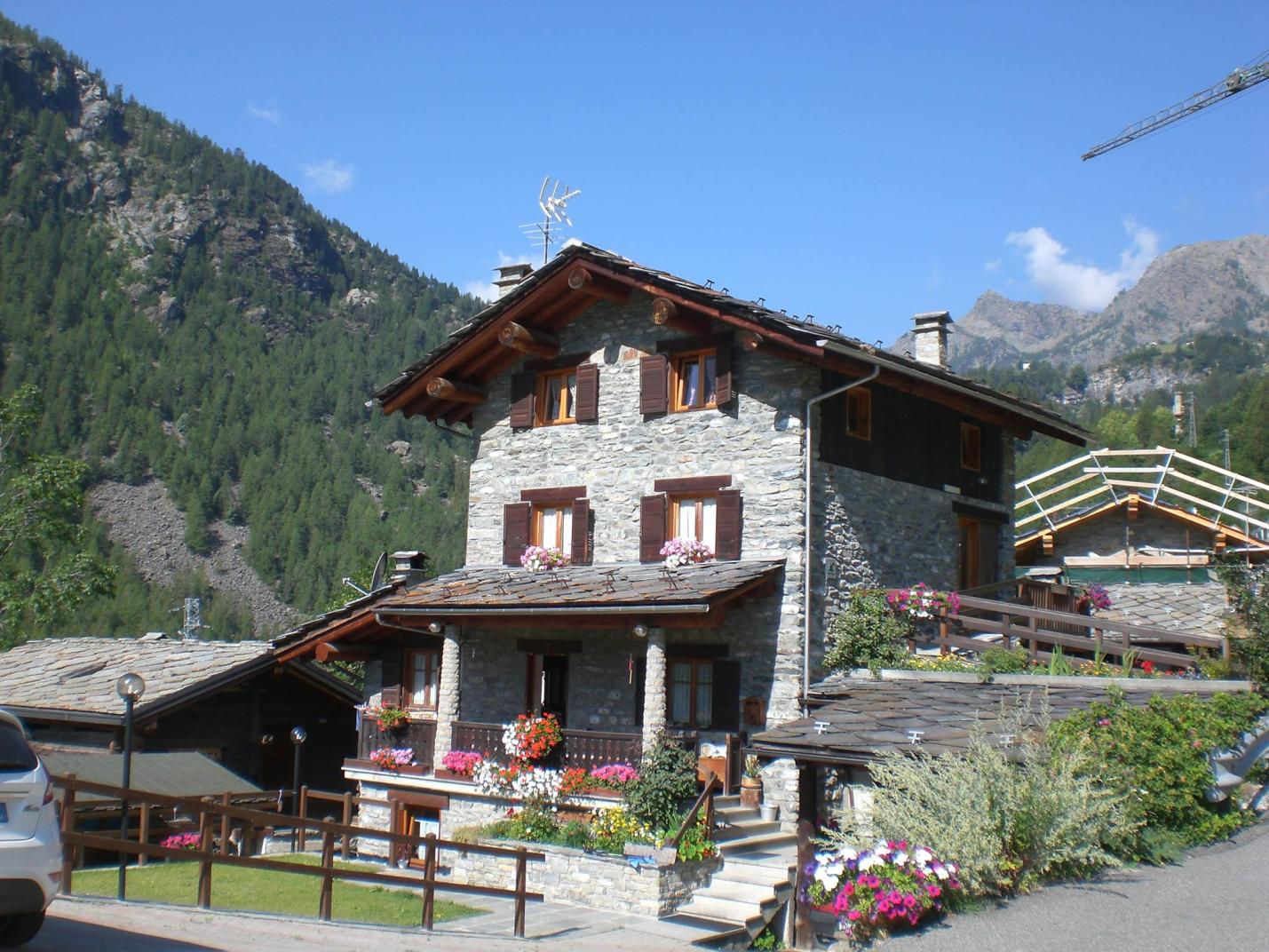
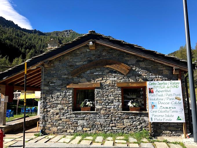
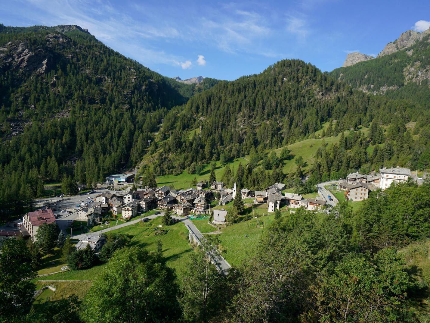
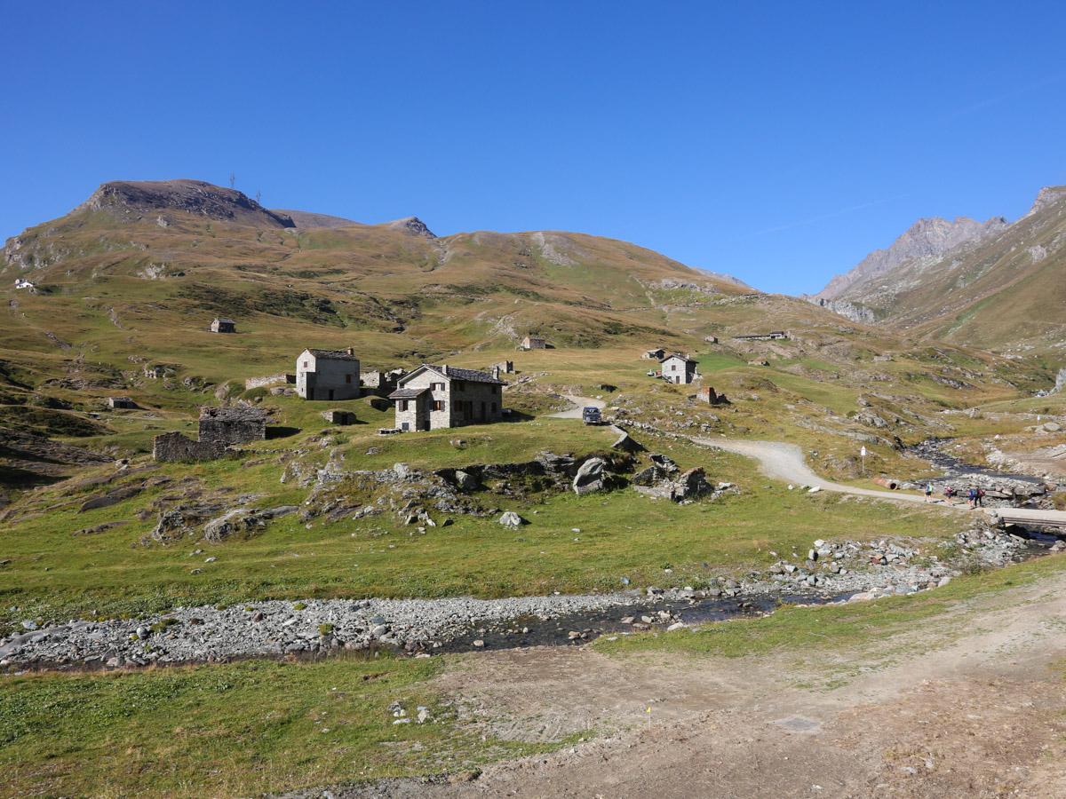
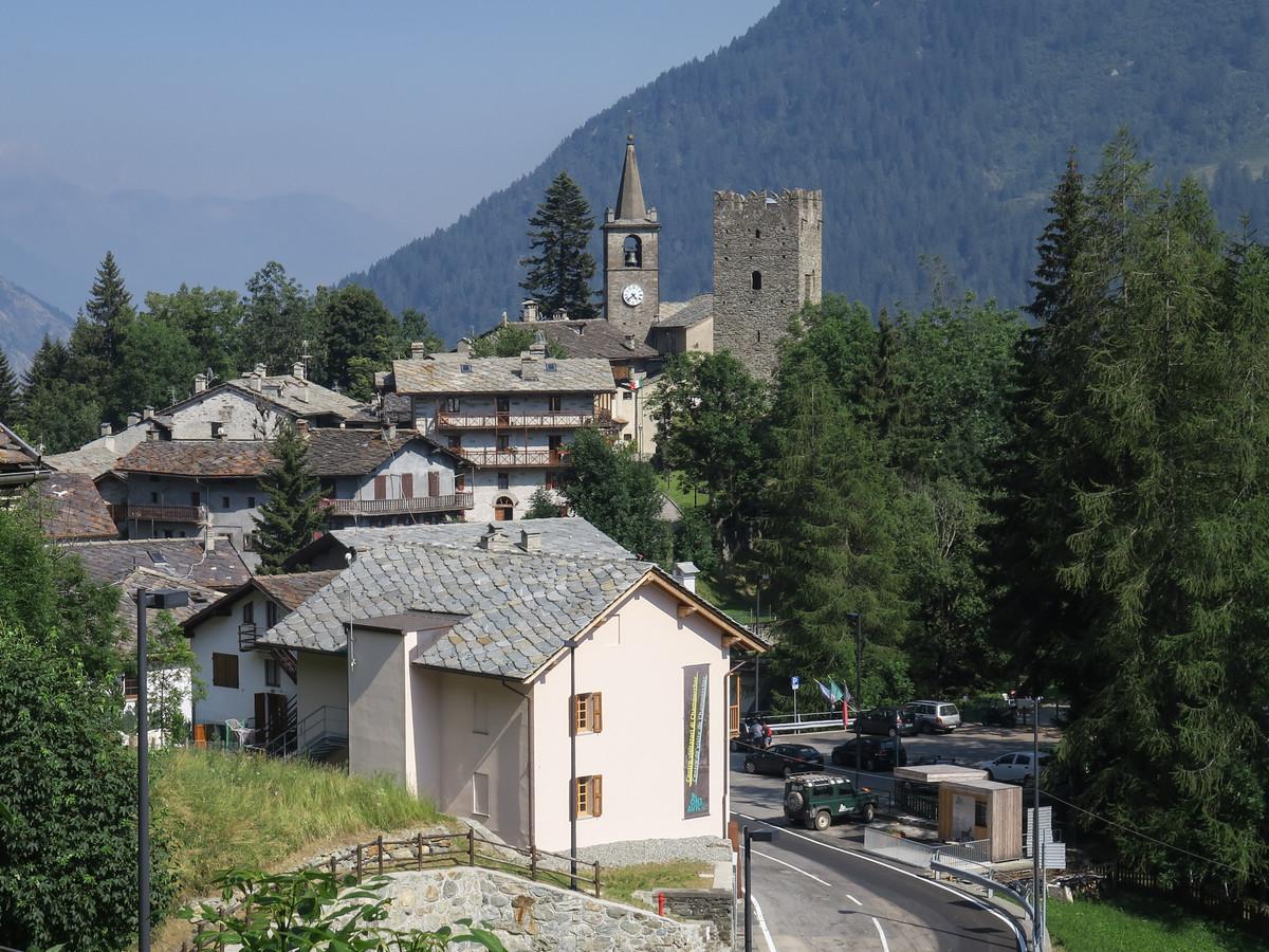
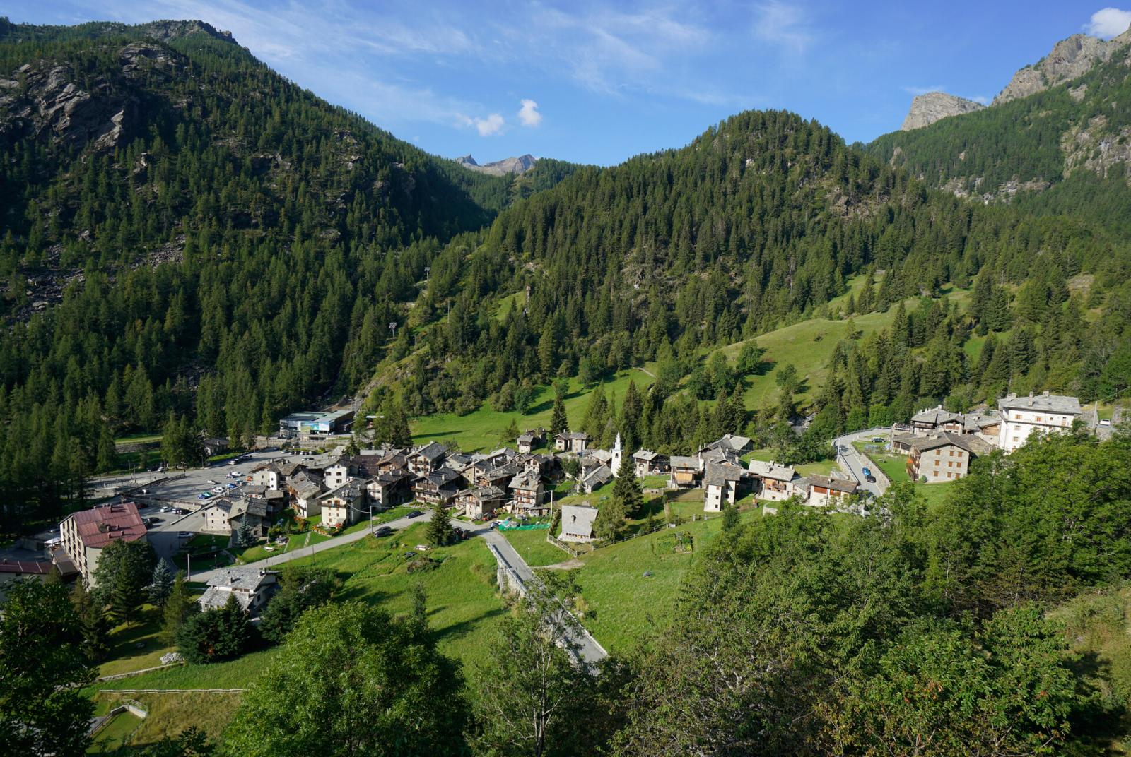
From Colle Arcomy, descend towards the Champorcher Valley. The trail descends through the forest, beneath power lines, until reaching the Arcomy pastures. Then follow the trail that crosses the pastures horizontally to the right, passing below the recently renovated Arcomy pasture, and find Trail n° 11A leading to Remoran. From the Arcomy pasture, the trail ascends through the forest to a small clearing. The Trail n° 11A continues in the same direction, with several ups and downs through forests and some scree, until it runs along the lower side of the La Cort pastures (after avoiding the junction with Trail n° 11), reaching the Remoran area. Then descend to the Petit Mont Blanc area. Find Trail n° 9B that descends to Chardonnay, passing through several pastures and the historic hamlets of Perruchon and Ronchas. After passing Ronchas, find the trail (after crossing the road) descending to the old village of Chardonnay (aim for the old chapel of Madonna delle Grazie). This charming chapel, dating back to 1779, features a wooden spire with relief elements and painted surface, built according to tradition in 1873 by Abbé Pierre Chanoux. Once in the village, you can relax in one of the many bars and eateries.
Fifth Section: Chardonnay – Salleret (Trail n° 4H/AV2 and 3)
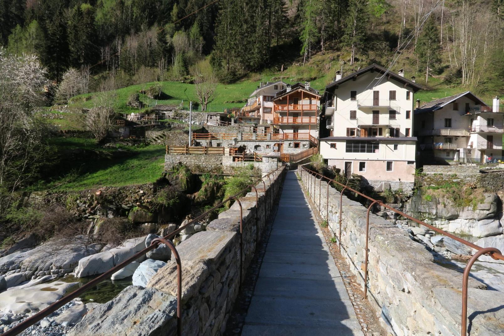
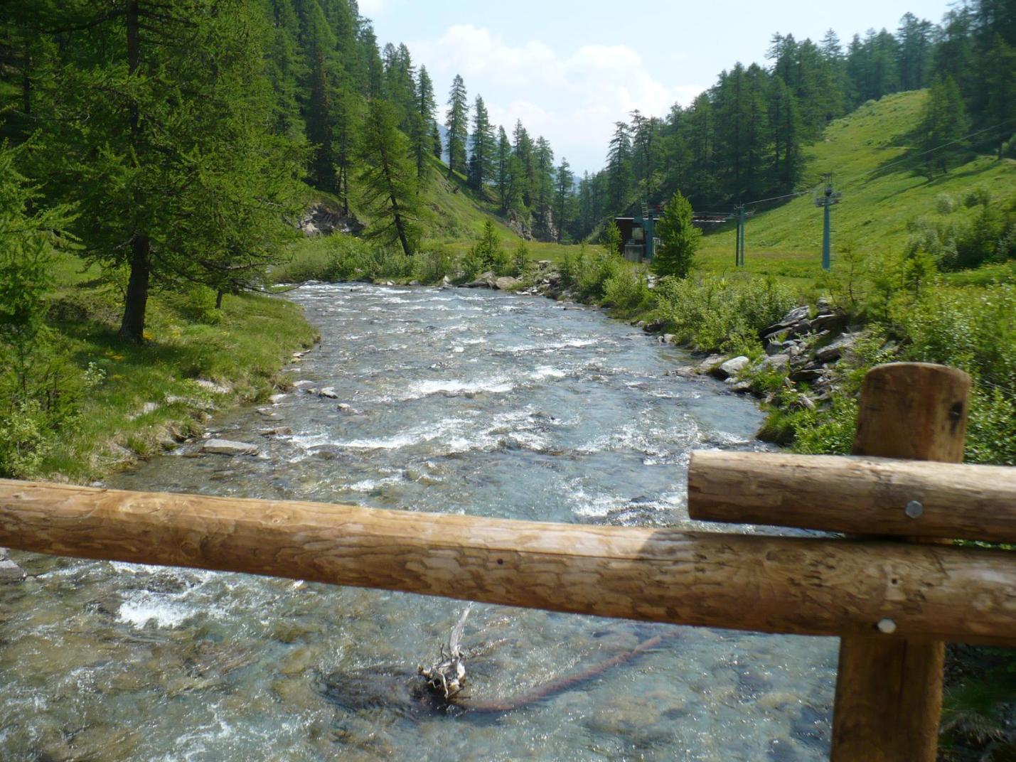
From Chardonnay, descend to the ski lift base via the paved road for about a hundred meters. Then cross the Ayasse stream via a bridge, arriving at the ski lift base on the right bank of the valley. From here, follow the stream along the wide farm road, which remains on the right bank of the stream. After about a kilometer, you will pass to the right of Villa Franchini, reaching the hamlet of Vignat. Descend on the trail that follows the pastures. At a junction (about 1385 m a.s.l.), take the trail to the left (avoid the trail to the right). Then visit the upper area of the Goilli di Pourtset, seeing both the old power station area and the viewpoint (both are deviations from the main trail for about 100 meters round trip). The Goilli di Pourtset gorge is about 90 meters deep at the tower, making it a unique and interesting natural site. After visiting the upper area of Goilli di Pourtset, descend on the trail towards Outre l’Ève. About halfway down, find the round-trip deviation leading in about a hundred meters to the lower viewpoint of Goilli di Pourtset, offering a sheer view of the Ayasse stream. Then, descend to the Outre l’Ève area, passing through tall forests and near the less turbulent waters of the Ayasse stream. Once on the paved road, follow it to the right until you reach the hamlet of Outre l’Ève. Note the beautiful little church and some wooden chalets. Continue to the end of the paved road (flat without climbing) and find Trail n° 3, which with various ups and downs will lead you back to Salleret. Shortly after Outre l’Ève, avoid the left fork that descends, but continue on Trail n° 3, which crosses a stream and leads to the pastures of the Menesse and then Bormes pastures. Enjoy this last section of the route sheltered by the tall forest. Then cross the Ayasse stream via the wooden bridge (about 1080 m a.s.l.), climb to the Salleret hamlet and then to Dublanc.
Technical Notes: The route is recommended for experienced hikers in good physical condition. It is not suitable for families.