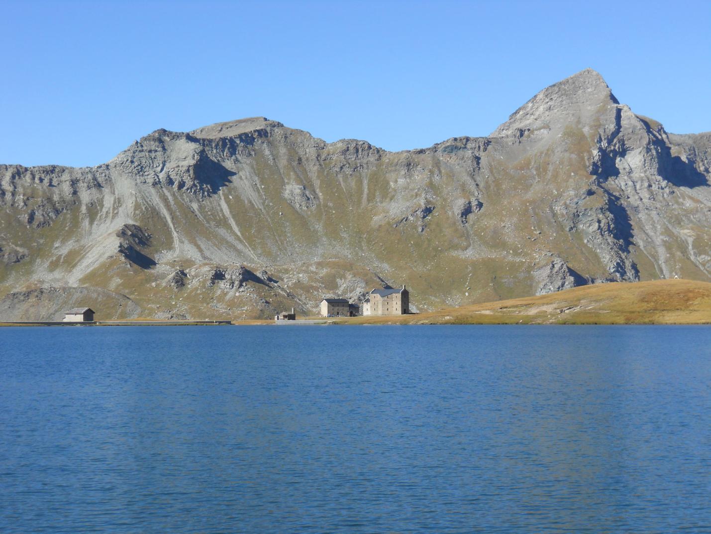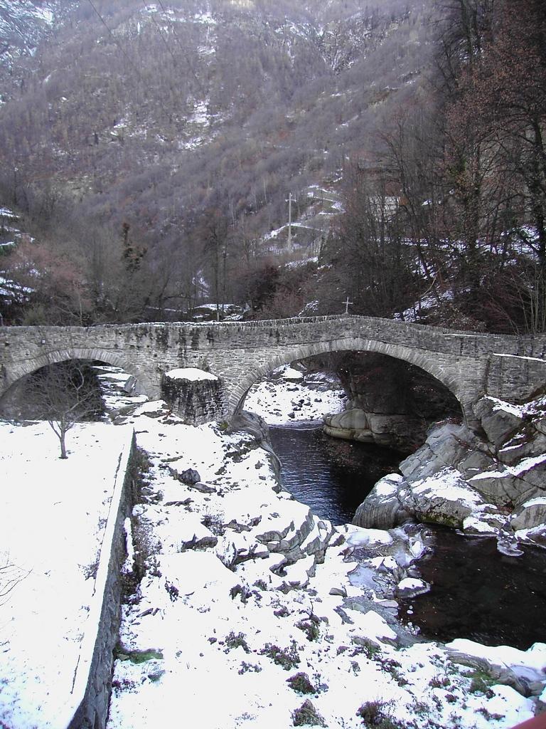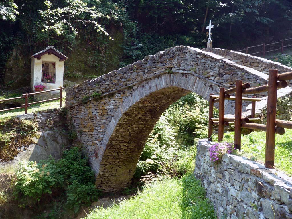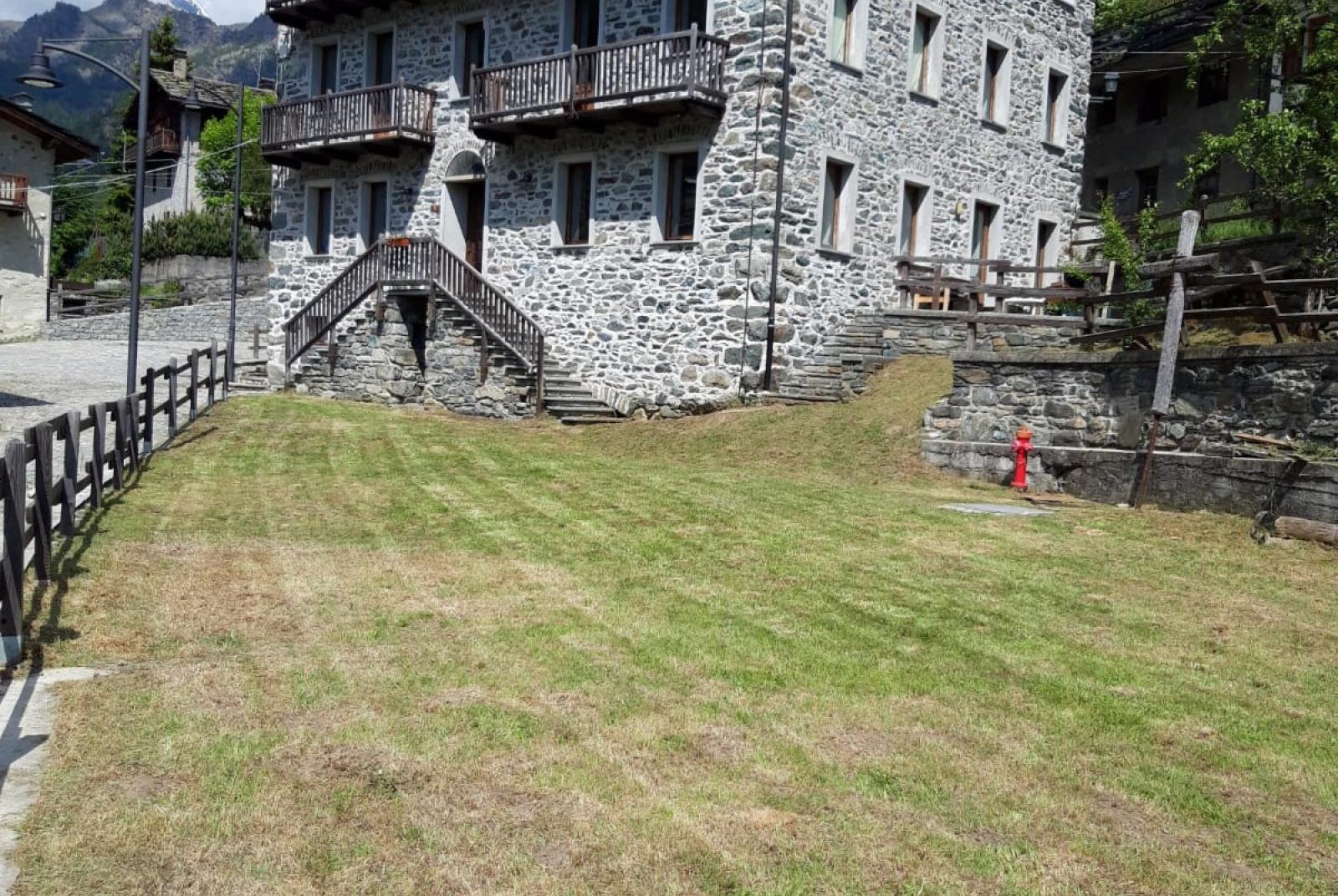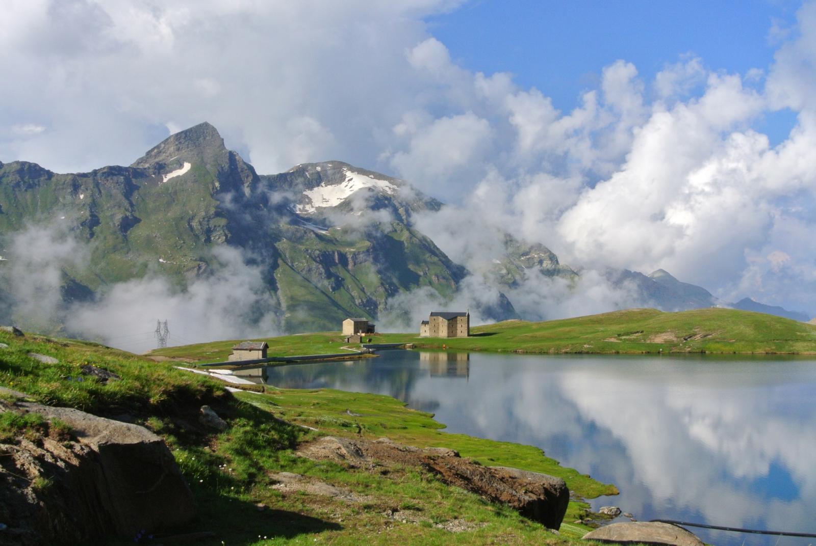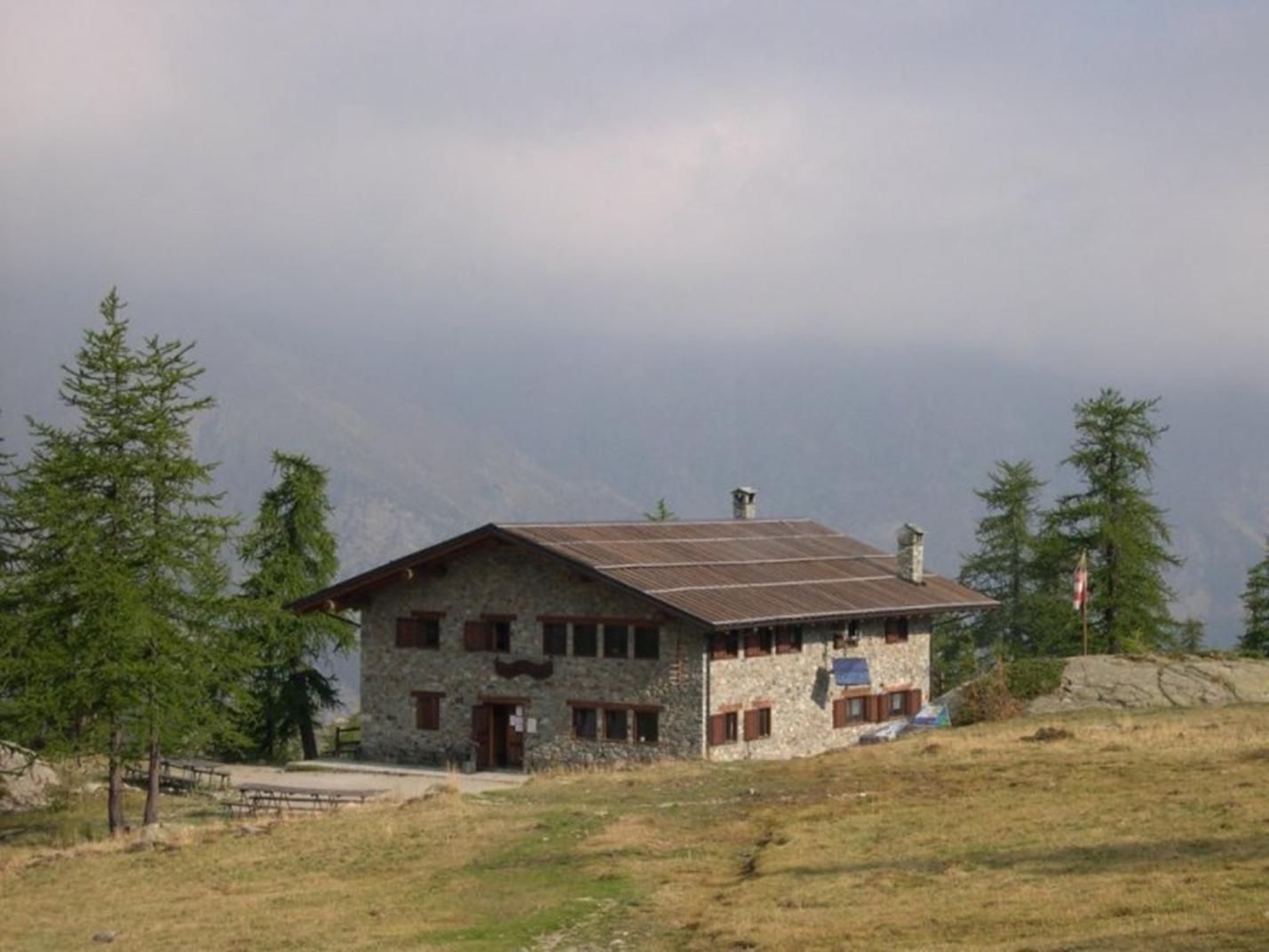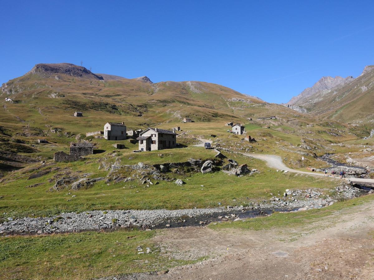
This hike offers a unique panorama of the upper Champorcher Valley. During the trek, which partially takes place in the Mont Avic Natural Park, you'll be able to admire: the old hunting lodges of King Vittorio Emanuele II, the Lago del Miserin with the nearby historic Sanctuary, the Rifugio del Miserin, and the Rifugio Dondena, a former hunting lodge of the king. This loop is perhaps one of the most famous hikes in the area as it allows for a complete immersion in both the natural environment and the royal and religious history of the region.
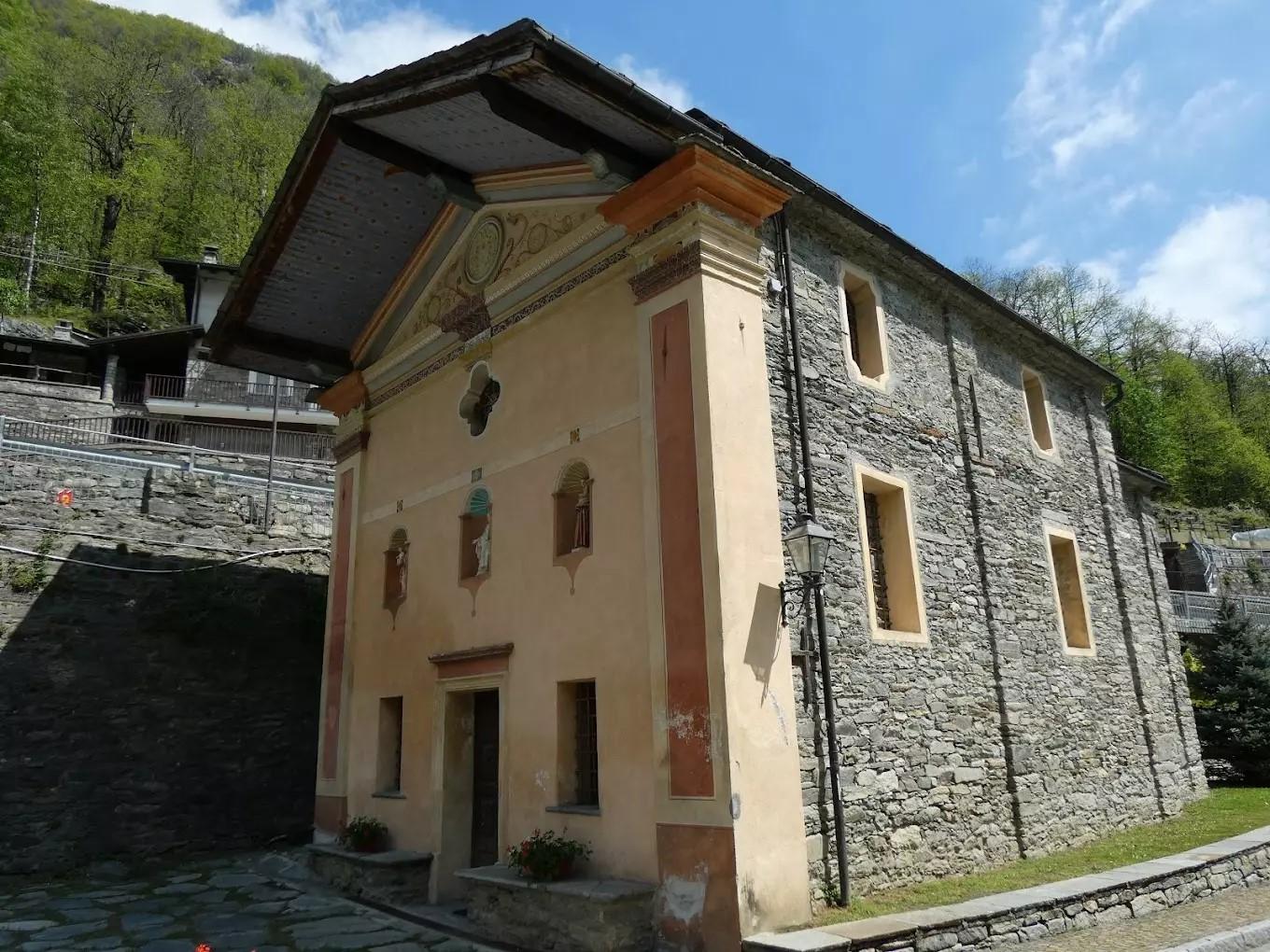
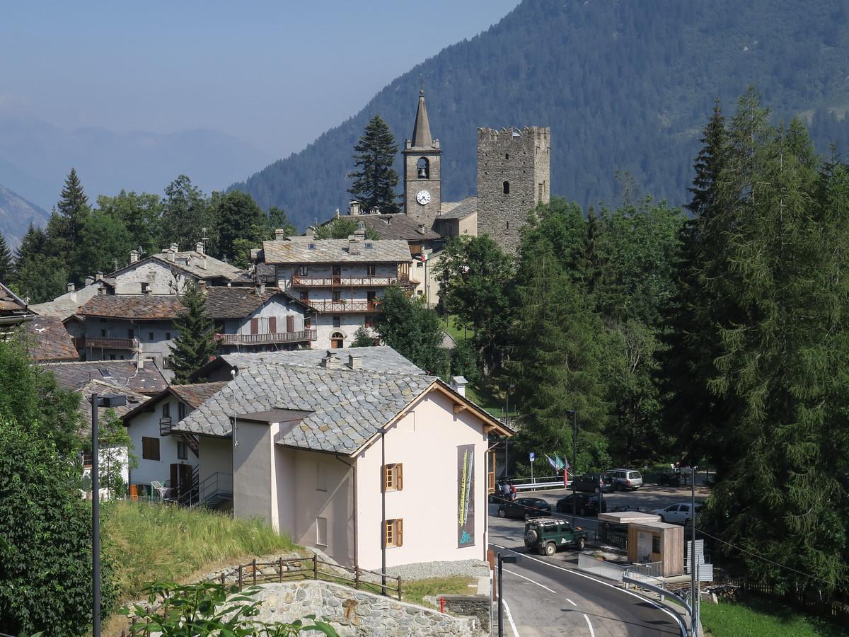
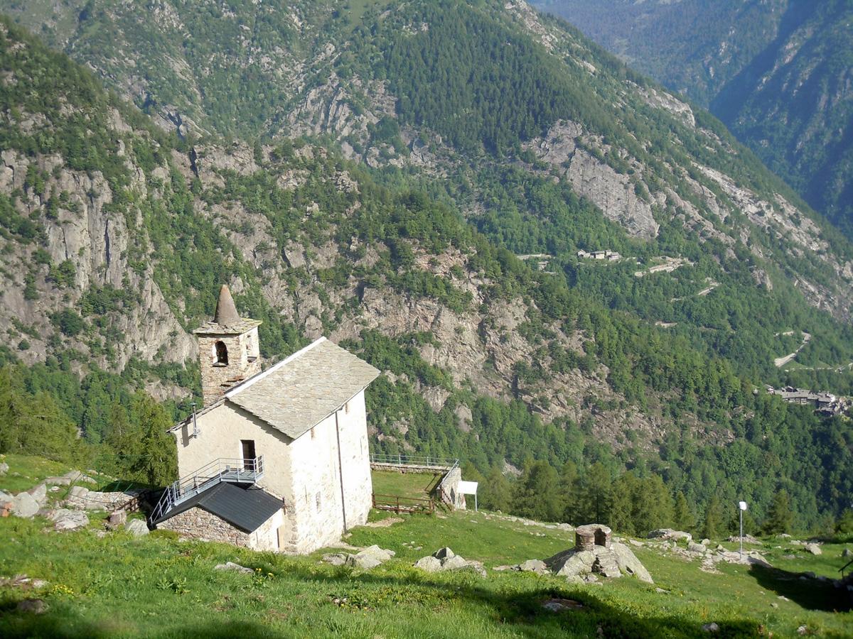
Regarding the Sanctuary of Madonna delle Nevi, it was initially built in 1658. The current building dates back to 1881, after reconstruction initiated by then-parish priest Jean-Baptiste Danna and Abbé Pierre Chanoux. Subsequent renovations include one after a fire in 1947 and the most recent one in 2000. Every year on August 5, an ancient tradition sees many pilgrims, including those from Cogne, Val Soana, and Fénis, participating in the Madonna delle Nevi festival. At 3 a.m. on August 5, the "big" bell of the parish church of San Nicola rings, and around 4 a.m., pilgrims begin the procession to the Sanctuary, where a Mass and a celebration are organized.
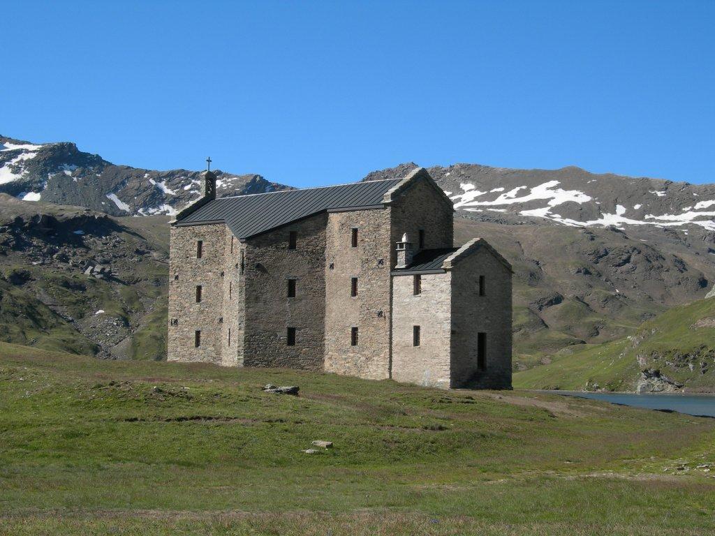
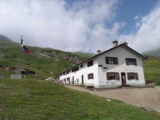
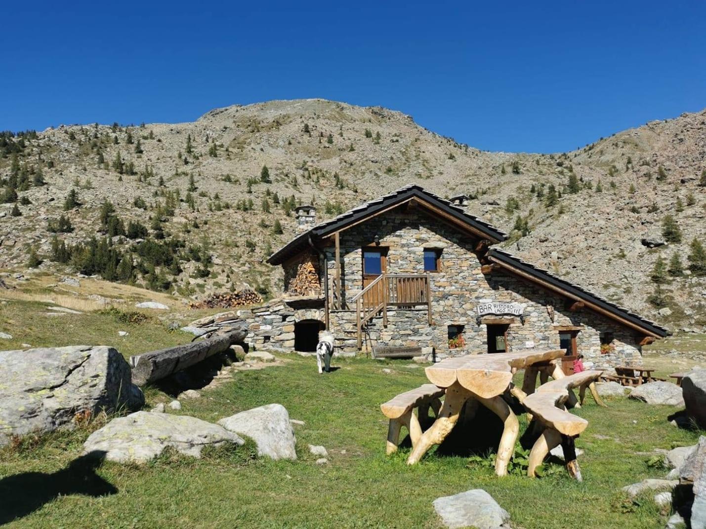
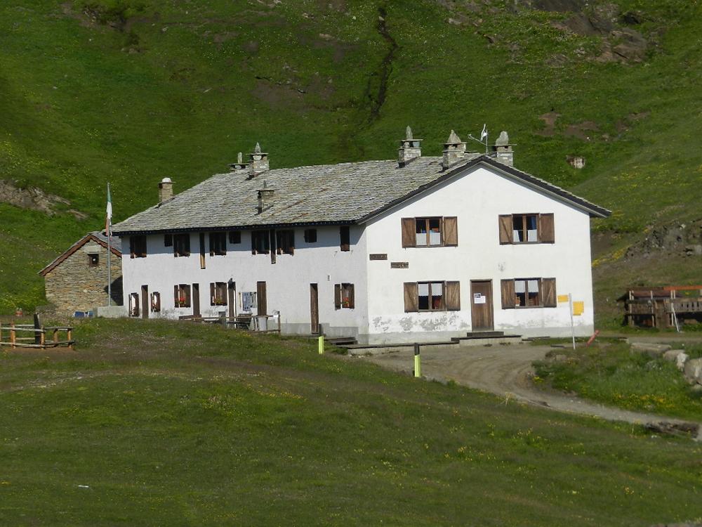
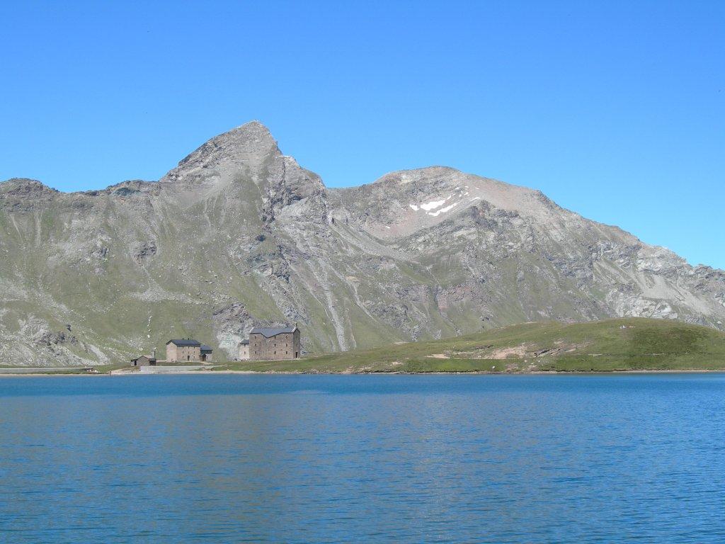
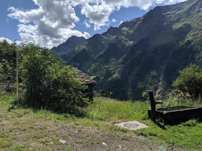
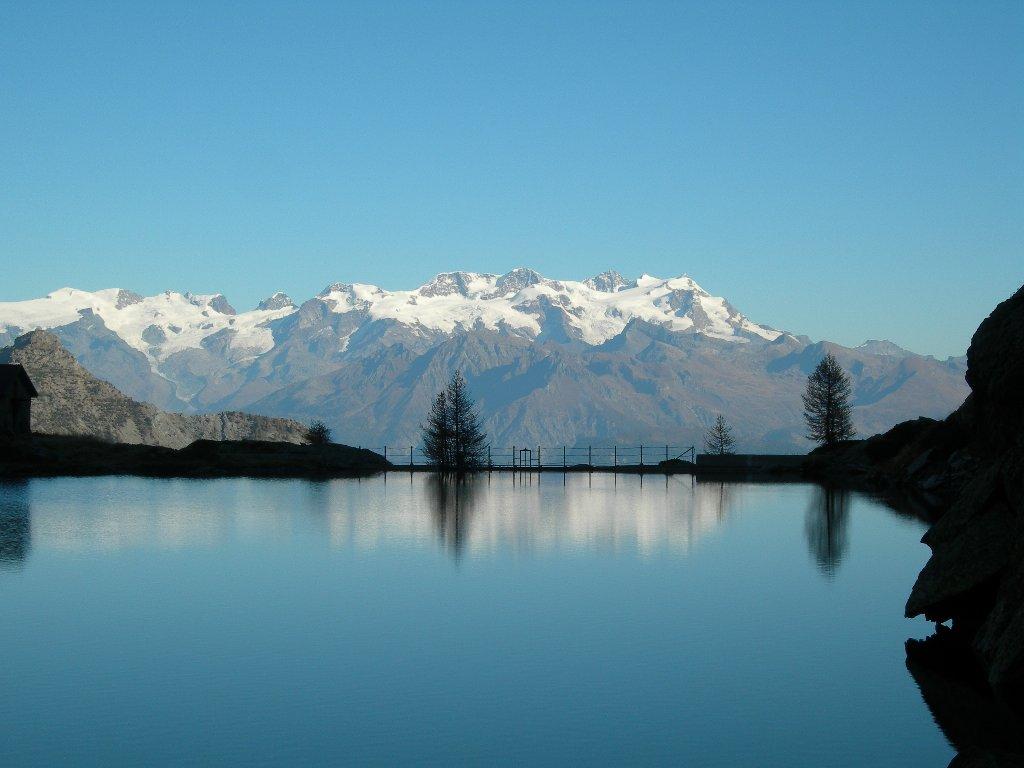
The Rifugio del Miserin was originally built around the 17th century as a shelter for pilgrims visiting the Sanctuary.
First section: Piazzale Dondena – Col Fenêtre (trail no. AV2-7)
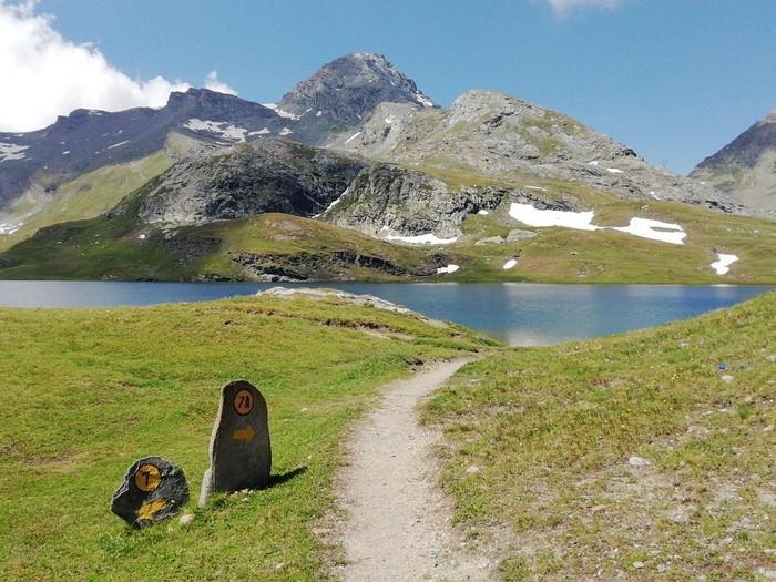
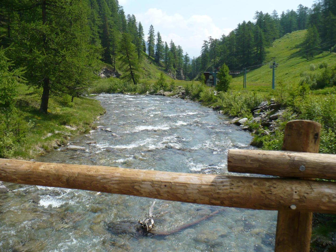
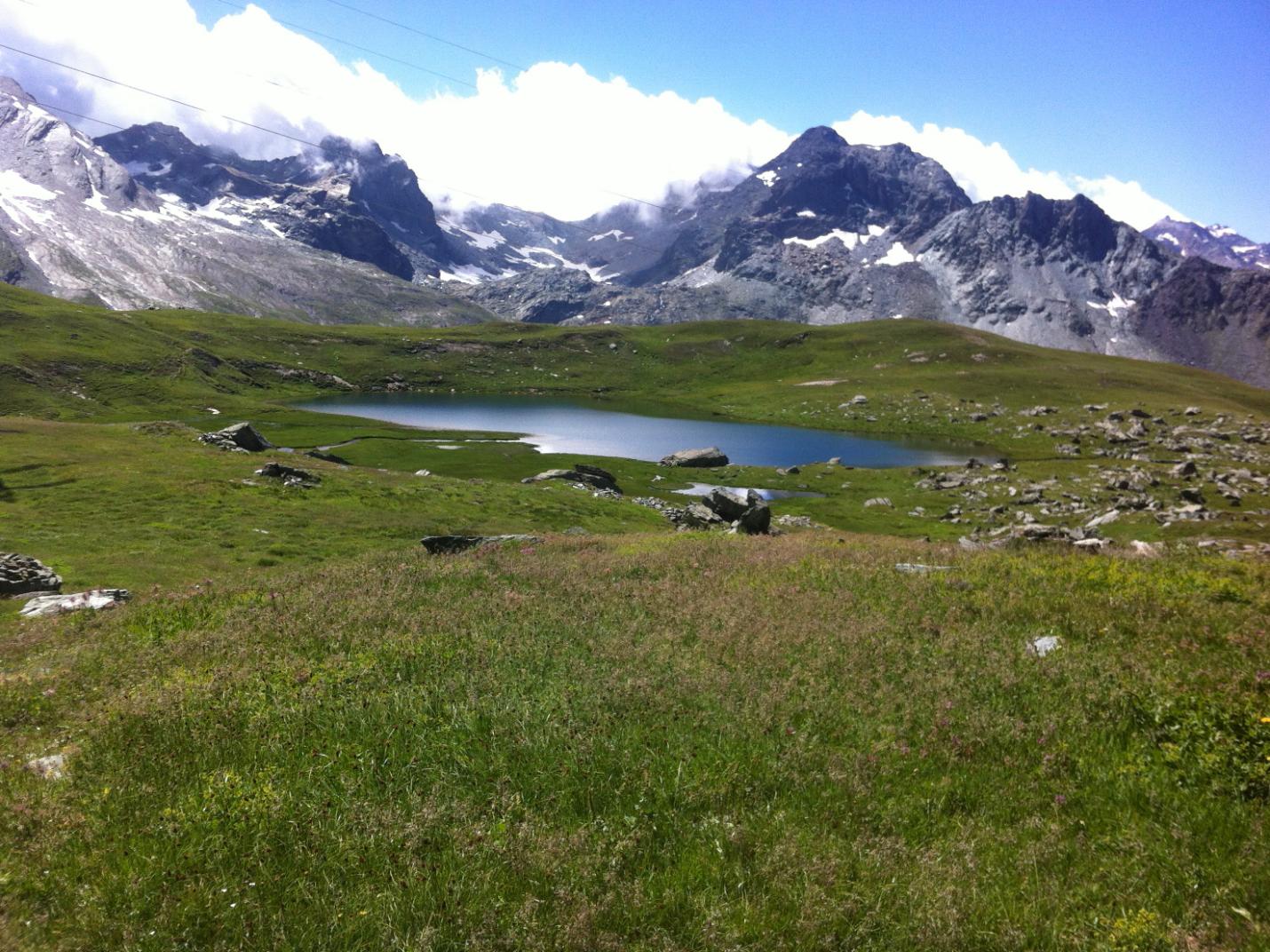
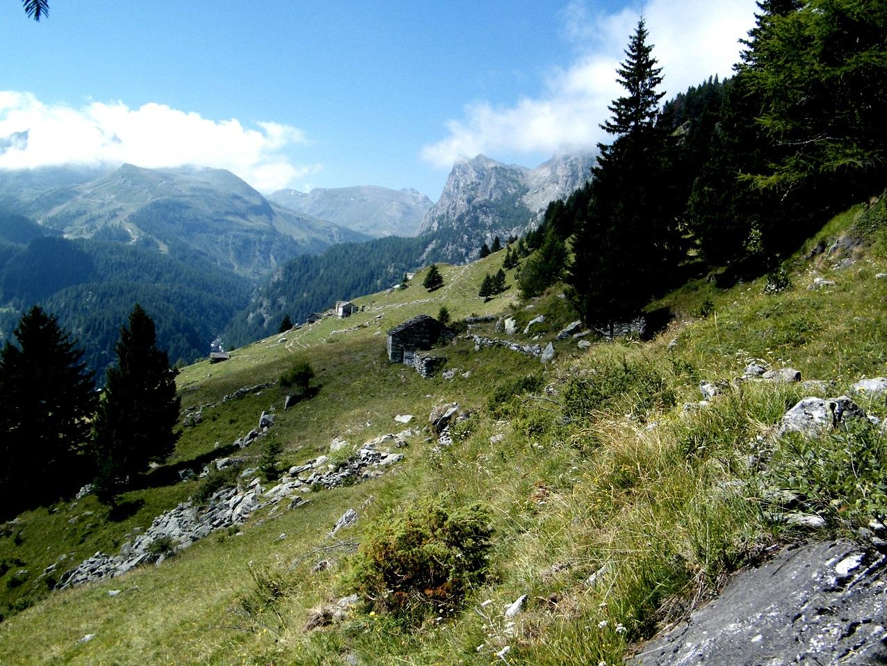
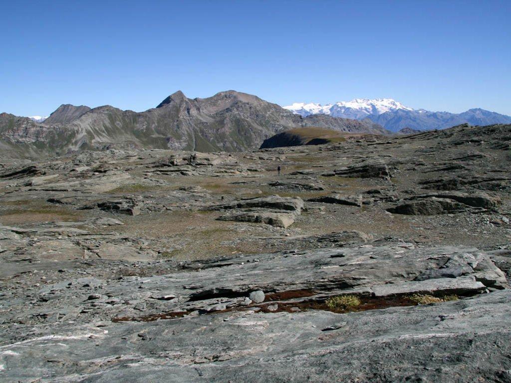
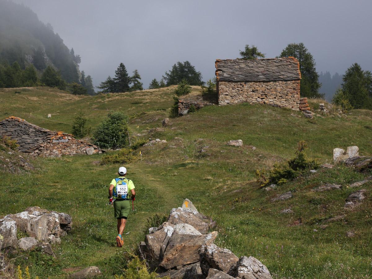
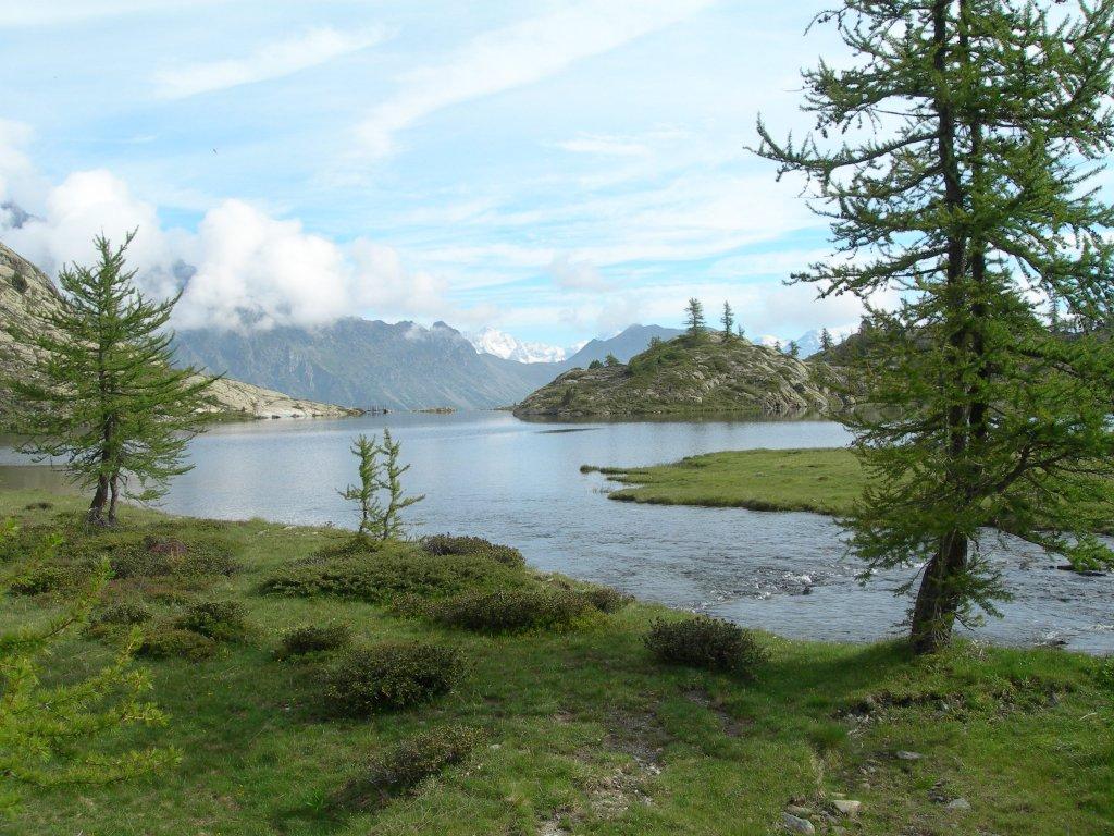
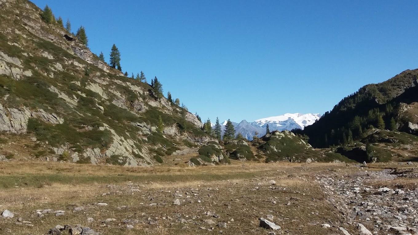
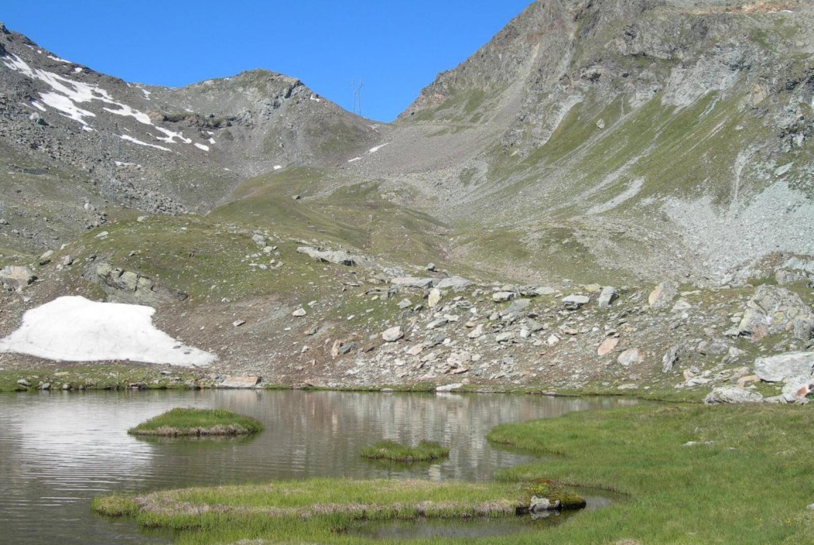
After parking your car, ascend to Rifugio Dondena (2185 meters above sea level) via the farm road, an old royal road dating back to 1862, which passes near several former hunting lodges. Once at the refuge, leave the road ascending to the right of the refuge, and take the farm road to the left (leading towards Cimetta Rossa). Continue on this road for a few hundred meters until you reach the fork to the right for trail no. 7 (about 2230 meters above sea level). Turn right and follow trail no. 7 to Lago del Miserin (avoiding the fork to the left for trails 6B/6C at about 2250 meters above sea level). This section climbs gently towards Lago del Miserin, crossing high-altitude alpine pastures that offer beautiful views of the upper Champorcher Valley and the surrounding mountains. Upon reaching Lago del Miserin, turn right towards the Sanctuary of Madonna delle Nevi and Rifugio del Miserin (2582 meters above sea level), where it is advisable to take a break after visiting the historic sanctuary. From Rifugio del Miserin, cross the stream flowing from the lake and take the trail that ascends to Col Fenêtre. This trail crosses meadows, boulder fields, and scree zones until reaching Col Fenêtre di Champorcher (2827 meters above sea level). From here, you will enjoy panoramic views of both the Champorcher Valley and the Cogne Valley.
Second section: Col Fenêtre – Piazzale Dondena (trail no. 7B – AV2)
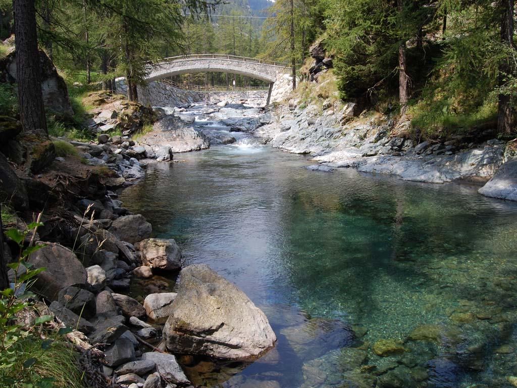
From Col Fenêtre, looking towards Champorcher, take trail no. 7B, which descends on the left side of the valley, becoming a gentle mule track. This section is wilder than the previous one and takes you into the heart of Mont Avic Park. Descend trail no. 7B, which traverses the broad valley, initially across a steep slope and then through the center of the valley, passing by a wet area. Continue descending the trail until you reach Pian del lago, after crossing a stream. Here, the trail intersects with the farm road leading up to Rifugio Miserin (fork at about 2440 meters above sea level). Follow the farm road back towards Rifugio Dondena and then to the parking area.
Notes: Medium difficulty circular route.