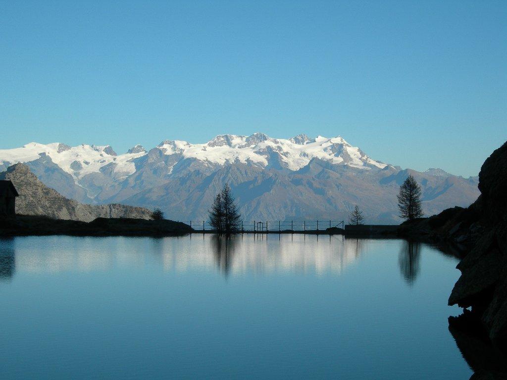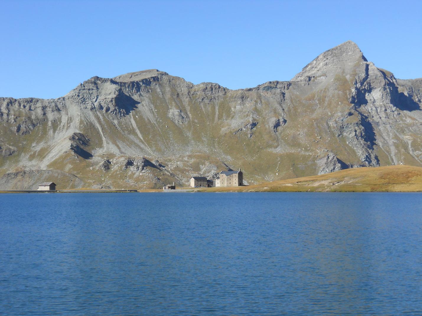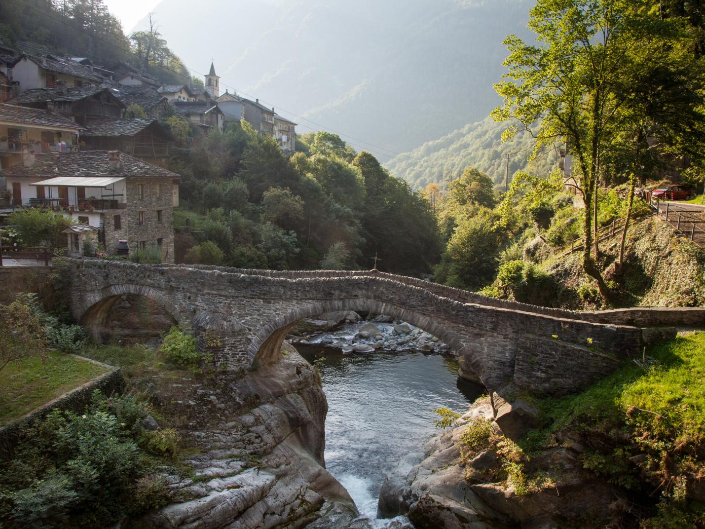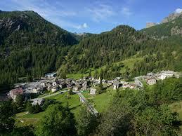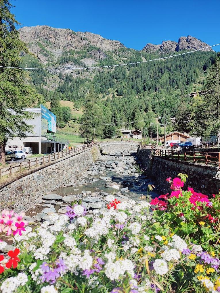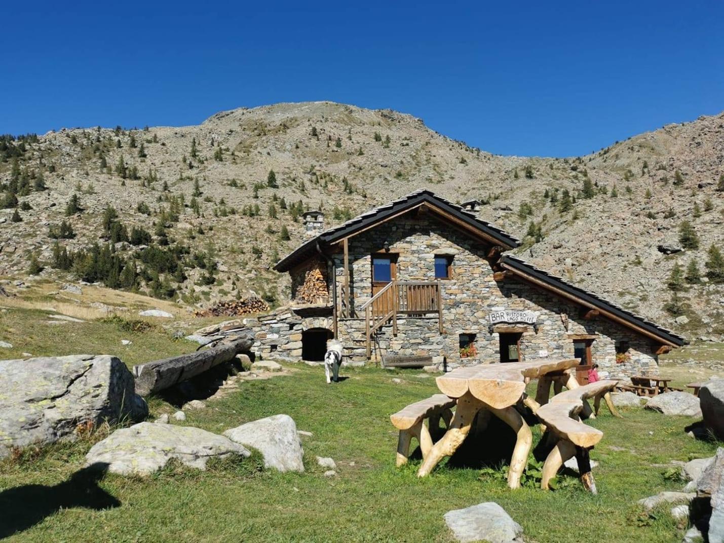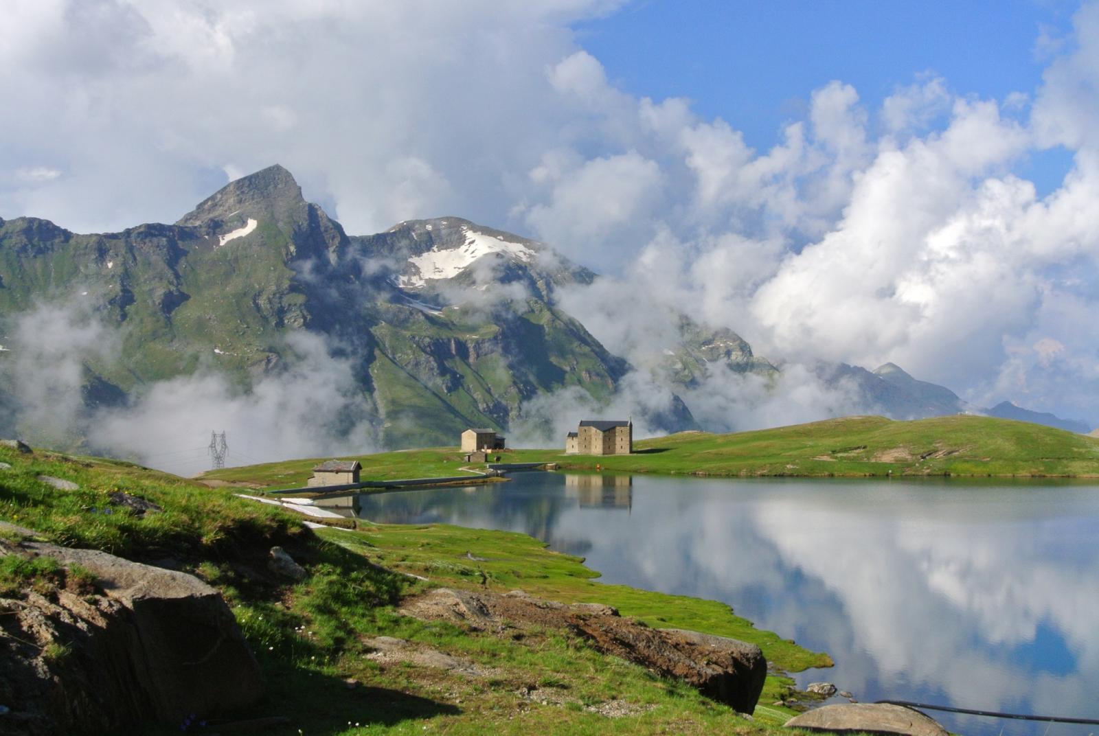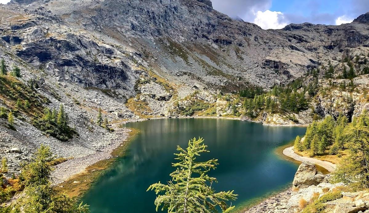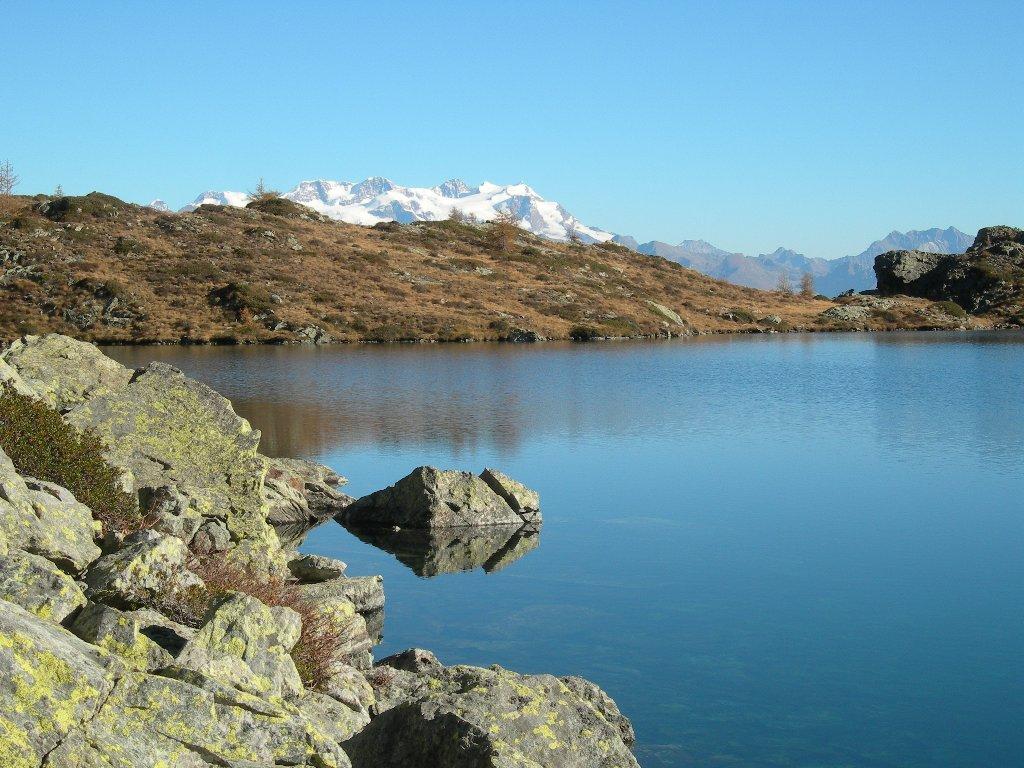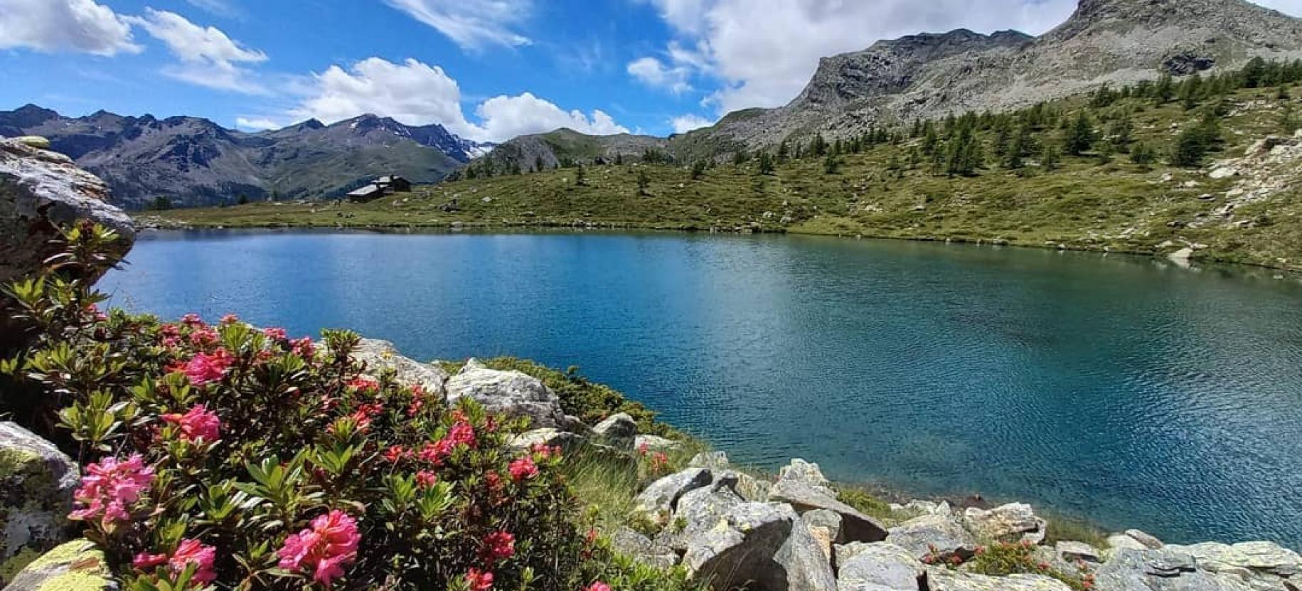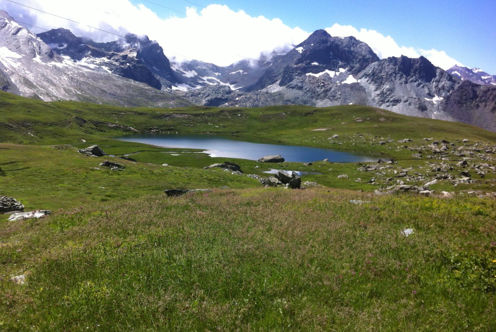
This hiking loop lets you explore the high-altitude area of Laris, offering a chance to immerse yourself in a stunning natural setting near the border with Piedmont. While it’s close to winter ski lifts (used to reach Laris-damon), the hike predominantly avoids urban areas, traversing wild landscapes with lakes and alpine pastures at high elevations. The route reveals a beautiful and serene place, far from the ski lifts (which are only used as transportation). The hike includes four lakes: Lake Laris, Lake Mulère, Lake Piana, and Lake Vercoche. Lake Vercoche provides incredible tranquility, making it perfect for a break by its deep blue waters. Despite being natural, the lake features a dam built in 1953. Although only 2 meters high, it holds over 965,000 m³ of water, covering both Lake Vercoche and Lake Piana. Lake Vercoche has a depth of 28 meters, and its waters supply the Vercoche stream and the Hône hydroelectric plant (down in the valley). The descent from Lake Vercoche offers panoramic views of the Monte Rosa massif and the Matterhorn.
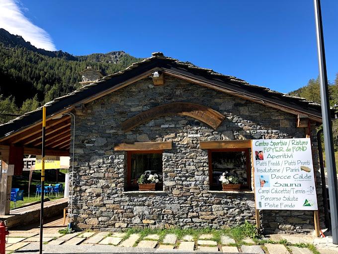
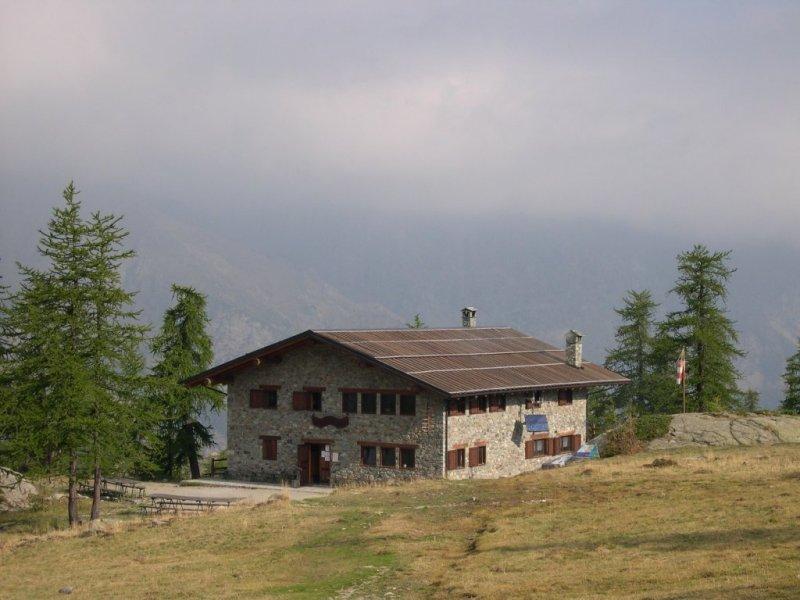
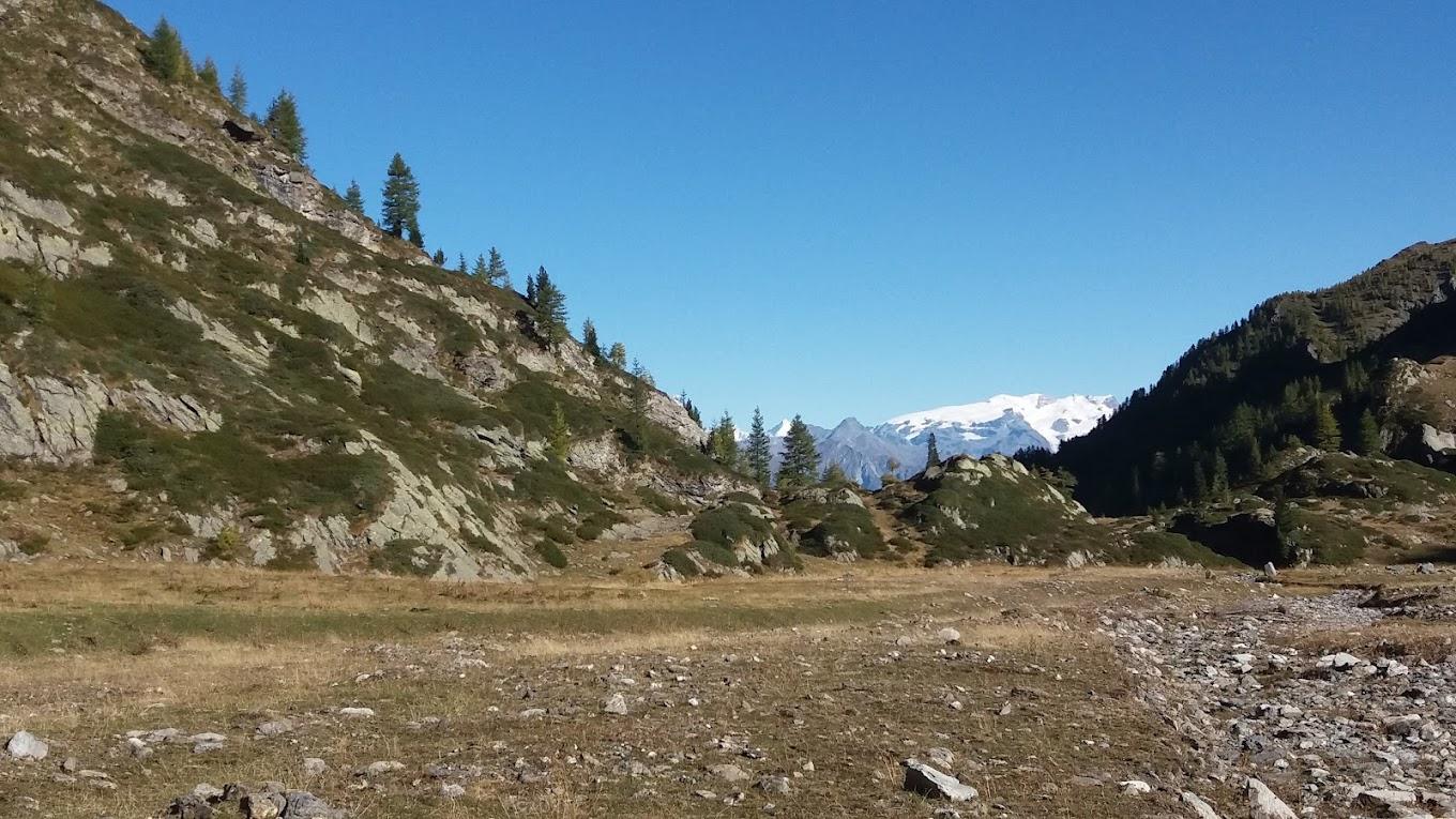
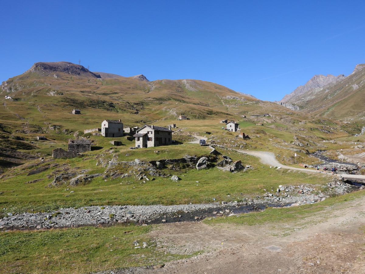
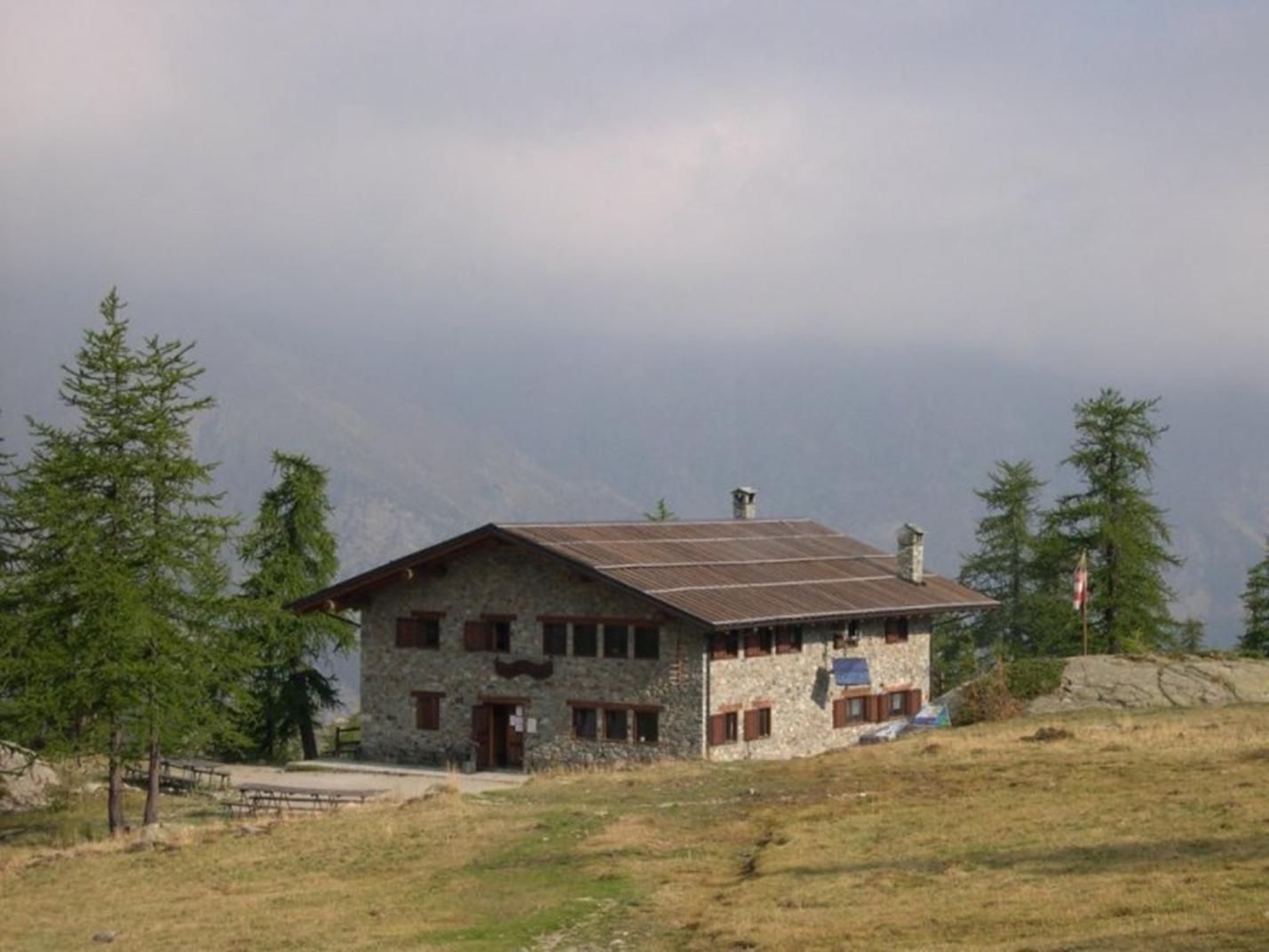
First Segment: Laris-damon – Col Laris (Trail n° 5D and 5B) After exiting the cable car, head right from Bar Laris and locate Trail n° 5D, which ascends through pastures and ski slopes now covered in dense grass. The trail might be less visible here, but don't worry. Aim for the clear endpoint of the Laris ski lift (the lift furthest to the left). Once you find the lift's endpoint, follow the dirt road downhill for a few meters, then find Trail n° 5B which climbs through the valley towards Col Laris. The trail ascends gently, away from the ski area, and is relatively clear thanks to several stone cairns. You'll pass the ruins of Gran Comba (2289 m a.s.l.) and reach a plateau where a prominent dirt road appears. Follow this road to the left; it crosses a stream and runs alongside Lake Laris (2493 m a.s.l.), leading to Col Laris (2584 m a.s.l.).
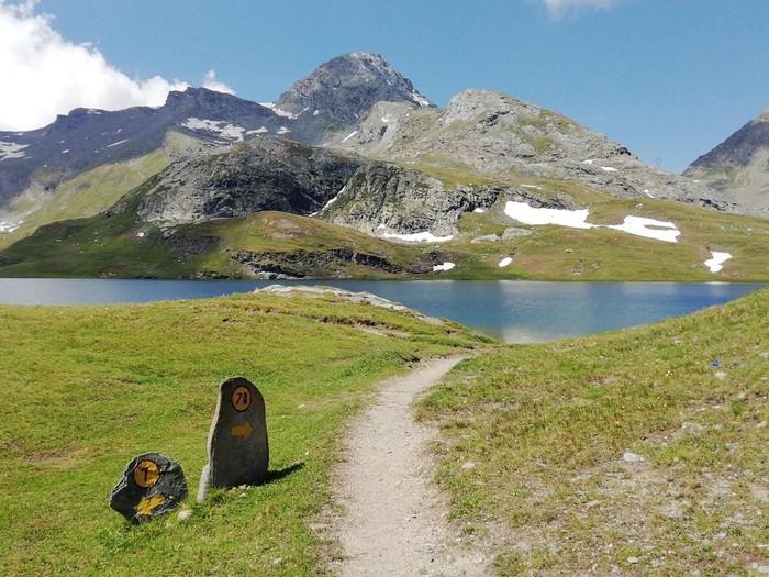
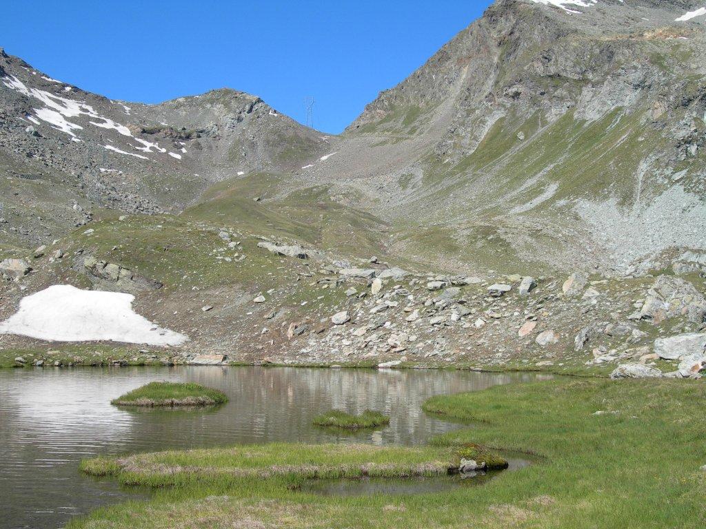
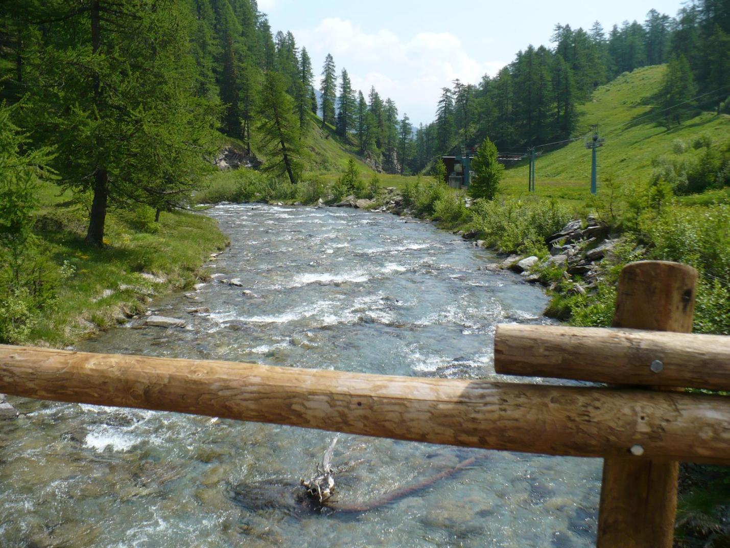
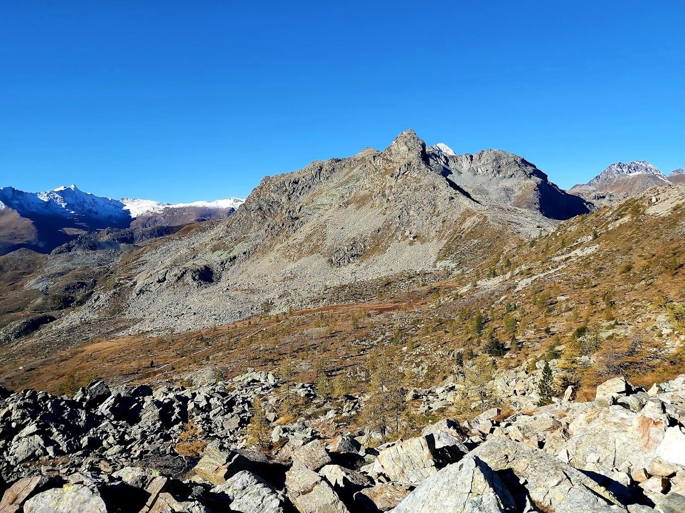
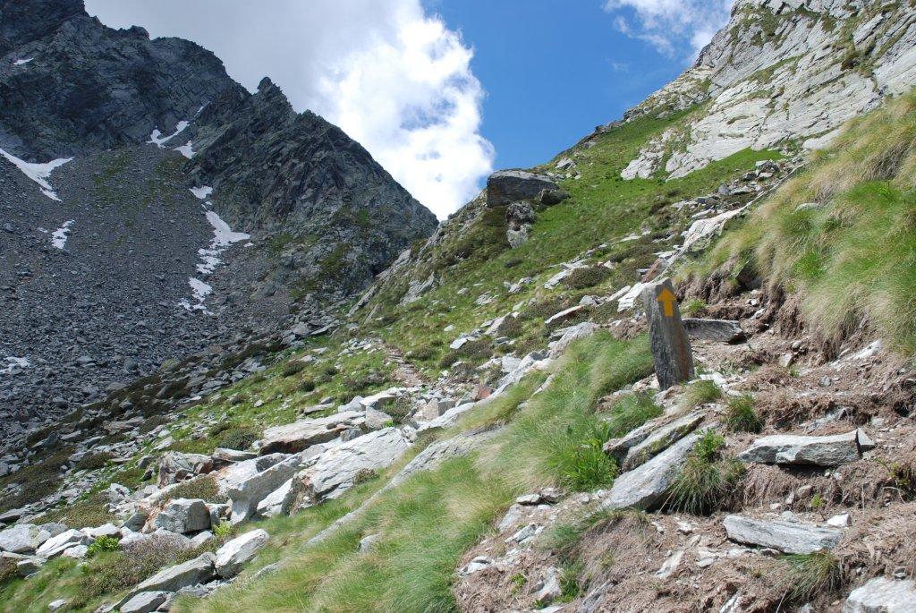
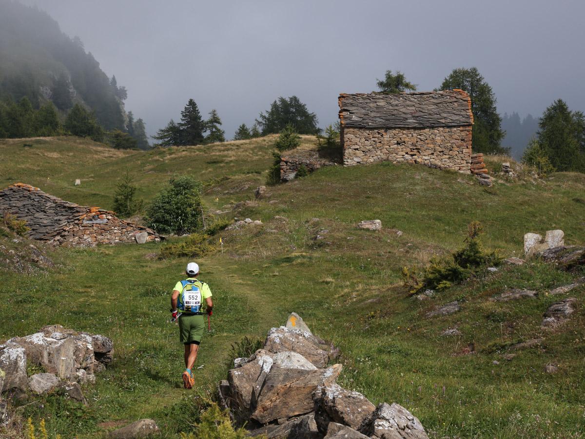
Second Segment: Col Laris – Lake Vercoche – Laris-damon (Trail n° 5) From Col Laris, facing Champorcher, you’ll notice a trail branching off to the right, passing under the large power line pylons. Follow this trail to a saddle between the two power lines. Descend into the valley leading to Lake Vercoche. This section of the trail might not always be obvious, so watch for cairns and markers. Although somewhat challenging to follow, the trail is relatively logical, running along the lower part of the valley before passing along a slight ridge to the left of Lakes Mulère (2305 m a.s.l.) and Piana (2246 m a.s.l.). Once at Lake Piana, find the trail descending left towards Lake Vercoche (2217 m a.s.l.). It’s advisable to take a break by the lake. After resting, follow the trail along the right side of the lake to the trail leading back to Laris-damon. This section is especially scenic and panoramic. From Lake Vercoche, the trail features a gradual but long ascent along a hillside, followed by a gentle descent, reaching a saddle with reddish rocks (2232 m a.s.l.). From here, you can enjoy views of the Monte Rosa and the Matterhorn, as well as the Laris area. The trail then descends left along the scree of the Bec Laris ridge, reaching a wet area among sparse trees. After about fifty meters, the trail sharply turns near a large rock, going right/downhill. It then descends to cross the Laris stream and follows the left bank. Continue on the trail with some ups and downs, leading you to the main dirt road. After about 600 meters, you’ll reach the cable car station again.
Technical Notes: Medium difficulty loop. The hike becomes significantly more challenging without the use of ski lifts, which reduce the total elevation gain and make the hike much more accessible to those with less physical preparation. The segment from Col Laris to Lake Vercoche is poorly marked and is recommended for more experienced hikers.
Variants:
- Col Laris (with ascent from Trail 5B and descent via Trail 5A; shorter loop but less interesting)
- Markers: 5D, 5B, 5A, 5
- Elevation Gain: 677 m
- Distance: 7 km
- Ascent Time (to Col Laris): 2h-2h30
- Return Time: 1h15-1h45
- Difficulty: E