Saturday, April 19: Ayas and Gressoney lifts and slopes open - Alagna side closed.
Check the lifts and slopes open until 21st April


Click here to check the operating hours of the Champoluc-Crest cable car

Ski mountaineering tracks: check here the status of the openings (tracks in green)

Valle di Champorcher

Champorcher

Rosa dei Banchi

By: Visit Champorcher

Route category: Alpinism

Duration: 10 hours

Length: 20000 m

Difficulty: High

Rosa dei banchi

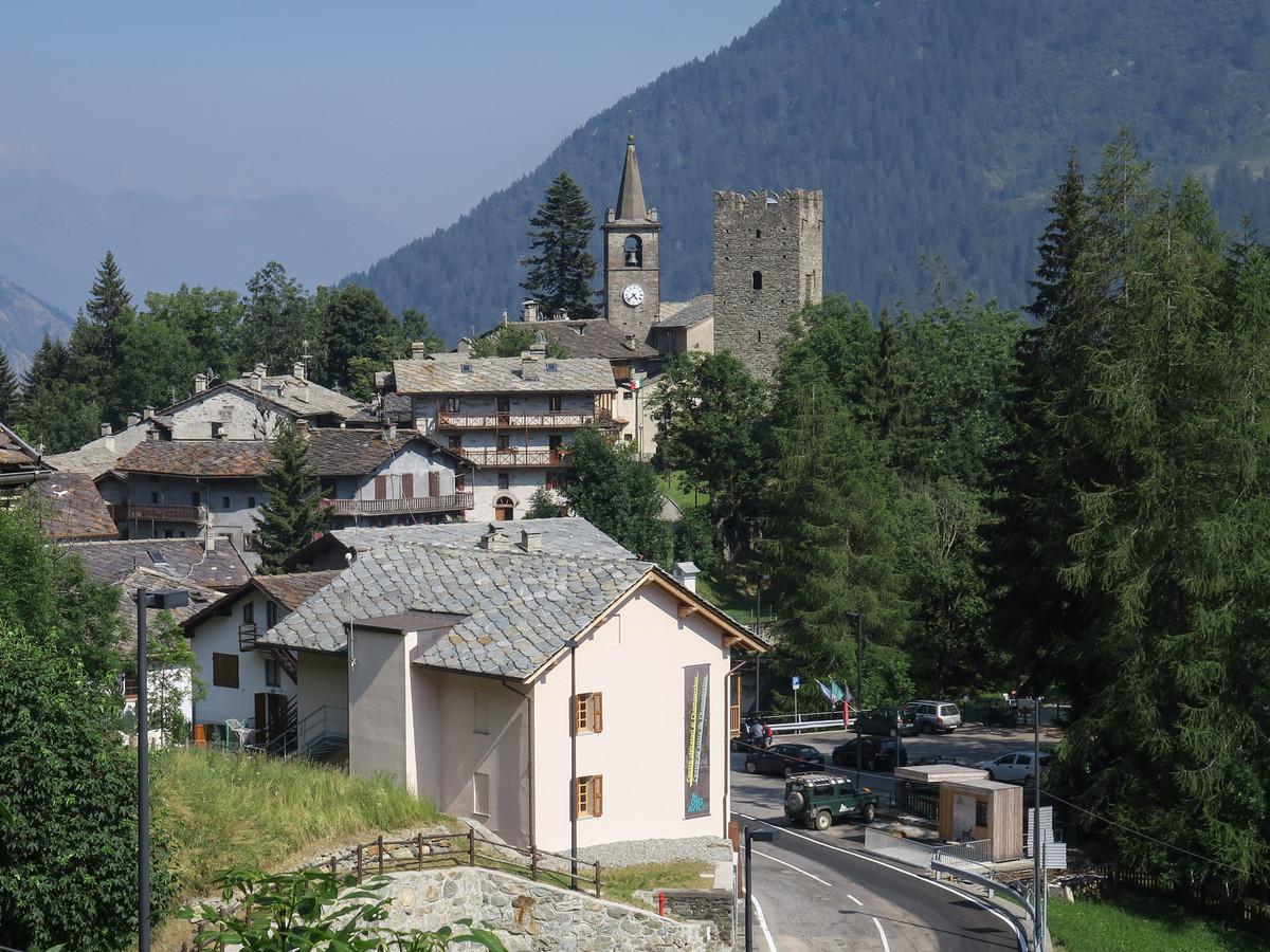
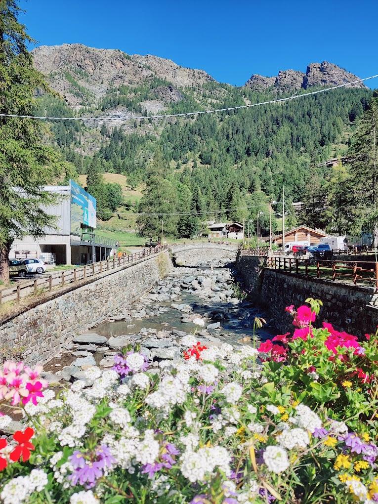
Rosa dei Banchi rises along the watershed ridge between the Champorcher Valley and the Val Soana (Piemonte). It is the only mountain in the area that still retains a small glacial mass, the Banchi Glacier, which clings to the slopes of the northern face, although it is now a dying glacier/rock glacier. Over the years, its mass has visibly decreased and, unfortunately, it is destined to disappear. This hiking circuit allows you to explore a very wild area of the Champorcher Valley, far from the most common tourist spots. The Vallone dei Banchi remains a highly pristine area where high mountain flora and fauna are still intact. The summit of Rosa dei Banchi, at 3164 meters above sea level, offers a unique panorama of the peaks of the Aosta Valley, the Gran Paradiso range, Mont Blanc, the Grand Combin, the Matterhorn, Monte Rosa, and the entire Lower Aosta Valley; as well as Piemonte, particularly the Val Soana, the Po Valley, and the Monviso range. This hiking circuit will amaze you with the natural and scenic beauty of this magical and wild place.

Ascent Section: Piazzale Dondena – Vallone dei Banchi – Rosa dei Banchi (Trail n° 6B/6C, Vallone dei Banchi Trail, 7, and West Ridge of Rosa dei Banchi)

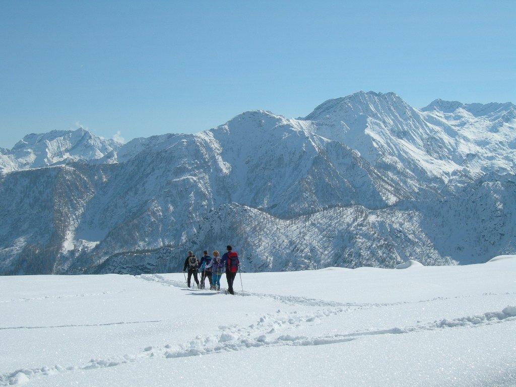
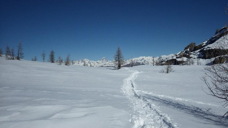
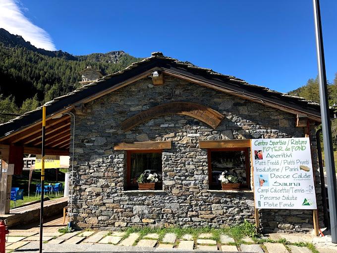
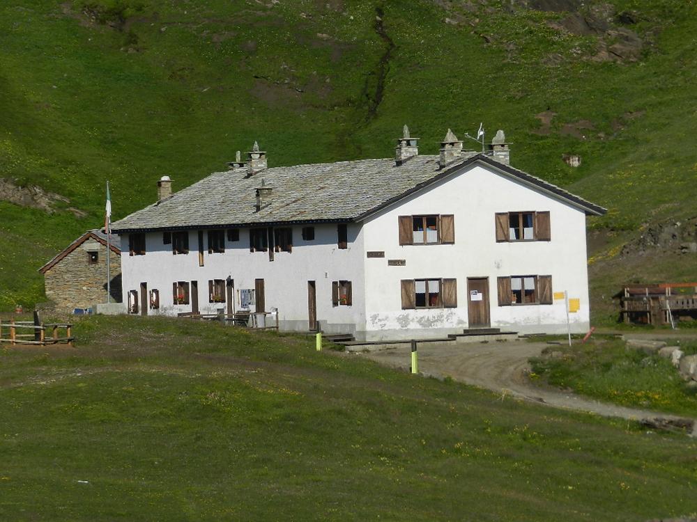
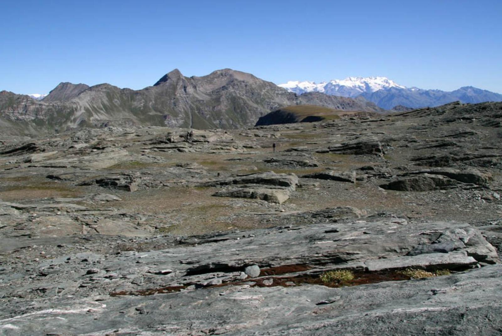
After parking your car, ascend to the Dondena Refuge (2185 meters above sea level) via the dirt road, an old royal road, which passes by several former hunting lodges. Once you reach the refuge, leave the dirt road that ascends to the right of the refuge and take the dirt road on the left (heading towards Cimetta Rossa). Continue on the dirt road for a few hundred meters until you reach the junction on the right for Trail n° 7/6B/6C (at about 2230 meters above sea level). Turn right and follow Trail n° 7 for about a hundred meters. Then, at a junction at approximately 2250 meters above sea level, take Trail n° 6B/6C to the left towards Pian di Roche. Follow Trail n° 6B/6C into the wild Vallone dei Banchi. The trail, always fairly clear, traverses the entire lower part of the valley, remaining on the left bank, following the slight incline of a small stream. As the valley narrows, it becomes more detrital. There are some cairns (not always visible), and you climb a short grassy slope that leads to the upper moraine plateau, still following the stream on the left bank. Here, the trail becomes less visible, but some cairns are still present. Continue to the right, then turn left near a large boulder in the center of the valley. When you see it, turn left and, scrambling over scree, start climbing the moraine of the former glacier, aiming for the first large (non-perennial) snowfield supported by a rock face. Cross the ice-snow area and, passing some rocks, you will reach the basin of the Banchi Glacier (receding). After crossing this semi-glacial area, you will find a trail leading to the Rosa dei Banchi Col (2958 meters above sea level) over loose terrain (the trail you encountered is the one ascending from Lake Miserin; Trail n° 7, which you will use for the descent).

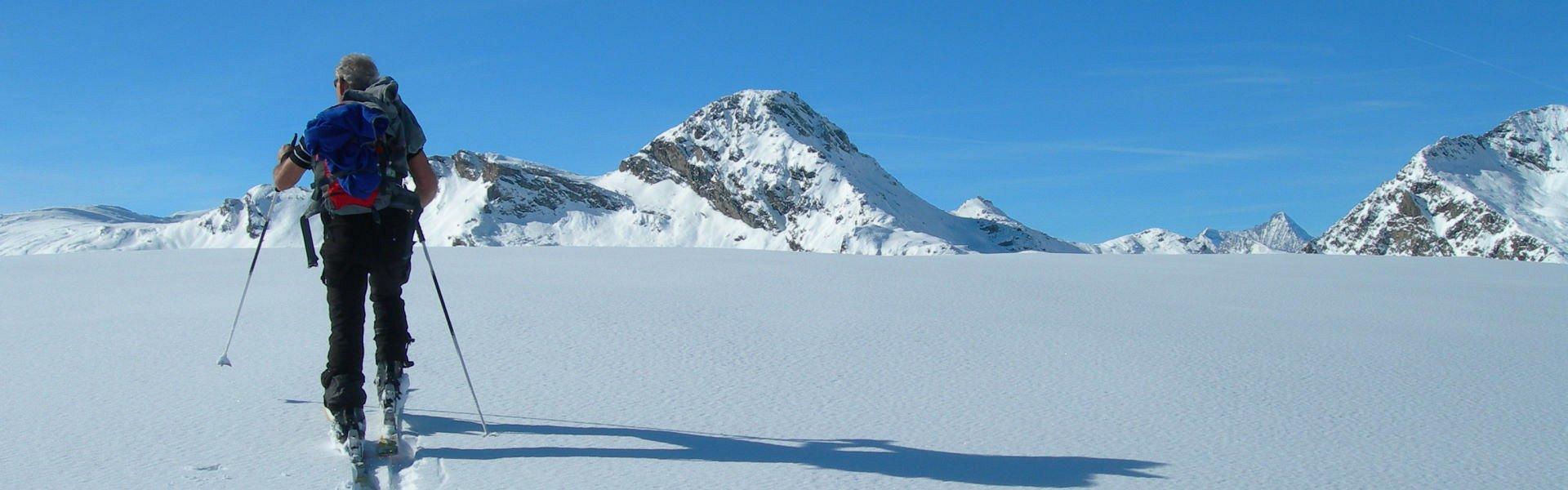
From the col, continue to gain the west ridge almost immediately via a series of grassy terraces. The ridge is not particularly difficult and has sections with trail traces/cairns, until you encounter a noticeable rock step. You tackle this from the left along a ledge that leads beneath a diagonal crack to the right, which leads back to the ridge (10 meters of grade II). You then follow the ridge, which becomes easier, and do not leave it until you reach the summit of Rosa dei Banchi at 3164 meters above sea level.

Descent Section: Rosa dei Banchi – Lake Miserin – Piazzale Dondena (Trail n° West Ridge of Rosa dei Banchi and 7)

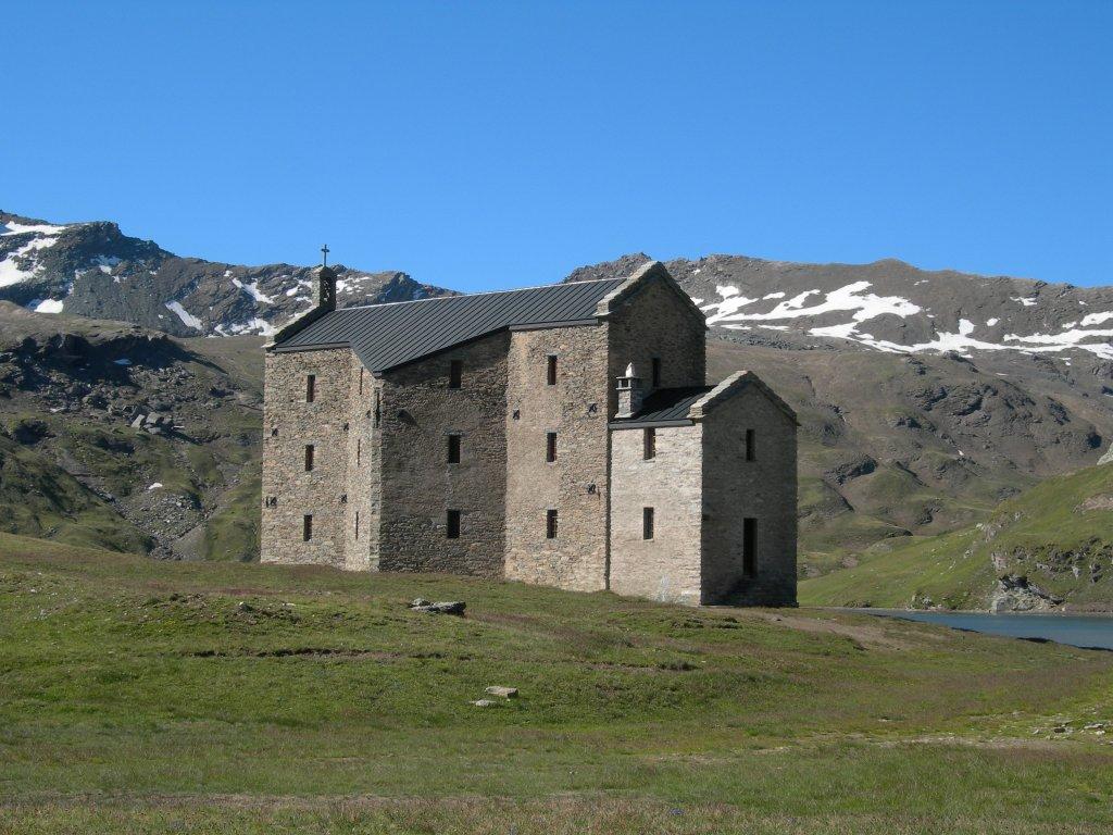
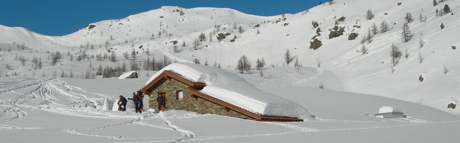
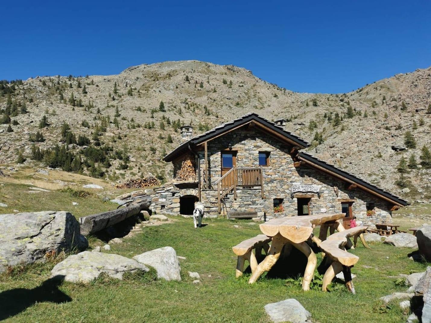
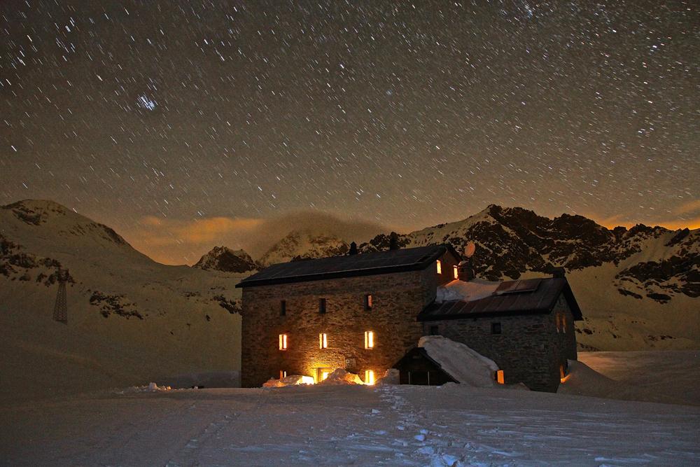
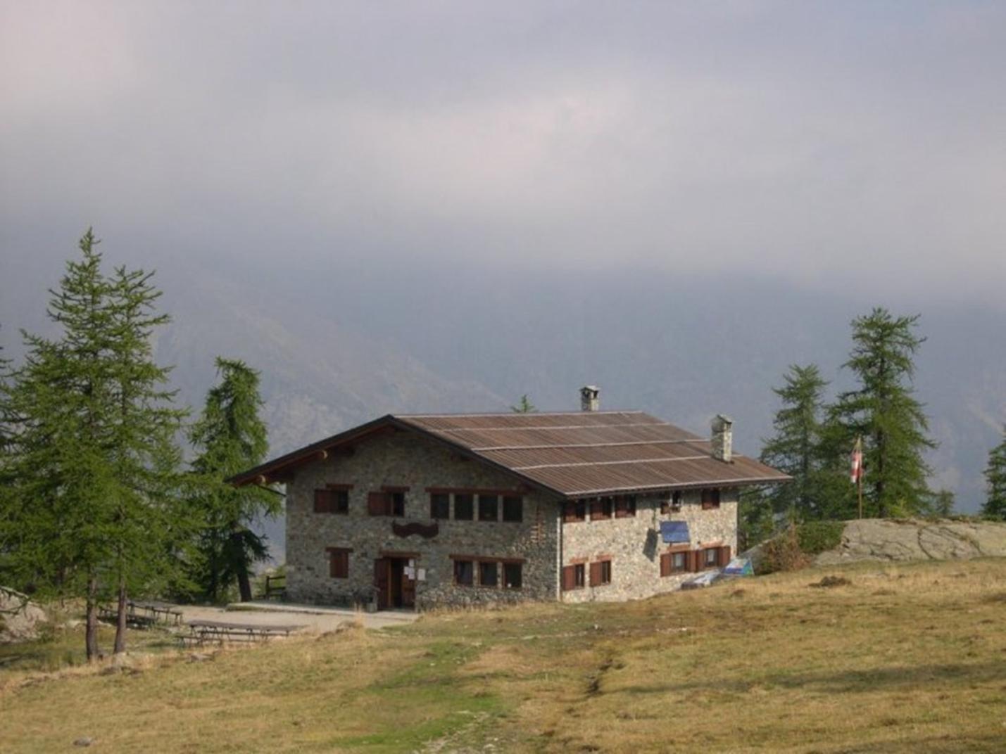
Descend to the Rosa dei Banchi Col (2958 meters above sea level) by following the same route as the ascent. From the col, find the trail descending to Lake Miserin (a trail you have partly already traversed on the way up). However, this trail is not always obvious but descends the detrital slope and then gradually descends the various moraine terraces below, following the cairns along the route (generally aiming towards the right bank of Lake Miserin). The trail continues on the moraine terraces until you find the obvious trail on the right bank of Lake Miserin. Follow this trail to find the junction where Trail n° 7 descends towards the Dondena Refuge (to the right). We recommend a short round-trip detour of about 5 minutes to visit the area of the Refuge and the Miserin Sanctuary and to take a well-deserved break. Then follow the beautiful Trail n° 7 through clearings and alpine pastures until you reach the Dondena Refuge, from where you can return to the parking area.

Technical Notes:

This is a long and demanding hike, recommended for experienced high-mountain hikers, capable of navigating scree with vague trail markings and ridges with exposed and potentially dangerous sections. If lacking these skills, it is strongly advised to be accompanied by a mountain guide.

Details of the tour

Properties

Typology: Alpinism

Difficulty: High

Ascent: 1065 m

Duration: 10 hours

Distance: 20000 m

Where

Start point
Piazzale Dondena 2100 m s.l.m.

Get me there

Mobility

leave the car in the parking spaces on the sides of the dirt road

Destination
Rifugio Dondena

Find nearby

Santuario del Miserin

2.55km

Valle di Champorcher

Culture

Miserin Lake Virgin Mary

Miserin, 11020 Champorcher AO

Ecomuseo della Canapa

4.56km

Valle di Champorcher

Culture

Hemp eco-museum

Località Chardonney , 11020 Champorcher AO

Champorcher

5.62km

Valle di Champorcher

Culture

Medieval tower and parish church

Champorcher, 11020 Champorcher AO

Cappella del gom

10.86km

Valle di Champorcher

Culture

Chapel of Gom

Cappella del Gom, 11020 Pont-Bozet AO

Champorcher

Alpinism

4.65km

Valle di Champorcher

Adrenaline

Dry Tooling

Aplinismo

Alpinism

5.60km

Valle di Champorcher

Adrenaline

Approach to Mountaineering

Cima piana

Snowshoeing and ski touring

6.18km

Valle di Champorcher

Ski

Cima Piana

Duration: 2 hours 30 minutes

Length: 6800 m

Col la Croix

Snowshoeing and ski touring

6.62km

Valle di Champorcher

Ski

Col La Croix

Duration: 3 hours

Length: 7150 m

Rascias

Snowshoeing and ski touring

7.20km

Valle di Champorcher

Ski

Rascias

Duration: 3 hours 40 minutes

Length: 9500 m

Ciaspole

Snowshoeing and ski touring

27.74km

Valle di Champorcher

Ski

The breath of the old larch

Duration: 40 minutes

Length: 3001 m

Champorcher

Snowshoeing and ski touring

27.74km

Valle di Champorcher

Ski

The chamois route

Duration: 2 hours 30 minutes

Length: 5500 m

Minimarket Gabry Champorcher

4.50km

Valle di Champorcher

In town

MINIMARKET GABRY

Frazione Chardonney, 120, 11020 champorcher AO

Trottola

4.51km

Valle di Champorcher

Culture

La Trottola Champorcher

Frazione Chardonney 120 B, 11020 Champorcher AO

Champorcher Pharmacy

5.49km

Valle di Champorcher

Wellness

CHAMPORCHER PHARMACY

Frazione Vignat n° 24, 11020 champorcher AO

5.60km

Valle di Champorcher

In town

BUTCHER’S SHOP DE ROSSO ISIDORO

loc. Chateau 9, 11020 Champorcher AO

Birrificio

5.63km

Valle di Champorcher

Food

Birrificio Champorcher

Champorcher, 11020 Champorcher AO

Negozio

27.74km

Valle di Champorcher

Wellness

AZIENDA AGRICOLA MONTIFLOR L’ERBA DEL VICINO

FRAZIONE Chardoney, 38, 11020 Champorcher AO

Ski man – bar restaurant

4.43km

Valle di Champorcher

Ski man – bar restaurant

Loc. Chardonney 88, 11020 Champorcher AO

4.50km

Valle di Champorcher

Bistrot De l’Abbe

Frazione Chardonney 120/A, 11020 Champorcher AO

Bar ristoro lago muffe

5.07km

Valle di Champorcher

BAR RISTORO LAGO MUFFE’

Lago Muffe, 11020 champorcher AO

Bar

5.14km

Valle di Champorcher

Bar Le Foyer du Fond Champorcher

località Le Vignat 18, 11020 Champorcher AO

le relais des reines

6.46km

Valle di Champorcher

RESTAURANT LE RELAIS DES REINES

Frazione Vigneroisa, 8, 11020 Champorcher AO

Restaurant mellier

6.80km

Valle di Champorcher

RESTAURANT BAR MELLIER

frazione mellier 85, 11020 CHAMPORCHER AO

Le Moulin Des Aravis

8.87km

Valle di Champorcher

RESTAURANT LE MOULIN DES ARAVIS

Frazione Savin, 55, 11020 Pontboset AO

Restaurant Chez Isabel

10.42km

Valle di Champorcher

RESTAURANT CHEZ ISABEL

Loc. Pont Bozet 96, 11020 Pontboset AO

Dondena Refuge

0.02km

Valle di Champorcher

DONDENA REFUGE

Località Dondena, 11020 Champorcher AO

Miserin Refuge

2.56km

Valle di Champorcher

MISERIN REFUGE

Lago Miserin, 11020 Champorcher AO

Revivre Village

4.40km

Valle di Champorcher

REVIVRE VILLAGE | Adults Only

Frazione Ronchas 11, 11020 Champorcher AO

REVIVRE VILLAGE

4.41km

Valle di Champorcher

REVIVRE VILLAGE

Fraz. Ronchas 11, CHAMPORCHER AO

Book now

Maison Nicole

4.47km

Valle di Champorcher

Maison Nicole

fraz. Chardonney 94, 11020 Champorcher AO

4.54km

Valle di Champorcher

HOTEL PETIT PARADIS

fraz. Chardonney, 11020 Champorcher AO

Rifugio barbustel

5.04km

Valle di Champorcher

Rifugio Barbustel

Località Lago Bianco, 11020 Champdepraz AO

ALBERGO CASTELLO DA BONINO

5.60km

Valle di Champorcher

ALBERGO CASTELLO DA BONINO

Loc.Castello, 53, CHAMPORCHER AO

Book now

Albergo castello

5.64km

Valle di Champorcher

HOTEL CASTELLO

Località Castello, 53, 11020 Champorcher AO

Relais des reines

6.46km

Valle di Champorcher

FARMHOUSE LE RELAIS DES REINES

Frazione Vigneroisa, 8, 11020 Champorcher AO

Casa Verana

6.60km

Valle di Champorcher

CASA VERANA

fraz. Verana 33, 11020 Champorcher AO

6.60km

Valle di Champorcher

B&B LA BRENVA

Fraz Verana 49, 11020 Champorcher AO

Hotel restaurant Beausejour

6.65km

Valle di Champorcher

Hotel restaurant Beausejour

Frazione Lore' 1, 11020 Champorcher AO

8.57km

Valle di Champorcher

B&B LA BORMA DI POMBO

loc Barmacrepa 4, 11020 Pontboset AO

Le Moulin Des Aravis

8.82km

Valle di Champorcher

LE MOULIN DES ARAVIS

loc. Savin 55, 11020 Pontboset AO

AGRITURISMO LE MOULIN DES ARAVIS

8.89km

Valle di Champorcher

AGRITURISMO LE MOULIN DES ARAVIS

frazione Savin, n. 55, PONTBOSET AO

Book now

Li Tzatagni

10.00km

Valle di Champorcher

LI TZATAGNI

fraz La Chateigne, 11020 Pontboset AO

CHAMBRES D'HOTES LI TZATAGNI

10.03km

Valle di Champorcher

CHAMBRES D'HOTES LI TZATAGNI

fraz. Chateigne, PONTBOSET AO

Book now

HOTEL CHEZ ISABEL

10.42km

Valle di Champorcher

HOTEL CHEZ ISABEL

Fraz. Pont-Bozet, 95, PONTBOSET AO

Book now

Hotel ristorante Chez Isabel

10.42km

Valle di Champorcher

HOTEL CHEZ ISABEL

Loc. Pont Bozet 96, 11020 Pontboset AO

On the same topic

Ciaspole

Snowshoeing and ski touring

Valle di Champorcher

Ski

The forest of wonders

Duration: 1 hour

Length: 1500 m

Ciaspole

Snowshoeing and ski touring

Valle di Champorcher

Ski

The breath of the old larch

Duration: 40 minutes

Length: 3001 m

Champorcher

Snowshoeing and ski touring

Valle di Champorcher

Ski

The chamois route

Duration: 2 hours 30 minutes

Length: 5500 m

Col la Croix

Snowshoeing and ski touring

Valle di Champorcher

Ski

Col La Croix

Duration: 3 hours

Length: 7150 m