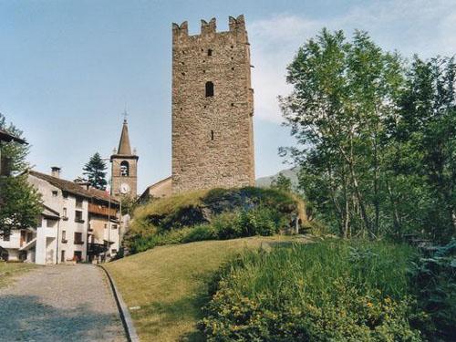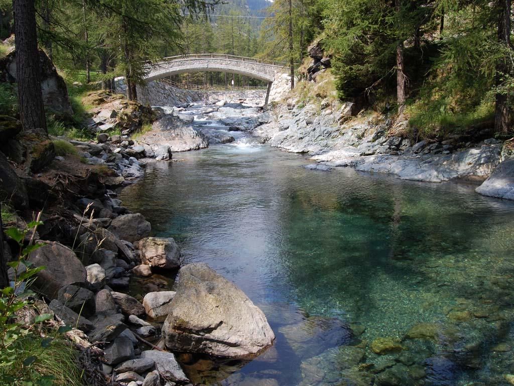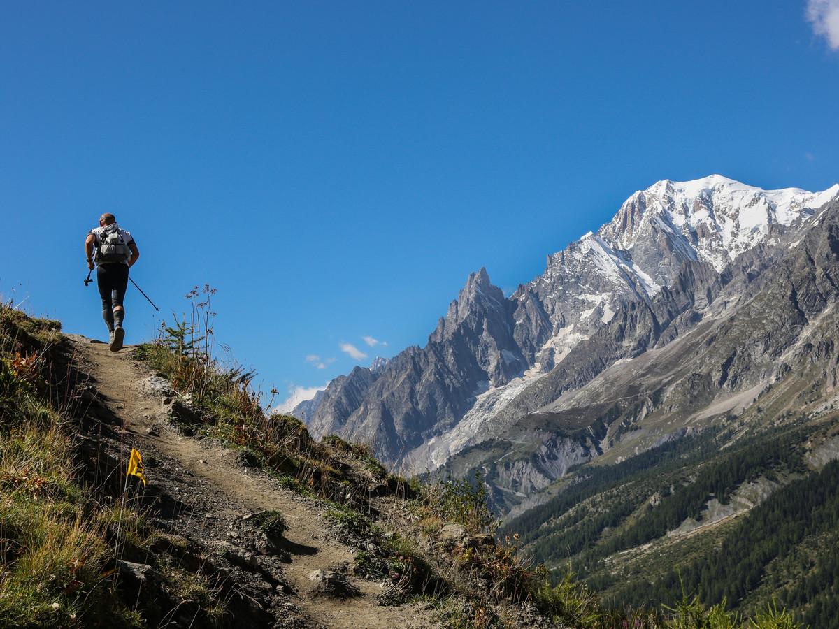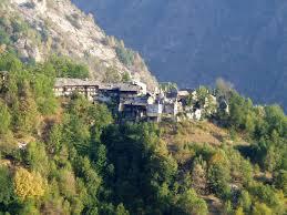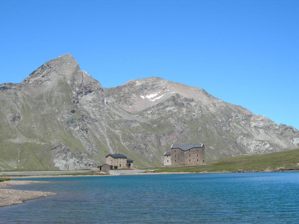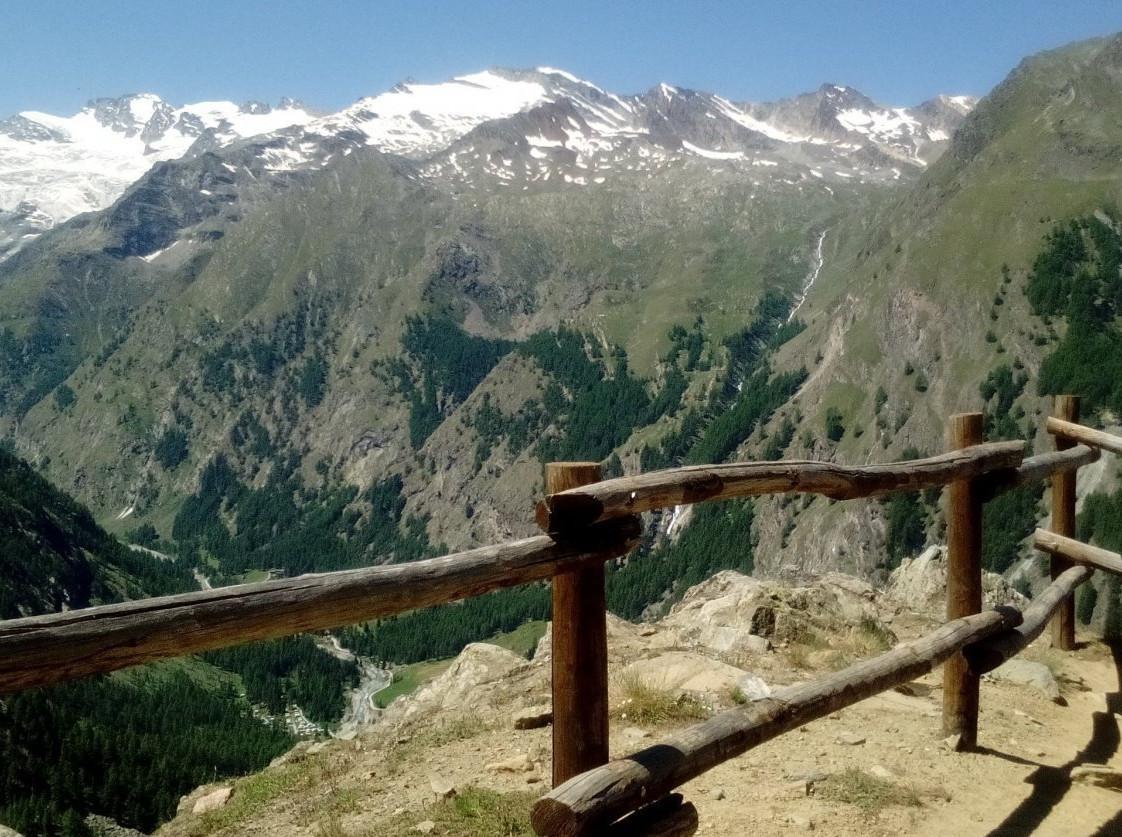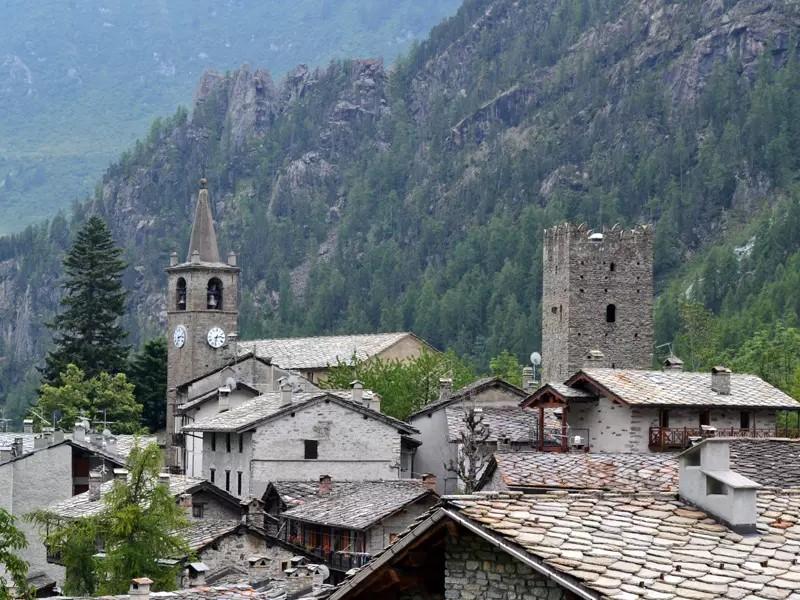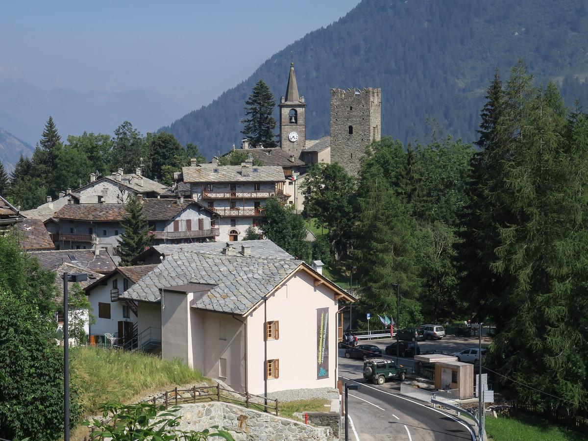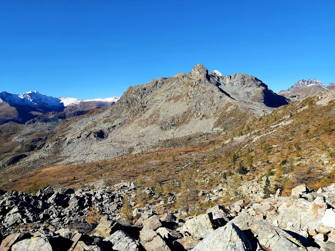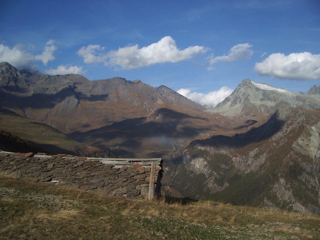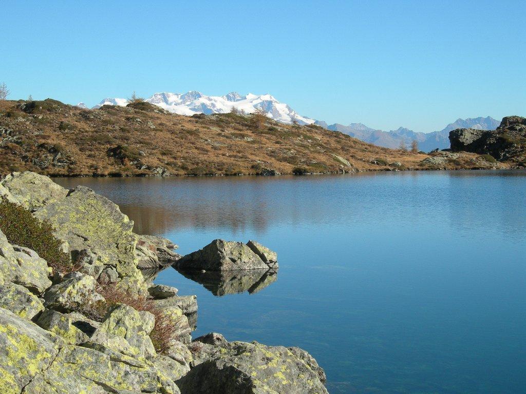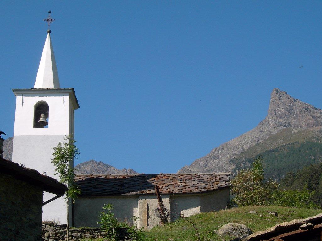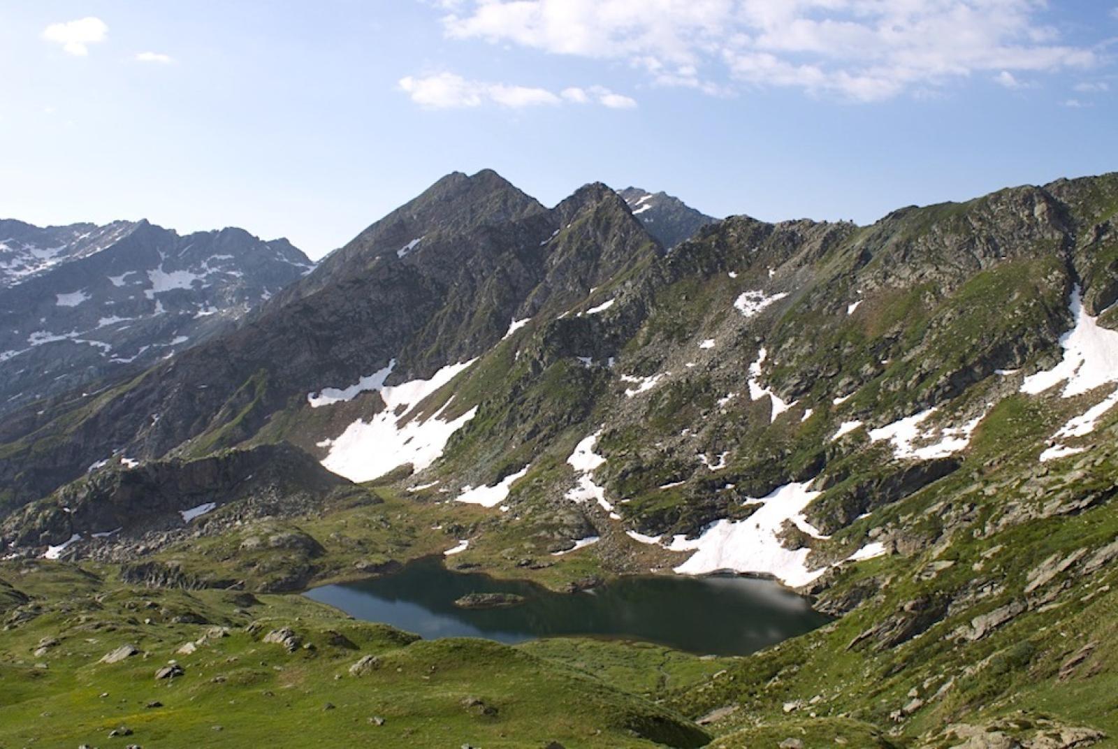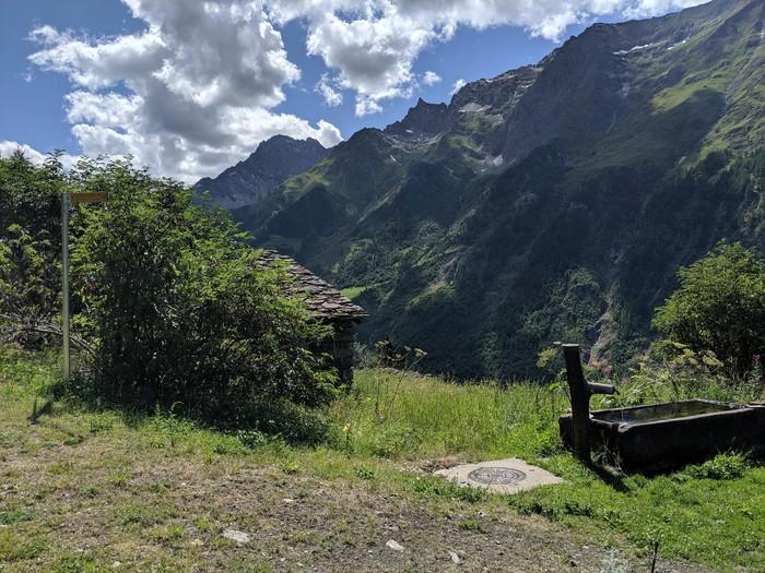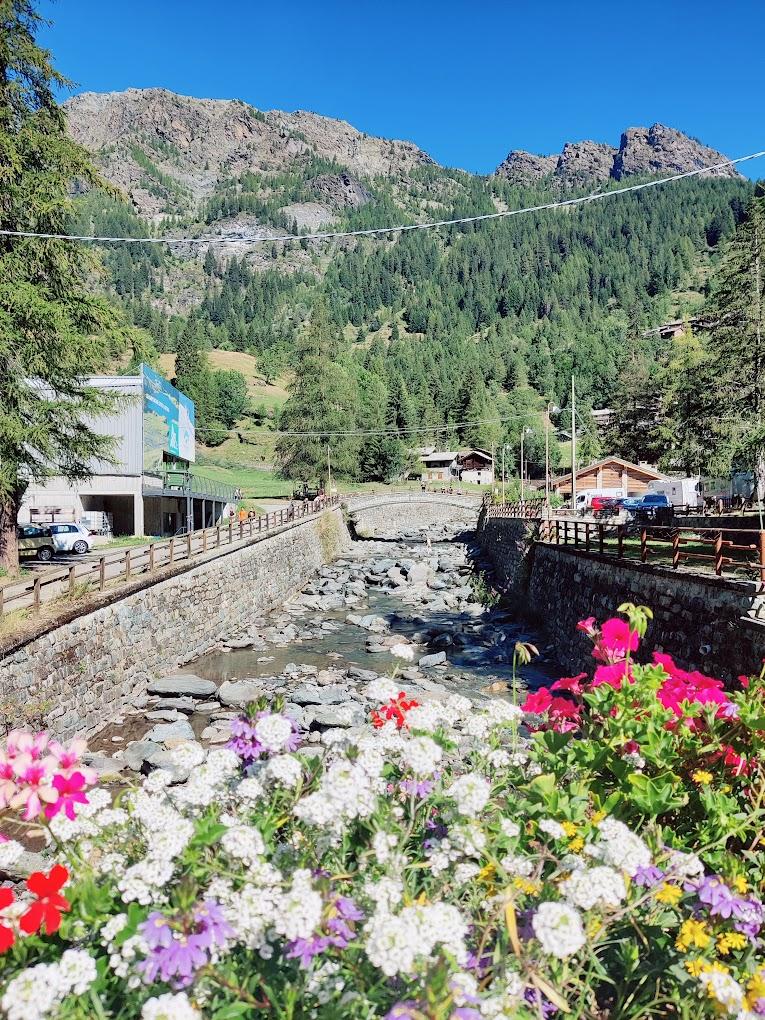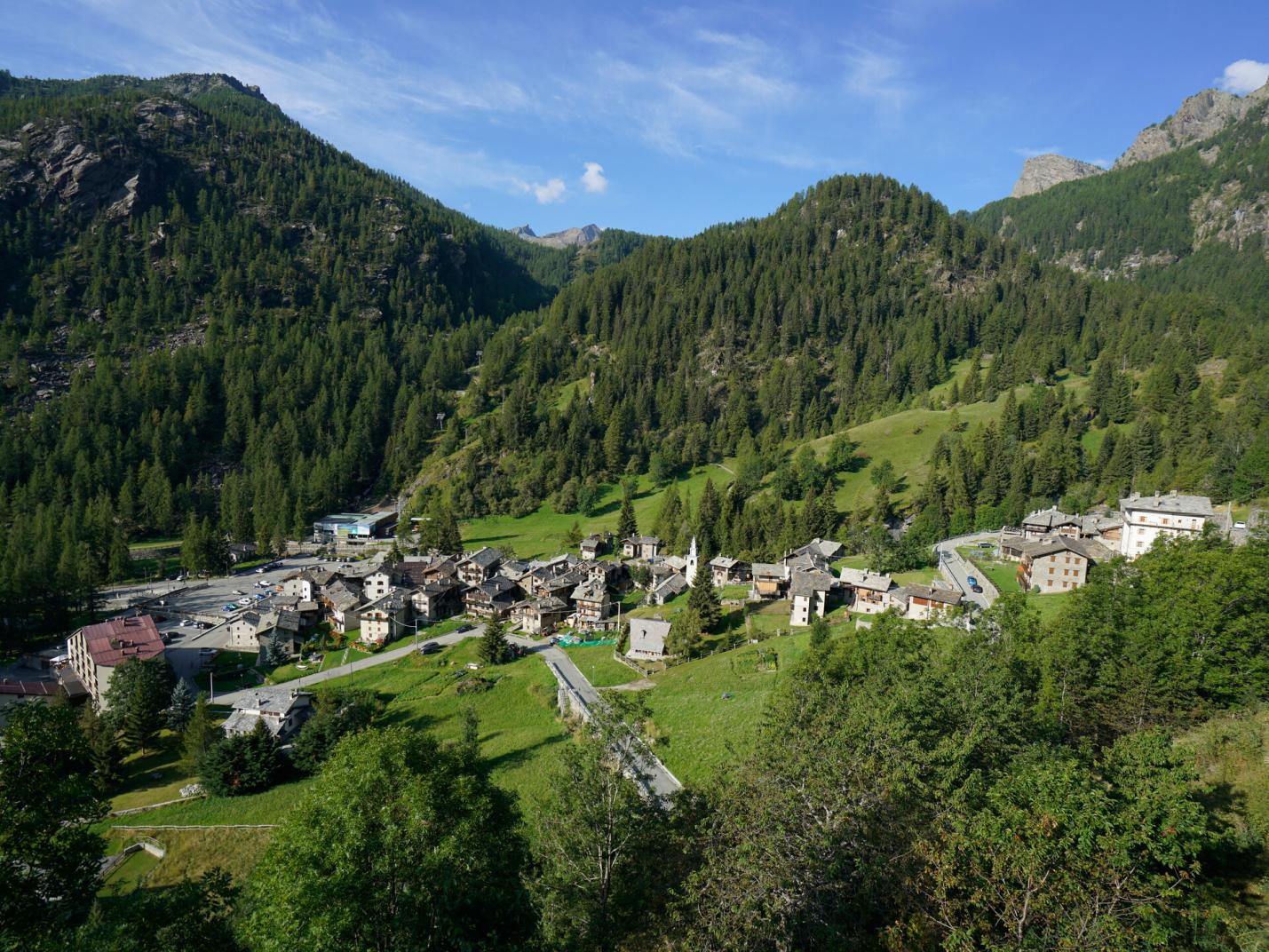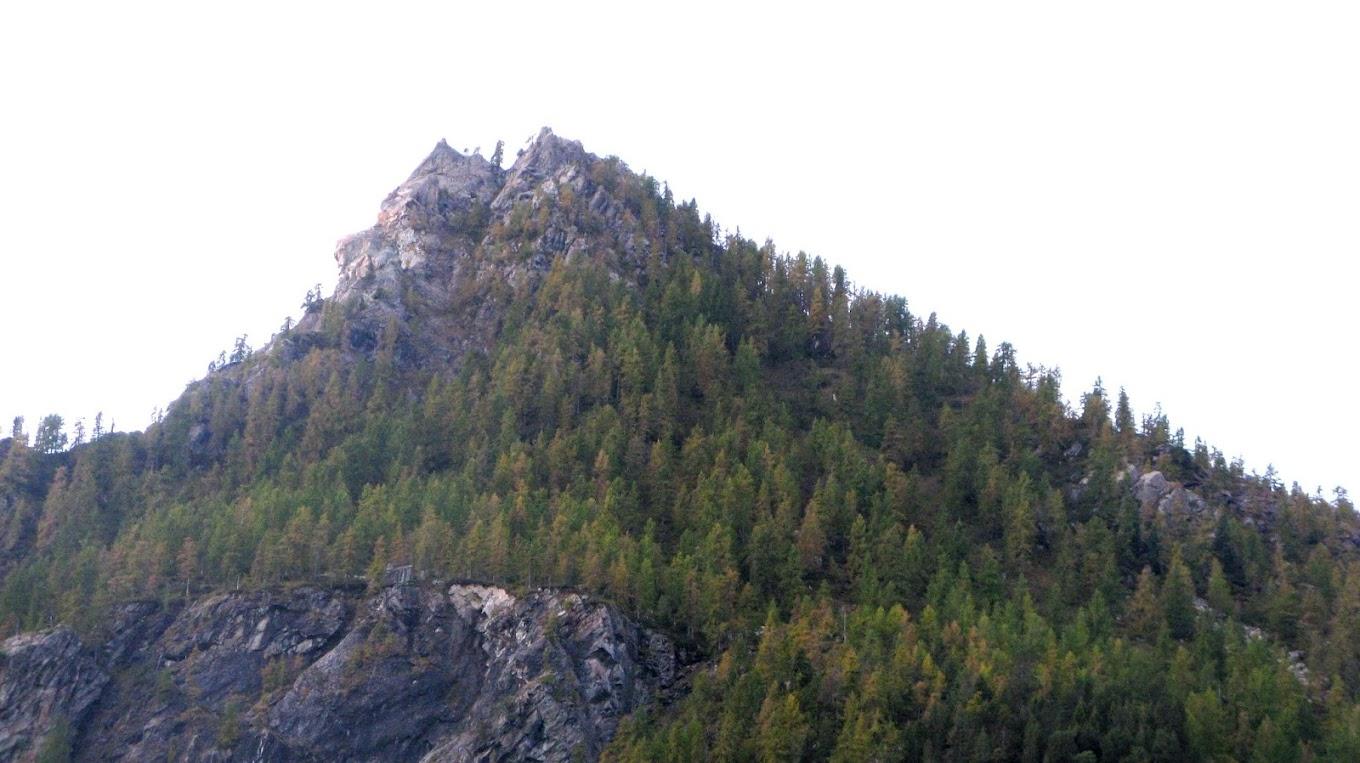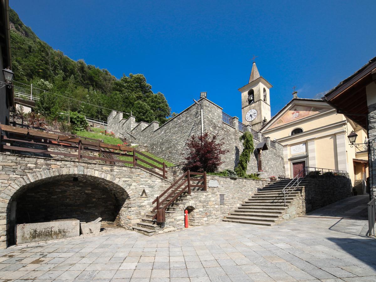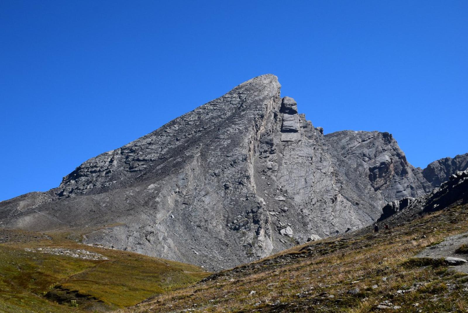
This hiking loop explores some of the lesser-known natural areas of the Champorcher Valley, traversing alpine pastures and forests. The hike has particular naturalistic interest, allowing you to discover the flora and fauna of the valley’s woods and pastures. The peak of Zuc offers a delightful panorama of the Champorcher Valley. Additionally, you will have the chance to visit the hamlet of Castello/Château, the main center of the municipality, characterized by the Church of San Nicola, the old tower of the now-vanished medieval castle dating back to the XI or XII century, and several historic houses and rascards. You will also find a visitor center for the Mont Avic Natural Park.
First Section: Castello – Zuc (trail no. 12A – 11A)
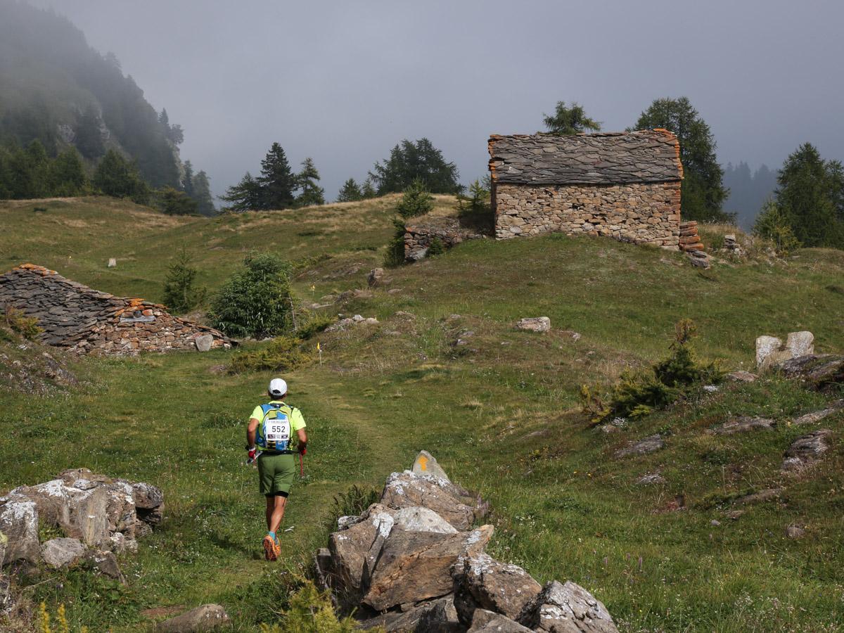
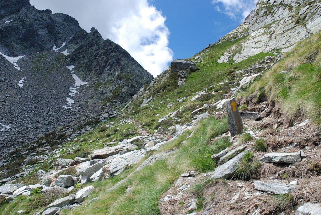
After leaving the car, head towards the municipality of Champorcher and then to the hamlet of Gontier. Cross through Gontier and find trail 12A which climbs through the forest. After a few meters, at an altitude of 1465 m a.s.l., you will reach a fork where you should take the left trail (avoid trail no. 12B on the right). Continue on trail no. 12A, which crosses through woods, pastures, and several times the regional road, until you reach the hamlets of Arbussey and then Grand Mont Blanc. From Grand Mont Blanc, follow the paved road towards Petit Mont Blanc until you find the trail that ascends towards La Cort. Follow the trail/mule track which, after a few hundred meters, leads you to the Remoran parking area. From here, find trail no. 11/11A which skirts the pastures of the La Cort alpine pasture until it enters the forest. The trail continues at mid-level to the right in the forest, crossing some ravines and scree, until it reaches the Zuc forest. Arriving at a small clearing, at about 1870 m a.s.l., find the trail on the right leading up to the summit of Zuc (1890 m a.s.l.).
Second Section: Zuc – Castello (trail no. 11A – 12)
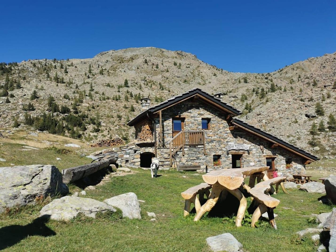
From the summit of Zuc, return to the small clearing and continue on trail no. 11A, which descends to the Arcomy alpine pasture. Be careful not to go all the way down to the pastures of the alpine pasture but find trail no. 12, which descends to the right through the sparse forest, remaining in the border area between forest and pasture. After a few hundred meters, you will reach a large clearing. From here, the trail cuts decisively to the right towards Castello. Follow trail no. 11A, crossing the dense forest and passing near an old ruin, until you reach the hamlets of Gontier and then Castello. It is recommended to take a well-deserved break at one of the various restaurants/bars in the village.
Variants:
- Punta dello Zuc (with ascent and descent from Remoran/Petit Mont Blanc)
Trail: 11A
Elevation Gain: 219 m
Distance: 2 km (one way)
Ascent Time: 45 min – 1h15
Descent Time: 30 min – 1h approx.
Difficulty: Easy - Punta dello Zuc (with ascent and descent from Petit Rosier)
Trails: 13 – 11A
Elevation Gain: 460 m
Distance: 2.8 km (one way)
Ascent Time: 1h45 – 1h30
Descent Time: 1h approx.
Difficulty: Easy