Saturday, April 19: Ayas and Gressoney lifts and slopes open - Alagna side closed.
Check the lifts and slopes open until 21st April


Click here to check the operating hours of the Champoluc-Crest cable car

Ski mountaineering tracks: check here the status of the openings (tracks in green)

Valle di Champorcher

Champorcher

Orrido delle Goilli di Pourtset

By: Visit Champorcher

Route category: Trekking

Duration: 2 hours

Length: 4000 m

Difficulty: Medium

Orrido delle Goilli

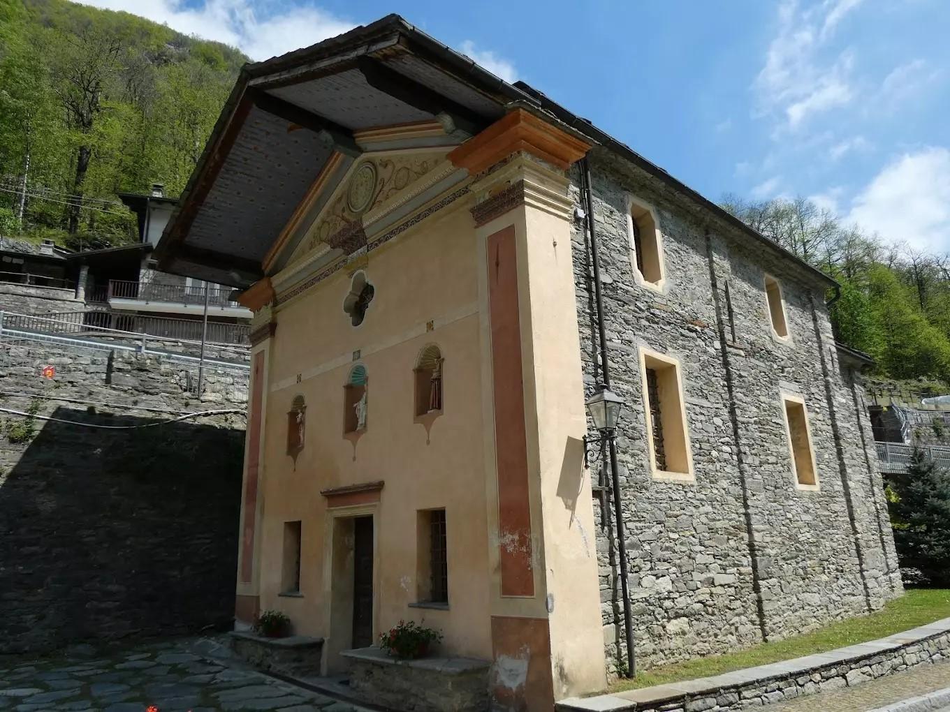
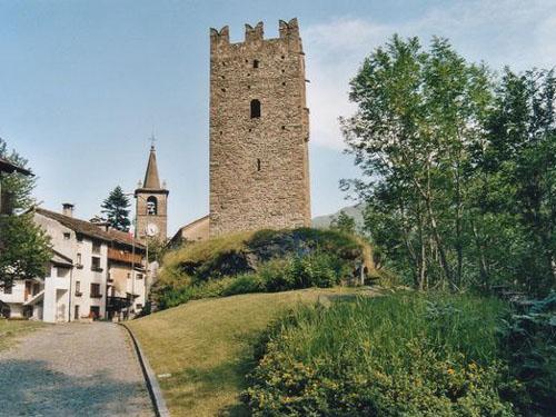
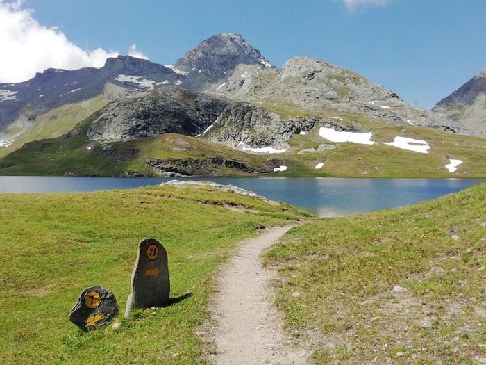
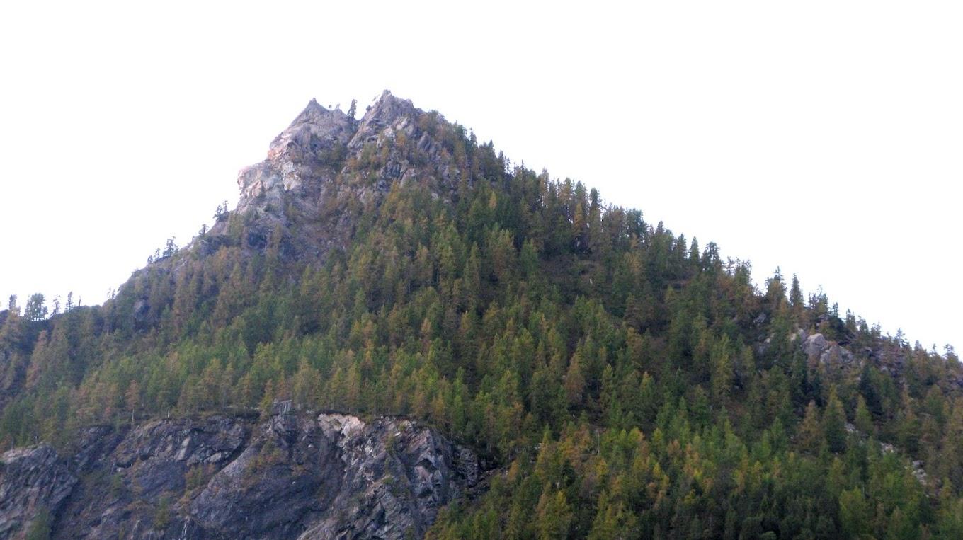
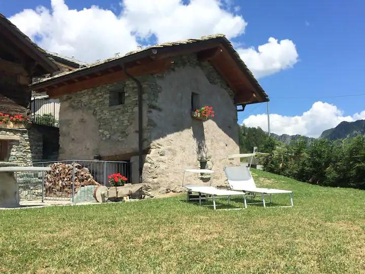
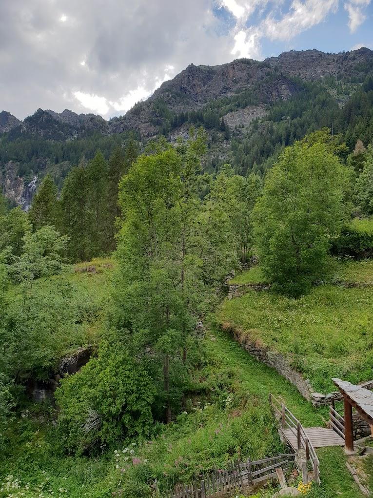
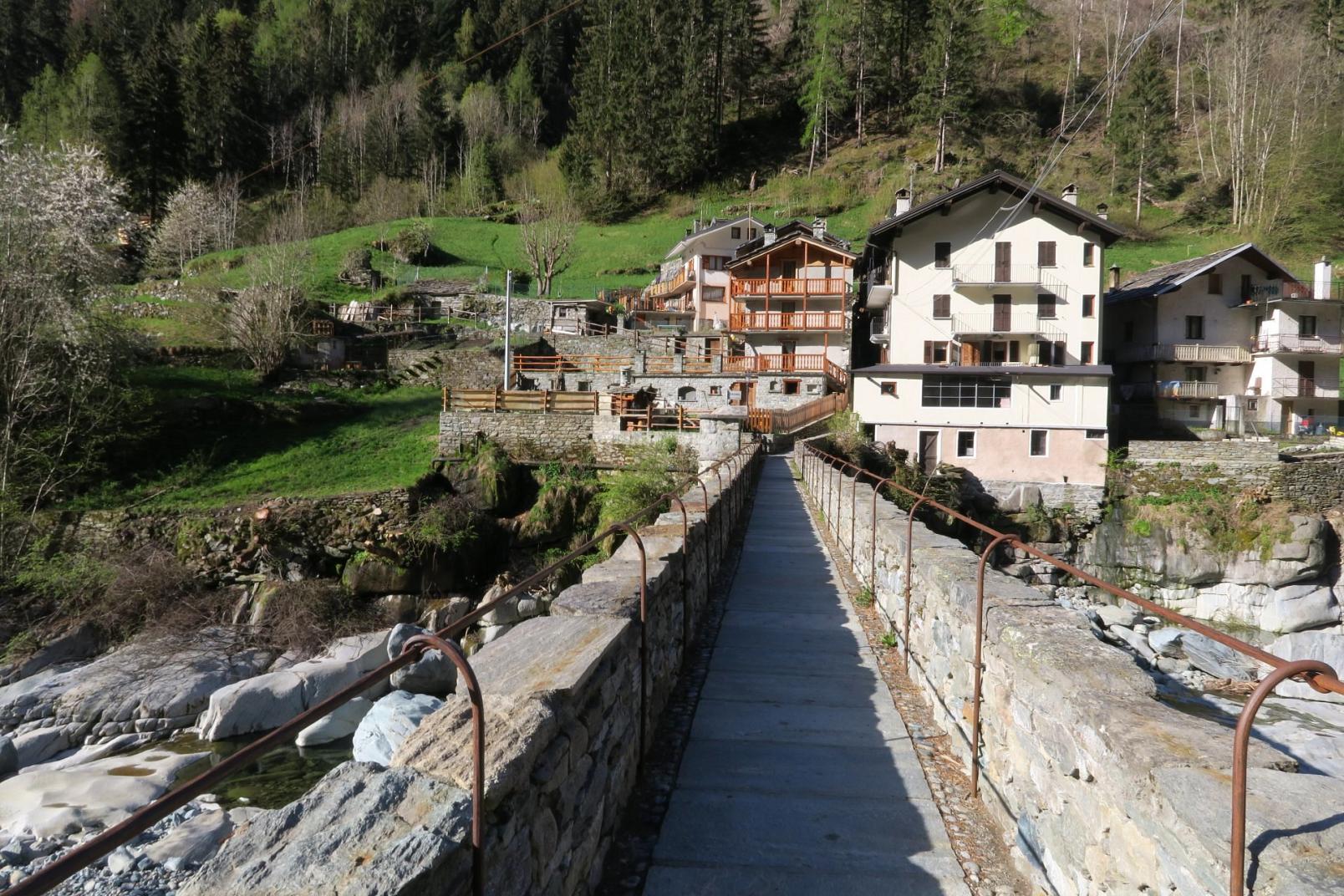
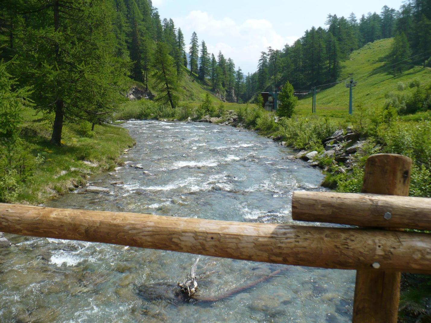
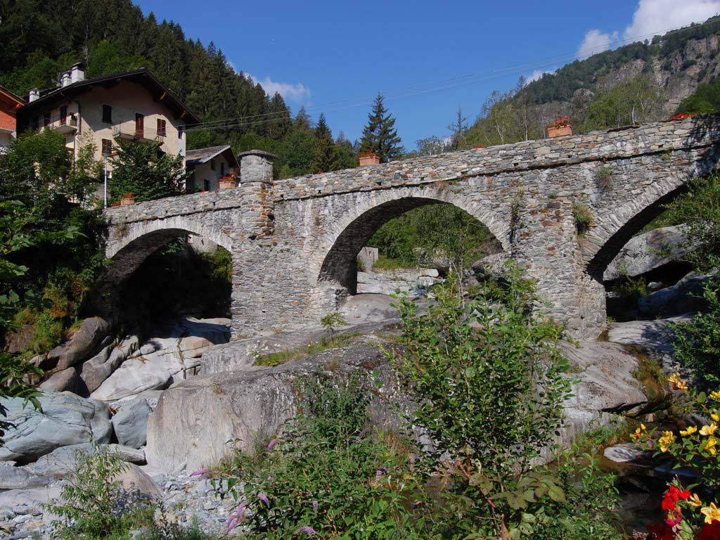
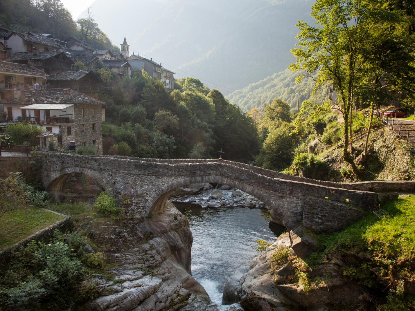
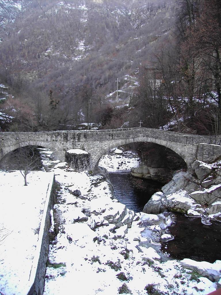
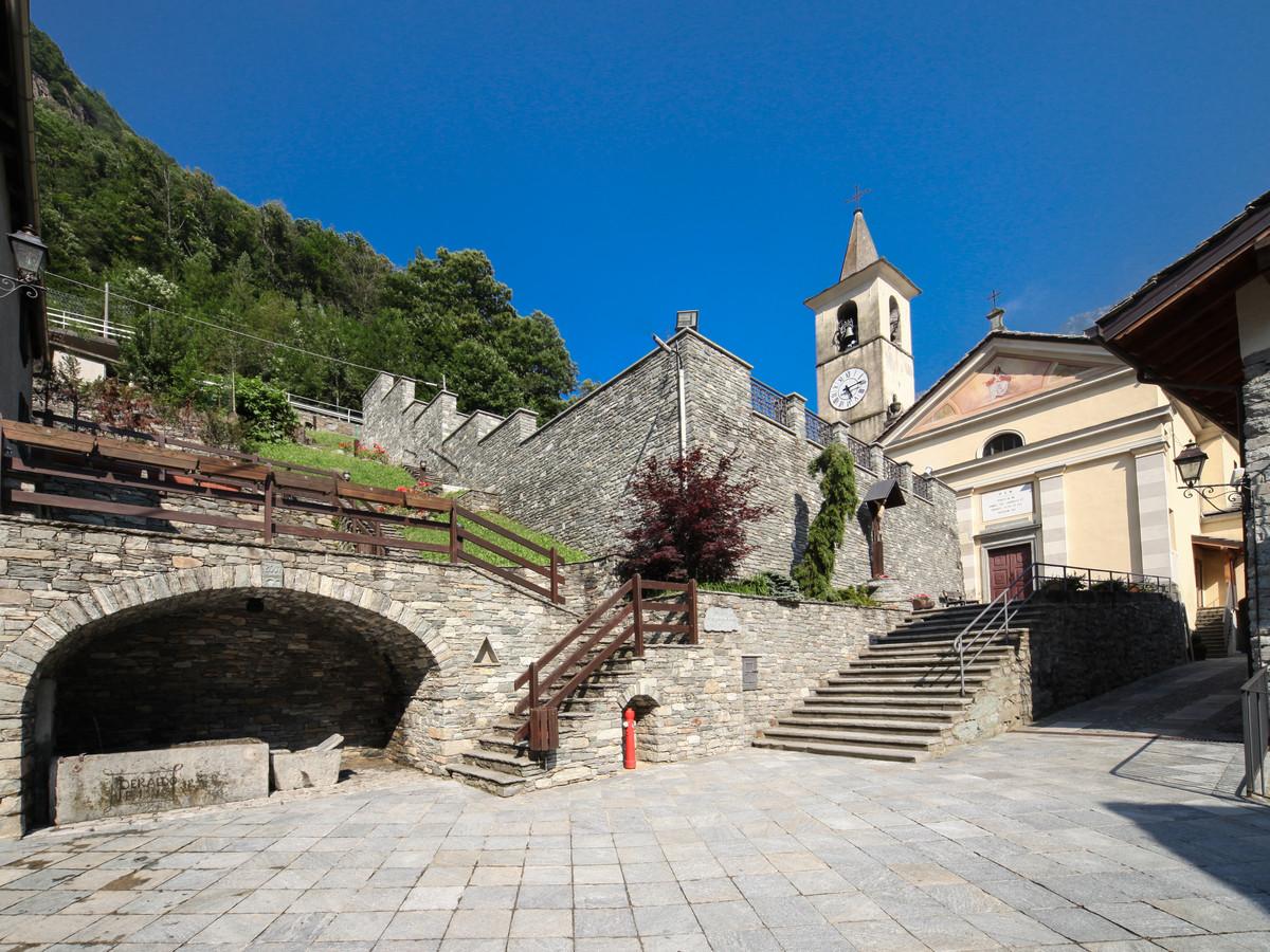
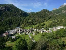
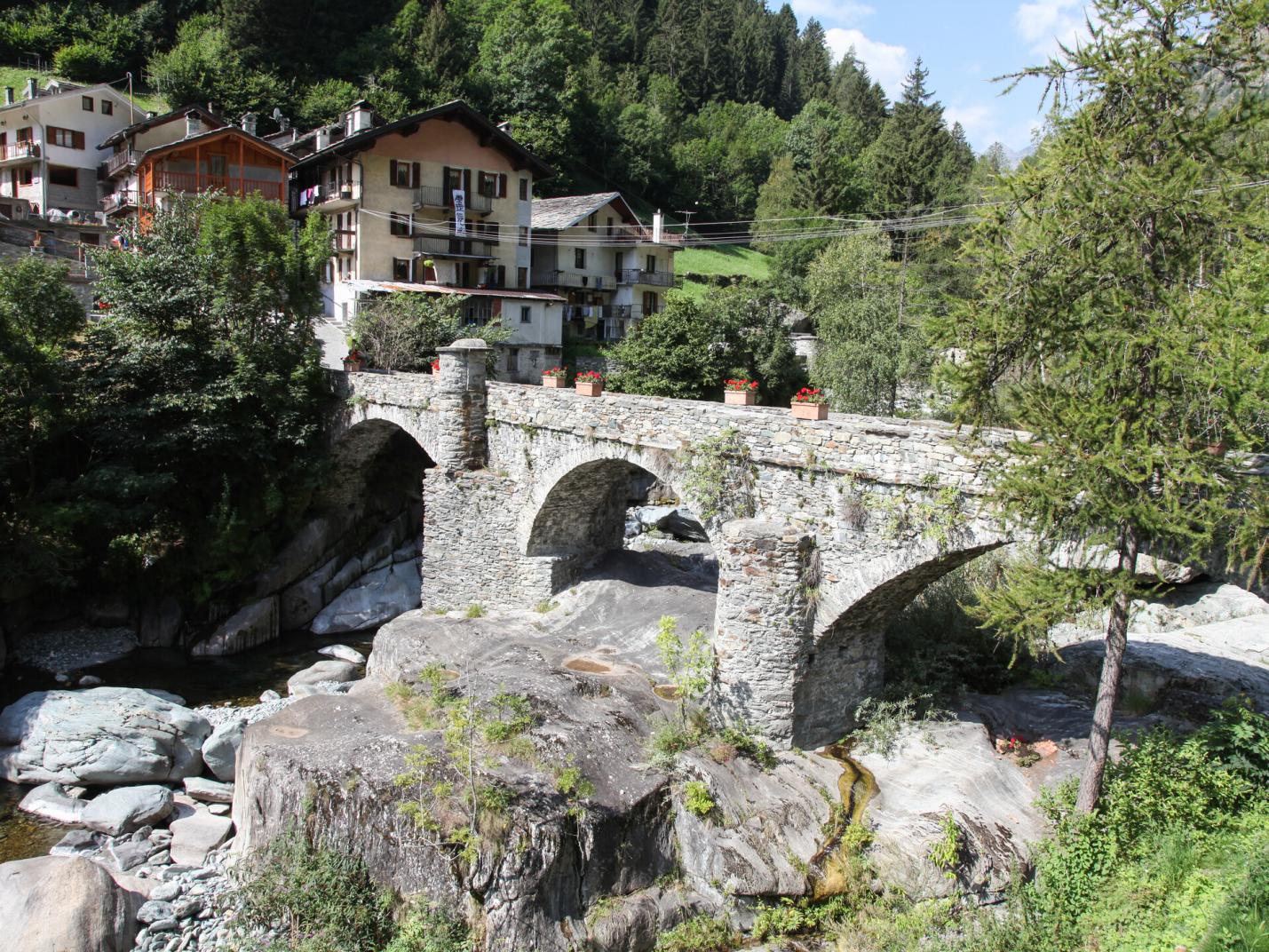
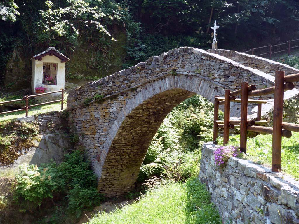
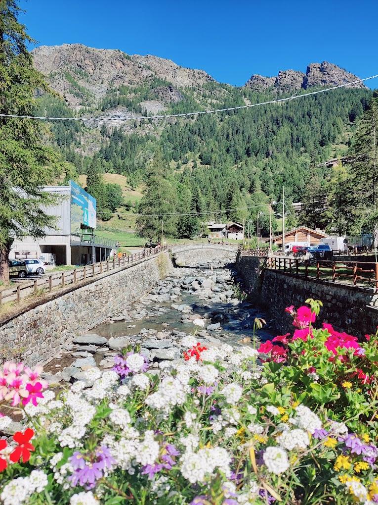
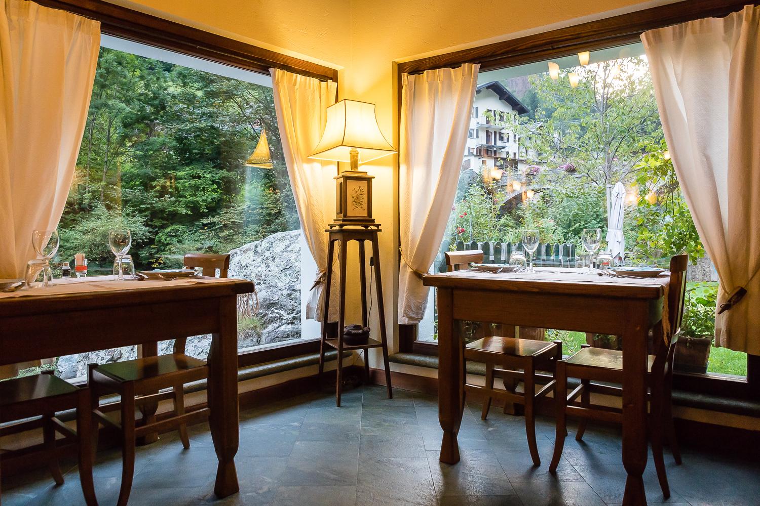
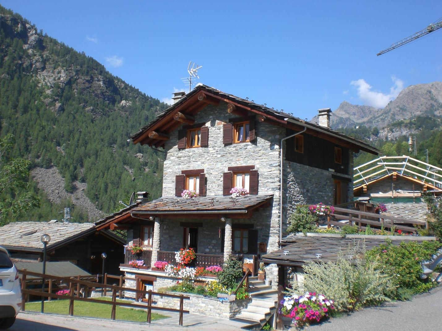
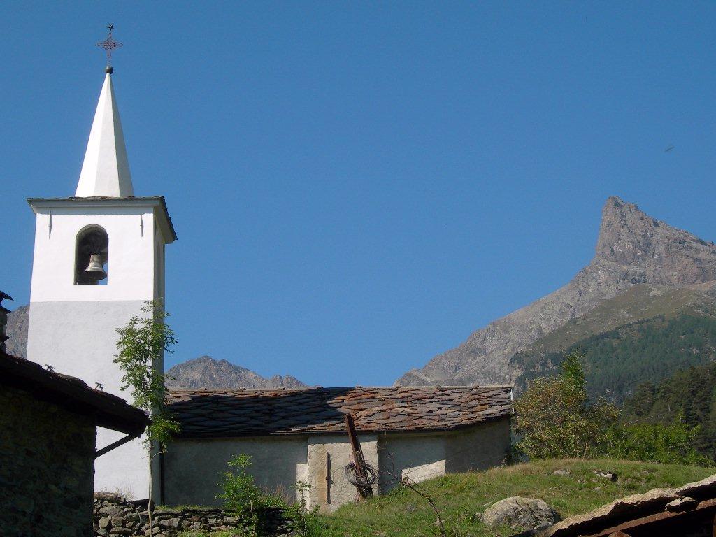
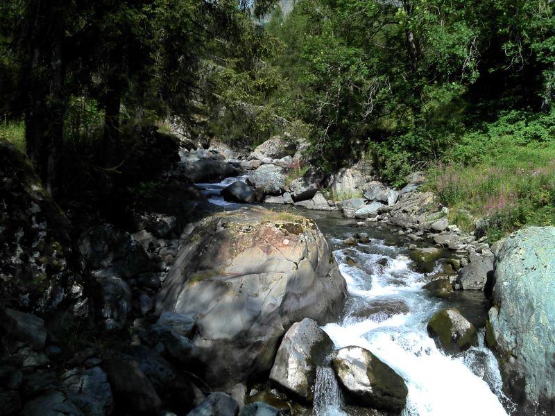
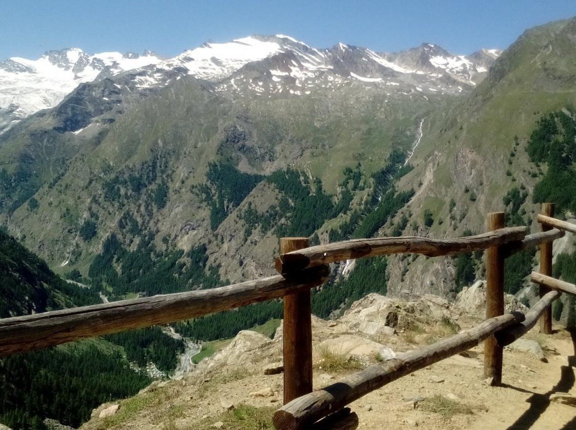
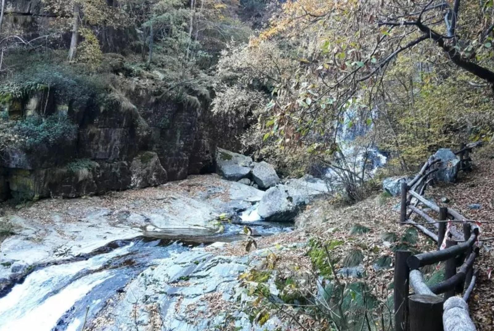
This easy loop trail will lead you to discover magnificent hamlets, such as the historic center of Château/Castello, while also allowing you to savor the wild nature of this valley. In fact, this hike between history and nature will reveal the incredible Goilli di Pourtset, a dizzying gorge located below the village of Château. After leaving your car at the Mellier parking lot, the ascent follows trail no. 12C, an old mule track through the woods that the residents of Mellier used to reach Château, the main historic center of the municipality of Champorcher. From the Mellier parking lot, walk 350 meters along the paved road towards the old chapel of Santa Maria Maddalena di Vigneroisa and find the start of the mule track to the left of the chapel. The mule track, although partially interrupted by the regional road, retains most of its original form. Once you reach the villa shaped like a castle, follow the regional road to the village of Château. It is recommended to visit the hamlet, characterized by a charming center with some rascards, the old tower of the now-vanished medieval castle, dating back to the 11th or 12th century, and the parish church of San Nicola. After visiting the village, consider stopping at one of the local spots for a break and then visiting the Mont Avic Nature Park visitor center. Then, continue along the regional road, and after 320 meters from the park visitor center, turn left and cross the Ayasse stream, with its crystal-clear waters (moving to the right side of the stream). Turn left again, passing to the right of Villa Franchini until you reach the houses that make up the hamlet of Vignat. Descend on the path that runs alongside the pastures. Upon reaching a junction (at about 1385 m a.s.l.), take the left path (avoid the path on the right). Then visit the upper area of the Goilli di Pourtset, exploring both the area of the old power station and the belvedere (both are detours from the main trail for about 100 meters round trip). The Goilli di Pourtset gorge is not particularly visible unless you take this hike. The chasm is about 90 meters deep near the tower, making it a unique and interesting environment from a naturalistic, geological, and sporting point of view, as it is a challenging canyoning route. The water cascades down steeply, creating a suggestive atmosphere, overlooked by the scenic Château rock with its tower. After visiting the upper area of the Goilli di Pourtset, descend on the path towards Outre l’Ève. About halfway down, find the side trail that, in about a hundred meters, leads to the lower belvedere of the Goilli di Pourtset, offering a breathtaking view over the Ayasse stream. The genesis of the gorge is geologically complex. During the glaciations, the area between Chardonnay and Château likely served as a glacial threshold, while downstream, no trace of the glacier seems to remain, except for high terraces on the right side. The gorge probably formed as the stream passed from the upper threshold (with serpentinite) to the valley floor (with calcareous schists), progressively eroding the latter.

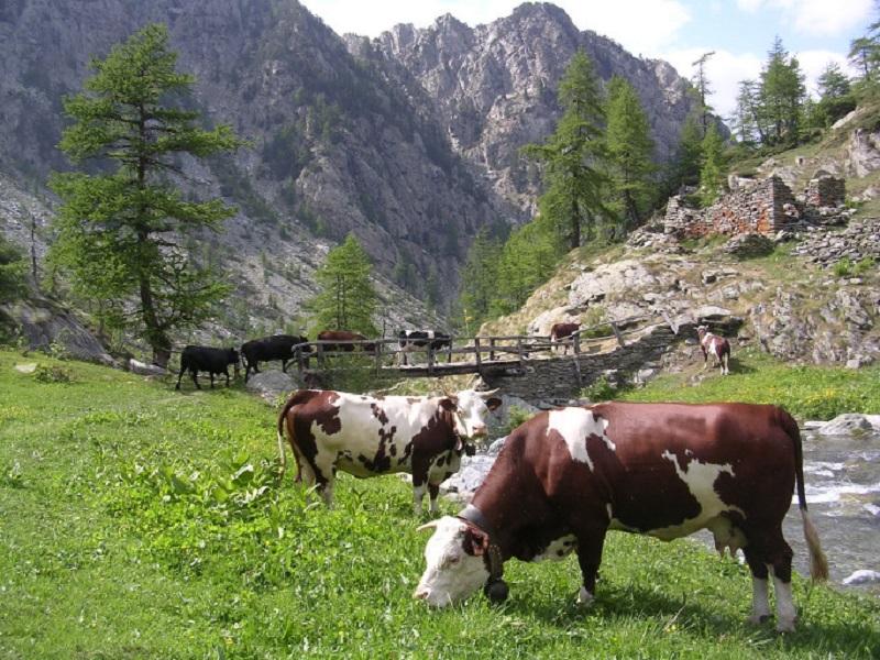
Once you’ve admired the gorge, descend to the Outre l’Ève area, passing through tall woods and near the calmer waters of the Ayasse stream. Then, turn left onto the paved road that crosses the Ayasse stream and passes near the Moulin area. After about a hundred meters, find the path that climbs to Mellier, crossing various pastures and the hamlets of Verana and Loré. Technical notes: Suitable for families.

Details of the tour

Properties

Typology: Trekking

Difficulty: Medium

Ascent: 210 m

Duration: 2 hours

Distance: 4000 m

Where

Start point
Mellier

Get me there

Mobility

Leave the car in the large square near the regional road

Destination
Mellier

Find nearby

Cappella del gom

693.73km

Valle di Champorcher

Culture

Chapel of Gom

Cappella del Gom, 11020 Pont-Bozet AO

Champorcher

698.15km

Valle di Champorcher

Culture

Medieval tower and parish church

Champorcher, 11020 Champorcher AO

Ecomuseo della Canapa

699.17km

Valle di Champorcher

Culture

Hemp eco-museum

Località Chardonney , 11020 Champorcher AO

Santuario del Miserin

706.22km

Valle di Champorcher

Culture

Miserin Lake Virgin Mary

Miserin, 11020 Champorcher AO

Chardonnay

Trekking

0.00km

Valle di Champorcher

Active

Among woods and centuries-old villages

Duration: 1 hour 15 minutes

Length: 2100 m

Difficulty: Medium

bec monpey

Trekking

0.00km

Valle di Champorcher

Active

Bec de Monpey

Duration: 2 hours

Length: 2160 m

Difficulty: Medium

petit rosier

Trekking

0.00km

Valle di Champorcher

Active

Between the villages of Mellier and Petit Rosier and the Etsely chapel

Duration: 2 hours

Length: 3000 m

Difficulty: Medium

Perruchon

Trekking

0.00km

Valle di Champorcher

Active

Between water and centuries-old villages

Duration: 1 hour

Length: 1800 m

Difficulty: Medium

Borney

Trekking

0.00km

Valle di Champorcher

Active

Borney and Trome

Duration: 4 hours

Length: 8600 m

Difficulty: Medium

Col Fenetre

Trekking

0.00km

Valle di Champorcher

Active

Col Fenêtre

Duration: 4 hours 30 minutes

Length: 12300 m

Difficulty: Medium

Lago vercoche

Trekking

0.00km

Valle di Champorcher

Active

Col Laris and lake Vercoche

Duration: 3 hours 45 minutes

Length: 9000 m

Difficulty: High

Rifugio Dondena

Trekking

0.00km

Valle di Champorcher

Active

Dondena Refuge Tour - Easy

Duration: 3 hours 30 minutes

Length: 8300 m

Difficulty: Medium

Rifugio Dondena

Trekking

0.00km

Valle di Champorcher

Active

Dondena Refuge Tour - Medium

Duration: 5 hours 30 minutes

Length: 13300 m

Difficulty: Medium

Miserin

Trekking

0.00km

Valle di Champorcher

Active

Miserin Refuge and Sanctuary

Duration: 3 hours

Length: 7200 m

Difficulty: Medium

Ponte maddalene

Trekking

0.00km

Valle di Champorcher

Active

Rural paths and royal roads (Maddalene Bridge)

Duration: 3 hours

Length: 6900 m

Difficulty: Medium

Lago Ponton

Trekking

0.00km

Valle di Champorcher

Active

Tour Ponton

Duration: 6 hours 30 minutes

Length: 17200 m

Difficulty: High

Pontboset

Walk

694.27km

Valle di Champorcher

Active

Barmelle

Pontboset

Walk

694.27km

Valle di Champorcher

Active

Pont Boset La Manda 2-5 h

Pontboset

Walk

694.27km

Valle di Champorcher

Active

7 ponti con orrido

Pontboset

Trekking

694.28km

Valle di Champorcher

Active

Trek Pont Boset Mont Blanc

Pontboset

Trekking

694.28km

Valle di Champorcher

Active

Pont Boset Brenve 2-5h

Champorcher

Trekking

694.28km

Valle di Champorcher

Active

Pontboset skyrace

Pontboset

Walk

694.29km

Valle di Champorcher

Active

Pont Boset Brenve Stream

Pontboset retempio

Trekking

694.29km

Valle di Champorcher

Active

Shrine of Retempio 2-5 h

Happy Trekking Monterosa

678.92km

Active

Happy Trekking in Gressoney

Promotion valid from June 1 to September 15

Villa Deslex, 11025 Gressoney-Saint-Jean AO

Negozio

678.92km

Valle di Champorcher

Wellness

AZIENDA AGRICOLA MONTIFLOR L’ERBA DEL VICINO

FRAZIONE Chardoney, 38, 11020 Champorcher AO

Birrificio

698.14km

Valle di Champorcher

Food

Birrificio Champorcher

Champorcher, 11020 Champorcher AO

698.19km

Valle di Champorcher

In town

BUTCHER’S SHOP DE ROSSO ISIDORO

loc. Chateau 9, 11020 Champorcher AO

Champorcher Pharmacy

698.29km

Valle di Champorcher

Wellness

CHAMPORCHER PHARMACY

Frazione Vignat n° 24, 11020 champorcher AO

Trottola

699.23km

Valle di Champorcher

Culture

La Trottola Champorcher

Frazione Chardonney 120 B, 11020 Champorcher AO

Minimarket Gabry Champorcher

699.24km

Valle di Champorcher

In town

MINIMARKET GABRY

Frazione Chardonney, 120, 11020 champorcher AO

Restaurant Chez Isabel

694.41km

Valle di Champorcher

RESTAURANT CHEZ ISABEL

Loc. Pont Bozet 96, 11020 Pontboset AO

Le Moulin Des Aravis

695.30km

Valle di Champorcher

RESTAURANT LE MOULIN DES ARAVIS

Frazione Savin, 55, 11020 Pontboset AO

Restaurant mellier

697.10km

Valle di Champorcher

RESTAURANT BAR MELLIER

frazione mellier 85, 11020 CHAMPORCHER AO

le relais des reines

697.41km

Valle di Champorcher

RESTAURANT LE RELAIS DES REINES

Frazione Vigneroisa, 8, 11020 Champorcher AO

Bar

698.64km

Valle di Champorcher

Bar Le Foyer du Fond Champorcher

località Le Vignat 18, 11020 Champorcher AO

Bar ristoro lago muffe

698.68km

Valle di Champorcher

BAR RISTORO LAGO MUFFE’

Lago Muffe, 11020 champorcher AO

699.25km

Valle di Champorcher

Bistrot De l’Abbe

Frazione Chardonney 120/A, 11020 Champorcher AO

Ski man – bar restaurant

699.31km

Valle di Champorcher

Ski man – bar restaurant

Loc. Chardonney 88, 11020 Champorcher AO

OSTELLO CASA CIUCA

690.03km

Valle di Champorcher

OSTELLO CASA CIUCA

via vittorio emanuele II, 24 , BARD AO

Book now

HOTEL AD GALLIAS E DIPENDENZA

690.07km

Valle di Champorcher

HOTEL AD GALLIAS E DIPENDENZA

Via Vittorio Emanuele II, 5/7, BARD AO

Book now

Hotel Cavour et des Officiers

690.20km

Val d'Ayas

Hotel Cavour et des Officiers

Via Vittorio Emanuele II, 85, 11020 Bard AO

Ostello La Cresta del Lupo

694.34km

Valle di Champorcher

Ostello La Cresta del Lupo

loc. Pont-Bozet, 31, 11020 Pontboset AO

HOTEL CHEZ ISABEL

694.40km

Valle di Champorcher

HOTEL CHEZ ISABEL

Fraz. Pont-Bozet, 95, PONTBOSET AO

Book now

Hotel ristorante Chez Isabel

694.41km

Valle di Champorcher

HOTEL CHEZ ISABEL

Loc. Pont Bozet 96, 11020 Pontboset AO

CHAMBRES D'HOTES LI TZATAGNI

694.51km

Valle di Champorcher

CHAMBRES D'HOTES LI TZATAGNI

fraz. Chateigne, PONTBOSET AO

Book now

Li Tzatagni

694.53km

Valle di Champorcher

LI TZATAGNI

fraz La Chateigne, 11020 Pontboset AO

AGRITURISMO LE MOULIN DES ARAVIS

695.28km

Valle di Champorcher

AGRITURISMO LE MOULIN DES ARAVIS

frazione Savin, n. 55, PONTBOSET AO

Book now

Le Moulin Des Aravis

695.33km

Valle di Champorcher

LE MOULIN DES ARAVIS

loc. Savin 55, 11020 Pontboset AO

695.49km

Valle di Champorcher

B&B LA BORMA DI POMBO

loc Barmacrepa 4, 11020 Pontboset AO

Hotel restaurant Beausejour

697.23km

Valle di Champorcher

Hotel restaurant Beausejour

Frazione Lore' 1, 11020 Champorcher AO

697.30km

Valle di Champorcher

B&B LA BRENVA

Fraz Verana 49, 11020 Champorcher AO

Casa Verana

697.33km

Valle di Champorcher

CASA VERANA

fraz. Verana 33, 11020 Champorcher AO

Relais des reines

697.41km

Valle di Champorcher

FARMHOUSE LE RELAIS DES REINES

Frazione Vigneroisa, 8, 11020 Champorcher AO

698.12km

Valle di Champorcher

HOTEL CASTELLO

Località Castello, 53, 11020 Champorcher AO

ALBERGO CASTELLO DA BONINO

698.18km

Valle di Champorcher

ALBERGO CASTELLO DA BONINO

Loc.Castello, 53, CHAMPORCHER AO

Book now

699.21km

Valle di Champorcher

HOTEL PETIT PARADIS

fraz. Chardonney, 11020 Champorcher AO

Maison Nicole

699.27km

Valle di Champorcher

Maison Nicole

fraz. Chardonney 94, 11020 Champorcher AO

REVIVRE VILLAGE

699.30km

Valle di Champorcher

REVIVRE VILLAGE

Fraz. Ronchas 11, CHAMPORCHER AO

Book now

On the same topic

Pontboset

Trekking

Valle di Champorcher

Active

Pont Boset Brenve 2-5h

Champorcher

Trekking

Valle di Champorcher

Active

Grand Tour of the Lower Champorcher Valley

Duration: 10 hours

Length: 14500 m

Difficulty: High

Cima piana

Trekking

Valle di Champorcher

Active

Cima Piana

Duration: 5 hours

Length: 8100 m

Difficulty: Medium

Pontboset retempio

Trekking

Valle di Champorcher

Active

Shrine of Retempio 2-5 h

Grand Rosier

Walk

Valle di Champorcher

Active

Sant’Anna

Lago Chilet

Trekking

Valle di Champorcher

Active

Lake Chilet

Duration: 3 hours 45 minutes

Length: 7000 m

Difficulty: Medium

bec monpey

Trekking

Valle di Champorcher

Active

Bec de Monpey

Duration: 2 hours

Length: 2160 m

Difficulty: Medium

Lago vercoche

Walk

Valle di Champorcher

Active

Champorcher – Vercoche < 2h

Zuc

Walk

Valle di Champorcher

Active

Zuc

Miserin

Trekking

Valle di Champorcher

Active

Miserin Refuge and Sanctuary

Duration: 3 hours

Length: 7200 m

Difficulty: Medium

Lago vercoche

Trekking

Valle di Champorcher

Active

Laris Lake Vercoche Loop

Lago vercoche

Trekking

Valle di Champorcher

Active

Lake Vercoche

Duration: 5 hours 30 minutes

Length: 14500 m

Difficulty: Medium

Pontboset

Walk

Valle di Champorcher

Active

7 ponti con orrido

Borney

Trekking

Valle di Champorcher

Active

Borney and Trome

Duration: 4 hours

Length: 8600 m

Difficulty: Medium

Mont Glacier

Trekking

Valle di Champorcher

Active

Mont Glacier

Duration: 10 hours

Length: 27000 m

Difficulty: High

Lago vercoche

Trekking

Valle di Champorcher

Active

Col Laris and lake Vercoche

Duration: 3 hours 45 minutes

Length: 9000 m

Difficulty: High

Champorcher

Trekking

Valle di Champorcher

Active

Menhir

Rosa dei banchi

Alpinism

Valle di Champorcher

Active

Rosa dei Banchi

Duration: 10 hours

Length: 20000 m

Difficulty: High

Lago

Trekking

Valle di Champorcher

Active

Anello Gran Lago

Rifugio barbustel

Trekking

Valle di Champorcher

Active

Refuge Barbustel

Duration: 2 hours 30 minutes

Length: 3400 m

Difficulty: Medium