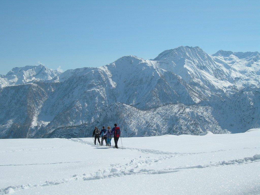
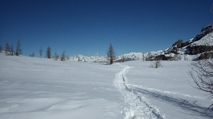
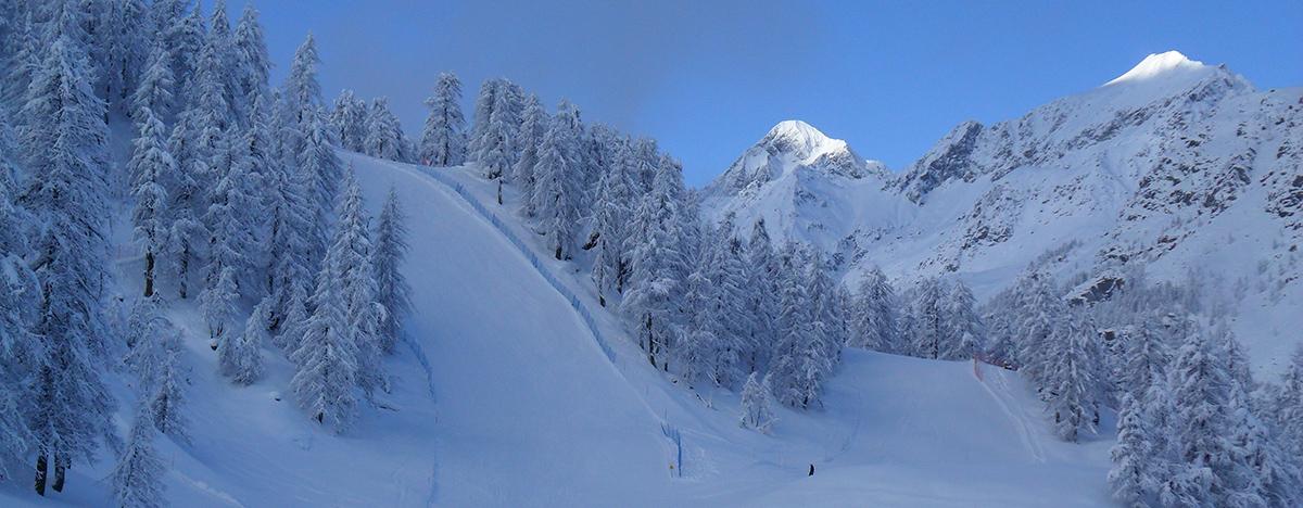
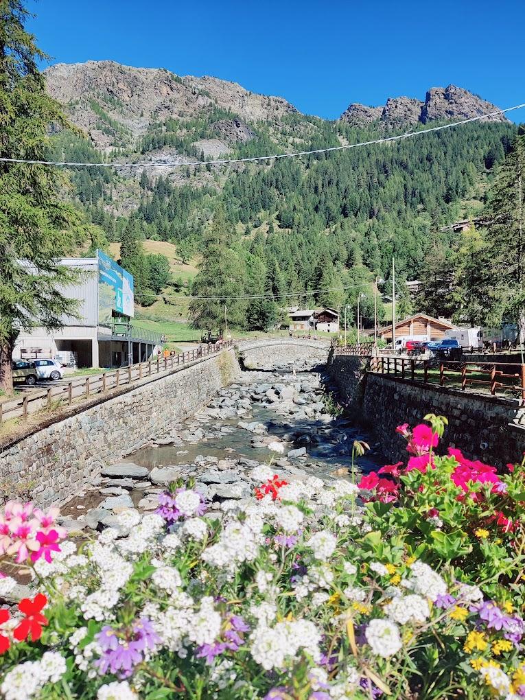
This long and scenic loop, straddling the Champorcher and Champdepraz valleys, allows you to traverse a significant portion of the Mont Avic Natural Park. This route takes place in a unique environment, characterized by its natural and scenic beauty, featuring panoramic peaks, a myriad of crystal-clear lakes, ancient forests, wetlands, and alpine pastures.
First Section: Remoran – Mont Glacier (Trails n° 9B, AV2, 8, and 8C)
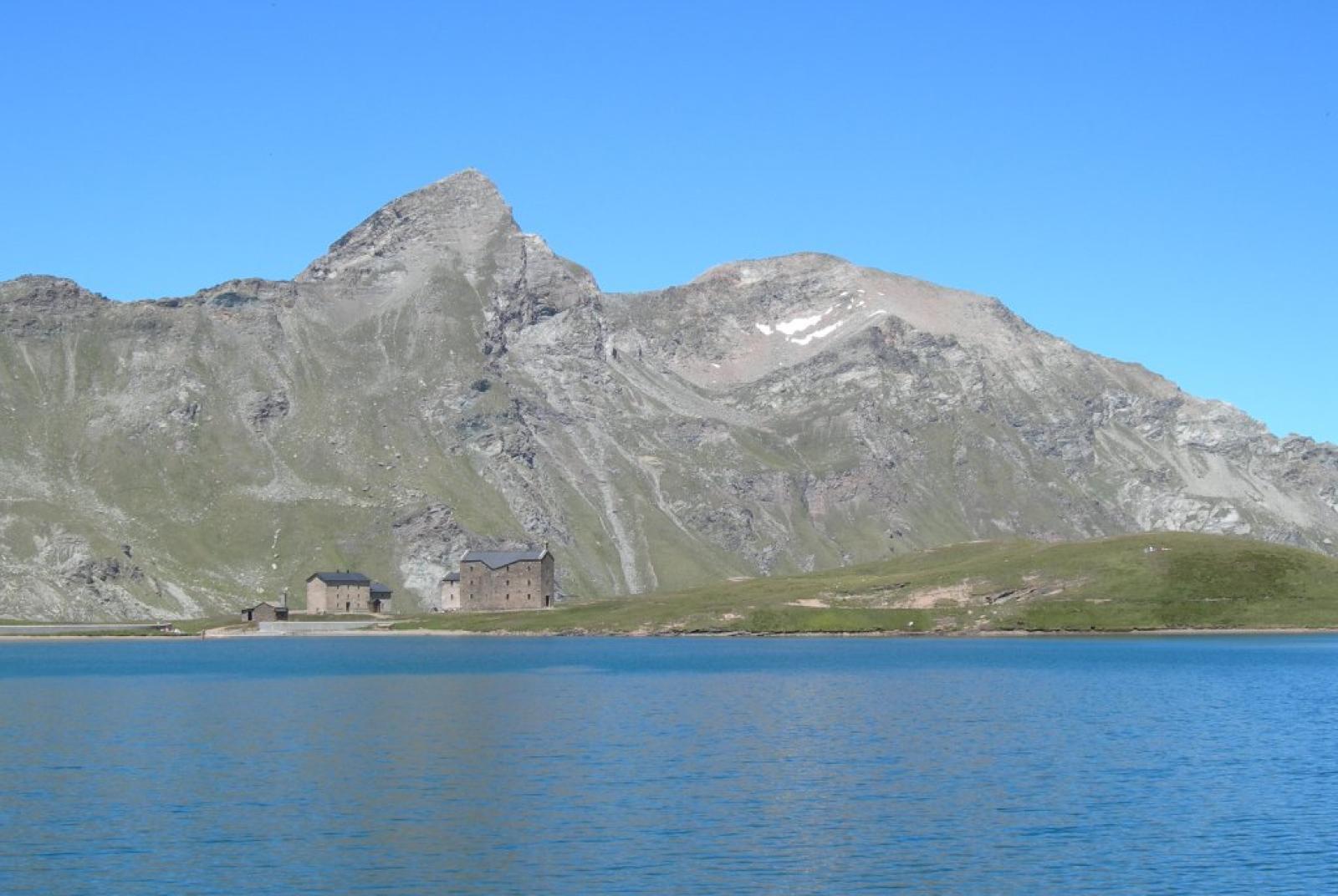
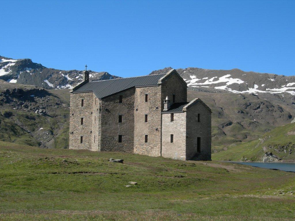
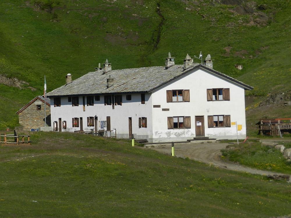
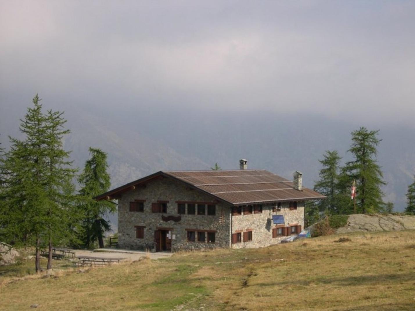
After parking your car, follow the long farm road leading to the Rifugio Dondena, an old hunting lodge of King Vittorio Emanuele II. This first part of the route is easy as it follows a farm road. If you prefer not to walk the entire farm road, you can find Trail n° AV2 a bit downstream that traverses the valley in the same direction, accessible near the Champlong alpine pastures with a short descent of about a hundred meters on a farm road towards the pasture. Upon reaching the Dondena parking area (about 2100 m a.s.l.), cross the Ayasse stream to reach the right bank and continue up to the Rifugio Dondena via the farm road (2185 m a.s.l.). From here, continue along the old royal hunting road to Pian dell’Enseta (about 2327 m a.s.l.). Leave the farm road and take the right fork (Trail n° 8) that leads you, via a bridge, to the left bank of the Ayasse stream. Follow the trail until you reach another junction at around 2450 m a.s.l. Take the right Trail n° 8C towards Mont Glacier/Col Fussy. Ascend the steep grassy slope to reach Col Fussy (2910 m a.s.l.), passing above Lake Gelato. Upon reaching Col Fussy, follow the right fork that crosses a scree slope, climbing diagonally to the Mont Glacier ridge until you reach the summit, where you can enjoy an incredible view of the entire Aosta Valley.
Second Section: Mont Glacier – Col d’Etselé – Col Medzove (Trails n° 8C, 5A, 102/4A, and 102/4)
Descend from Mont Glacier to Col Fussy via the same trail used for the ascent. From Col Fussy, descend towards Fénis, finding Trail n° 5A, which traverses the slope leading to Col d’Etselé (2807 m a.s.l.). To reach Col d’Etselé, avoid Trails n° 5C and the descent towards Fénis and follow the main trail, which alternates between mule track and ridge. From Col d’Etselé, take Trail n° 102/4A, which descends sharply towards Lake Medzove (2372 m a.s.l.). Bypass the lake on the left and find Trail n° 102/4, which gently ascends through the valley towards Col Medzove (2613 m a.s.l.). The climb to the col is gentle, crossing alpine pastures and alternating scree or rocky areas with meadows. From here, enter the Mont Avic Natural Park.
Fourth Section: Col Medzove – Rifugio Barbustel – Remoran (Trails n° 102/5C, 5, and 10)
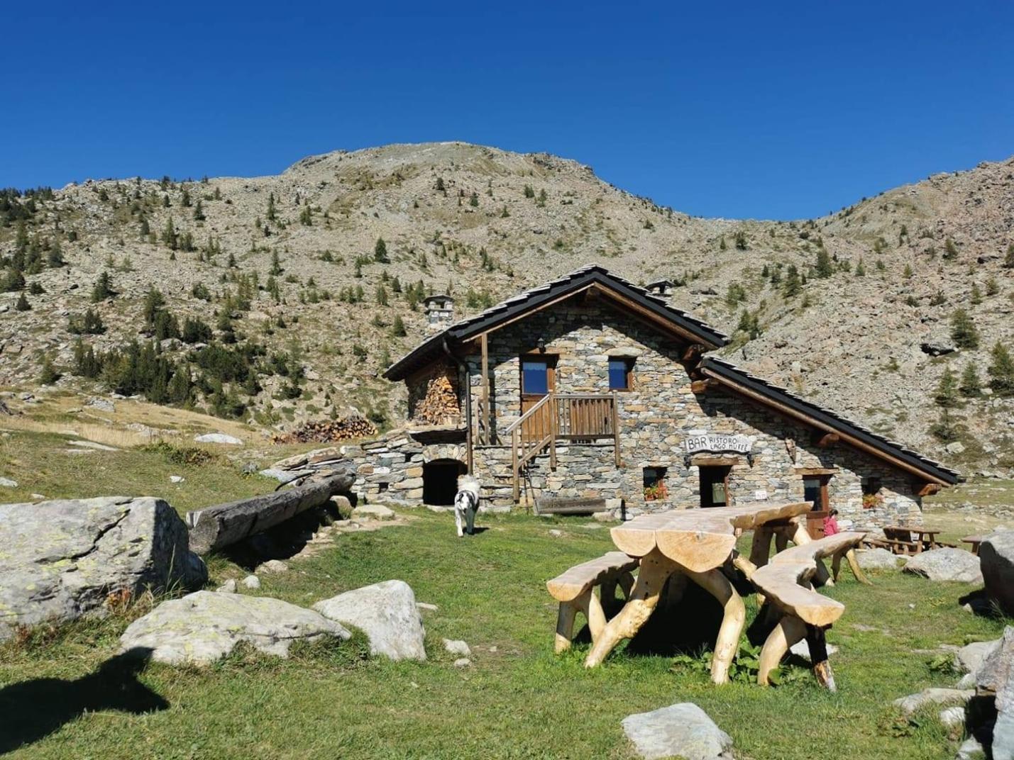
From Col Medzove, descend to Rifugio Barbustel via Trail n° 102/5C. This section is particularly scenic as it traverses the Mont Avic Natural Park, with its beautiful lakes and watercourses. From the col, continue gently downhill near wetlands until reaching the forest cabin, then cross the entire northern shore of the Gran Lago (2485 m a.s.l.). Continue descending until reaching the ruins of the Pesone pastures (2307 m a.s.l.). Traverse the grassy area of the pasture and continue downhill through the valley until reaching the area above Lake Cornuto/Cornu and Lake Nero/Noir (both on your right). The trail continues descending until you cross a stream, upstream from Lake Bianco. After crossing the stream, ascend to Rifugio Barbustel (2200 m a.s.l.). From Rifugio Barbustel, find the trail that ascends to Col du Lac Blanc (2309 m a.s.l.). Continue along Trail n° 10 to reach the Remoran parking area, passing near Lake Muffé and the Bar ristoro del Lago Muffé.
Technical Notes:
The route is recommended for experienced hikers. It is not suitable for families.
Variants:
- Mont Glacier (Round-trip from Rifugio Dondena parking area, at 2100 m a.s.l.)
- Trails: AV2 – 8 – 8C
- Elevation Gain: 1115 m
- Distance: 8 km (one way)
- Ascent Time: 3h30-4h
- Descent Time: 2h20-2h50
- Difficulty: E/EE
- Mont Glacier and descent to Fénis (Starting from Rifugio Dondena parking area, descending to Fénis, through Col Fussy and Col d’Etselé)
- Trails: AV2 – 8 – 8C - 5A – 102/5A - 5
- Elevation Gain: 1800 m
- Distance: 21 km
- Total Time: 7h-9h (highly variable based on fitness levels)
- Difficulty: E/EE
- Leave the car at the Dondena parking area (2100 m a.s.l.). Follow the loop as described, but return via Trail n° 9C (Via Alpina) from Lake Muffé to the Dondena parking area (passing through the Raty area). This variant makes the hike slightly more challenging and longer.
- Trails: AV2 – 8 – 8C - 5A - 102/4A - 102/4 – 102/5C – 5 – 10 – 9C
- Elevation Gain: 2000 m
- Distance: 27 km
- Total Time: 9h – 11h (highly variable based on fitness levels)
