Saturday, April 19: Ayas and Gressoney lifts and slopes open - Alagna side closed.
Check the lifts and slopes open until 21st April


Click here to check the operating hours of the Champoluc-Crest cable car

Ski mountaineering tracks: check here the status of the openings (tracks in green)

Valle di Champorcher

Champorcher

Lake Vercoche

By: Visit Champorcher

Route category: Trekking

Duration: 5 hours 30 minutes

Length: 14500 m

Difficulty: Medium

Lago vercoche

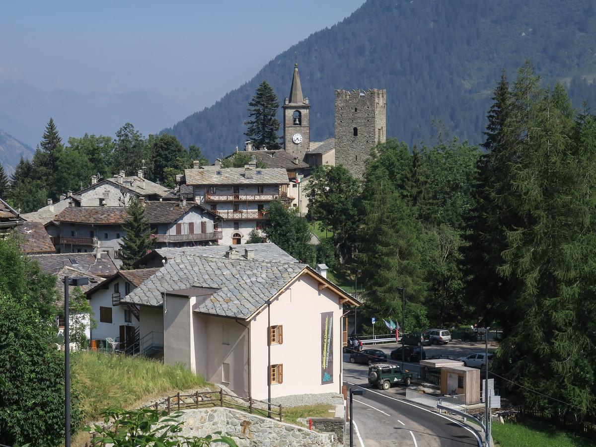
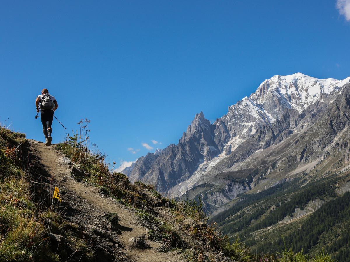
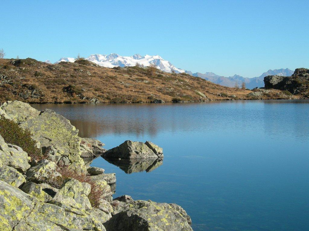
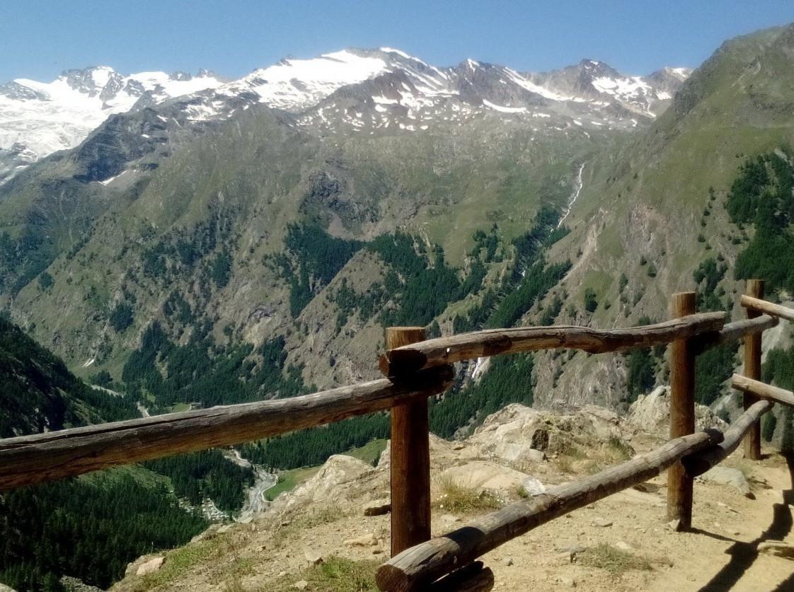
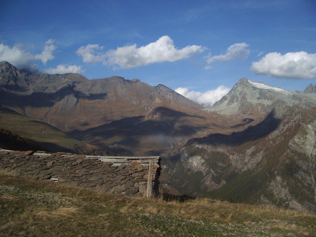
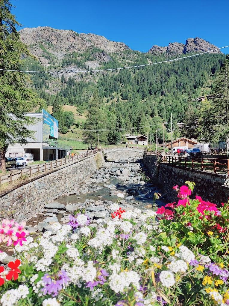
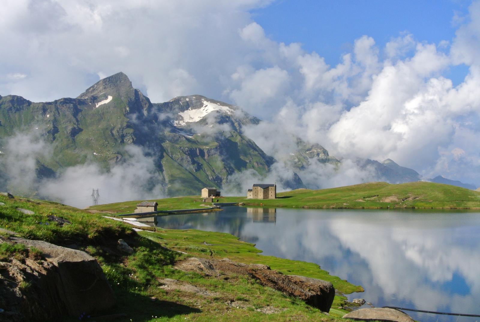
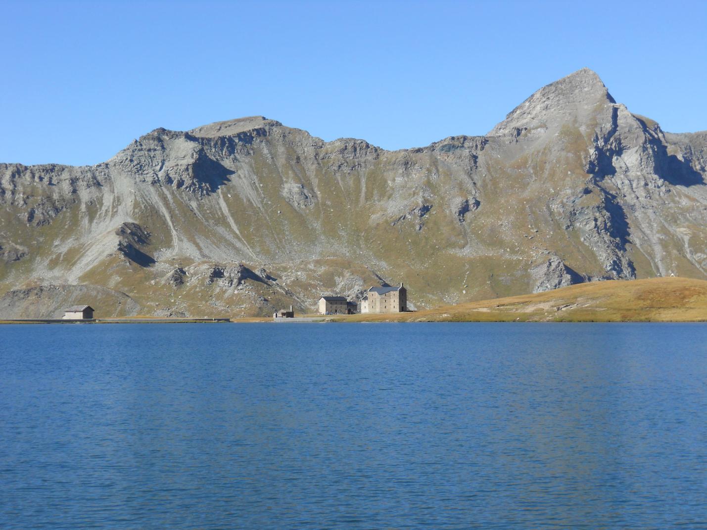
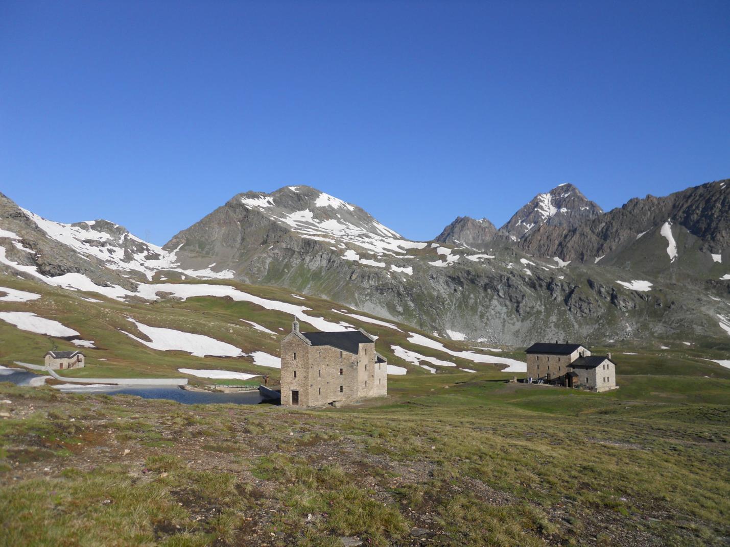
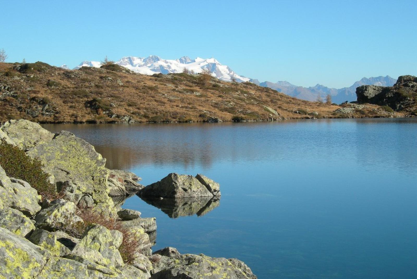
This loop trail connects two unique locations in the Champorcher area. The ascent partly follows the Royal Road, built by King Vittorio Emanuele II of Savoy to reach the royal hunting lodges in Dondena. The second part of the ascent traverses the slopes leading to Lake Vercoche, offering stunning views of the Monte Rosa massif and the Matterhorn. Lake Vercoche provides incredible tranquility, ideal for a break by its dark blue waters. Although the lake is natural, it has a dam that has been in operation since 1953. Despite being only 2 meters high, the dam holds a reservoir of over 965,000 m³ of water. This reservoir includes the sum of Lake Vercoche and Lake Piana, which is easily reachable with a 5-minute walk from Lake Vercoche. Lake Vercoche reaches a depth of 28 meters, and its waters feed the Vercoche stream and the Hône hydroelectric plant (in the valley floor). The descent follows the Vercoche Valley and the Legna Valley, magical and wild places where humans have harmoniously coexisted with nature for hundreds of years. This hike allows you to fully immerse yourself in the history of Champorcher, blending the royal and rural spirit.

First Segment: Chardonnay – Laris – Lake Vercoche (Trail n° 5 and 5D)
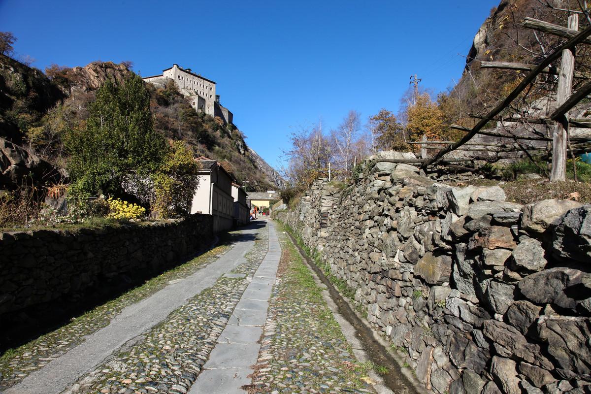
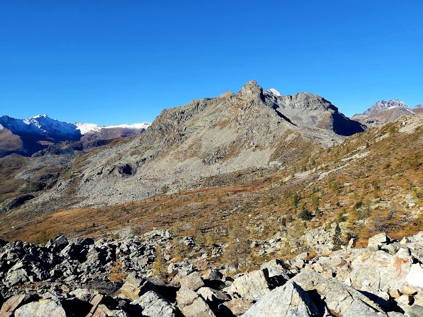
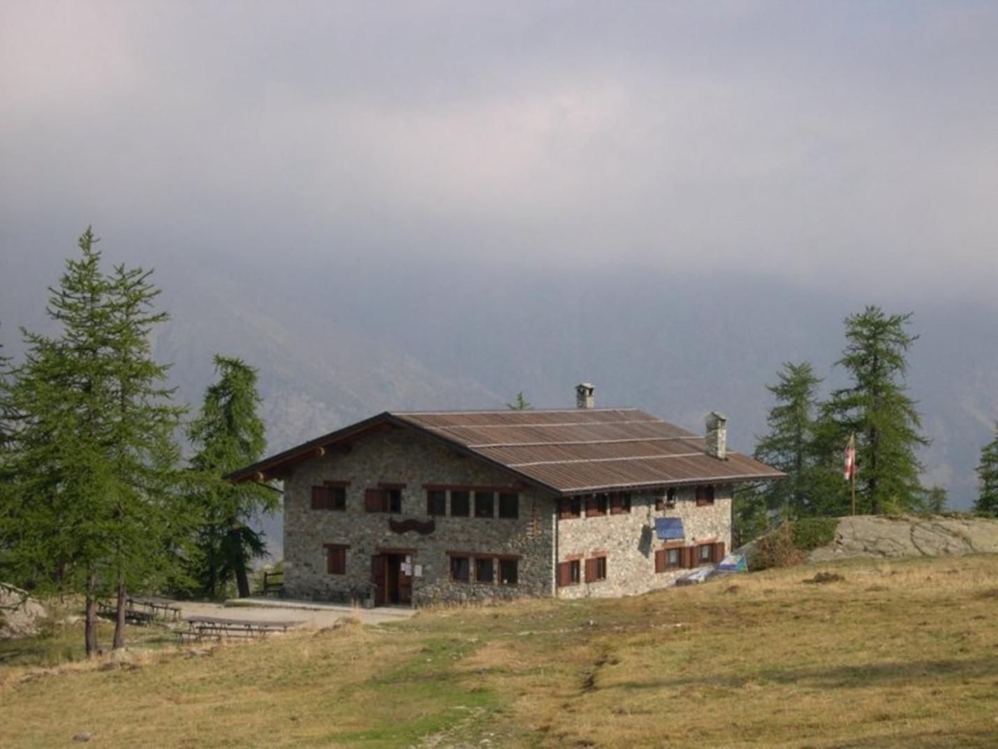
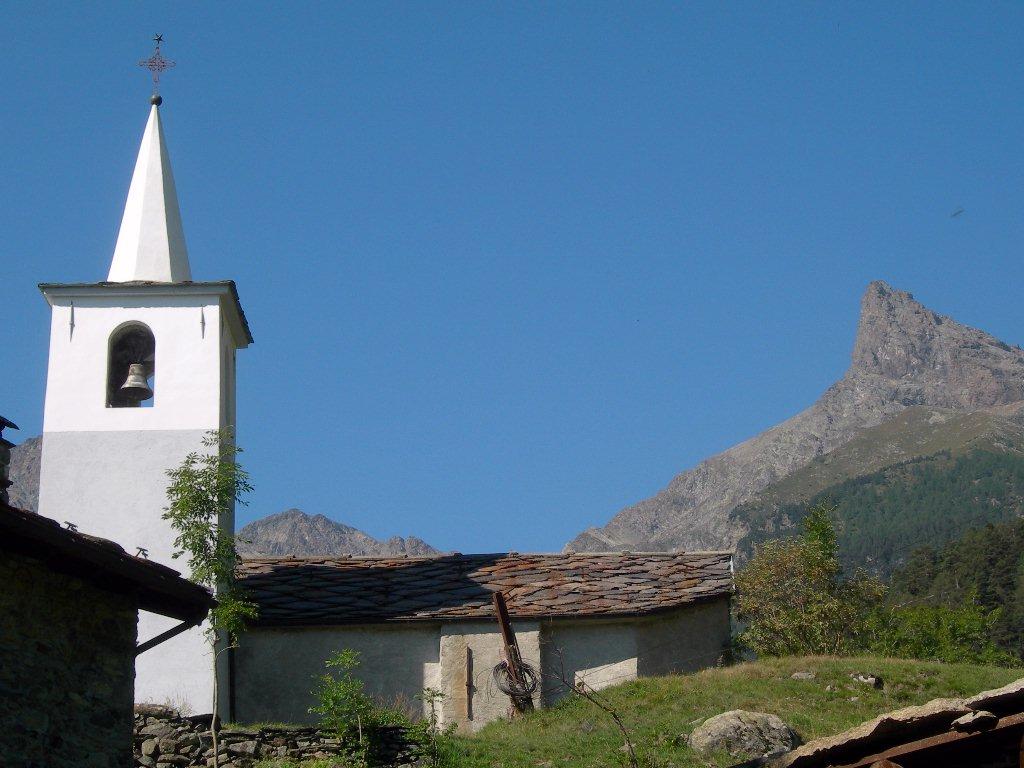
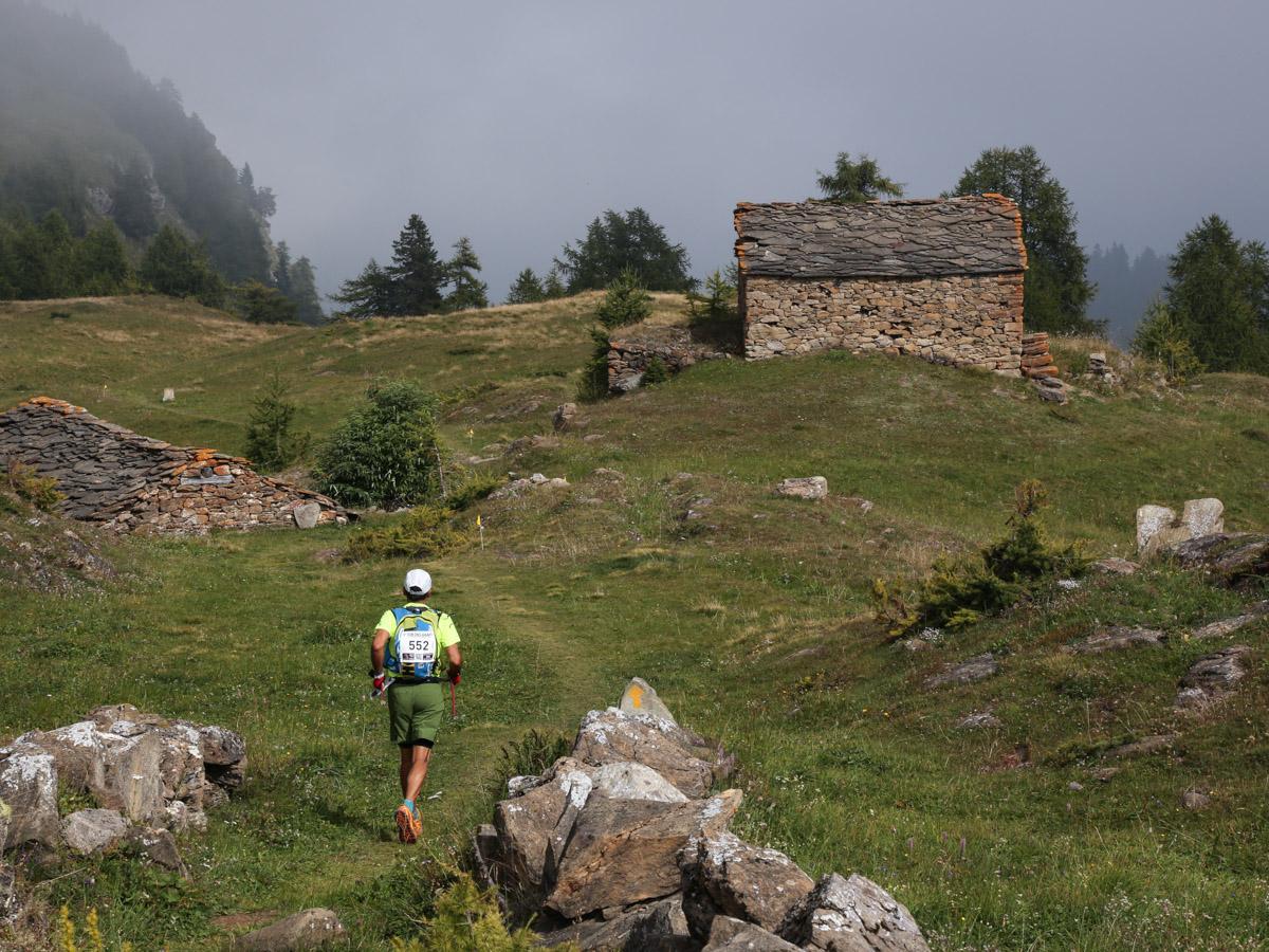
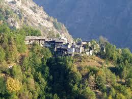
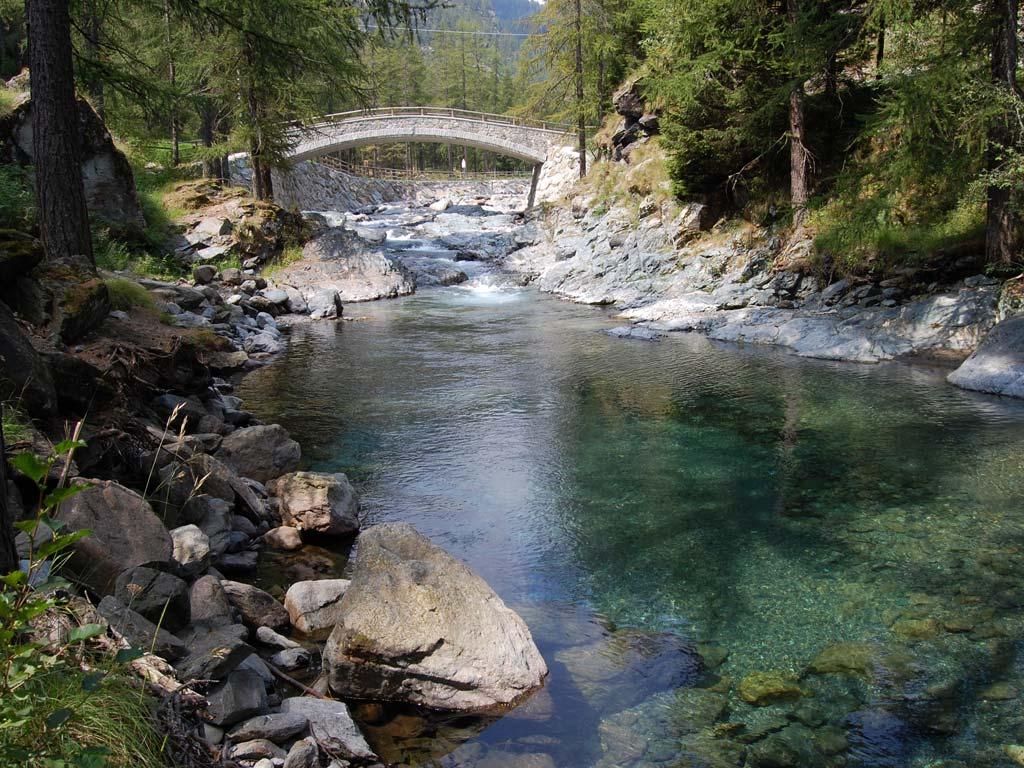
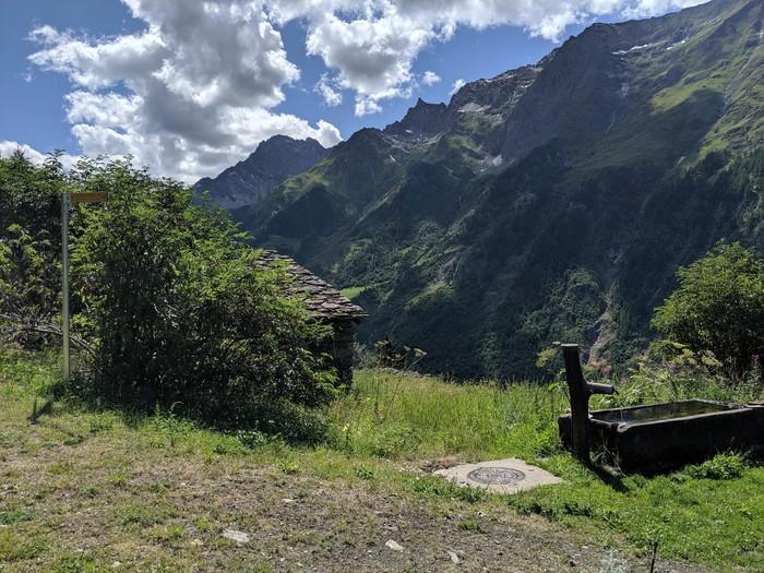
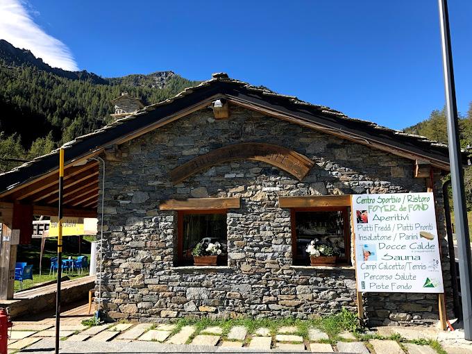
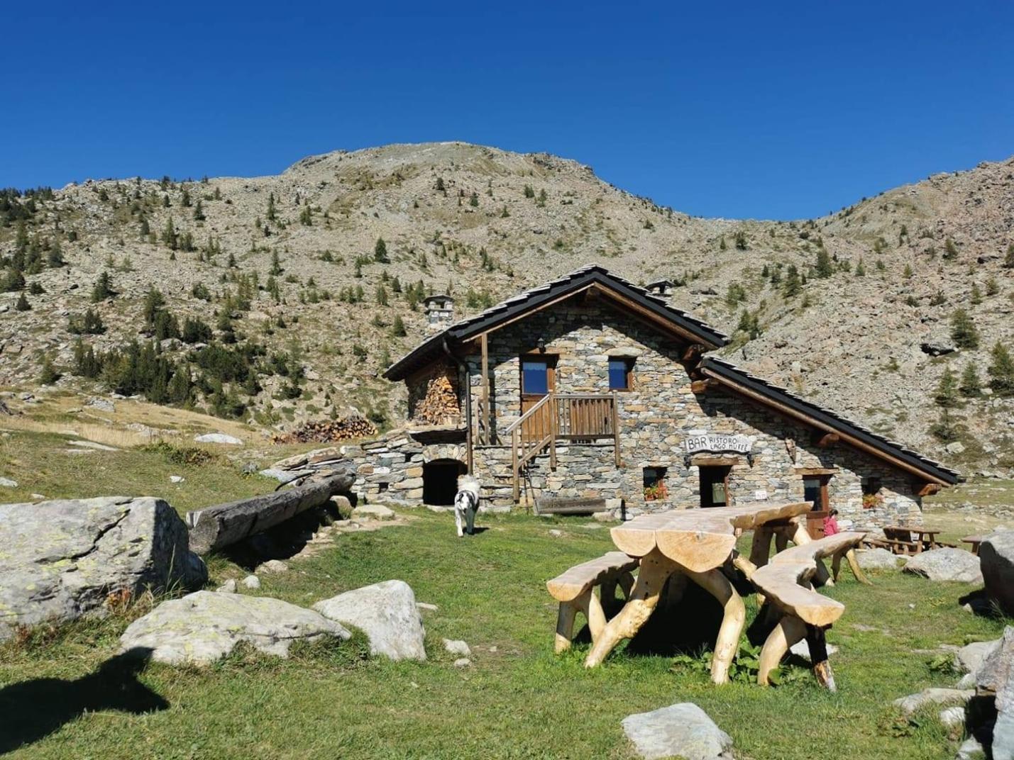
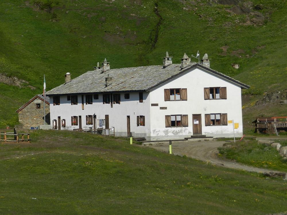
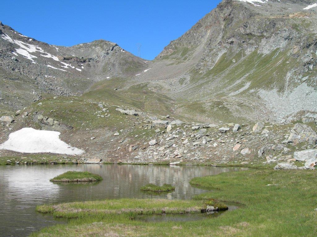
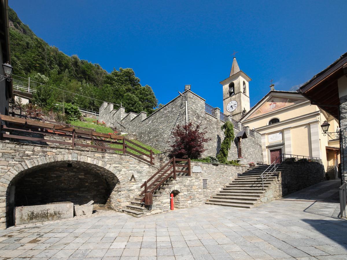
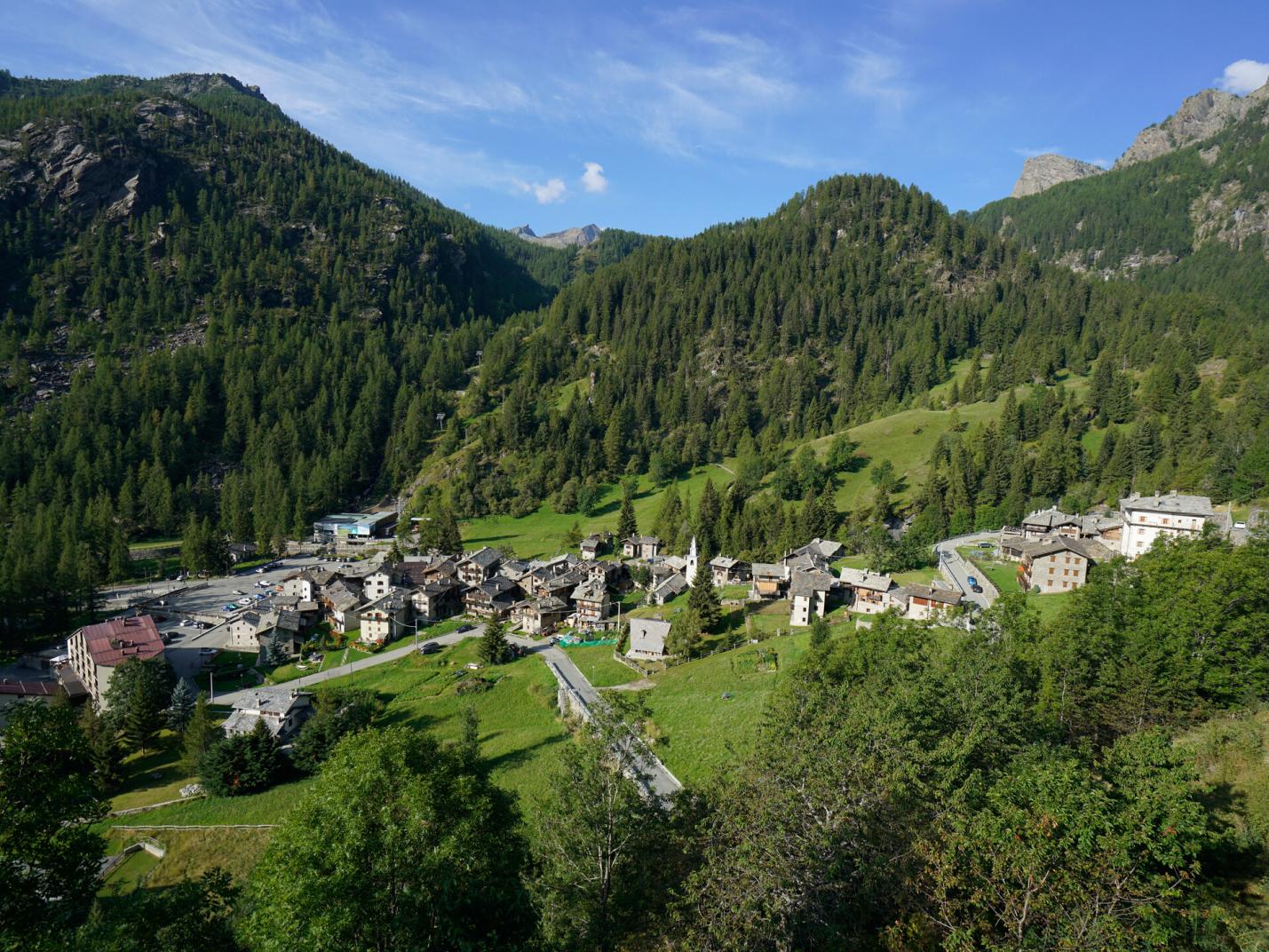
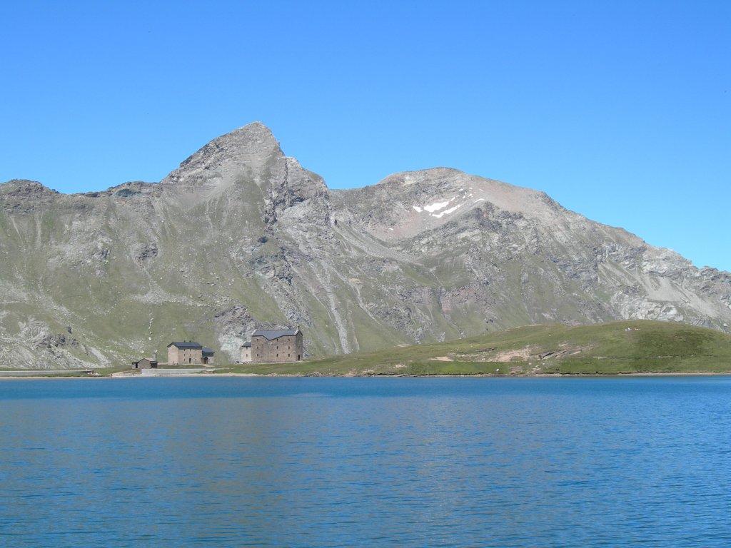
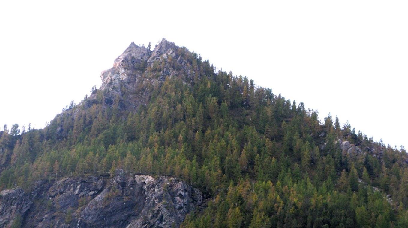
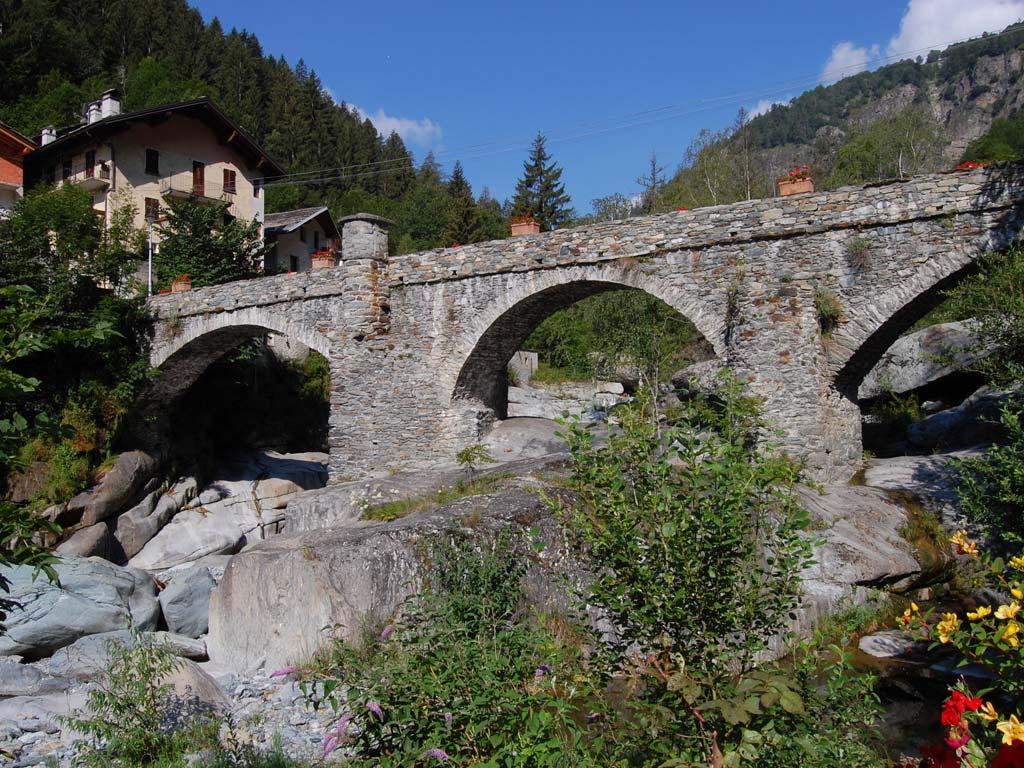
After leaving your car in the large parking area in Chardonnay, walk along the paved road until it ends near the historic center. Then cross the bridge, moving to the right bank of the Ayasse stream and pass a group of houses. From here, climb up to the Laris area via the Royal Road. This section is particularly notable for its scenic beauty. The Royal Road ascends sinuously with many switchbacks, initially passing under the cable car cables, then through forests, old fields, alpine pastures, and the Clos-du-Creux and Praz-Rion pastures. Continue up the Royal Road to a small votive chapel (on the left), where you should proceed straight (left fork leads to a farm road), avoiding the continuation of the Royal Road which here cuts into the forest to the right. After a short climb, you reach the Laris plains, with expansive alpine pastures and abandoned pastures. Follow the farm road, passing to the left of the cable car's terminus (these facilities are open during certain summer periods and can make the hike much easier). Proceed past the cable car terminus along the farm road (which in winter is a ski slope). Be attentive to the left side because, after about 600 meters from the cable car terminus, you need to take the trail (left at an elevation of 2040 m) leading to Lake Vercoche. Leave the farm road and follow the trail approaching a stream. Cross the stream and ascend through the forest until the trail sharply turns left near a large rock. From here, ascend the ridge of Bec Laris and, among the boulders, reach a saddle characterized by reddish rocks. Take a moment here to enjoy the incredible panoramic view and then continue on the trail that traverses the mountain slope. After a nearly flat section, you will enjoy a beautiful view of the lake. The trail then descends through boulders and reaches the lake shore. You can easily walk around the lake. After some rest, a short excursion of a few minutes to Lake Piana (2246 m) is recommended; the trail starts at the end of Lake Vercoche (2210 m, where the dam is visible).

Second Segment: Vercoche – Ourty – Chardonnay (Trail n° 4F, 4, 4H, AV2)
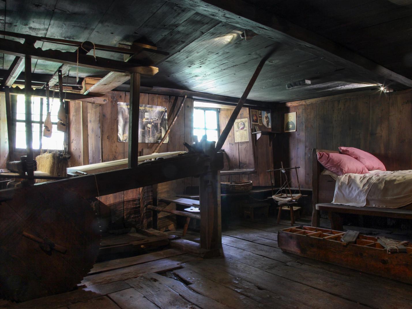
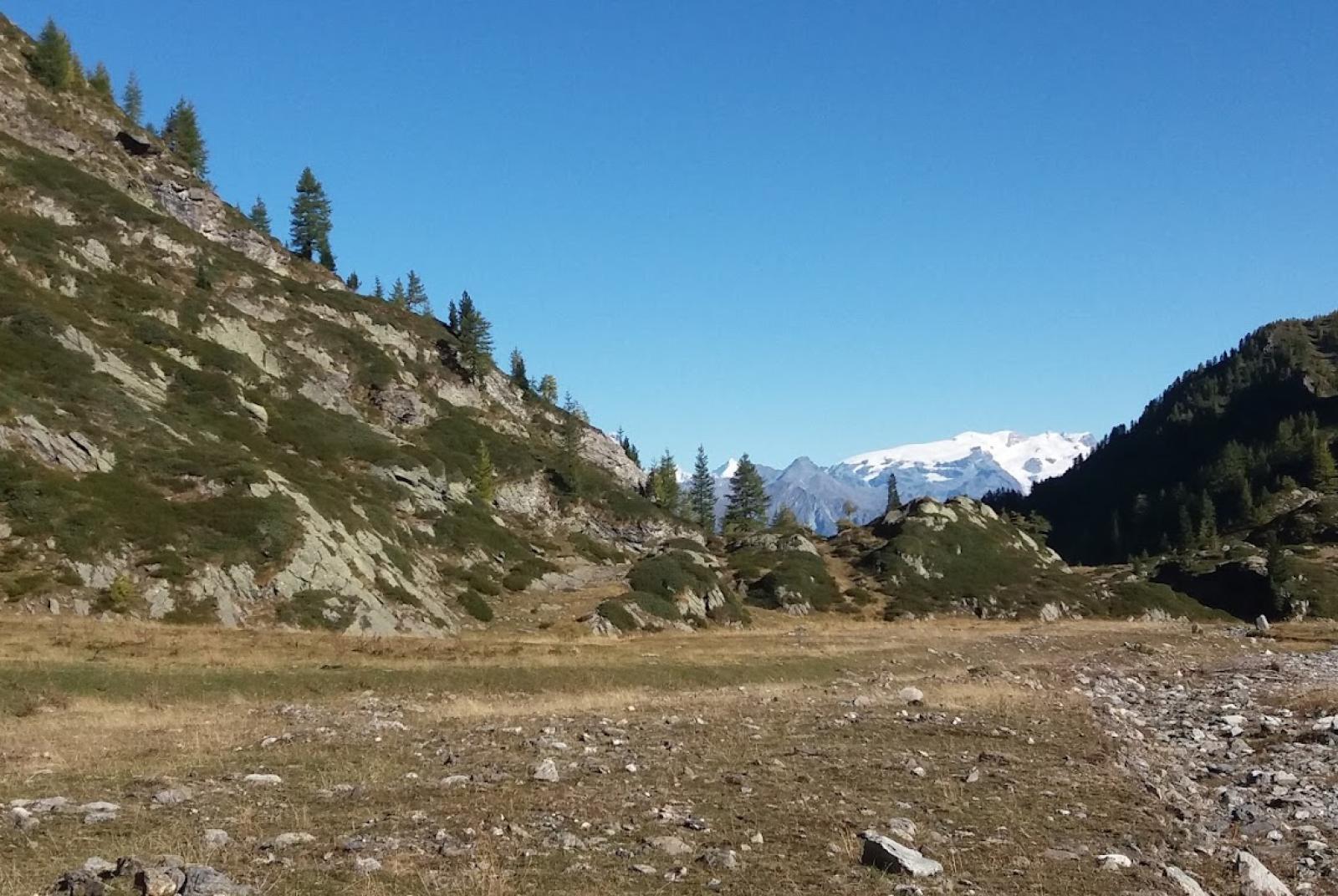
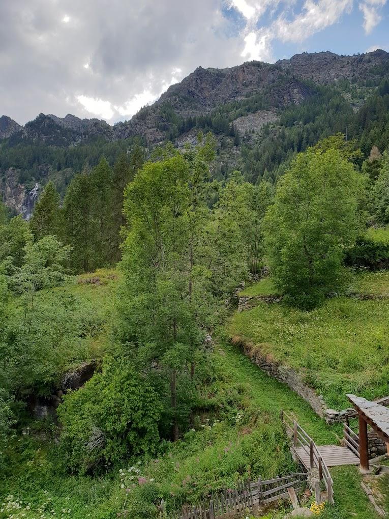
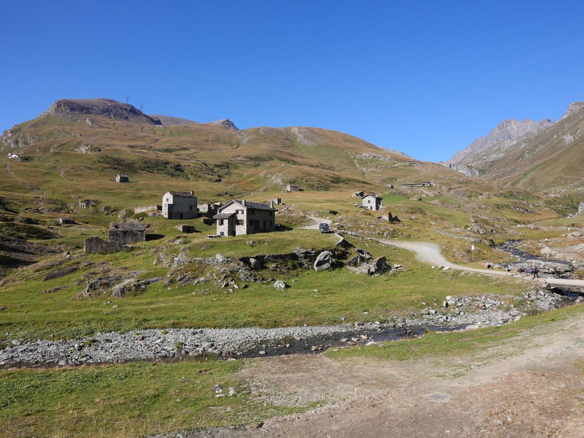
To descend towards the Legna Valley, retrace a few hundred meters back on the ascent trail (towards Laris) to reach an elevation of 2229 m (just after a tourist information sign). Find the trail descending steeply to the right, towards the Legna Valley. Once you find the trail, follow it to the Ourty pasture. This section of the hike is particularly wild and pristine. After a steep descent through several boulder fields, you reach the Vercoche plain and enter a sparse forest. Then cross the Vercoche stream, moving to its right bank, and reach the Vercoche pasture. Cross the long flat alpine meadow to find the trail again (descending to the left of a wooden bridge; do not cross the bridge). From here, descend through forests and boulder fields to the Ourty pasture (1490 m). Continue down the mule track to a group of abandoned houses characterized by a chalet and a monumental tree. In this section, you can savor the beauty of this unique place, admiring the old abandoned houses, the Bois stream, and the mule track descending gently through forests, small cultivated clearings, and large boulders used today for sport climbing. From the ruins (with chalet and monumental tree), find the left fork that will take you back to Castello and then Chardonnay (Trail n° 4H/AV2). This section of the trail crosses a large landslide and traverses the mountain slope to the left. With several ups and downs through the forest, you will arrive at the hamlet of Vignat. It is highly recommended to visit the upper area of the Goilli di Pourtset on the Ayasse stream, located near the intersection between Trail n° 4F and the trail from Outre l’Ève (at an elevation of 1383 m). This 5-minute round trip detour is worth it to admire the incredible erosion created by the Ayasse stream over its millennial course. From here, return to Chardonnay, staying on the right bank of the Ayasse stream until you reach the cable car terminus. You can also move to the regional road once you reach the pine forest area on the left bank of the Ayasse stream.

Technical Notes: Medium difficulty loop trail. The loop becomes significantly easier if you use the lift facilities, which are open during certain summer periods (LINK TO MONTEROSA SKI WEBSITE WITH DAYS AND HOURS). The lifts significantly reduce the elevation gain required and make the loop much easier and more accessible to those with lower physical preparation.

Variants:

  • Lake Vercoche (with ascent from Laris, using lift facilities)
    Trail Markers: 5
    Elevation Gain: 340 m
    Distance: 2.6 km (one way)
    Ascent Time: 1h-1h30
    Descent Time: 0h45-1h15 (return to Laris); 2h45-3h15 (if descending into the Legna Valley; completing the loop)
    Difficulty: E
  • Lake Vercoche (with ascent and descent from Chardonnay)
    Trail Markers: 9B - 9F - AV2 - 5 - 9 - 7 - 7B - 5A - 5B - 7C
    Elevation Gain: 840 m
    Distance: 6.3 km (one way)
    Ascent Time: 2h30-3h
    Descent Time: 1h45-2h15
    Difficulty: E
  • Lake Vercoche (with ascent from Outre l’Ève)
    Trail Markers: 4 - 4F
    Elevation Gain: 1019 m
    Distance: 5.7 km (one way)
    Ascent Time: 3h-3h30
    Descent Time: 2h-2h30 (return to Outre l’Ève); 1h45-2h15 (if descending to Chardonnay)
    Difficulty: E

Details of the tour

Properties

Typology: Trekking

Difficulty: Medium

Ascent: 1016 m

Duration: 5 hours 30 minutes

Distance: 14500 m

Where

Start point
Chardonney 1442 m s.l.m.

Get me there

Destination
Chardonney 1442 m s.l.m.

Find nearby

Ecomuseo della Canapa

0.15km

Valle di Champorcher

Culture

Hemp eco-museum

Località Chardonney , 11020 Champorcher AO

Champorcher

1.12km

Valle di Champorcher

Culture

Medieval tower and parish church

Champorcher, 11020 Champorcher AO

Cappella del gom

6.54km

Valle di Champorcher

Culture

Chapel of Gom

Cappella del Gom, 11020 Pont-Bozet AO

Santuario del Miserin

7.02km

Valle di Champorcher

Culture

Miserin Lake Virgin Mary

Miserin, 11020 Champorcher AO

Ronchas

Walk

0.18km

Valle di Champorcher

Active

Champorcher – Dondena

Champorcher

Alpinism

0.19km

Valle di Champorcher

Adrenaline

Dry Tooling

Champorcher

Trekking

0.22km

Valle di Champorcher

Active

Belvedere of the house in the woods

Duration: 1 hour 20 minutes

Length: 1350 m

Difficulty: Medium

Cima piana

Trekking

0.68km

Valle di Champorcher

Active

Cima Piana

Duration: 5 hours

Length: 8100 m

Difficulty: Medium

Rifugio barbustel

Trekking

0.86km

Valle di Champorcher

Active

Refuge Barbustel

Duration: 2 hours 30 minutes

Length: 3400 m

Difficulty: Medium

Champdepraz

Trekking

0.86km

Valle di Champorcher

Active

Between Champorcher and Champdepraz

Duration: 5 hours

Length: 10400 m

Difficulty: Medium

Aplinismo

Alpinism

1.10km

Valle di Champorcher

Adrenaline

Approach to Mountaineering

Tour

Trekking

1.11km

Valle di Champorcher

Active

Tor des Géants – 4k Trail

Length: 25000 m

Difficulty: High

Vallone dondena

Walk

1.11km

Valle di Champorcher

Active

Champorcher Dondena

Punta Zuc

Trekking

1.11km

Valle di Champorcher

Active

Punta dello Zuc

Duration: 3 hours

Length: 6000 m

Difficulty: Medium

Frassiney

Walk

1.12km

Valle di Champorcher

Active

Frassiney – La Bourney

Lago Miserin

Alpinism

1.12km

Valle di Champorcher

Adrenaline

Costazza

Lago vercoche

Walk

1.13km

Valle di Champorcher

Active

Champorcher – Vercoche < 2h

Champorcher

Walk

1.13km

Valle di Champorcher

Active

Ourty

Alpinismo

Alpinism

1.13km

Valle di Champorcher

Adrenaline

Mousaillon

Ayasse

Walk

1.14km

Valle di Champorcher

Active

Champorcher Pineta

Zuc

Walk

1.15km

Valle di Champorcher

Active

Zuc

Col Fenetre

Walk

1.32km

Valle di Champorcher

Active

Monpey

Frassiney

Walk

2.35km

Valle di Champorcher

Active

Anello Frassiney – Outrelève

Val Alleigne

Alpinism

2.36km

Valle di Champorcher

Adrenaline

Punta Vorrea

Happy Trekking Monterosa

24.32km

Active

Happy Trekking in Gressoney

Promotion valid from June 1 to September 15

Villa Deslex, 11025 Gressoney-Saint-Jean AO

Minimarket Gabry Champorcher

0.08km

Valle di Champorcher

In town

MINIMARKET GABRY

Frazione Chardonney, 120, 11020 champorcher AO

Trottola

0.11km

Valle di Champorcher

Culture

La Trottola Champorcher

Frazione Chardonney 120 B, 11020 Champorcher AO

Champorcher Pharmacy

0.99km

Valle di Champorcher

Wellness

CHAMPORCHER PHARMACY

Frazione Vignat n° 24, 11020 champorcher AO

1.10km

Valle di Champorcher

In town

BUTCHER’S SHOP DE ROSSO ISIDORO

loc. Chateau 9, 11020 Champorcher AO

Birrificio

1.13km

Valle di Champorcher

Food

Birrificio Champorcher

Champorcher, 11020 Champorcher AO

Negozio

24.32km

Valle di Champorcher

Wellness

AZIENDA AGRICOLA MONTIFLOR L’ERBA DEL VICINO

FRAZIONE Chardoney, 38, 11020 Champorcher AO

0.05km

Valle di Champorcher

Bistrot De l’Abbe

Frazione Chardonney 120/A, 11020 Champorcher AO

Ski man – bar restaurant

0.09km

Valle di Champorcher

Ski man – bar restaurant

Loc. Chardonney 88, 11020 Champorcher AO

Bar

0.64km

Valle di Champorcher

Bar Le Foyer du Fond Champorcher

località Le Vignat 18, 11020 Champorcher AO

Bar ristoro lago muffe

1.84km

Valle di Champorcher

BAR RISTORO LAGO MUFFE’

Lago Muffe, 11020 champorcher AO

le relais des reines

1.98km

Valle di Champorcher

RESTAURANT LE RELAIS DES REINES

Frazione Vigneroisa, 8, 11020 Champorcher AO

Restaurant mellier

2.32km

Valle di Champorcher

RESTAURANT BAR MELLIER

frazione mellier 85, 11020 CHAMPORCHER AO

Le Moulin Des Aravis

4.45km

Valle di Champorcher

RESTAURANT LE MOULIN DES ARAVIS

Frazione Savin, 55, 11020 Pontboset AO

Restaurant Chez Isabel

6.21km

Valle di Champorcher

RESTAURANT CHEZ ISABEL

Loc. Pont Bozet 96, 11020 Pontboset AO

0.06km

Valle di Champorcher

HOTEL PETIT PARADIS

fraz. Chardonney, 11020 Champorcher AO

Maison Nicole

0.08km

Valle di Champorcher

Maison Nicole

fraz. Chardonney 94, 11020 Champorcher AO

Revivre Village

0.31km

Valle di Champorcher

REVIVRE VILLAGE | Adults Only

Frazione Ronchas 11, 11020 Champorcher AO

REVIVRE VILLAGE

0.31km

Valle di Champorcher

REVIVRE VILLAGE

Fraz. Ronchas 11, CHAMPORCHER AO

Book now

ALBERGO CASTELLO DA BONINO

1.10km

Valle di Champorcher

ALBERGO CASTELLO DA BONINO

Loc.Castello, 53, CHAMPORCHER AO

Book now

1.14km

Valle di Champorcher

HOTEL CASTELLO

Località Castello, 53, 11020 Champorcher AO

Relais des reines

1.98km

Valle di Champorcher

FARMHOUSE LE RELAIS DES REINES

Frazione Vigneroisa, 8, 11020 Champorcher AO

2.13km

Valle di Champorcher

B&B LA BRENVA

Fraz Verana 49, 11020 Champorcher AO

Casa Verana

2.14km

Valle di Champorcher

CASA VERANA

fraz. Verana 33, 11020 Champorcher AO

Hotel restaurant Beausejour

2.16km

Valle di Champorcher

Hotel restaurant Beausejour

Frazione Lore' 1, 11020 Champorcher AO

Rifugio barbustel

3.45km

Valle di Champorcher

Rifugio Barbustel

Località Lago Bianco, 11020 Champdepraz AO

4.12km

Valle di Champorcher

B&B LA BORMA DI POMBO

loc Barmacrepa 4, 11020 Pontboset AO

Le Moulin Des Aravis

4.41km

Valle di Champorcher

LE MOULIN DES ARAVIS

loc. Savin 55, 11020 Pontboset AO

AGRITURISMO LE MOULIN DES ARAVIS

4.47km

Valle di Champorcher

AGRITURISMO LE MOULIN DES ARAVIS

frazione Savin, n. 55, PONTBOSET AO

Book now

Dondena Refuge

4.50km

Valle di Champorcher

DONDENA REFUGE

Località Dondena, 11020 Champorcher AO

Li Tzatagni

5.70km

Valle di Champorcher

LI TZATAGNI

fraz La Chateigne, 11020 Pontboset AO

CHAMBRES D'HOTES LI TZATAGNI

5.72km

Valle di Champorcher

CHAMBRES D'HOTES LI TZATAGNI

fraz. Chateigne, PONTBOSET AO

Book now

HOTEL CHEZ ISABEL

6.21km

Valle di Champorcher

HOTEL CHEZ ISABEL

Fraz. Pont-Bozet, 95, PONTBOSET AO

Book now

Hotel ristorante Chez Isabel

6.22km

Valle di Champorcher

HOTEL CHEZ ISABEL

Loc. Pont Bozet 96, 11020 Pontboset AO

Ostello La Cresta del Lupo

6.39km

Valle di Champorcher

Ostello La Cresta del Lupo

loc. Pont-Bozet, 31, 11020 Pontboset AO

On the same topic

Lago Cornuto

Trekking

Valle di Champorcher

Active

Horned Lake

Lago Muffè

Trekking

Valle di Champorcher

Active

Muffé Lake, Raty/Raté Lake and other lakes - Medium Version

Duration: 4 hours 30 minutes

Length: 11700 m

Difficulty: Medium

Rifugio Barbustel

Trekking

Valle di Champorcher

Active

Barbustel – Miserin – Dondena

Outre l'eve

Walk

Valle di Champorcher

Active

Outrelève – Troumé

Vallone dondena

Walk

Valle di Champorcher

Active

Champorcher Dondena

Frassiney

Walk

Valle di Champorcher

Active

Frassiney – La Bourney

Lago vercoche

Walk

Valle di Champorcher

Active

Champorcher – Vercoche < 2h

Pontboset retempio

Trekking

Valle di Champorcher

Active

Shrine of Retempio 2-5 h

Perruchon

Trekking

Valle di Champorcher

Active

Between water and centuries-old villages

Duration: 1 hour

Length: 1800 m

Difficulty: Medium

Dondena

Walk

Valle di Champorcher

Active

Dondena – Pian de Roche

Tour

Trekking

Valle di Champorcher

Active

Tor des Géants – 4k Trail

Length: 25000 m

Difficulty: High

Champorcher

Trekking

Valle di Champorcher

Active

Between Champorcher and Gimillan

Duration: 10 hours

Length: 23000 m

Difficulty: High

Lago vercoche

Walk

Valle di Champorcher

Active

Bois, Lake Chilet and Vercoche

Cima piana

Trekking

Valle di Champorcher

Active

Cima Piana

Duration: 5 hours

Length: 8100 m

Difficulty: Medium

Lago

Trekking

Valle di Champorcher

Active

Anello Gran Lago

Pontboset

Trekking

Valle di Champorcher

Active

Trek Pont Boset Mont Blanc

Rosa dei banchi

Alpinism

Valle di Champorcher

Active

Rosa dei Banchi

Duration: 10 hours

Length: 20000 m

Difficulty: High

Miserin

Trekking

Valle di Champorcher

Active

Miserin Refuge and Sanctuary

Duration: 3 hours

Length: 7200 m

Difficulty: Medium

Champorcher

Trekking

Valle di Champorcher

Active

Pontboset skyrace

Champorcher

Walk

Valle di Champorcher

Active

Ourty