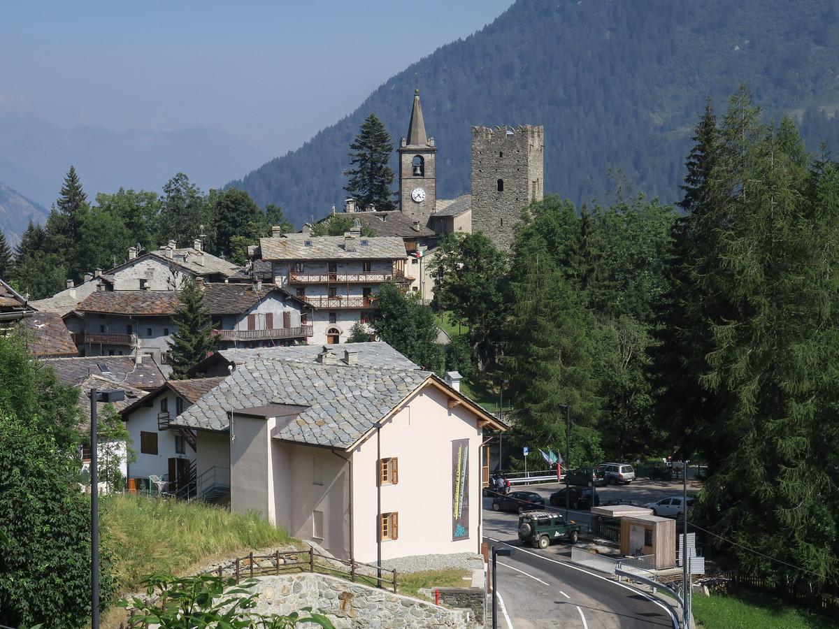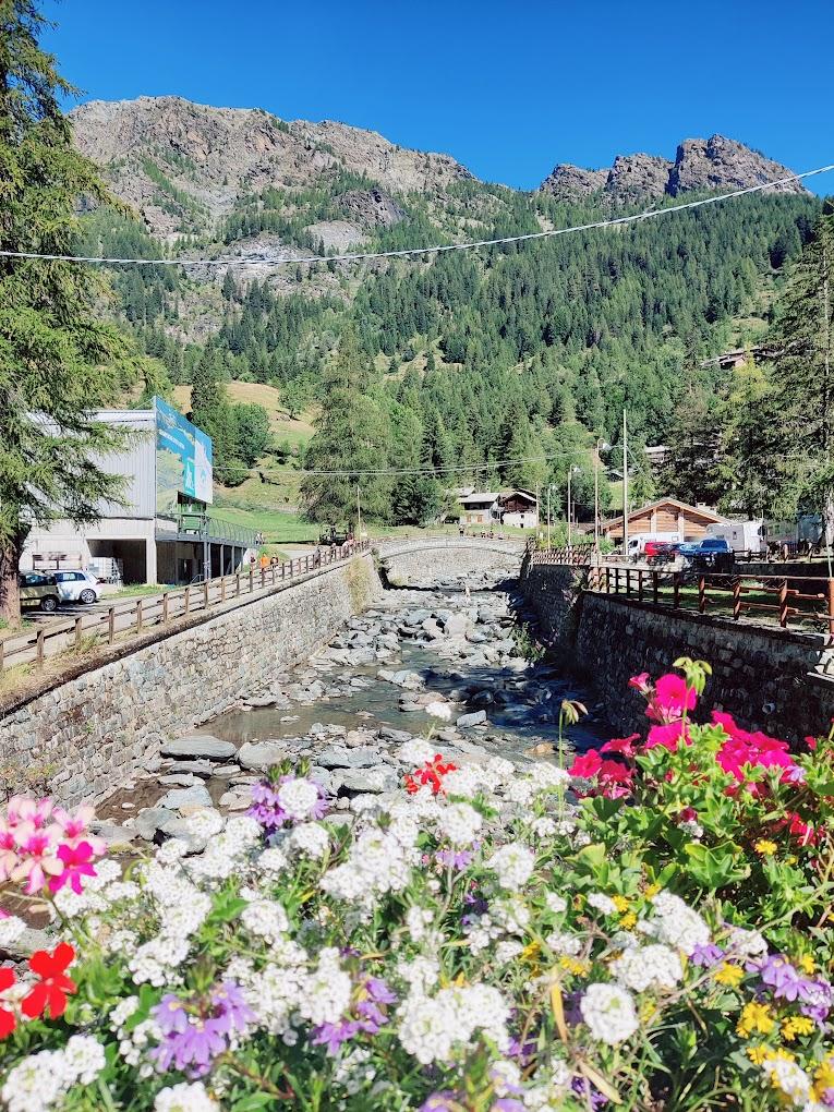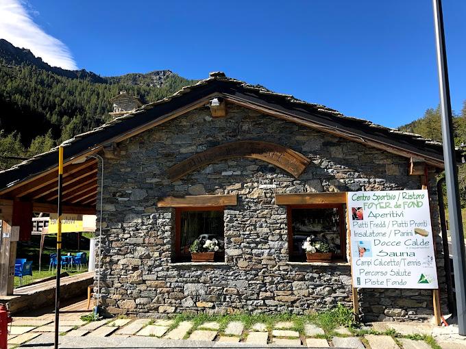
First Section: Piazzale Dondena – Col Fenêtre (Trails n° AV2 and 7)
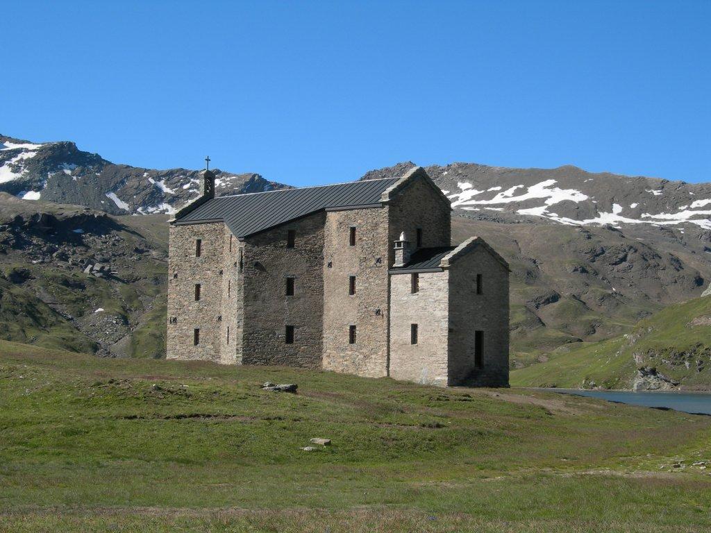
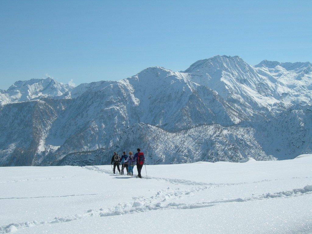
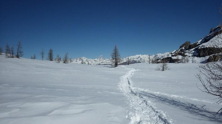
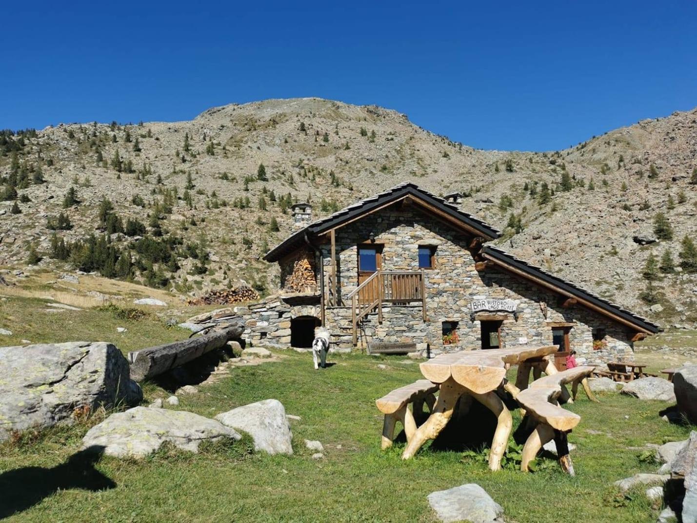
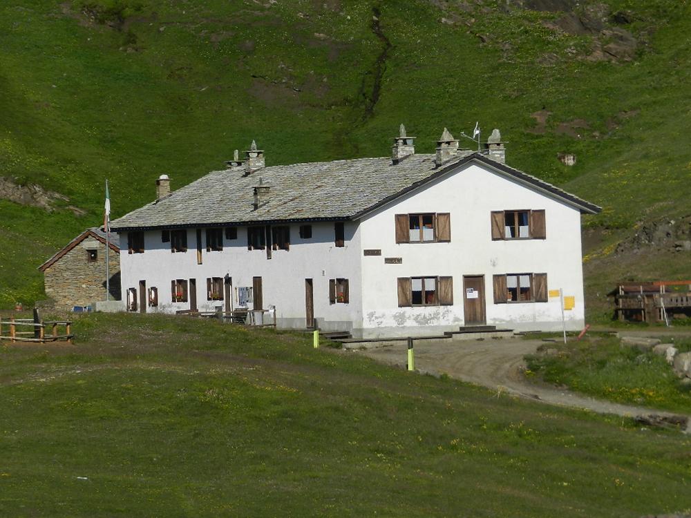
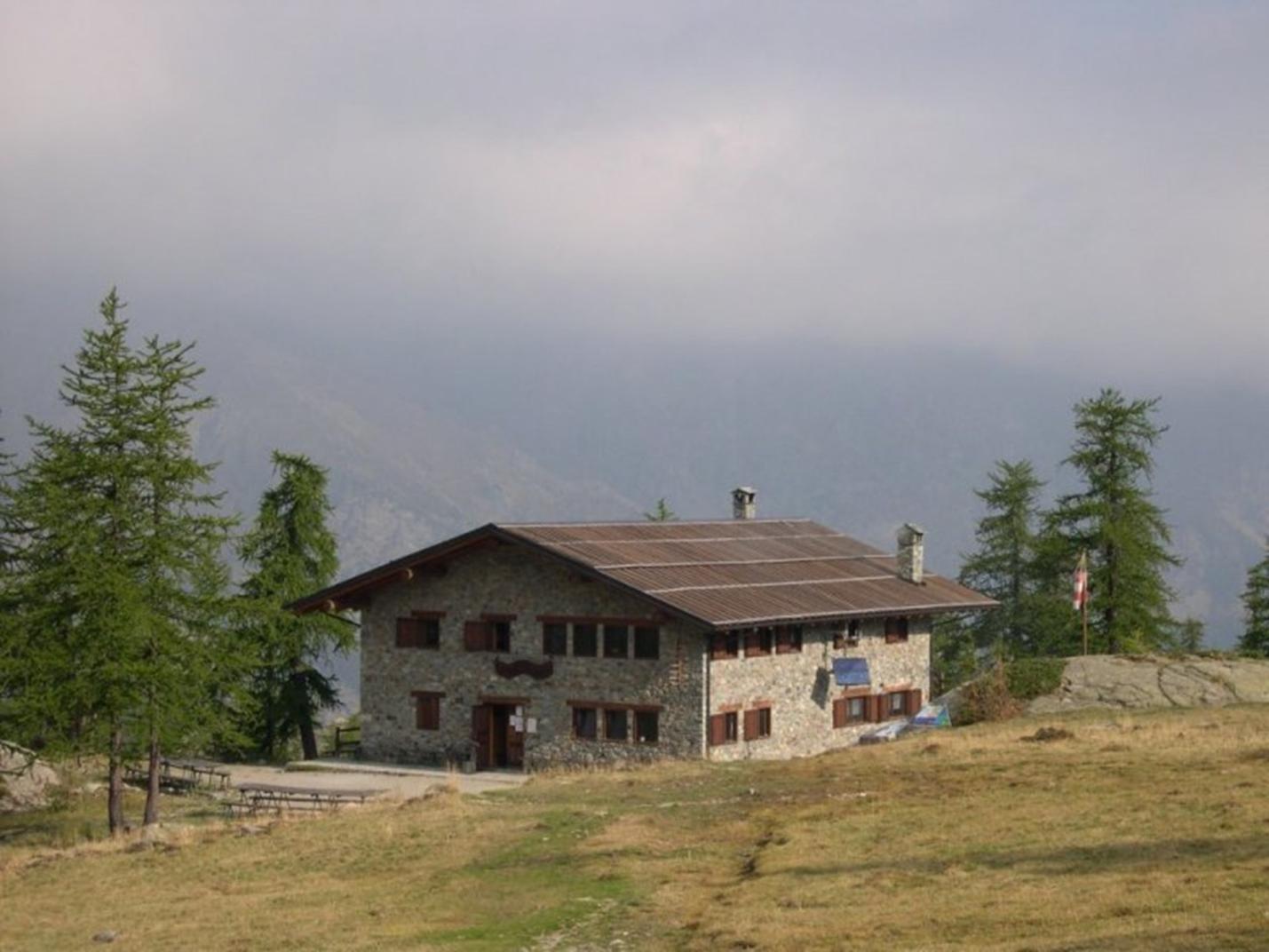
After leaving the car, ascend to Rifugio Dondena (2185 m asl) via the dirt road, formerly a royal road dating back to 1862, which passes by several old hunting lodges. Once at the refuge, leave the dirt road going right and take the left dirt road (ascending towards Cimetta Rossa). Continue on the dirt road for a few hundred meters to reach the right turn for trail n° 7 (about 2230 m asl). Turn right and follow trail n° 7 to Lago del Miserin (avoiding the left turn for trail 6B/6C at about 2250 m asl). This section of the route gently ascends towards Lago Miserin, passing through high-altitude alpine pastures with beautiful views of the high Champorcher valley and surrounding mountains. Once at Lago del Miserin, turn right towards the Madonna delle Nevi Sanctuary and Rifugio del Miserin (2582 m asl), where it is advisable to take a break after visiting the historic sanctuary. From Rifugio del Miserin, cross the stream flowing from the lake and take the trail ascending to Col Fenêtre. This trail crosses meadows, scree, and rocky areas until reaching Col Fenêtre di Champorcher (2827 m asl). From here, enjoy panoramic views of both the Champorcher Valley and the Cogne Valley.
Second Section: Col Fenêtre – Rifugio Sogno di Berdzé – Lillaz (Trails n° AV2/13 and 13L)
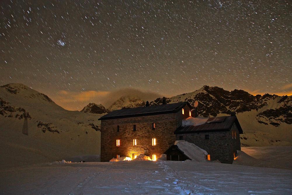
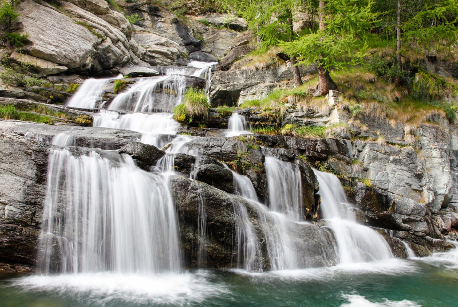
From Col Fenêtre, descend on trail n° AV2/13, which features several steep switchbacks, until you reach Rifugio Sogno di Berdzé (2526 m asl). Then, descend on the dirt road for about 600 meters and find the continuation of trail n° AV2/13, which leaves the dirt road and continues through meadows and pastures to the left. Continue on this trail and avoid trail n° 13A (which descends to the right). The trail features some ups and downs and passes through a sparse forest until it reaches a hut. From here, the trail crosses the stream and continues traversing towards Cogne/Lillaz, initially passing through a pasture and then entering the forest. The trail descends through the dense forest until crossing the Urtier Stream, passing on the right bank of the valley. Pass near the Goilles-dessous and Goilles-dessus huts (without ascending to the dirt road but continuing on trail n° AV2/13, which remains on the left). Upon reaching above Lillaz, near the junction with the dirt road (about 1695 m asl), it is recommended to leave trail n° AV2/13 and take trail n° 13L to visit the Lillaz Waterfalls. After visiting this magical place, head to Lillaz via the dirt road along the left bank of the stream.