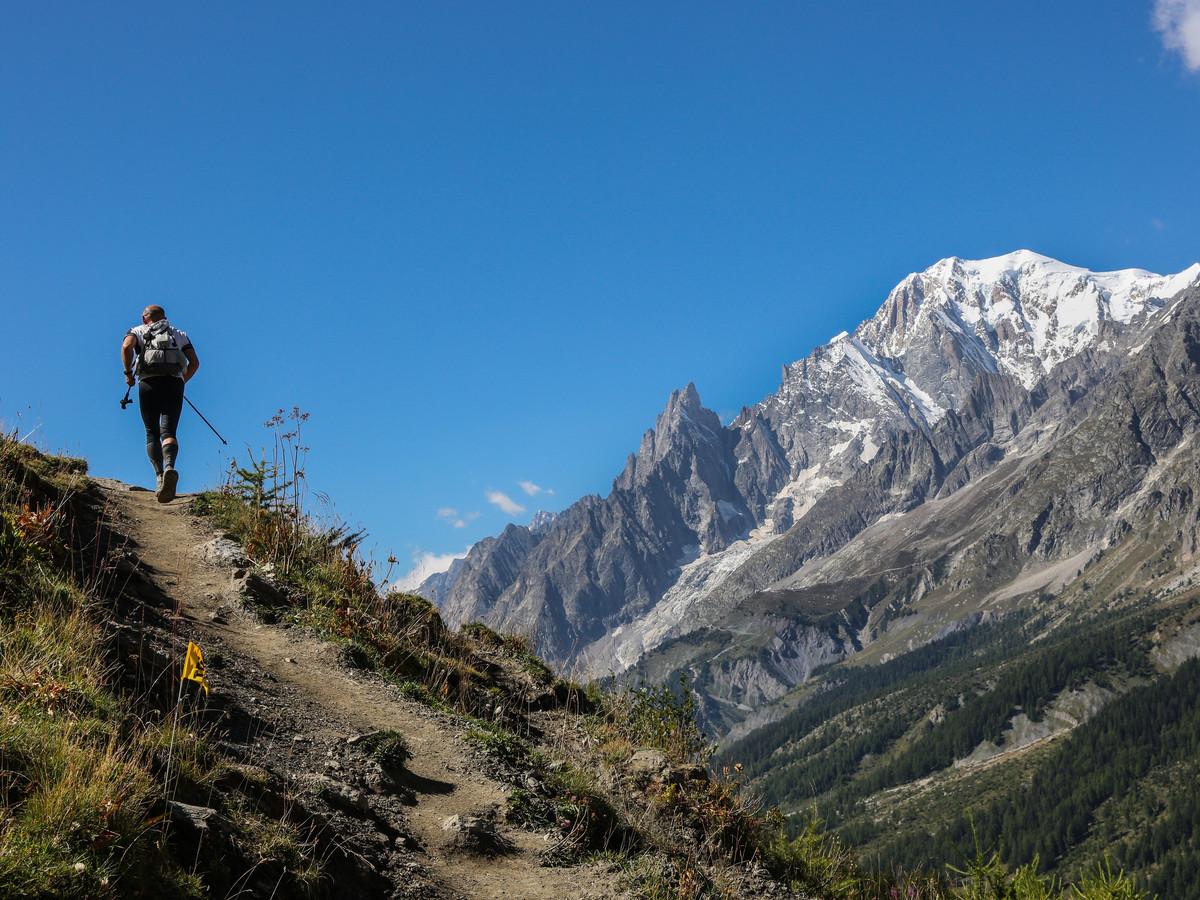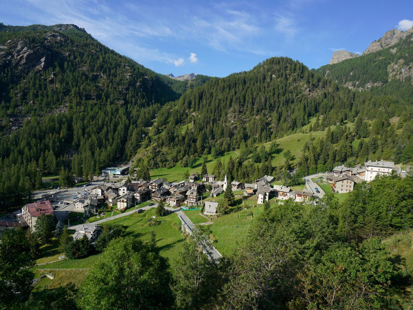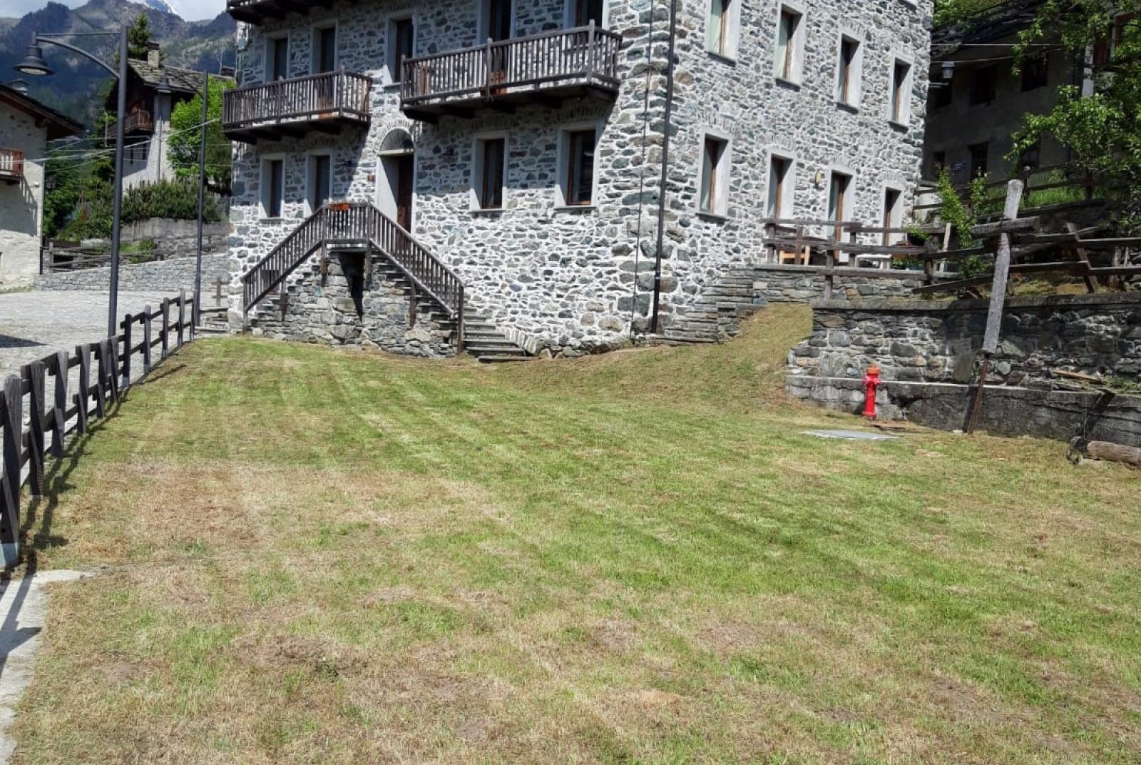
This crossing offers two versions that explore extensive parts of the Mont Avic Natural Park, traversing the upper Valle di Champorcher and the Valle di Champdepraz. Both routes share the section from Remoran to the Rifugio Barbustel, but differ in the final descent. The first version uses Trail n°5C, a classic route for descending, while the second version uses Trail n°5/5A, a less frequented and more rugged path.
First Section: Remoran – Rifugio Barbustel (Trail n° 10 - 5)
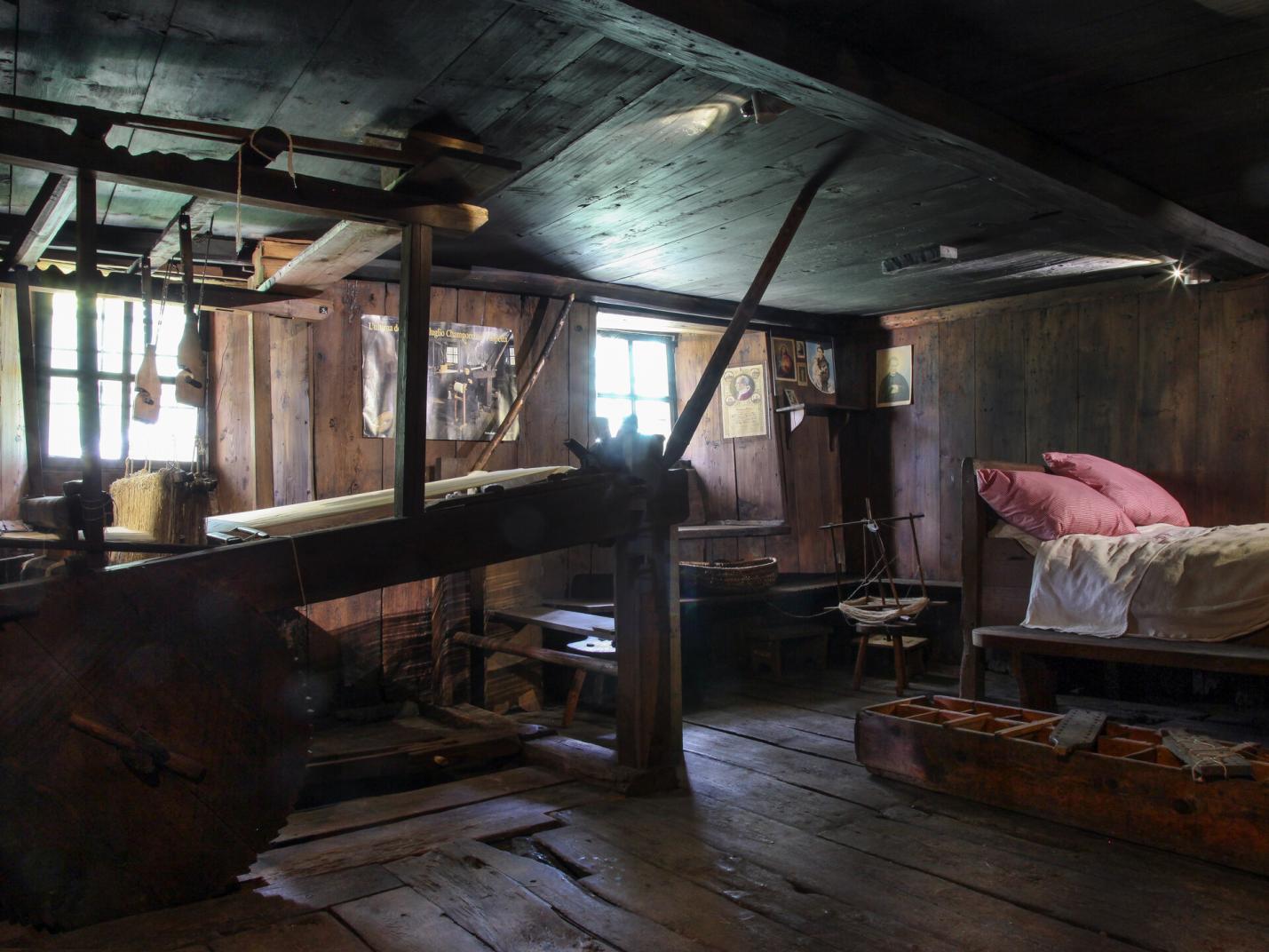
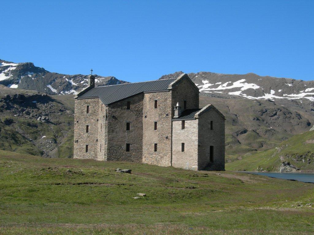
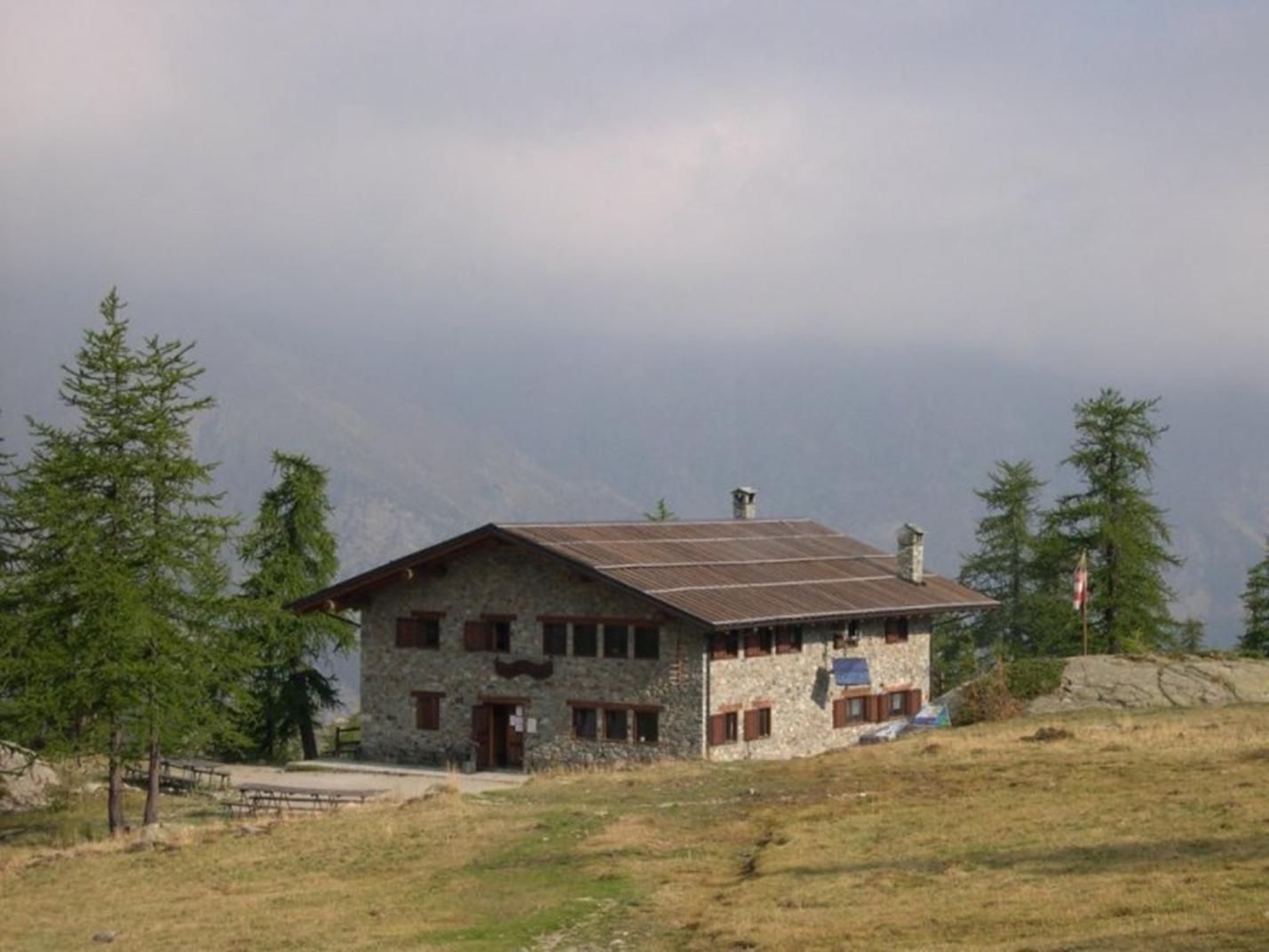
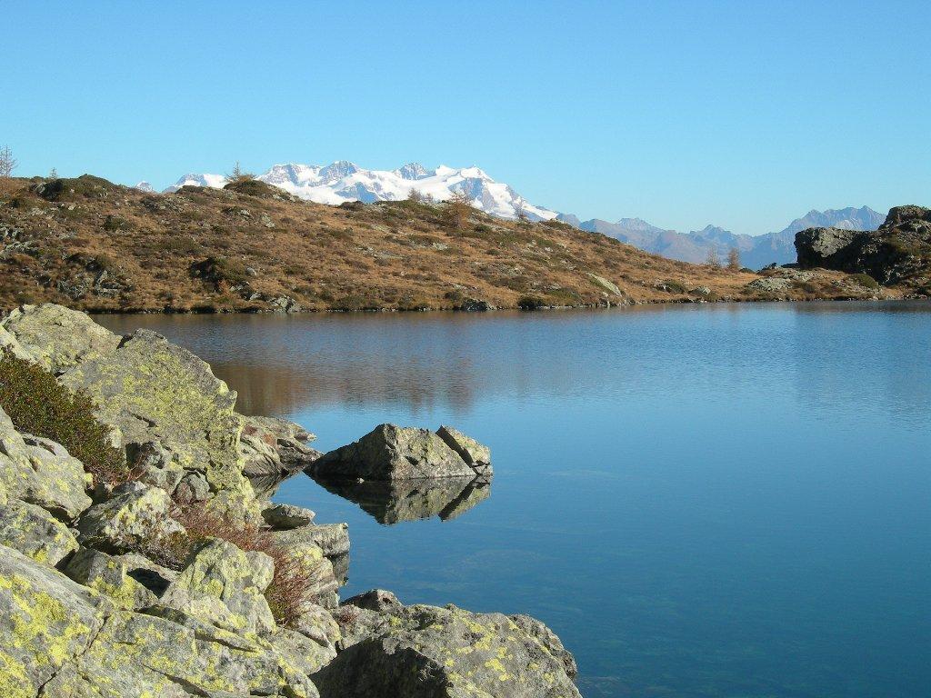
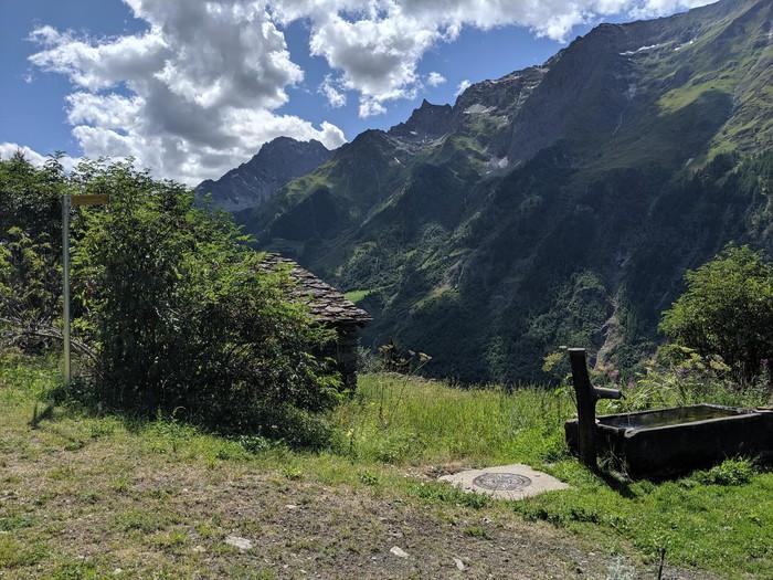
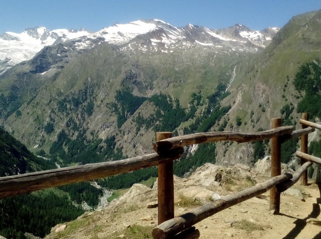
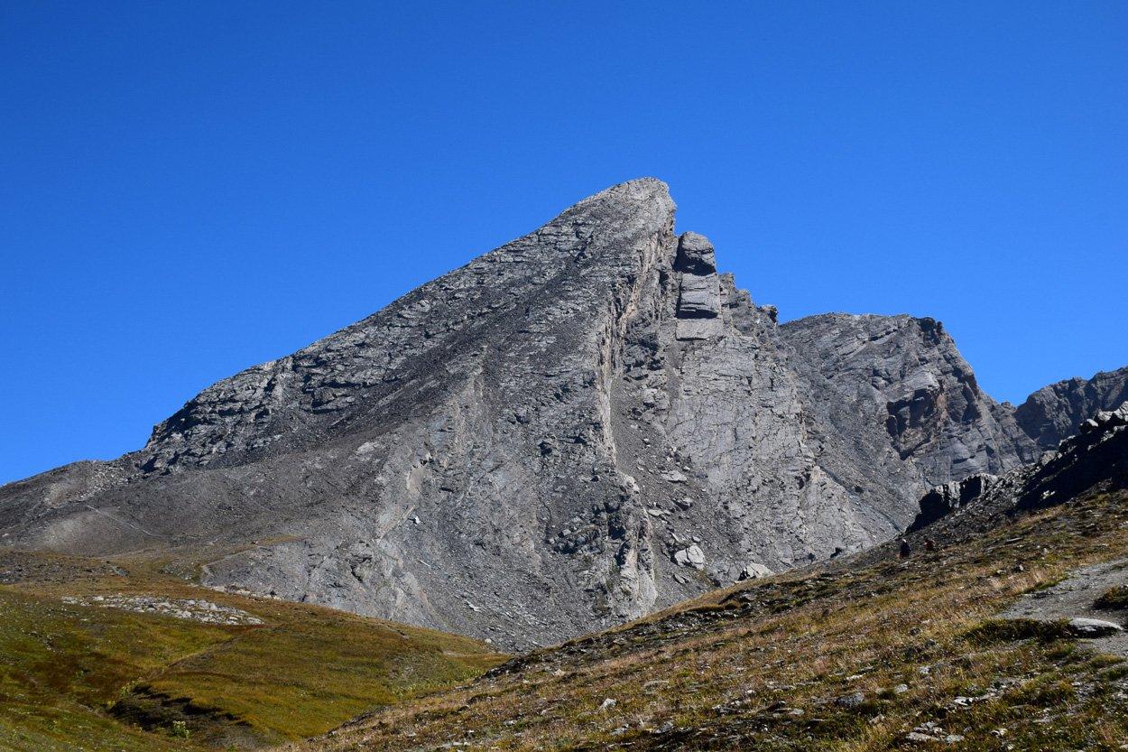
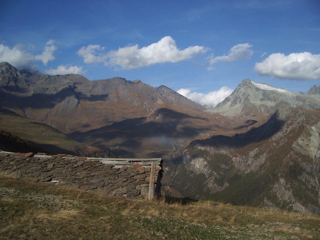
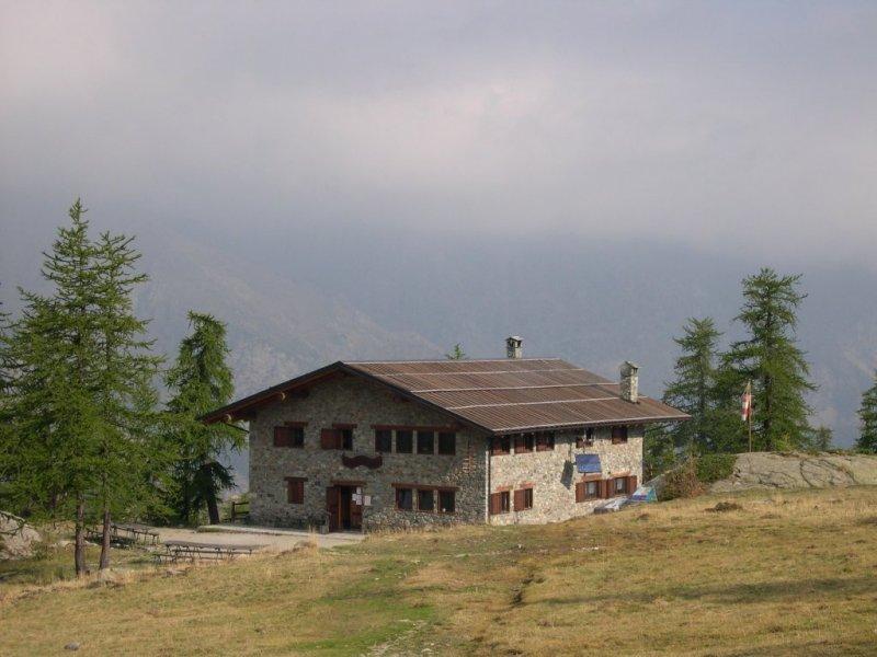
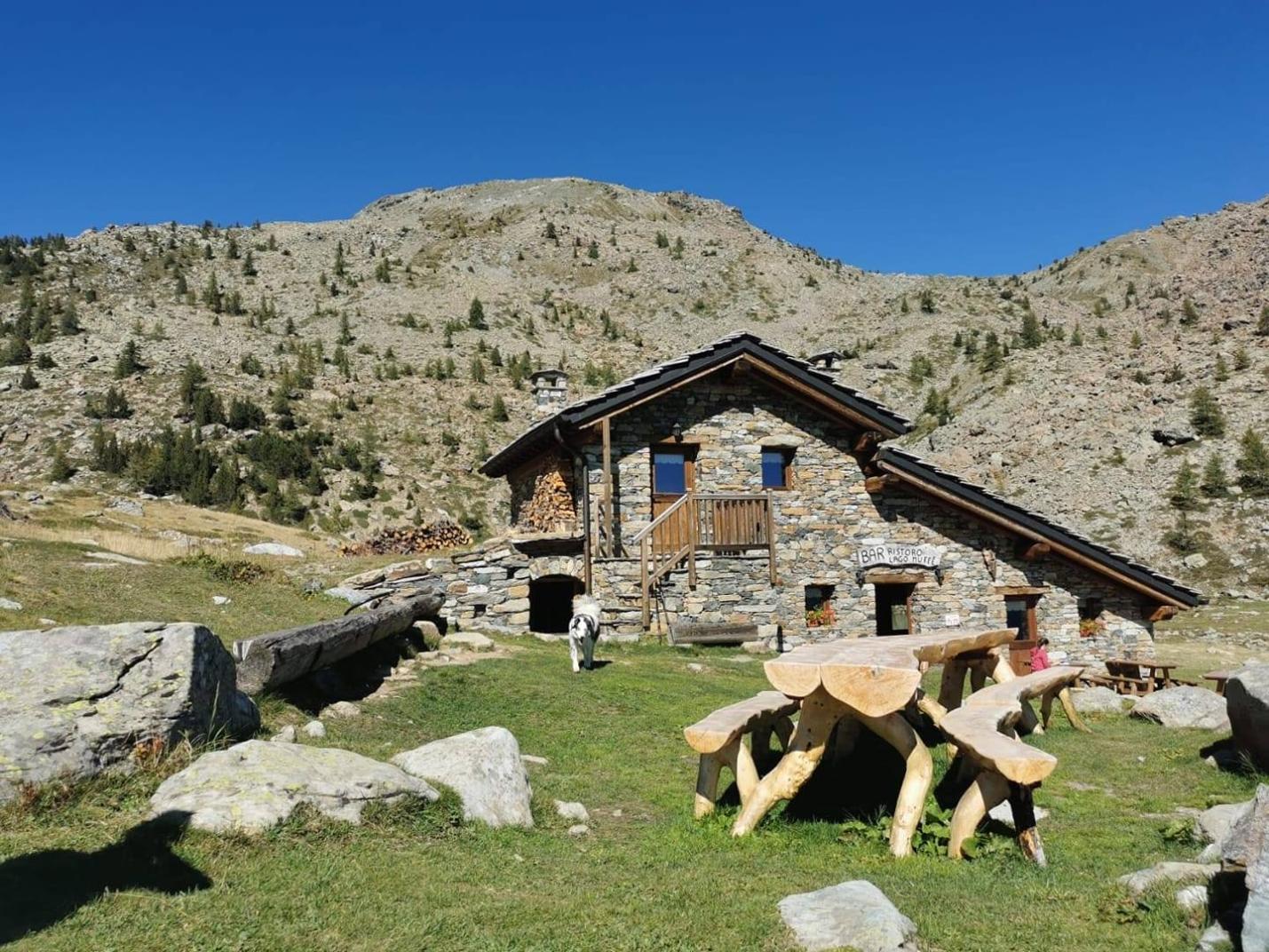
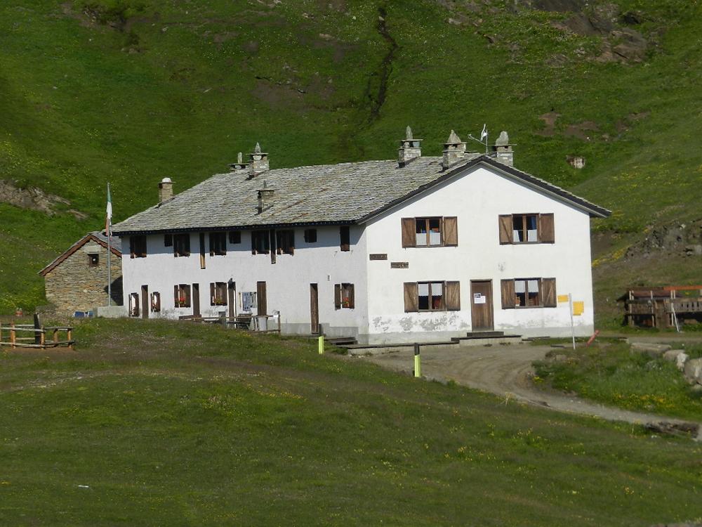
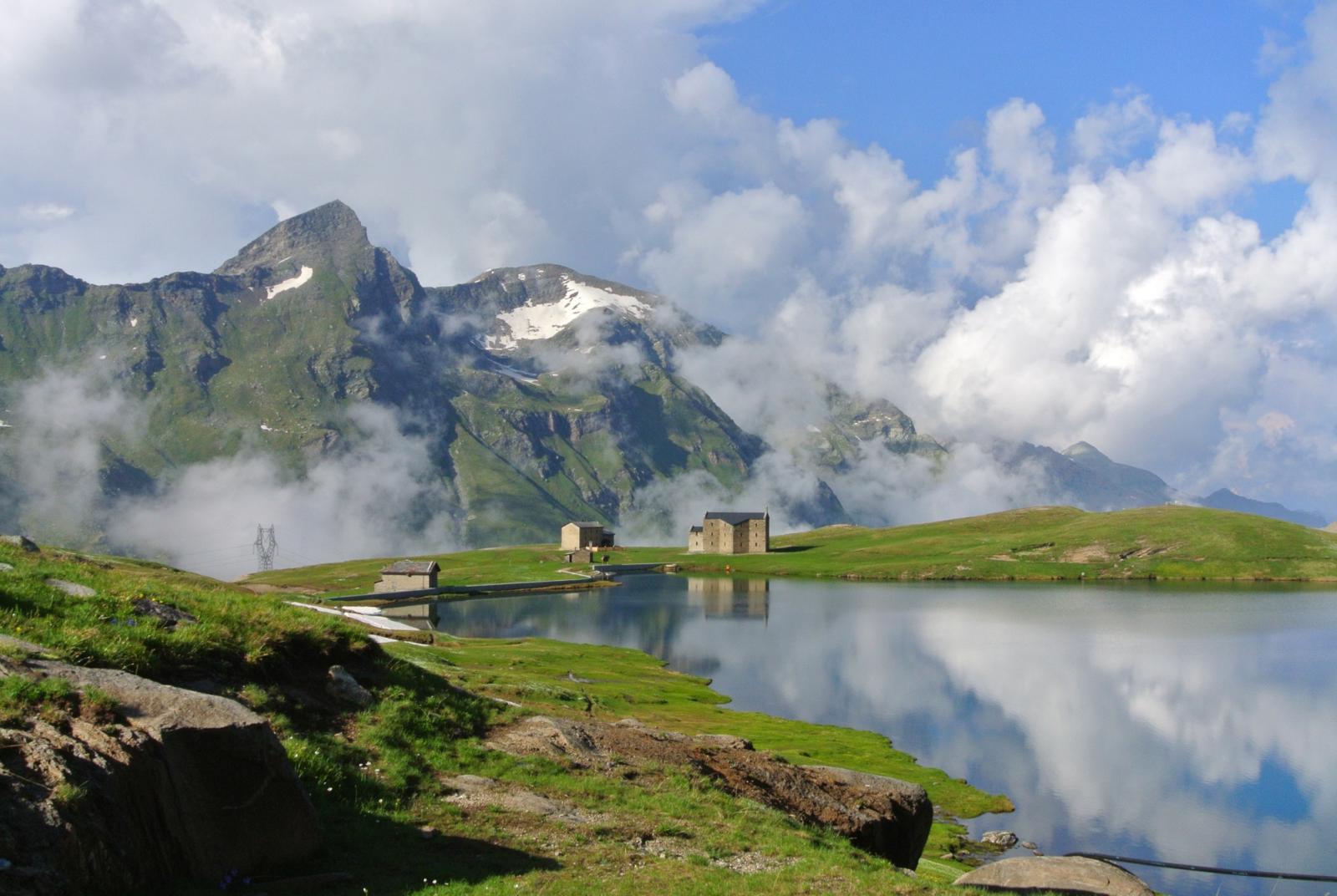
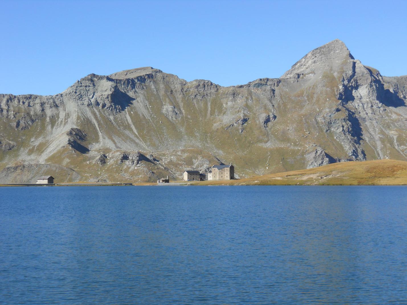
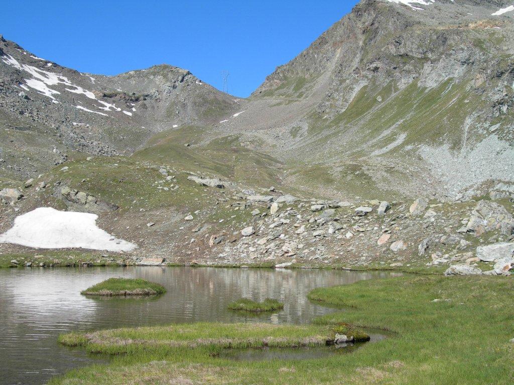
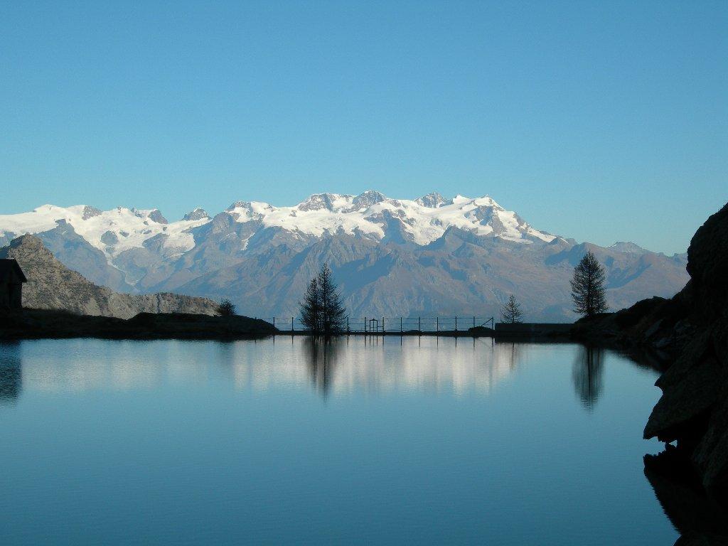
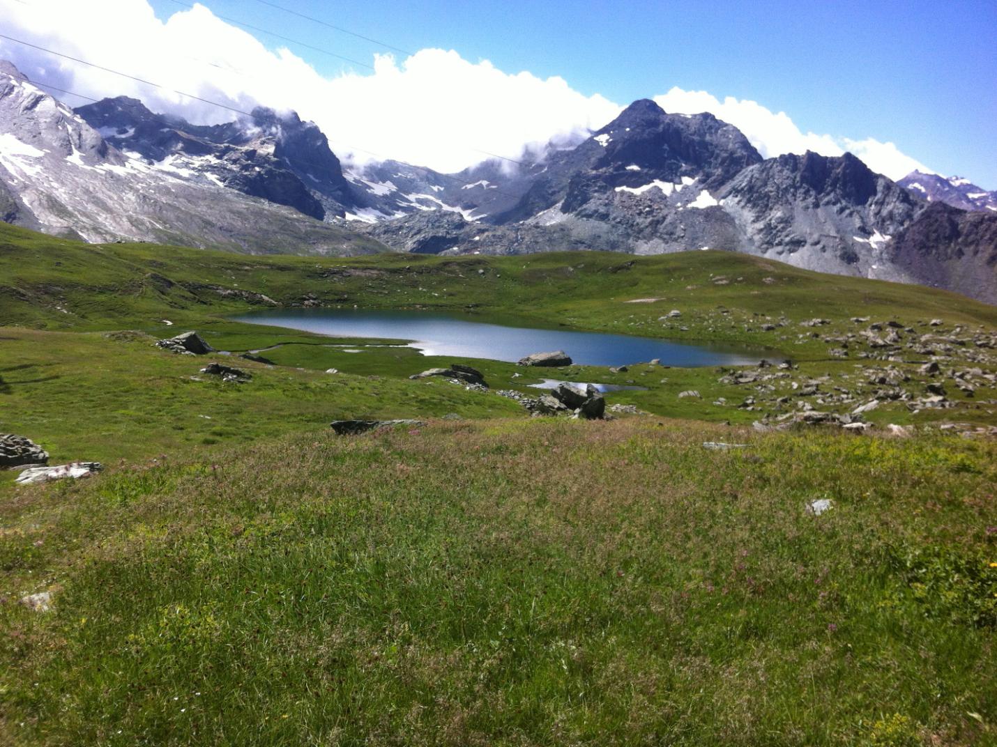
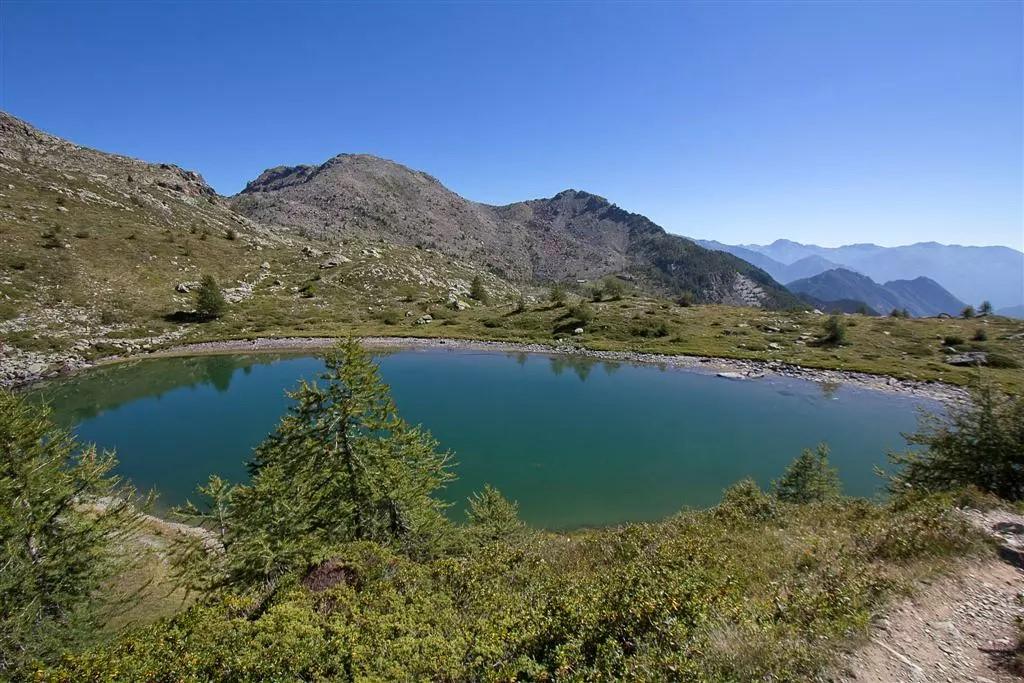
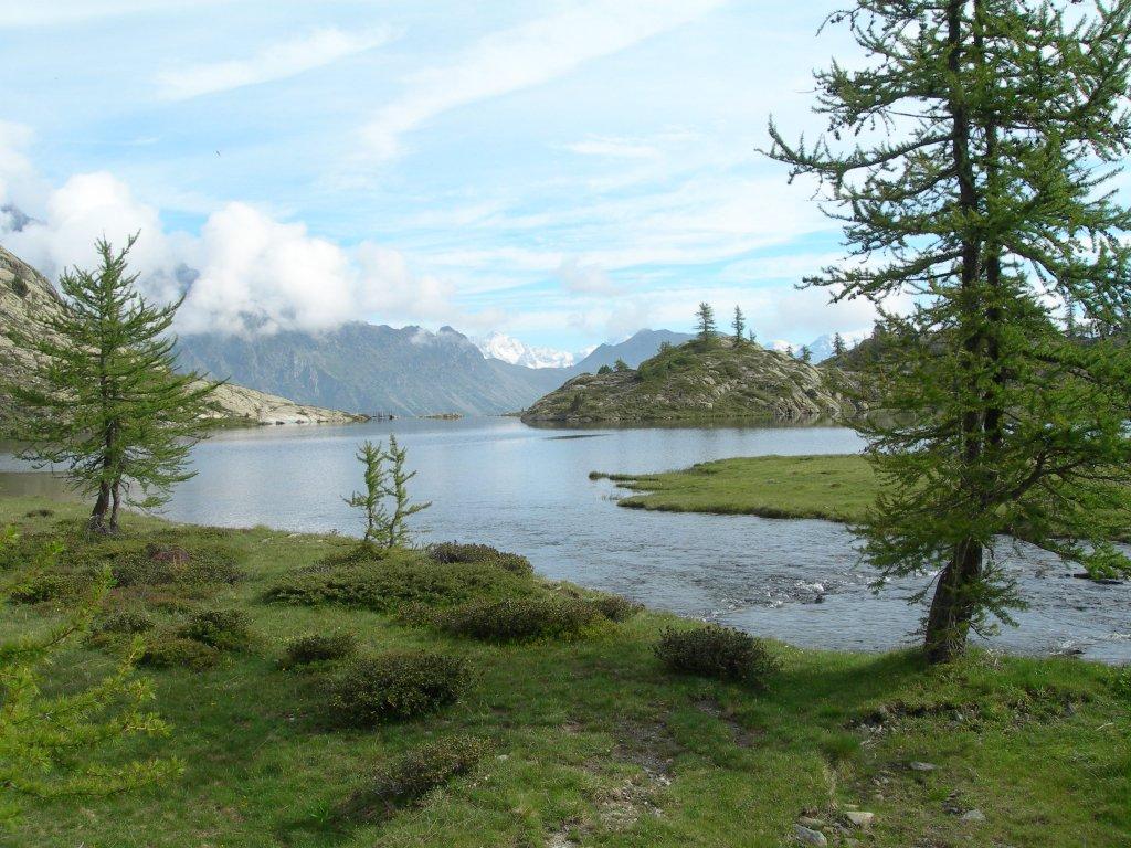
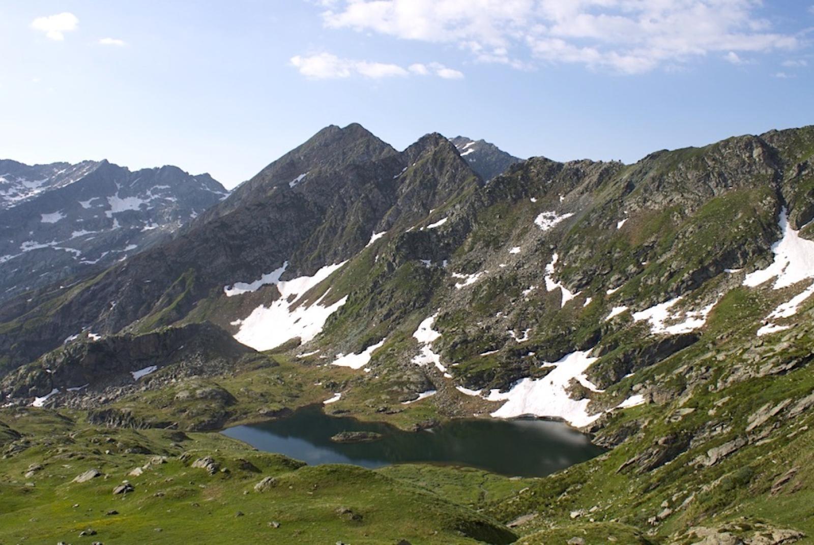
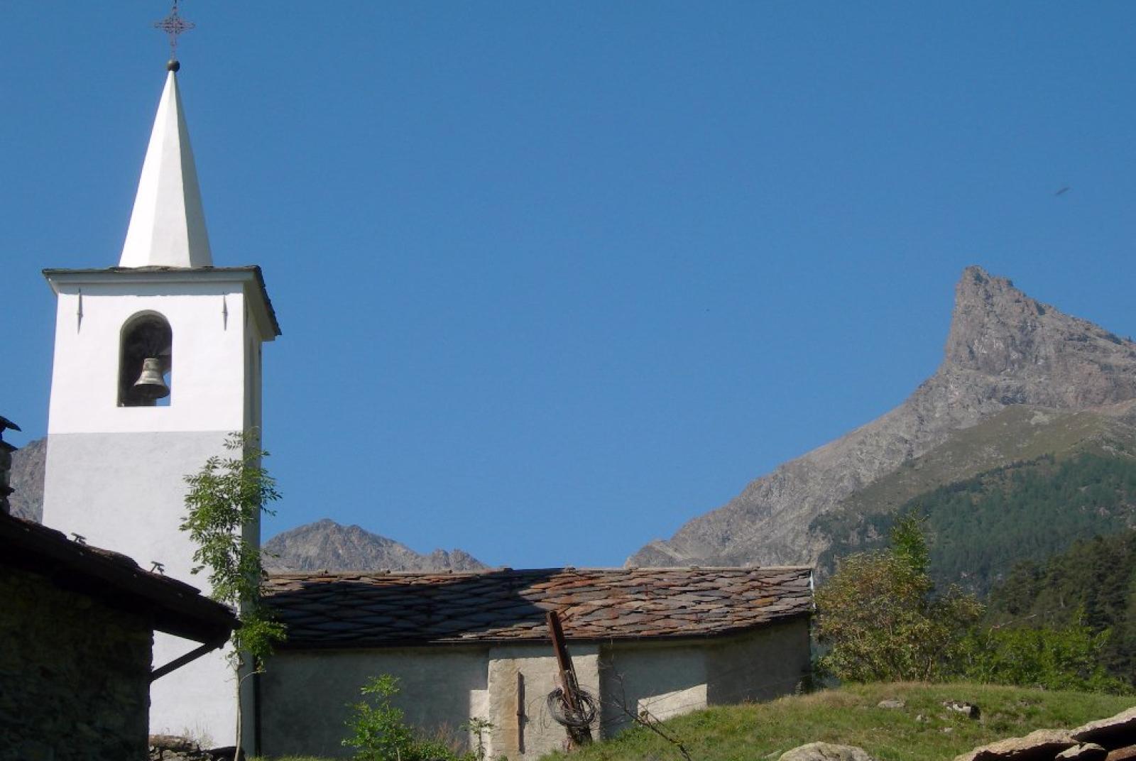
After leaving the car, find Trail n°10, which ascends through the forest. The trees become more sparse, revealing a grassy plateau where you'll encounter the Bar ristoro at Lago Muffé, where you can take a comfortable break. Continue up the trail to the Col du Lac Blanc (2309 m a.s.l.), where you can enjoy a stunning view of the Valle di Champorcher. From here, descend via Trail n°5, passing several wetland areas, until you reach Rifugio Barbustel (2200 m a.s.l.). After a well-deserved rest, you can visit the nearby lakes, extending the hike by about 30-40 minutes. From Rifugio Barbustel, take Trail n°5C/102 (round trip) to reach and admire the crystal-clear waters of various lakes including Lago Blanc, Lago Noir, Lago Cornu, and Lago di Vallette. The rifugio offers splendid views of Mont Avic and the Pennine Alps, including Monte Rosa, the Matterhorn, and Dent d'Herin. It can accommodate around forty people in dormitory-style rooms.
Second Section: Rifugio Barbustel – Lago Servaz – La Veulla (Trail n°5C)
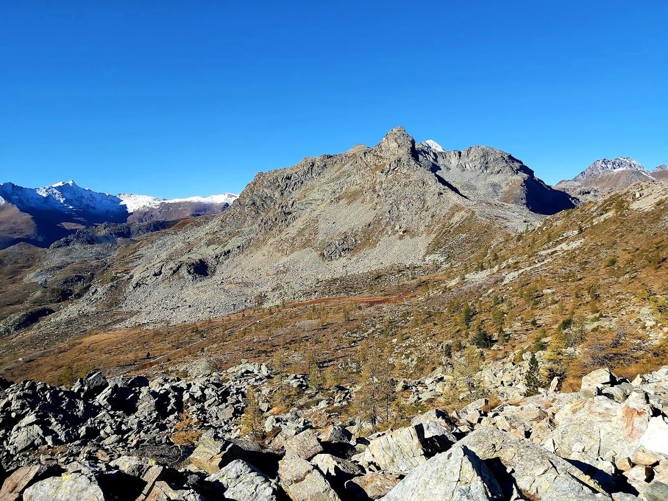
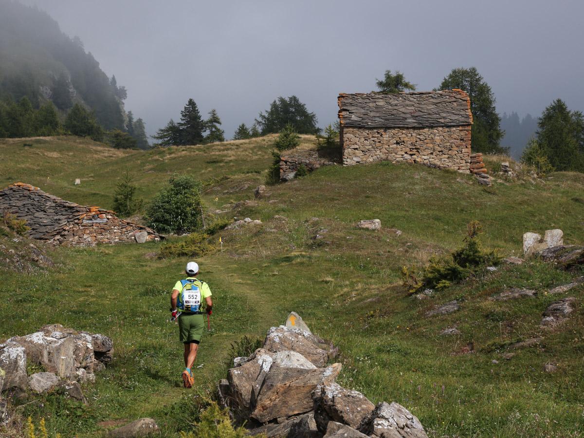
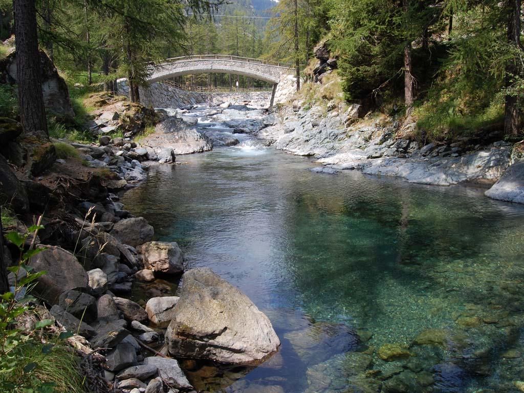
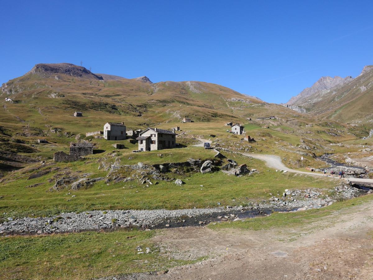
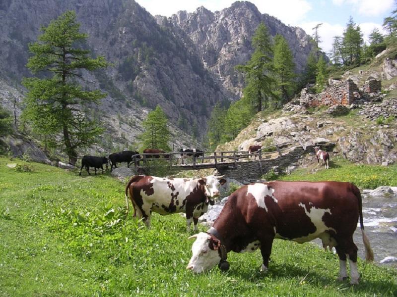
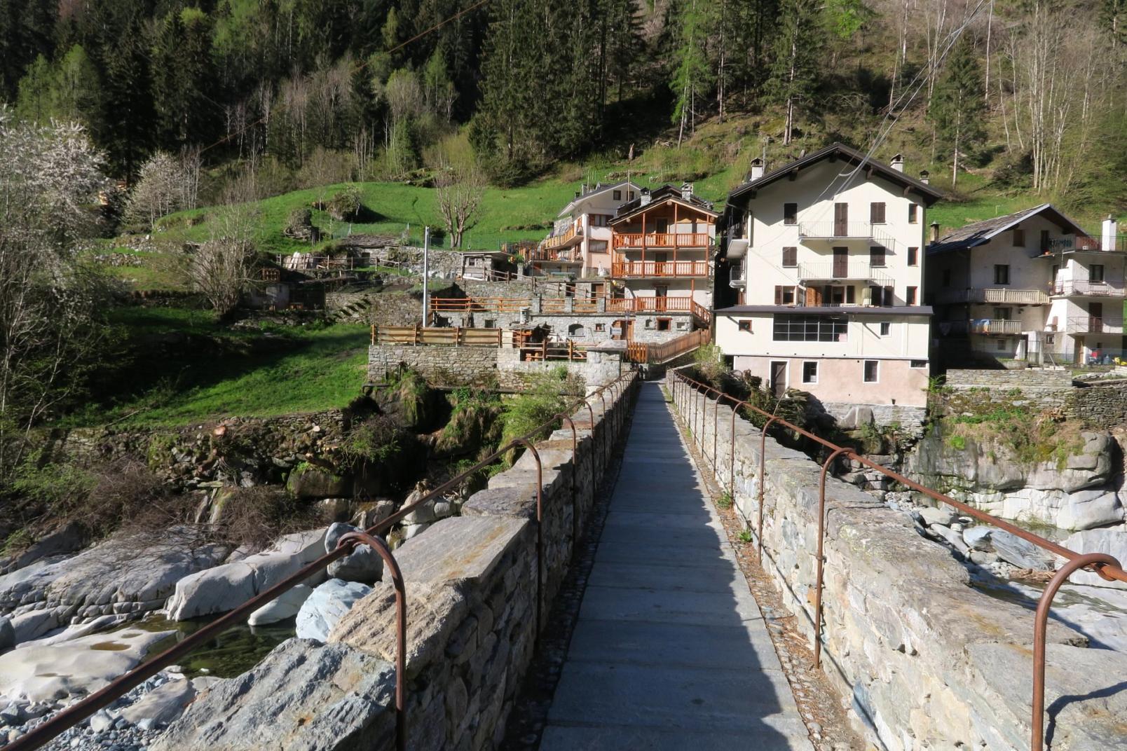
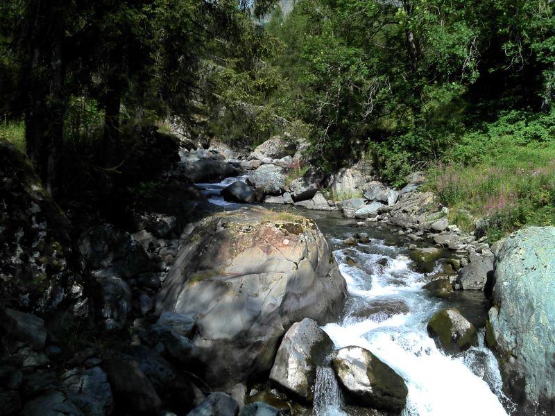
From Rifugio Barbustel, follow Trail n°5C, the main descent trail to La Veulla. The trail descends through rocky areas with sparse trees, reaching the alpe Cousse/Cousy (2080 m a.s.l.). It then crosses the Chalamy stream and descends through peat bogs and a steep forested slope to Lago di Servaz (1802 m a.s.l.). The trail continues through a pine forest to the Servaz alpine pastures (1540 m a.s.l.), where you’ll pick up a dirt road leading to La Veulla.