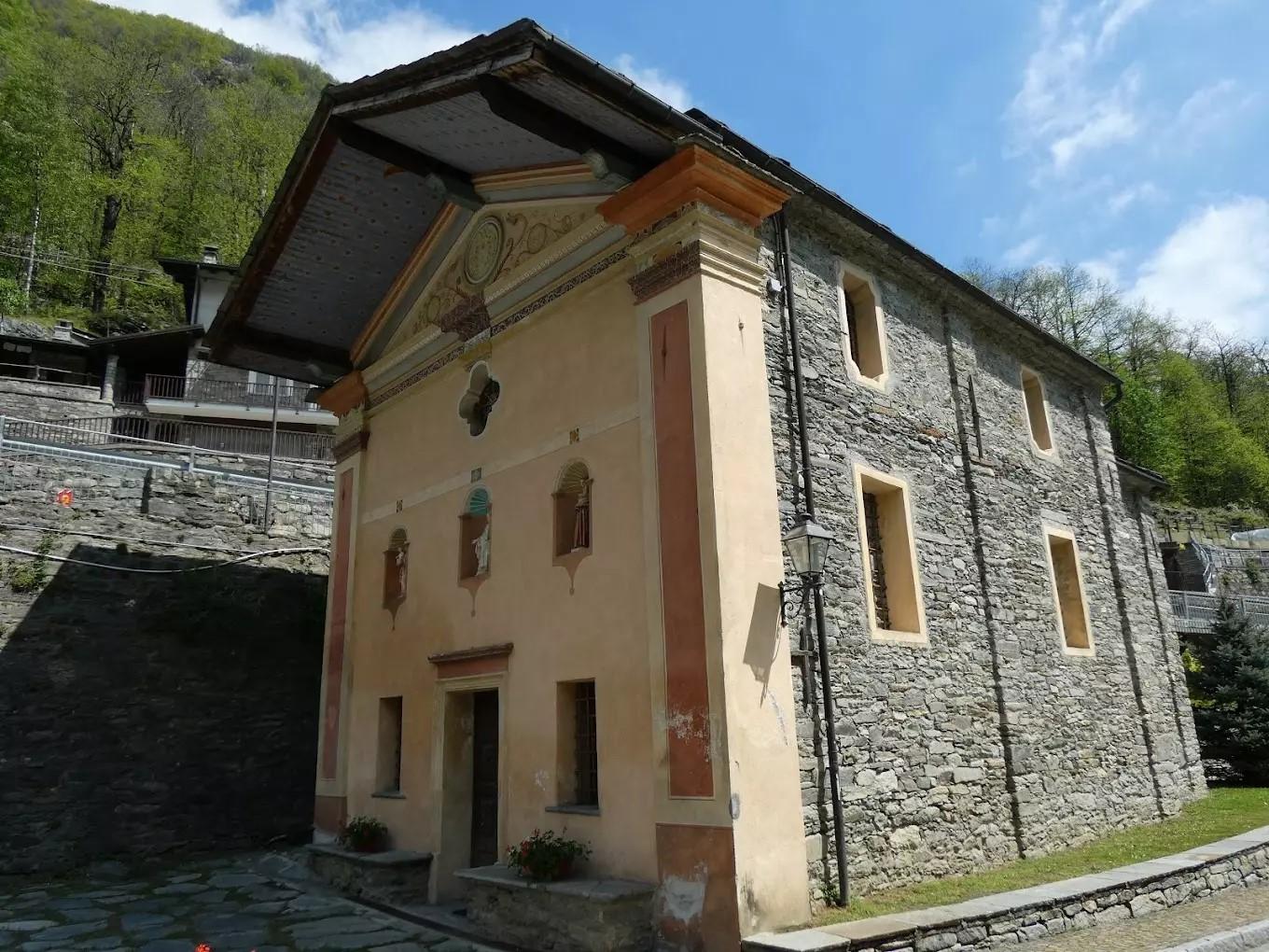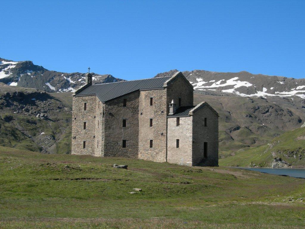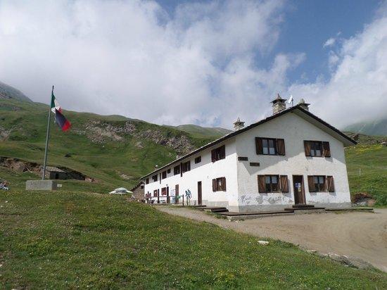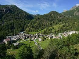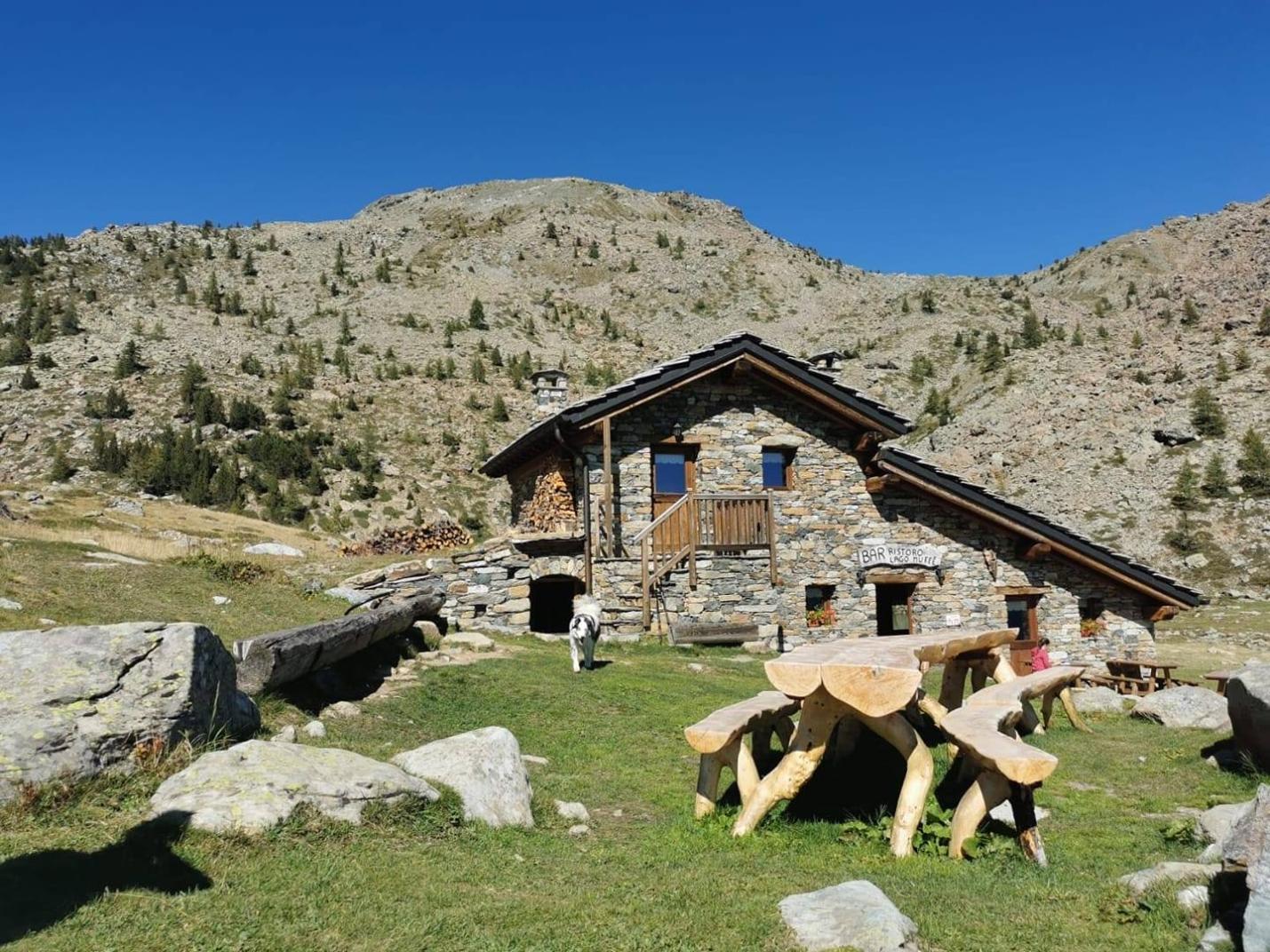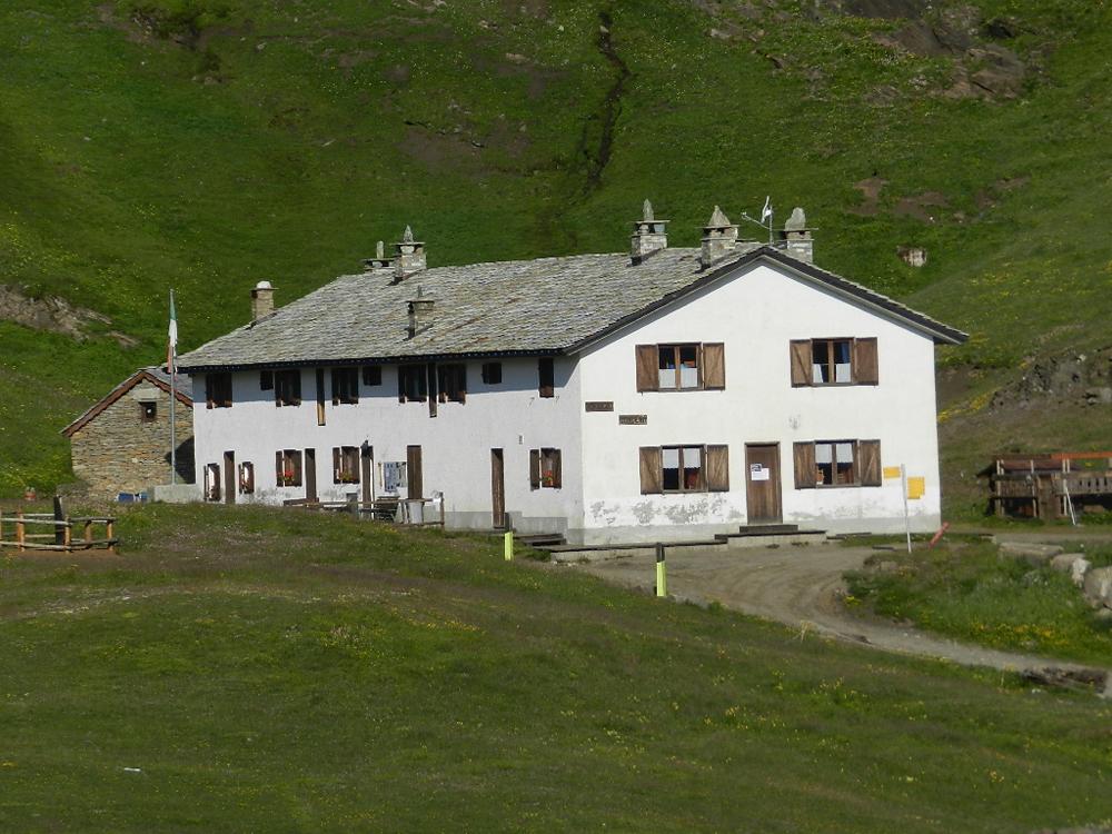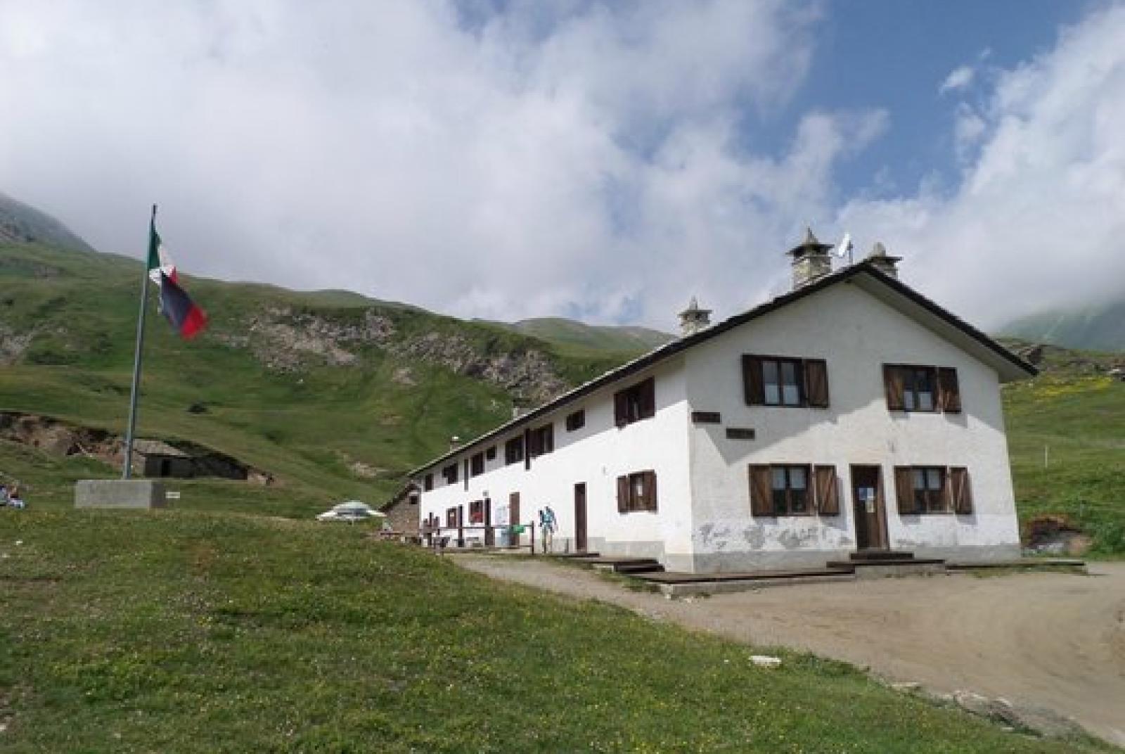
This loop allows you to step back into the history of the Champorcher Valley, offering an immersion in both its rural nature and its historical significance as a hunting residence of the King of Italy. The loop connects various unique places in the Champorcher area. Both proposed routes reach the Dondena Refuge, a former royal hunting lodge, where you can stop for a break and enjoy a great meal.
First Section: Chardonney – Ponte delle Maddalene (trail no. AV2 and 5D)
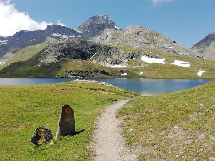
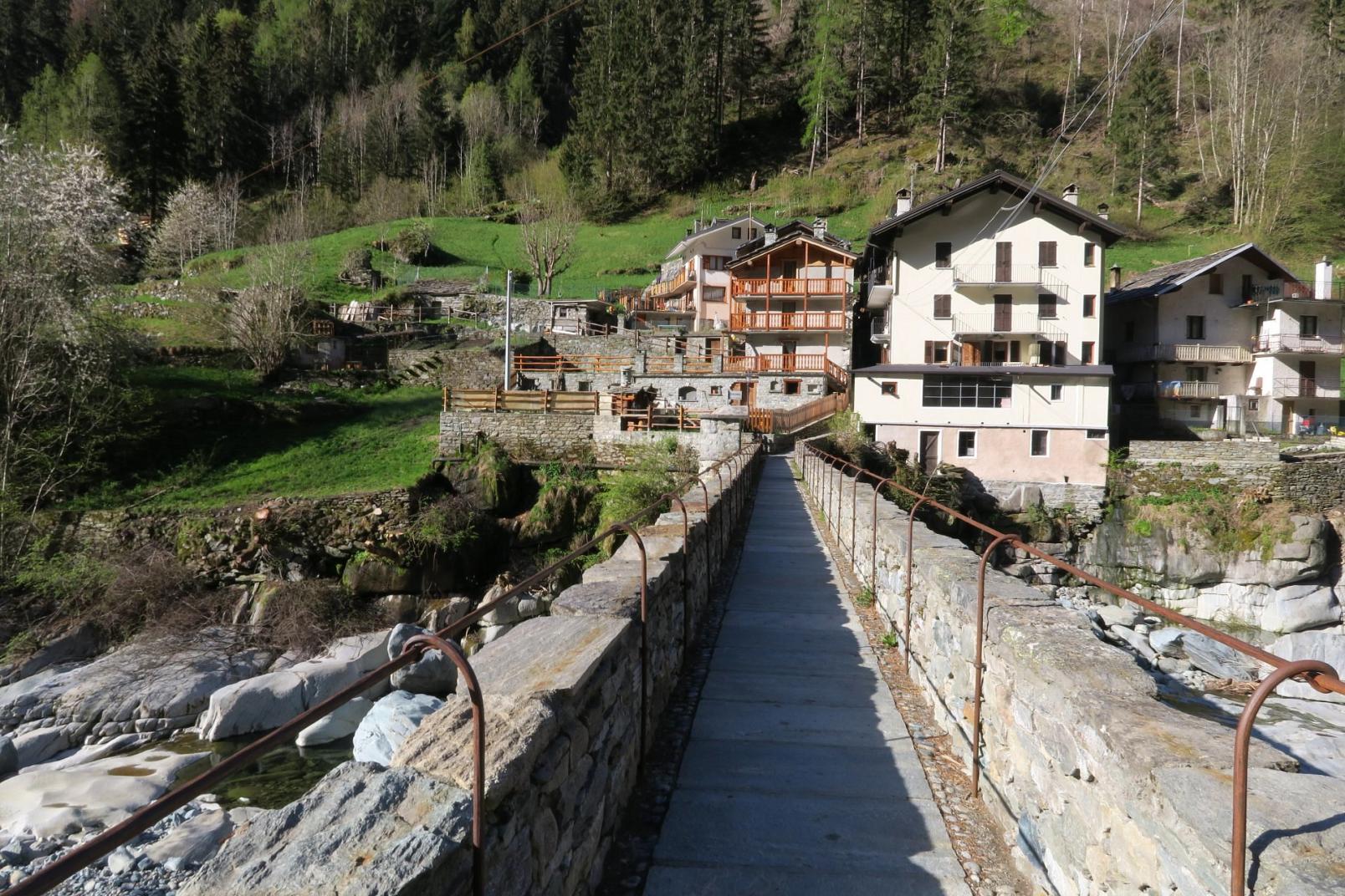
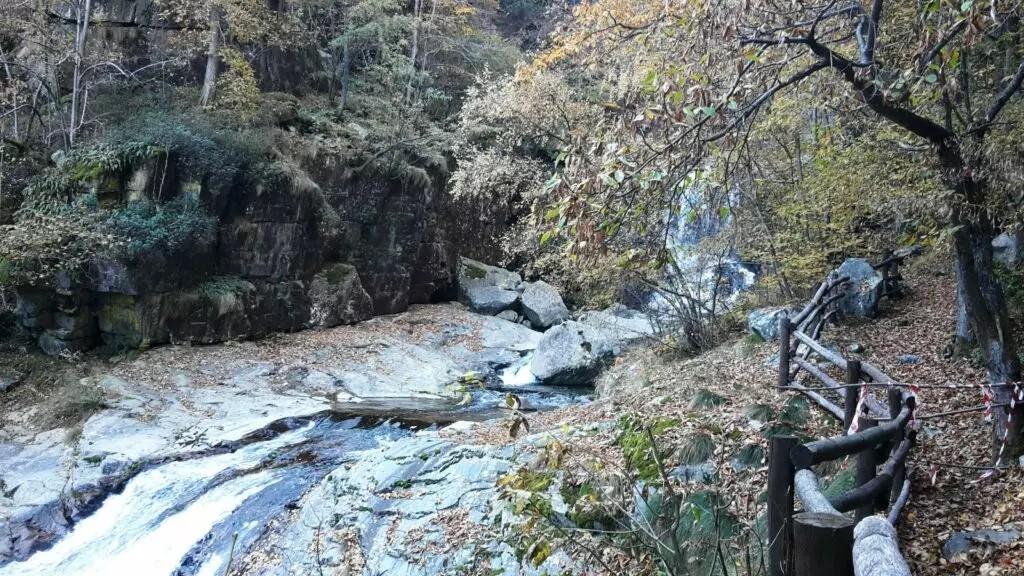
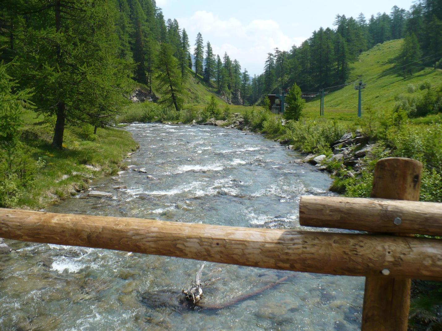
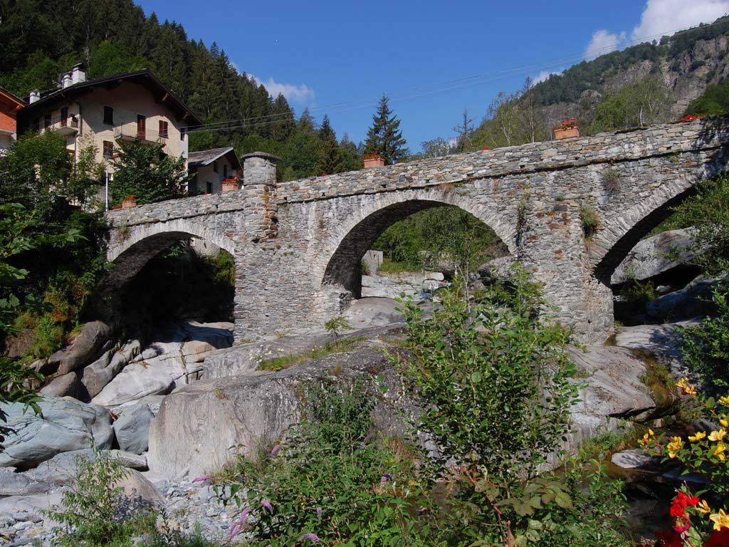
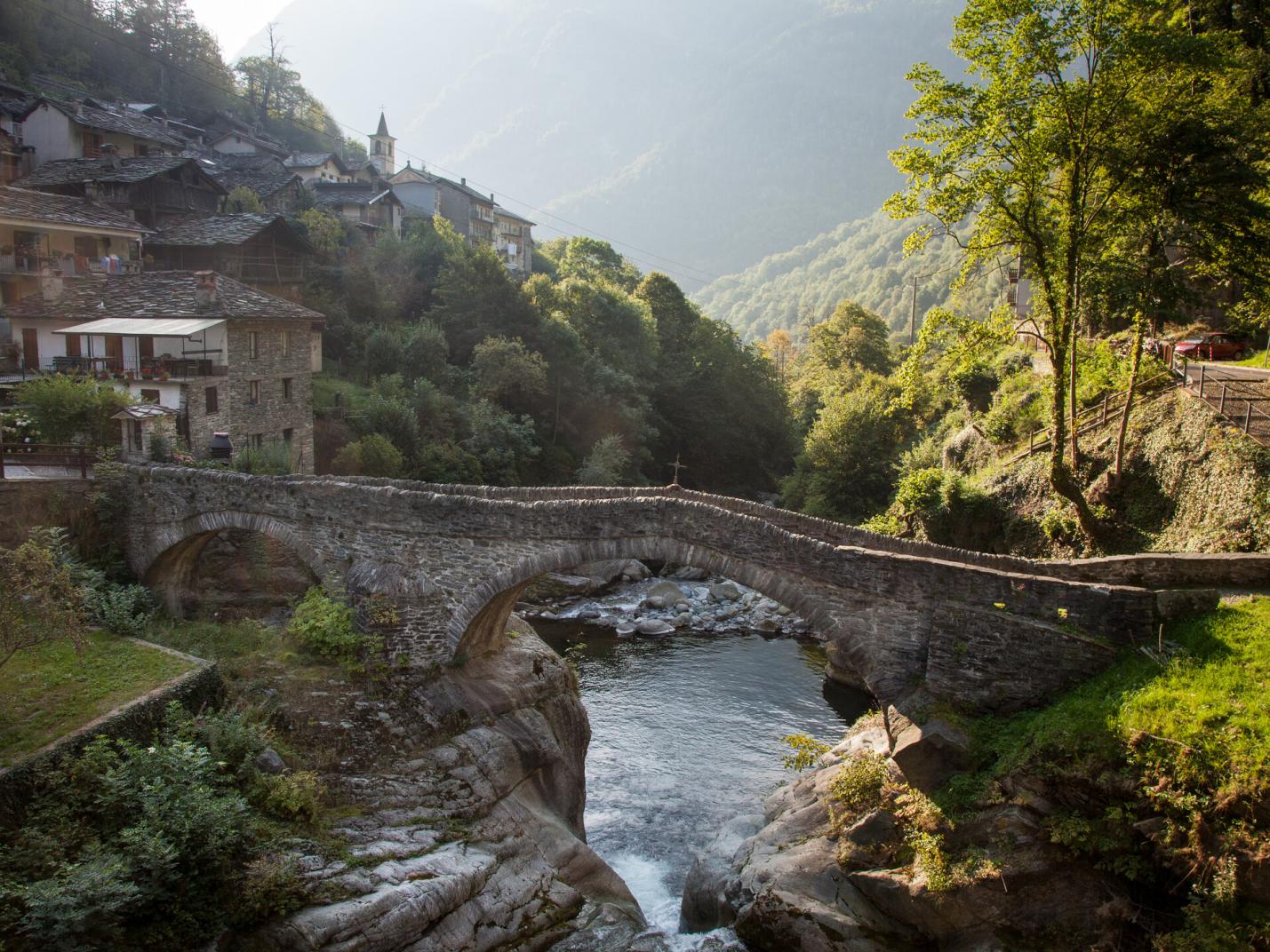
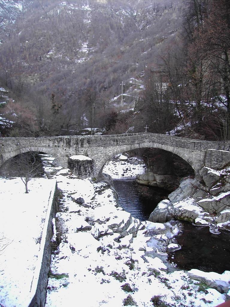
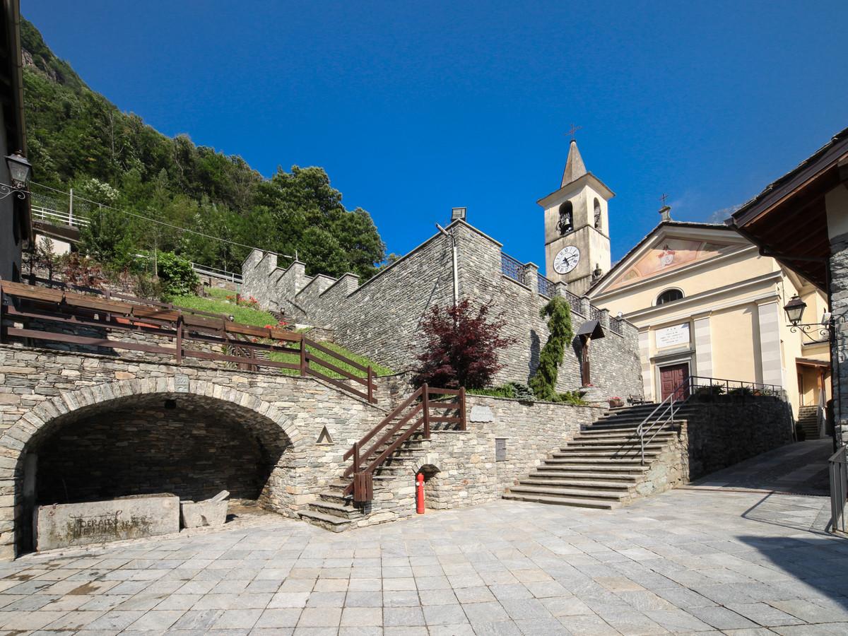
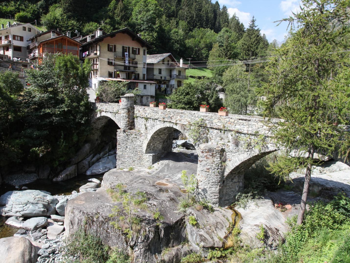
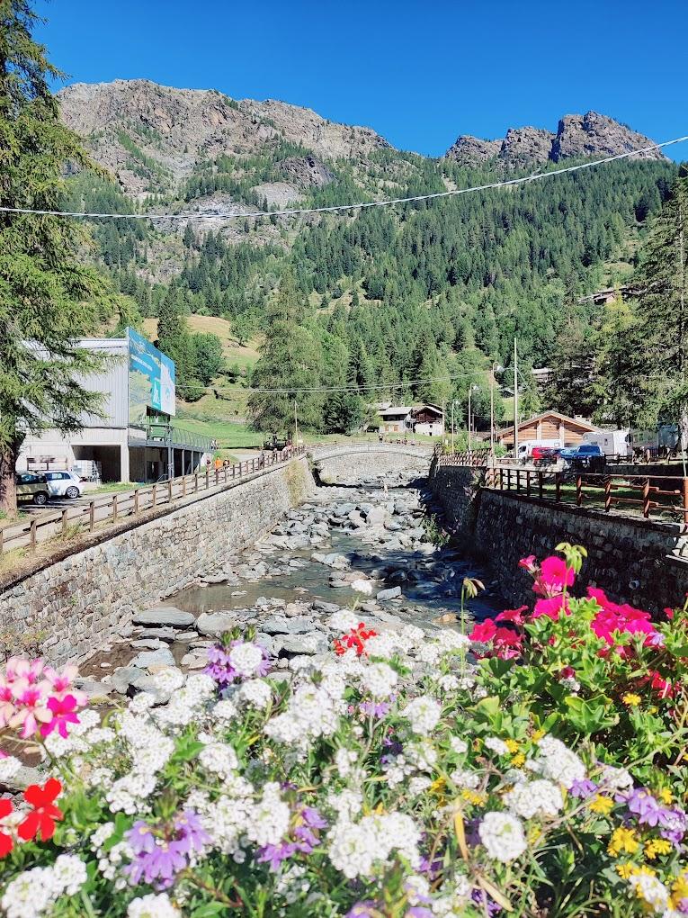
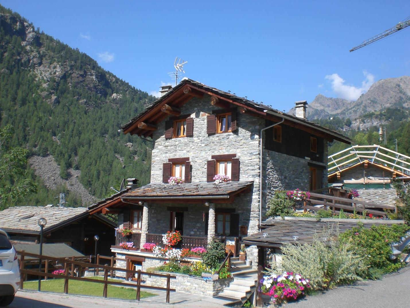
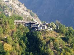
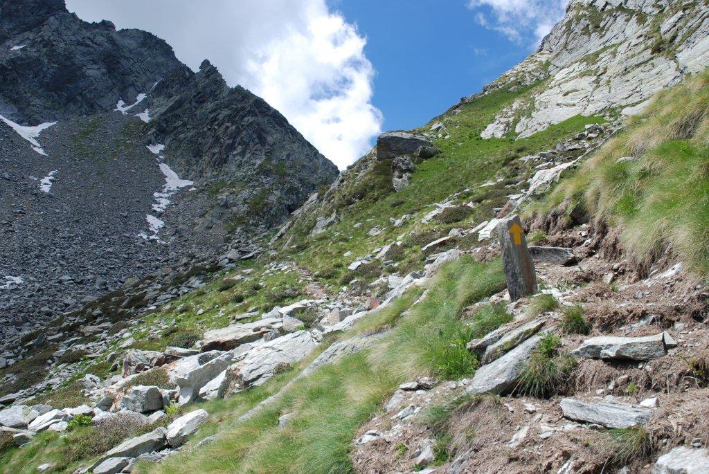
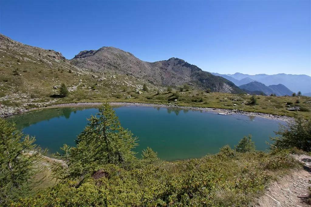
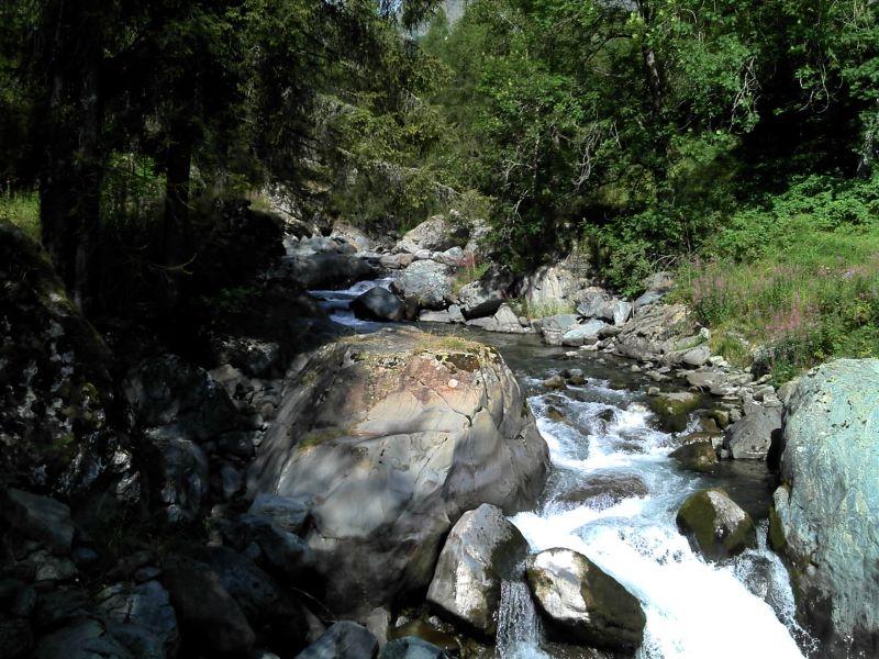
After leaving the car in Chardonney's large parking lot, walk along the paved road until it ends near the historic center. Cross the bridge, moving to the right bank of the Ayasse stream, and pass a group of houses. From here, after 170 meters, locate the start of the “scaletta” trail on the right (AV2). Follow the mule track as it ascends through pastures and then into the forest. Cross the Ayasse stream and continue ascending on the “scaletta” through the woods. Climb to the abandoned Vardette alpine pasture (1843 m a.s.l.), then continue to cross the Raté stream. The trail then traverses the wide pastures of the Créton alpine pasture until you meet the royal road (left of a hut). This road is very evident, built of stone with some dirt sections. Once on the royal road, descend along its gentle turns through pastures and sparse woods until you reach the Ponte delle Maddalene area. The bridge consists of two separate wooden bridges crossing a small island in the Ayasse stream, where a break is recommended.
Second Section: Ponte delle Maddalene – Dondena Refuge (trail no. 7D and 7)
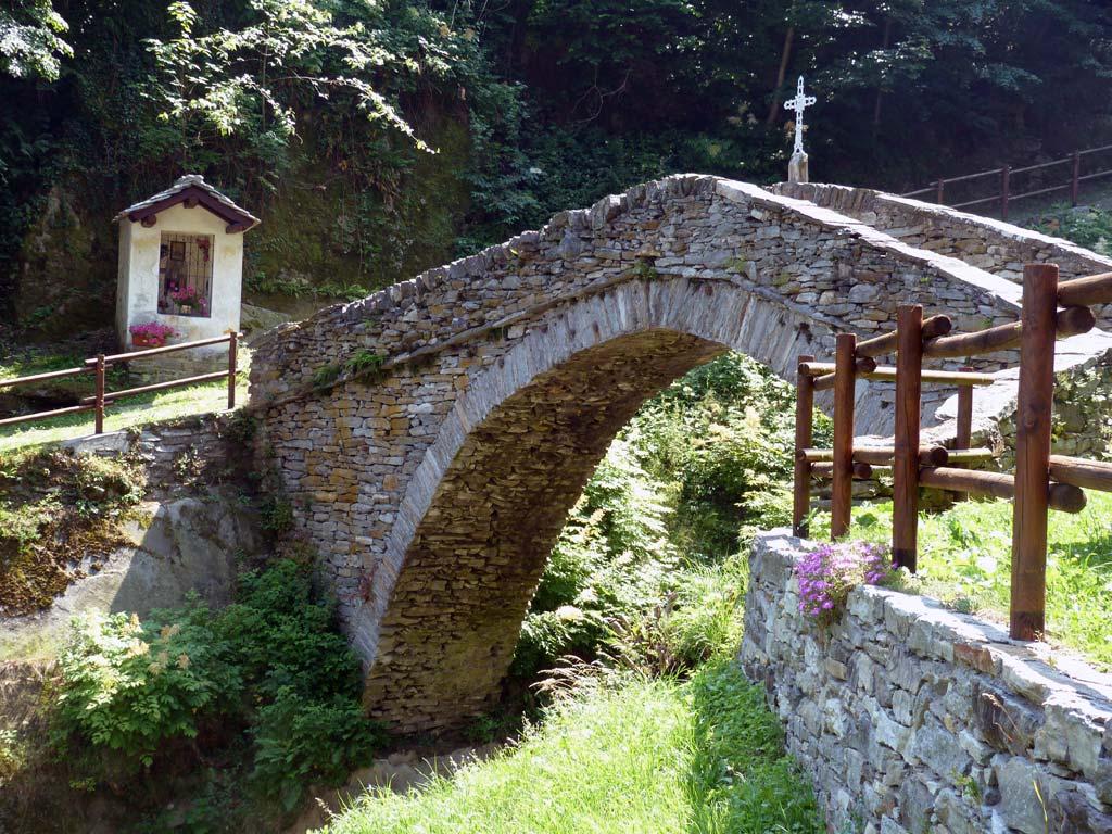
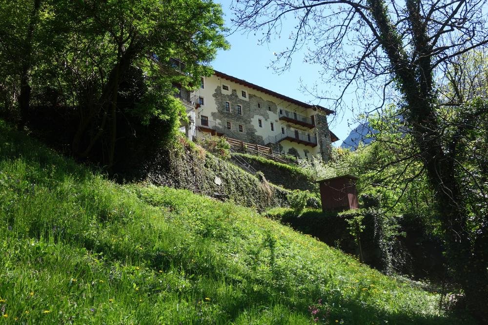
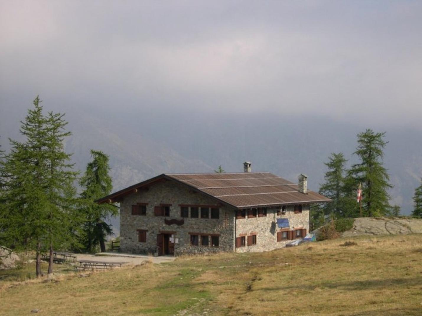
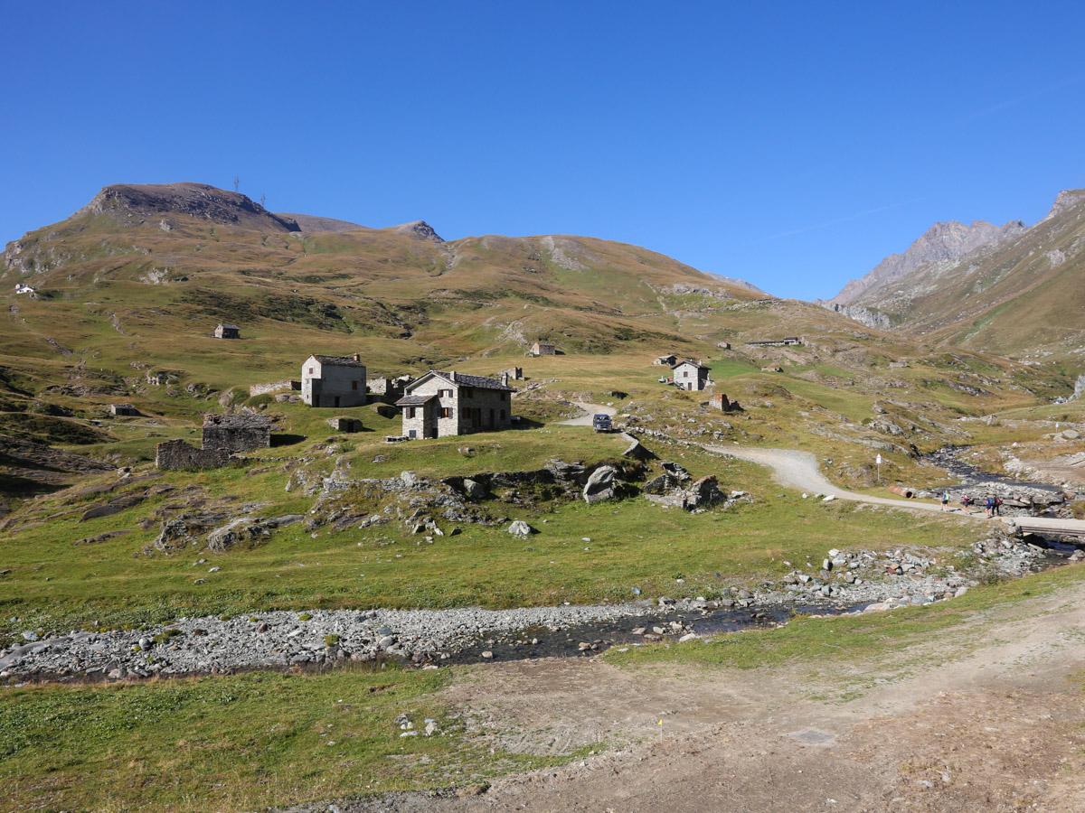
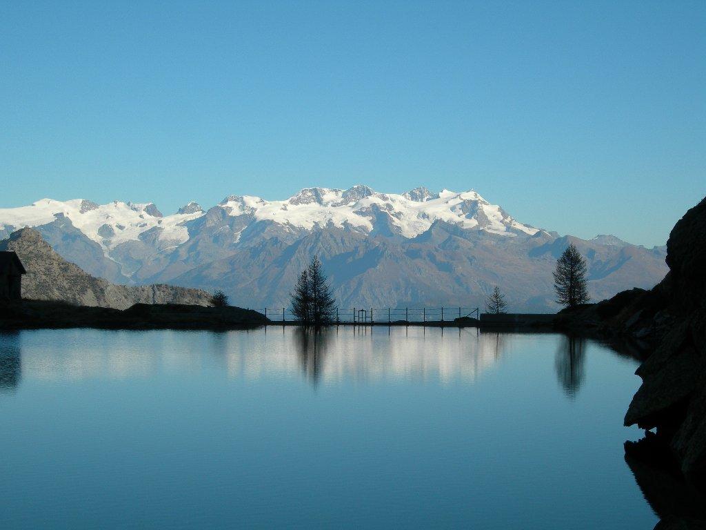
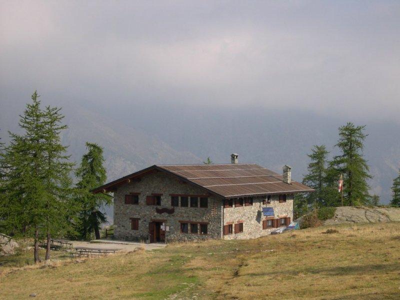
After crossing the Ponte delle Maddalene, find the start of trail no. 7D to the right of a votive shrine. Climb through a sparse forest and pass on the left side of the Panoïsaz alpine pastures. Avoid the ruins of the pastures; locate the trail that ascends left (about twenty meters before the ruins) in a small valley with sparse woods. Follow this trail to about 2050 m a.s.l. Here, avoid the trail climbing left and continue on the trail that traverses the forest (Bois de Roise) to the right, arriving at a pasture with ruins. Descend slightly in the clearing to the right and find the trail crossing the Roèse di Bantze stream via a bridge. Continue on this trail to find the dirt road leading up to the Dondena Refuge (2185 m a.s.l.), passing by the former royal hunting lodges of King Vittorio Emanuele II of Savoy. Stop for a great lunch at the refuge.
Third Section: Dondena Refuge – Laris-damon – Chardonney (trail no. 5C and 5D)
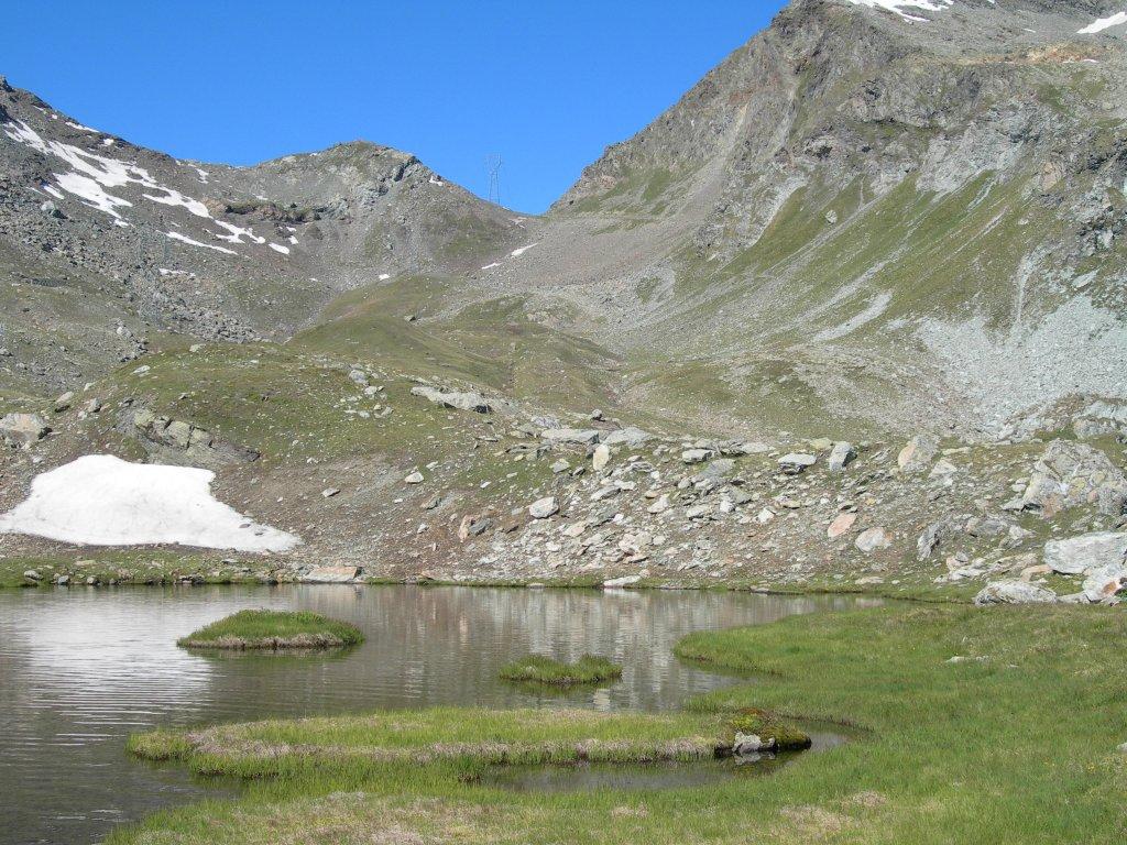
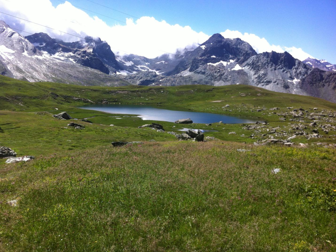
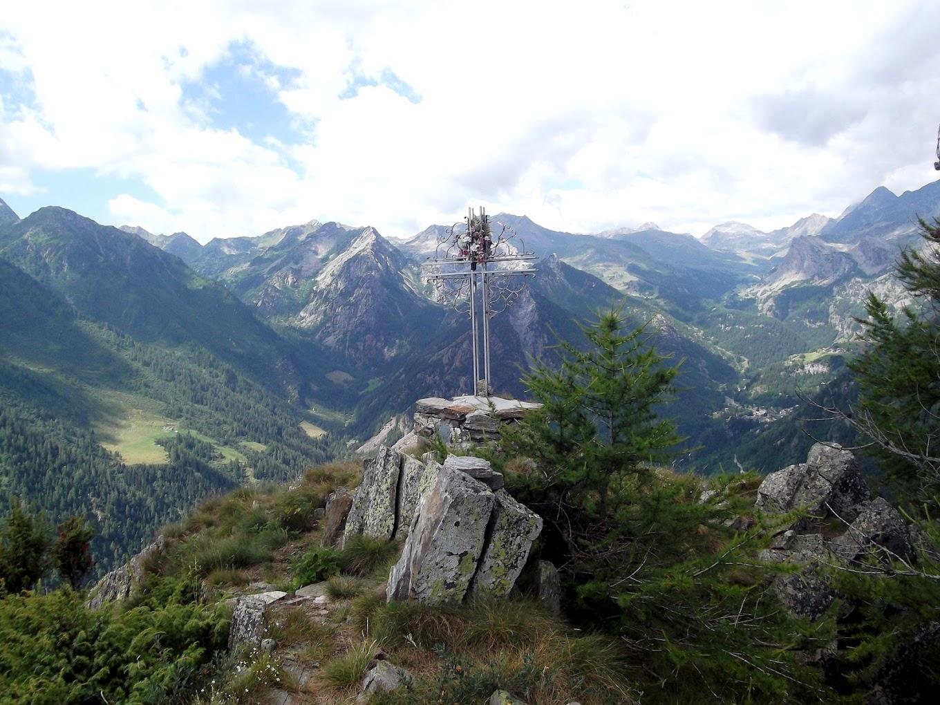
After a well-deserved rest, follow the dirt road towards Cimetta Rossa/Cime Rousse. After crossing the Roèse di Bantze stream, find the start of trail no. 5C to the left at about 2232 m a.s.l. Follow this panoramic trail to Laris-damon (cable car terminus). This section is very scenic, passing first under an alpine pasture and then, after a steep descent, crossing a vast alpine meadow. The final part, through the woods, leads to the ski slopes (now covered with grass). From here, find trail no. 5D descending to Laris-damon. From Laris-damon, descend using the cable car to Chardonney.
Technical Notes: The descent can also be partially done using the ski lifts from Laris-damon to Chardonney. This option, while reducing return times, significantly lessens the interest of the itinerary. The ski lifts are only open during certain summer periods (link to Monterosa Ski website with days and times).