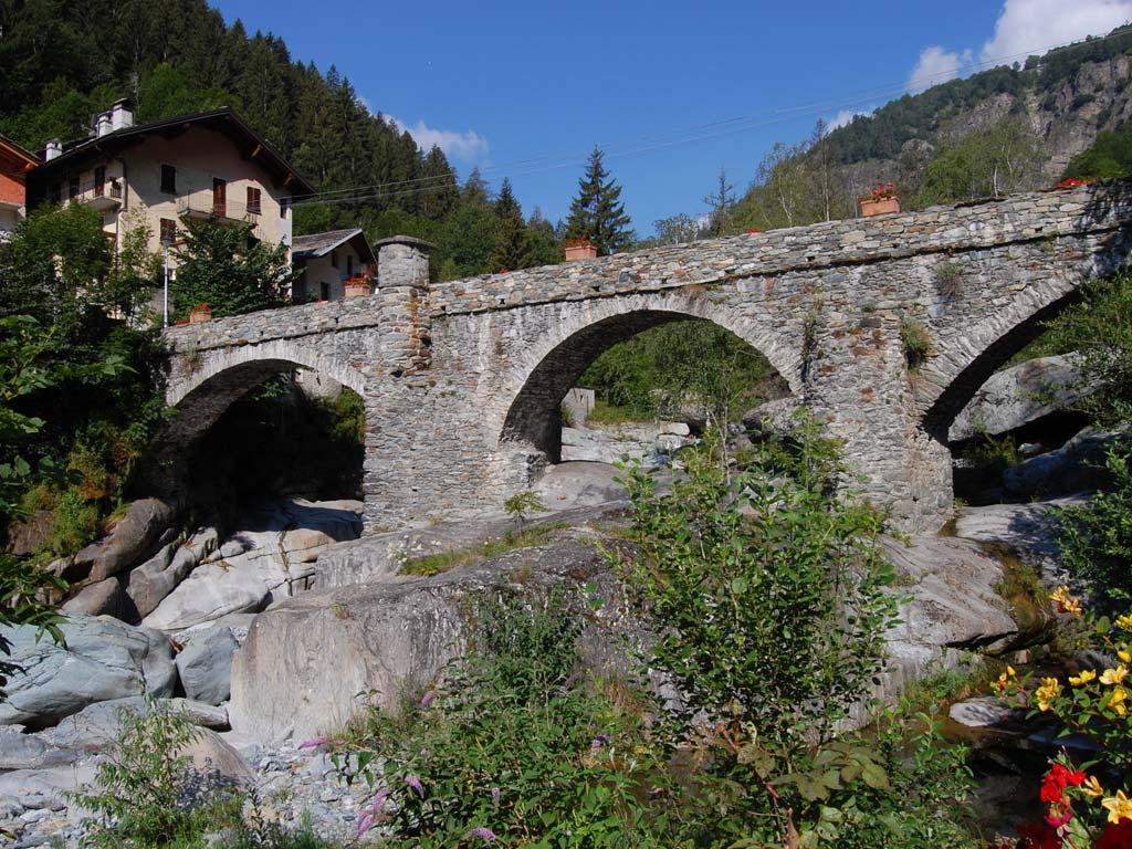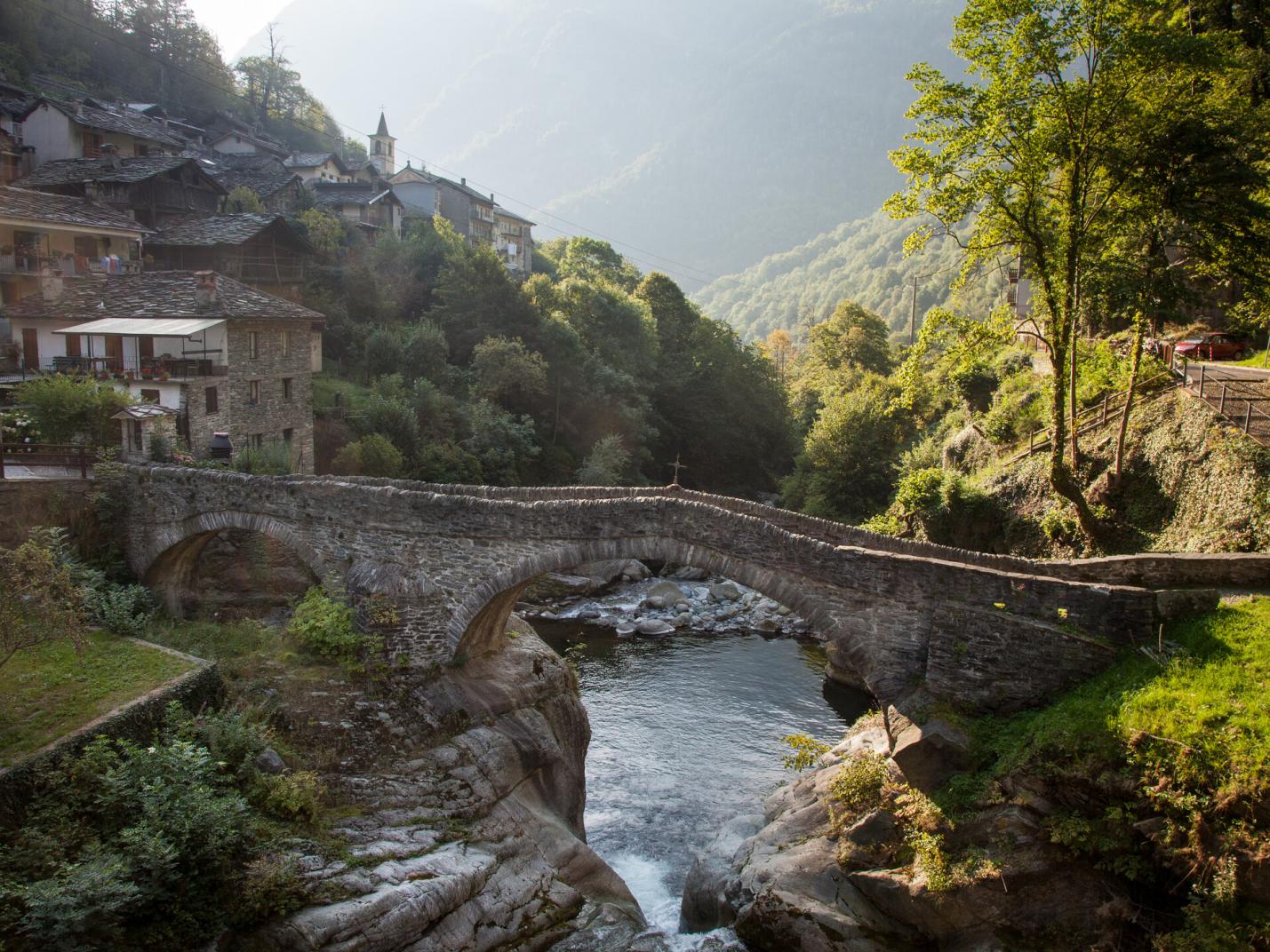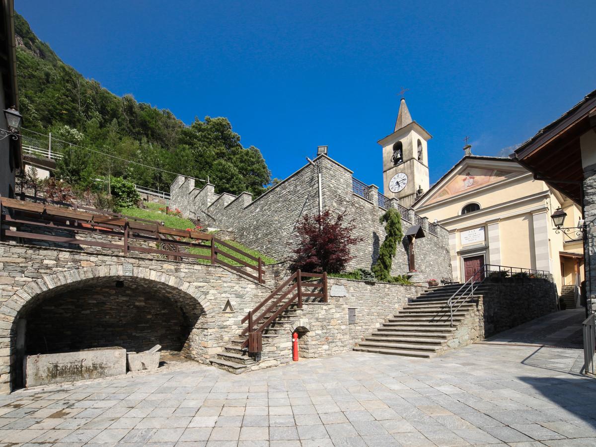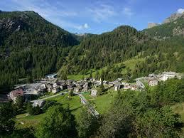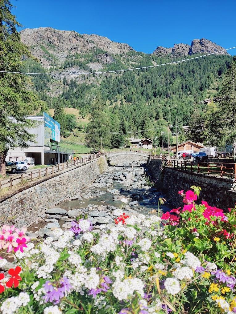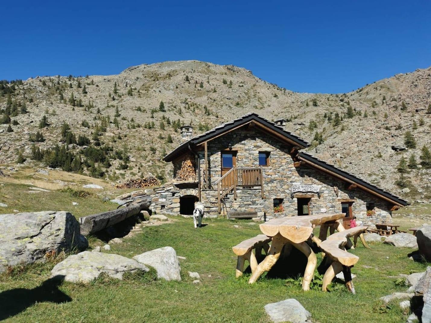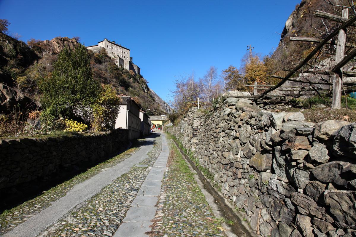
This loop hike will take you back in time through the history of the Champorcher Valley, immersing you in the rural nature of the area and its royal past as a hunting residence for King Victor Emmanuel II of Italy. This loop combines two unique locations in the Champorcher area. The ascent follows the "scaletta" trail, an old stepped path used by the inhabitants of Champorcher to reach the cultivated lands and alpine pastures in the upper valley. You will be immersed in an enchanting environment of woods and the waters of the Ayasse stream. The "scaletta" reaches the Créton pastures (1902 m a.s.l.), where it meets the royal road, built by King Victor Emmanuel II of Savoy to reach the royal hunting lodges at Dondena. Here, the royal road descends to the Maddalene Bridge area, where a break by the crystal-clear waters of the Ayasse stream on a small natural island is recommended. The descent continues along the royal road to Chardonnay, passing through alpine pastures and woods. This hike allows you to fully immerse yourself in the history of Champorcher, blending the royal spirit with the rural essence of the area.
First section: Chardonney – Ponte delle Maddalene (trail no. AV2 and 5D)
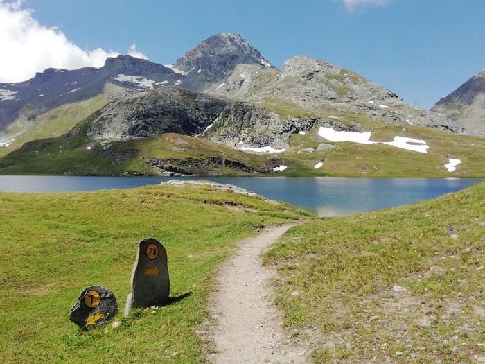
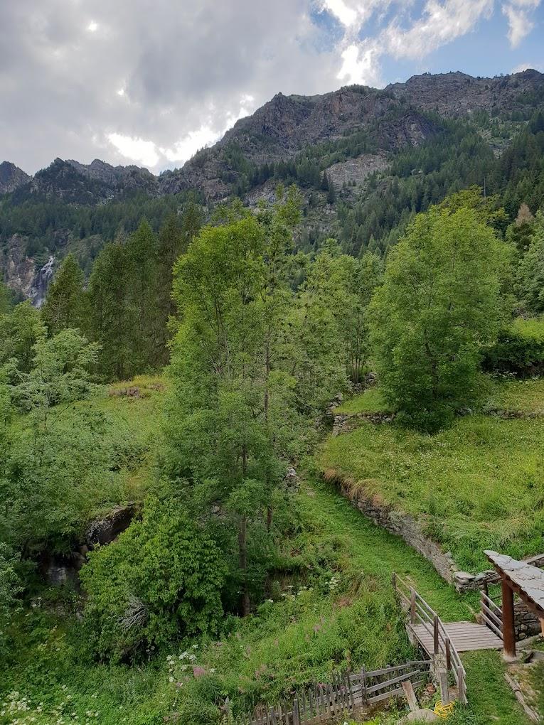
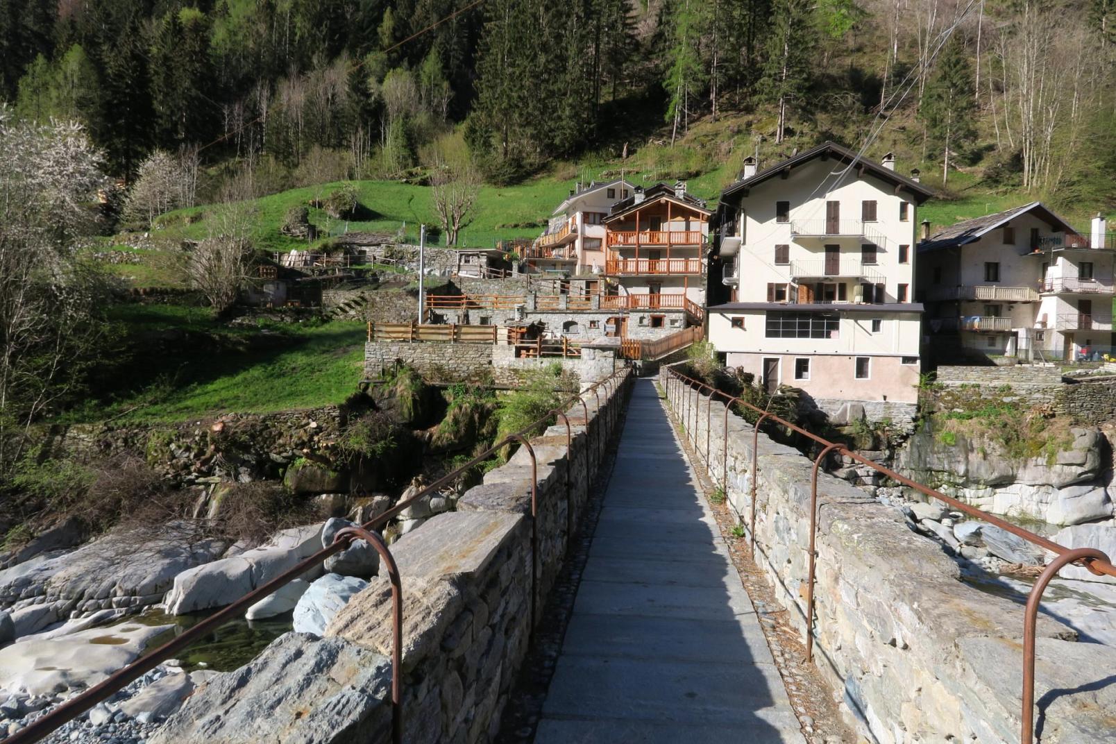
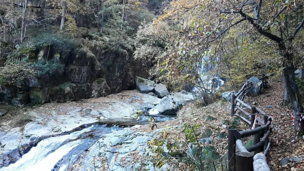
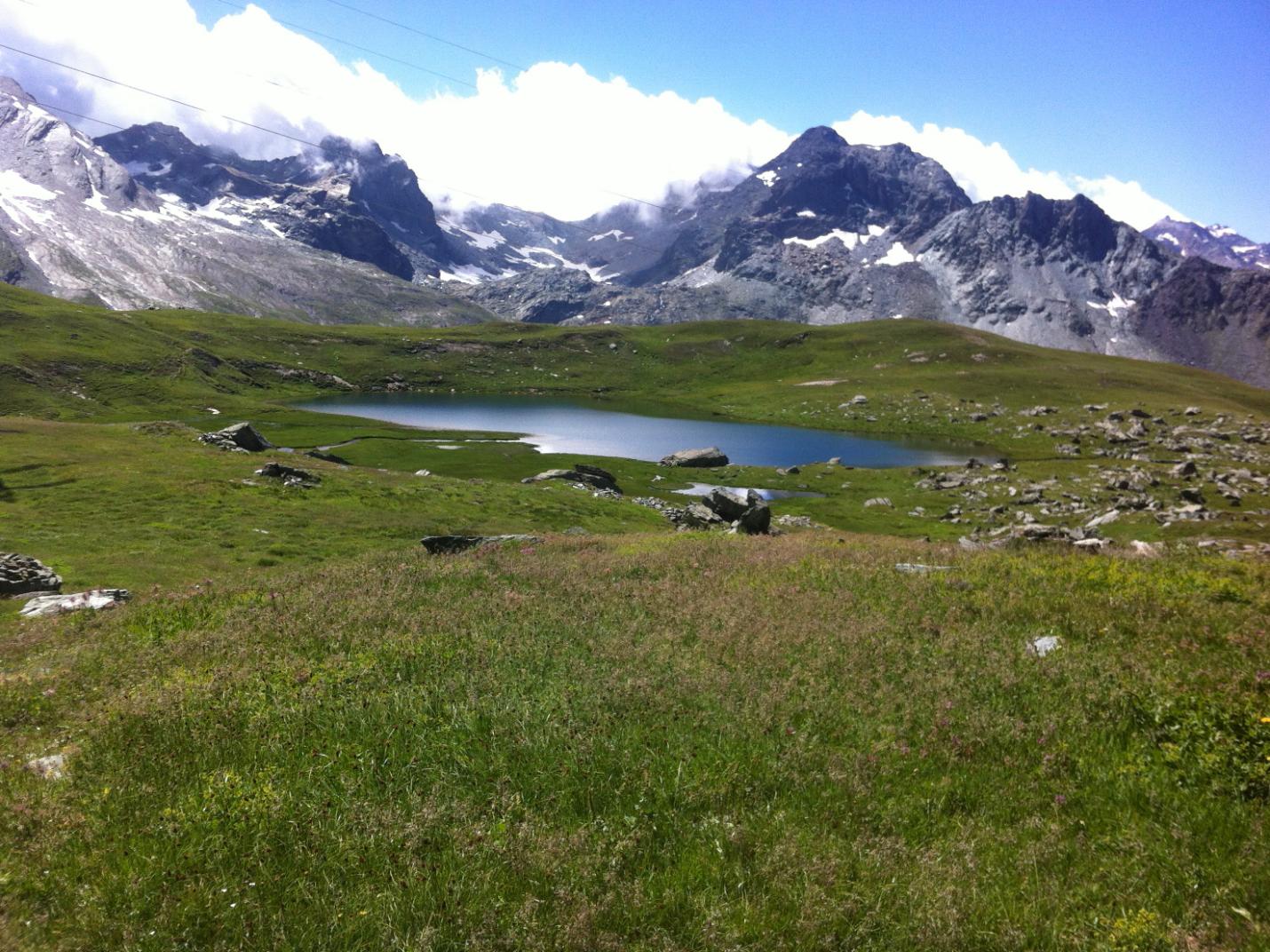
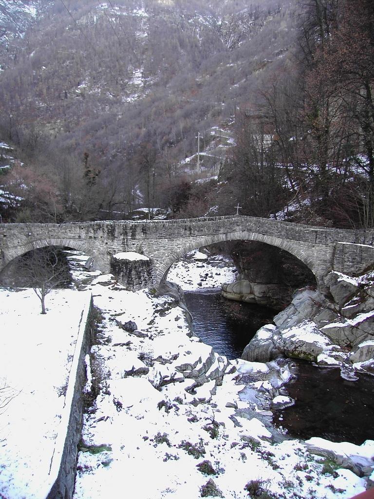
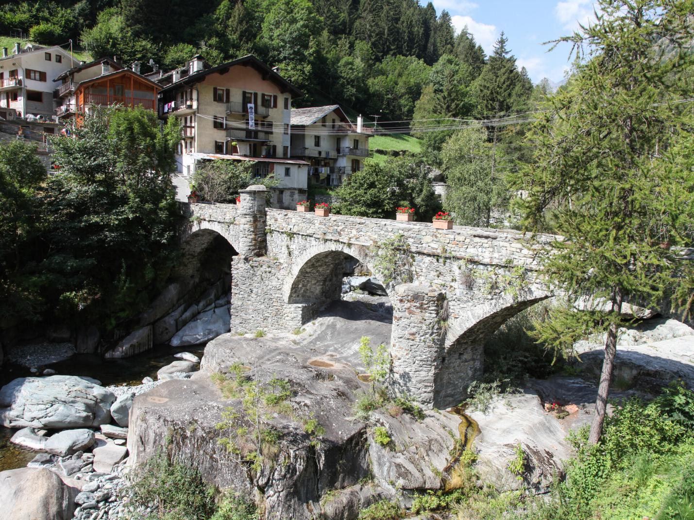
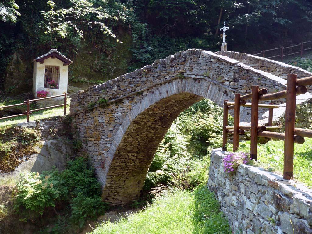
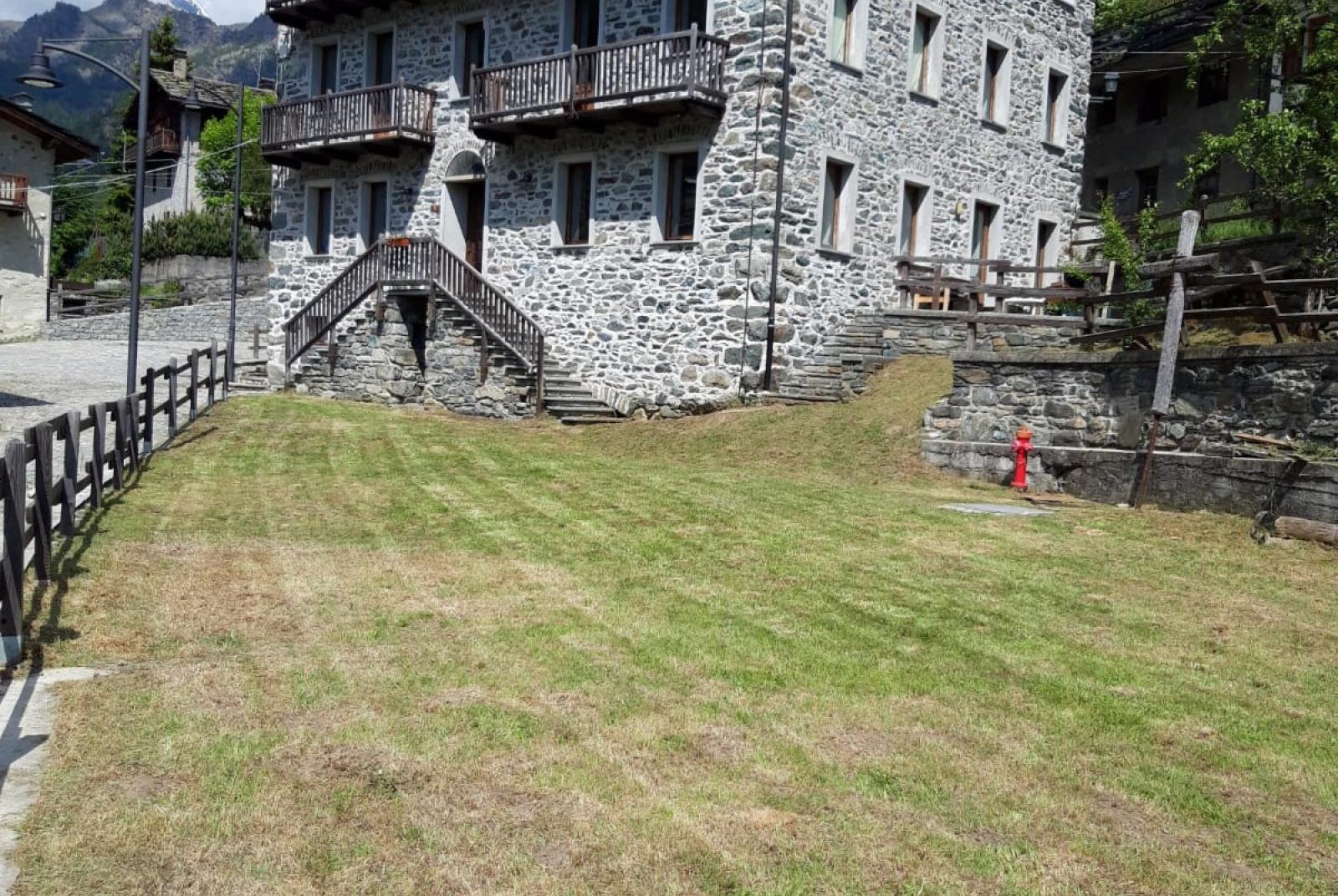
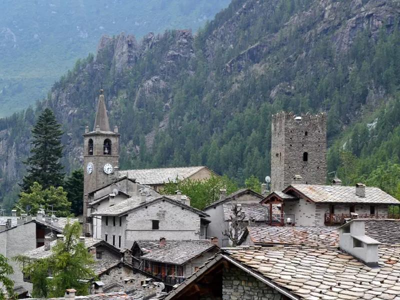
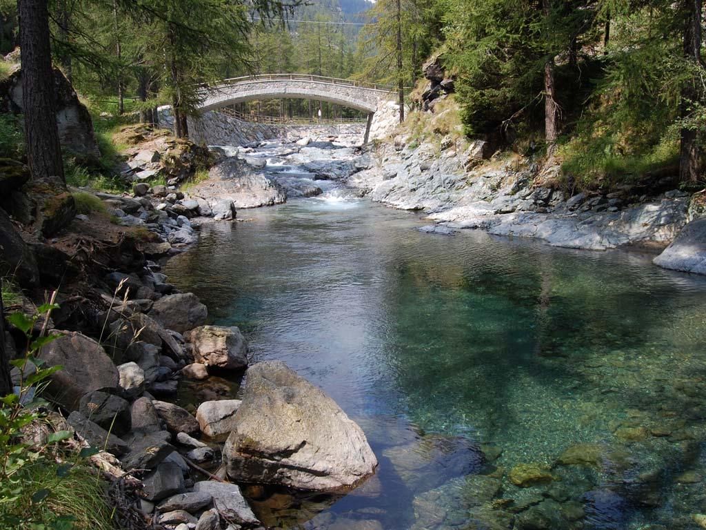
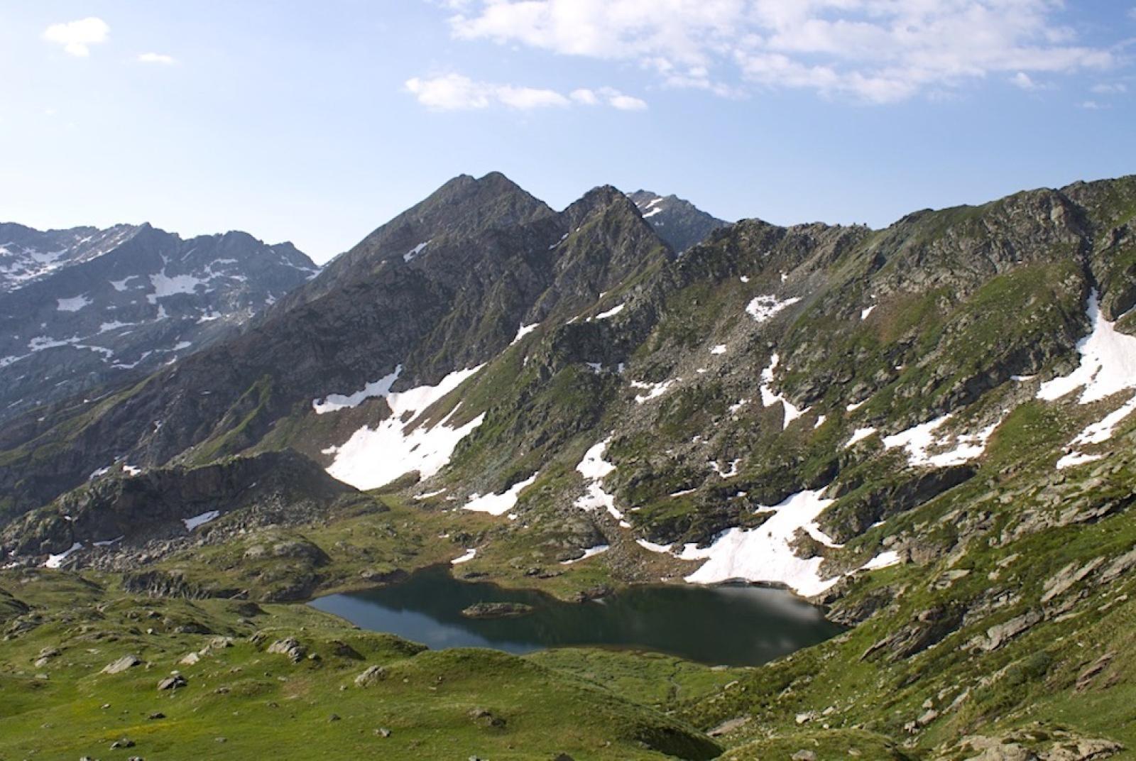
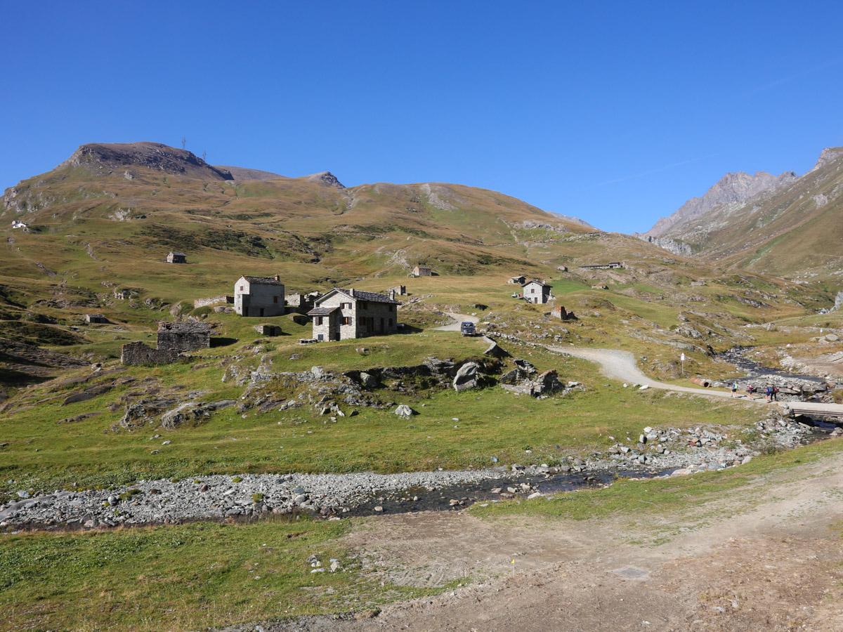
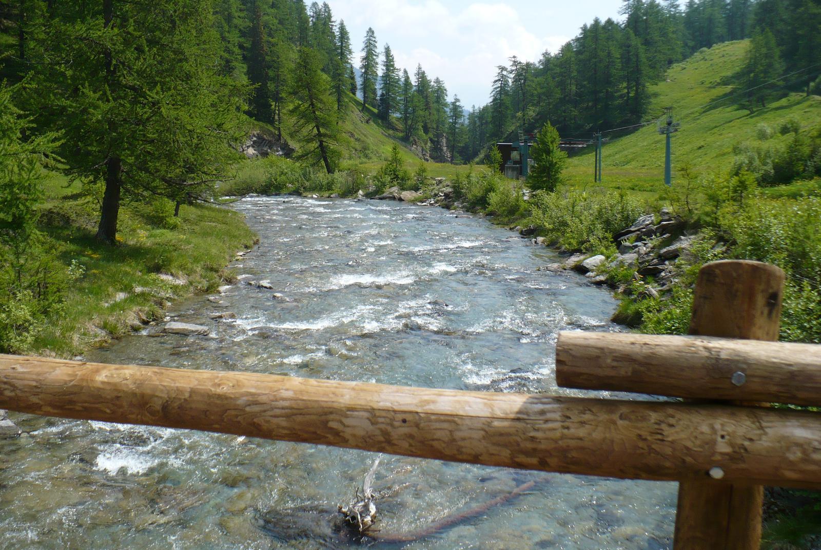
After parking your car in the large square in Chardonney, walk along the paved road until it ends near the historic center. Then cross the bridge, moving to the right bank of the Ayasse stream, and pass a group of houses. From here, after 170 meters, locate the start of the "scaletta" trail on the right (AV2). Then follow the path that ascends through the pastures and enters the forest. Cross the Ayasse stream and continue climbing the "scaletta" through the woods. Ascend under the cover of the forest until you reach the abandoned Vardette pasture (1843 m a.s.l.). Continue until you cross the Raté stream. The trail then passes through the wide alpine pastures of the Créton pasture until it meets the royal road (to the left of a cabin). The royal road is very noticeable as it is a stone-built path (with some stretches of a dirt road). Once you find the royal road, descend along its gentle switchbacks through the pastures and sparse forest until you reach the Maddalene Bridge area. The bridge is actually made up of two separate wooden bridges that cross a small island in the waters of the Ayasse stream, where a pause is recommended.
Second section: Ponte delle Maddalene – Chardonney (trail no. 5D)
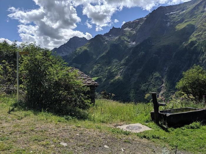
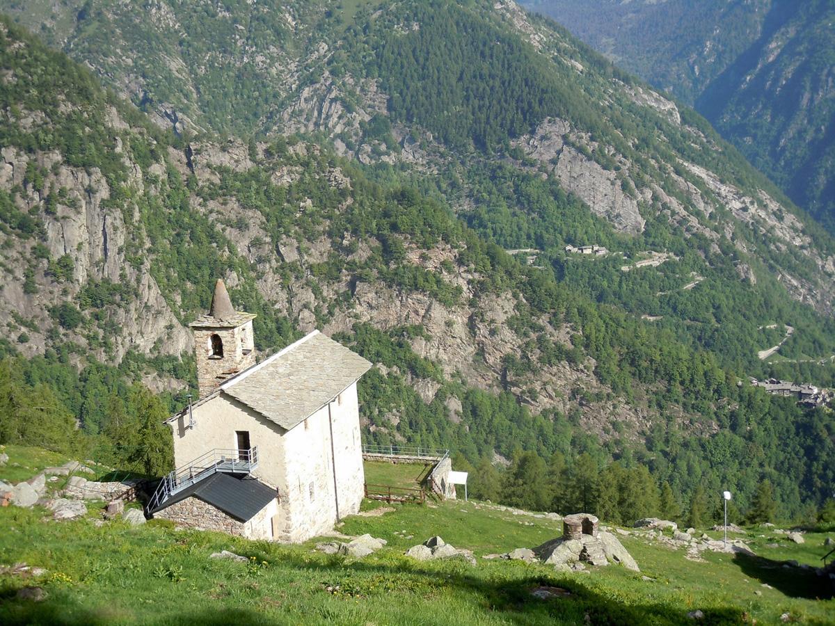
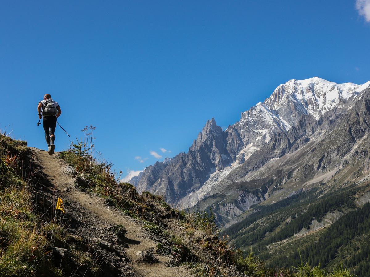
After crossing the Maddalene Bridge, the royal road ascends sinuously along the hillside through alpine pastures and sparse larch forests until you reach a votive chapel where a wider dirt road (leading to Laris-damon) intersects. Then, descend to the left, following the royal road as it winds through woods, old fields, alpine pastures, and the Praz-Rion and Clos-du-Creux pastures. In its final stretch, the royal road passes under the ski lift cables and leads you back to the village of Chardonney.
Technical notes: Suitable for families. Easy loop hike. The ascent or descent can also be done using the ski lifts that go up to Laris-damon. This option, which can be used for either ascent, descent, or both, allows for easier access to the Maddalene Bridge but significantly reduces the interest of the itinerary. The ski lifts are only open during certain summer periods.