Ayas and Gressoney lifts and slopes open - Alagna side closed.
Check the lifts and slopes open until 21st April


Click here to check the operating hours of the Champoluc-Crest cable car

Ski mountaineering tracks: check here the status of the openings (tracks in green)

Valle di Champorcher

Champorcher

Cima Piana

By: Visit Champorcher

Route category: Trekking

Duration: 5 hours

Length: 8100 m

Difficulty: Medium

Cima piana

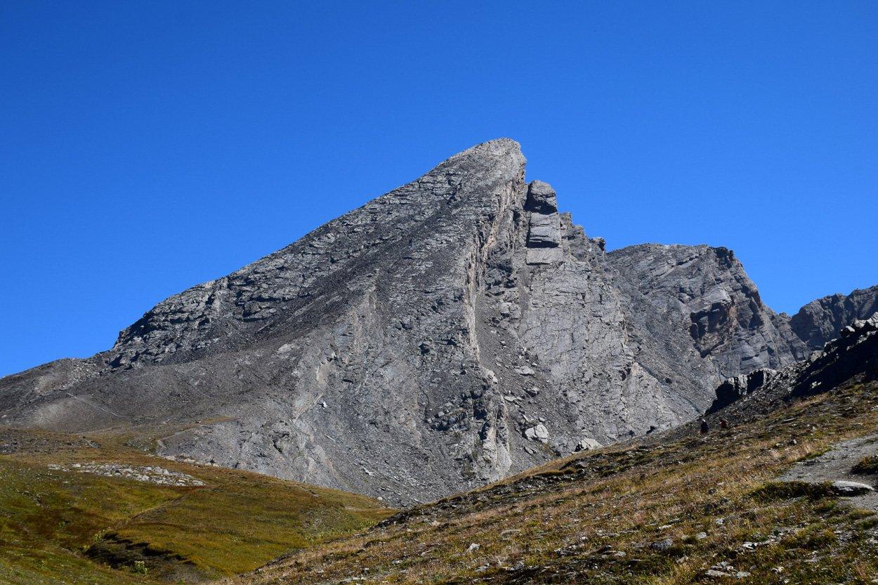
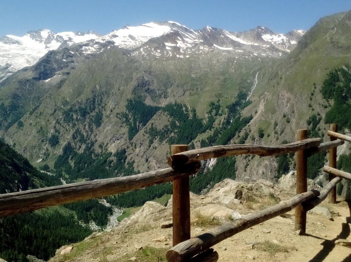
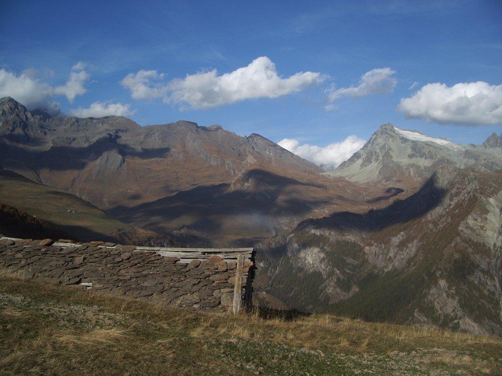
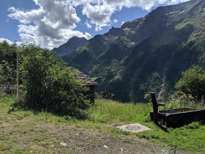
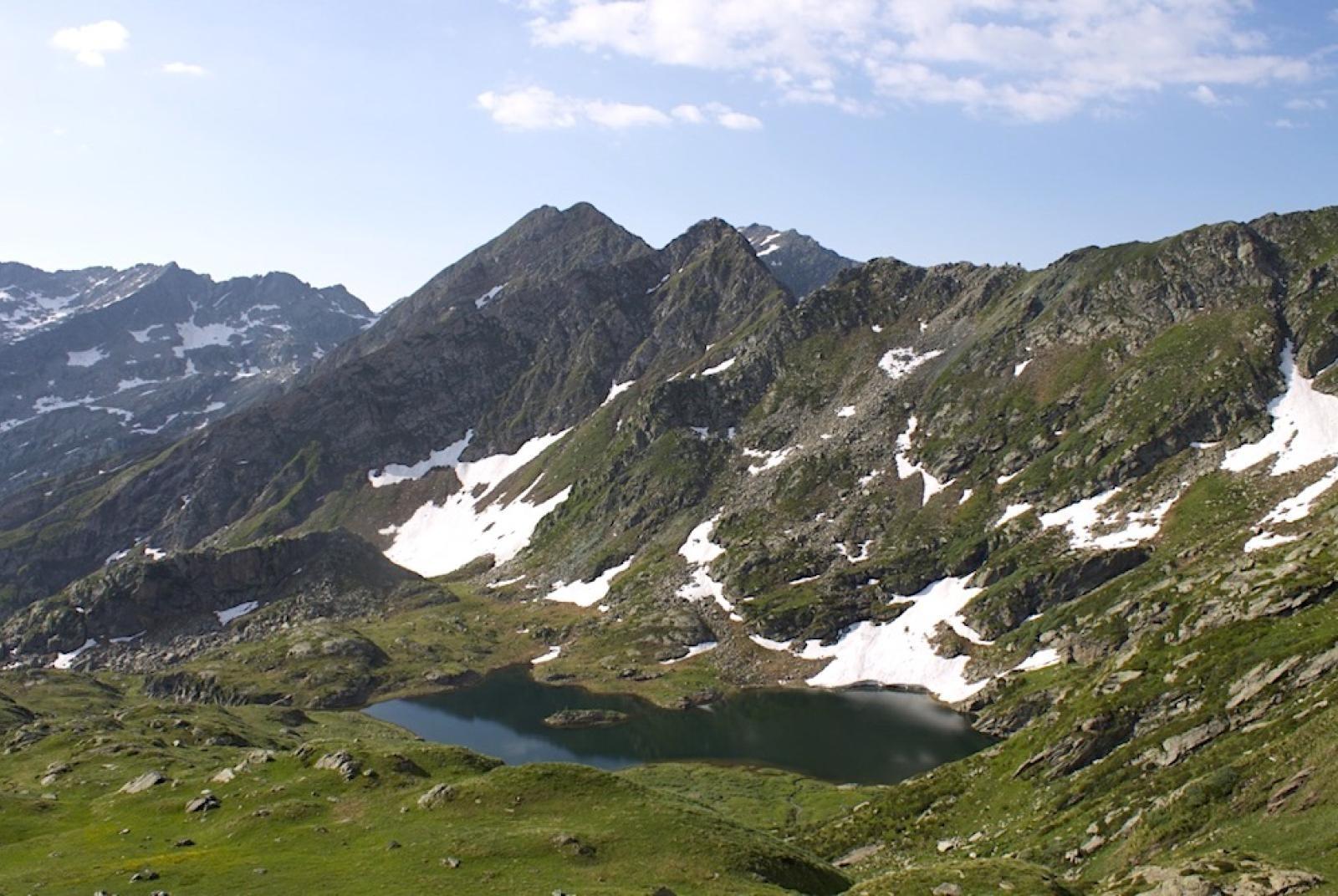
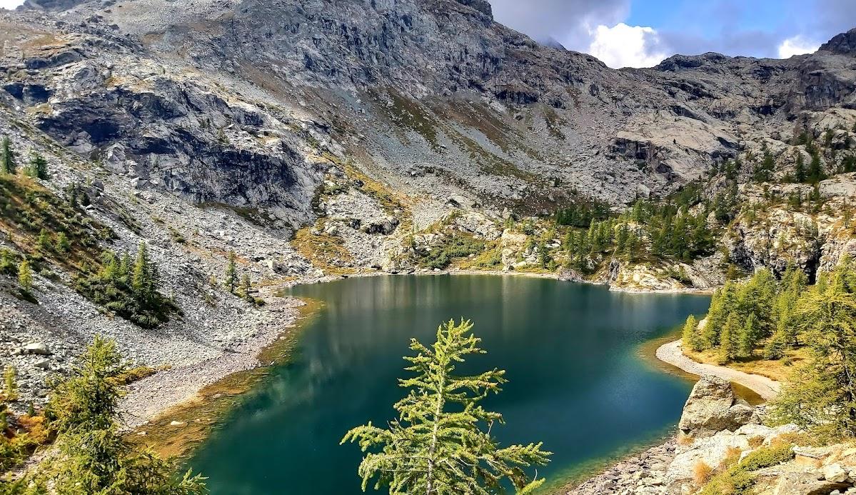
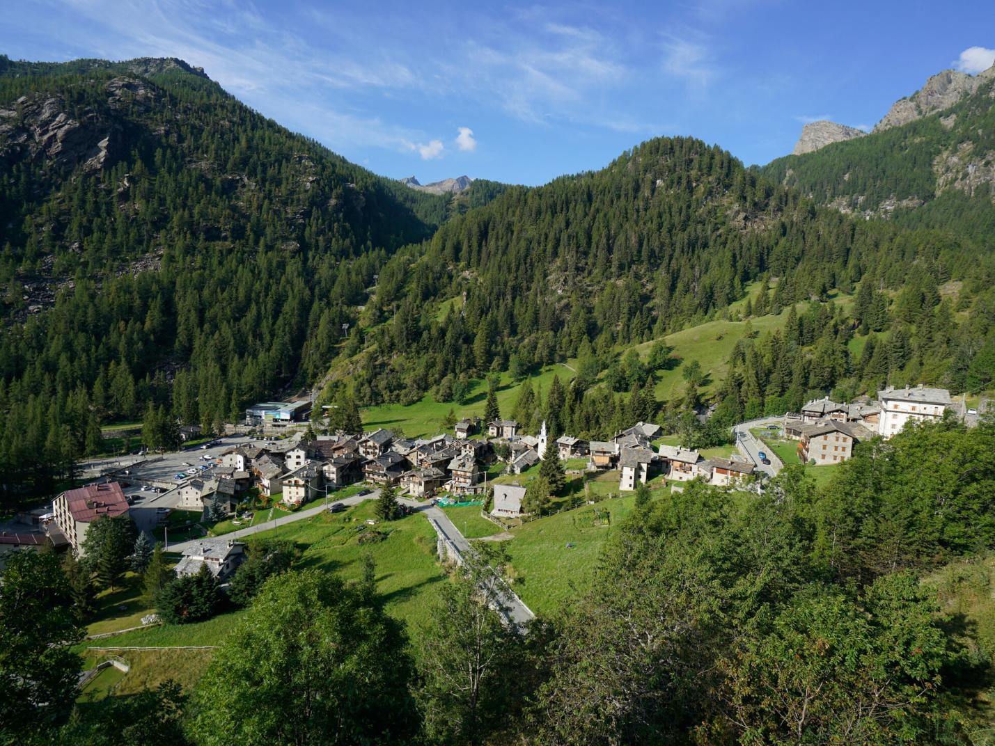
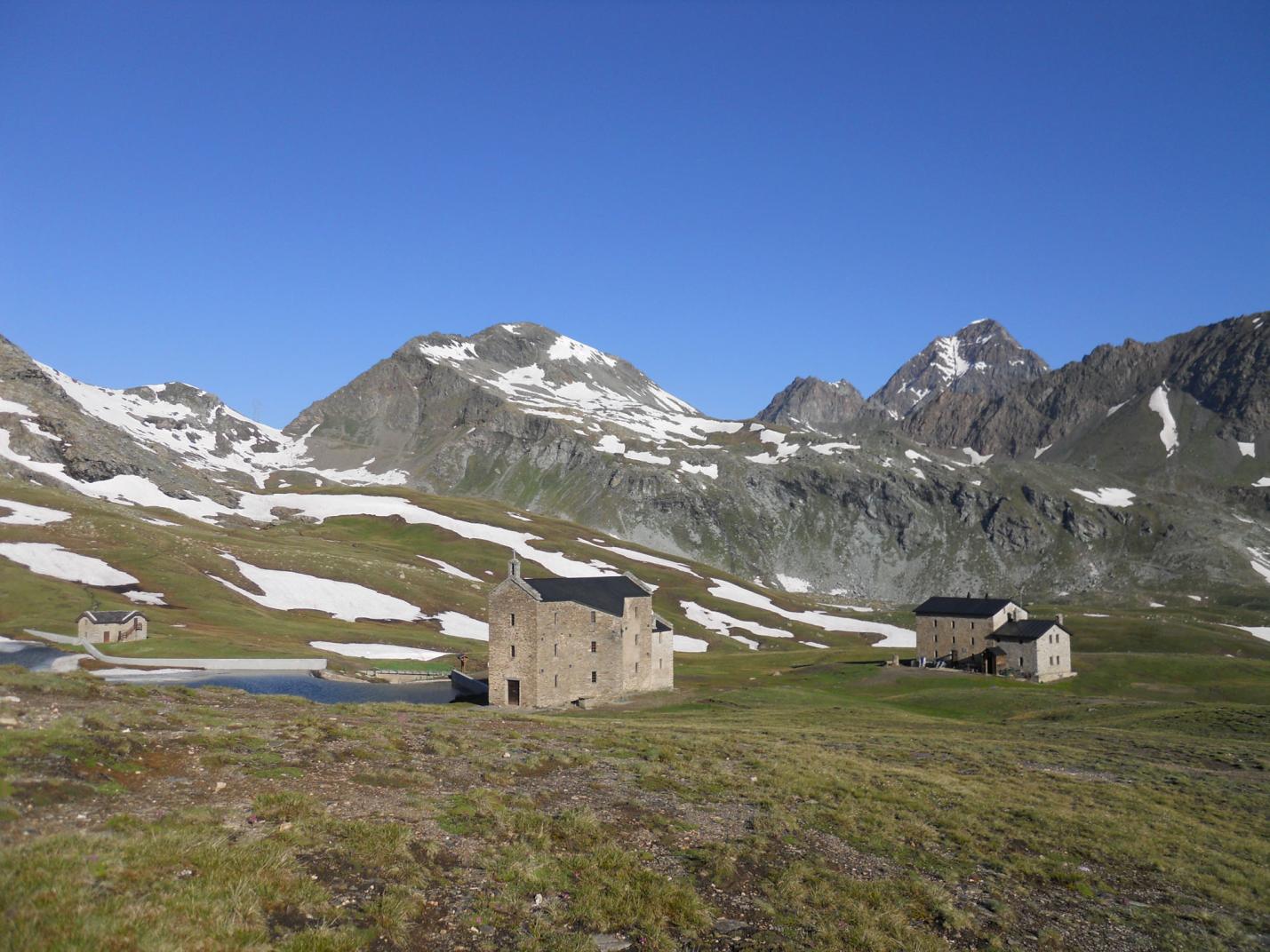
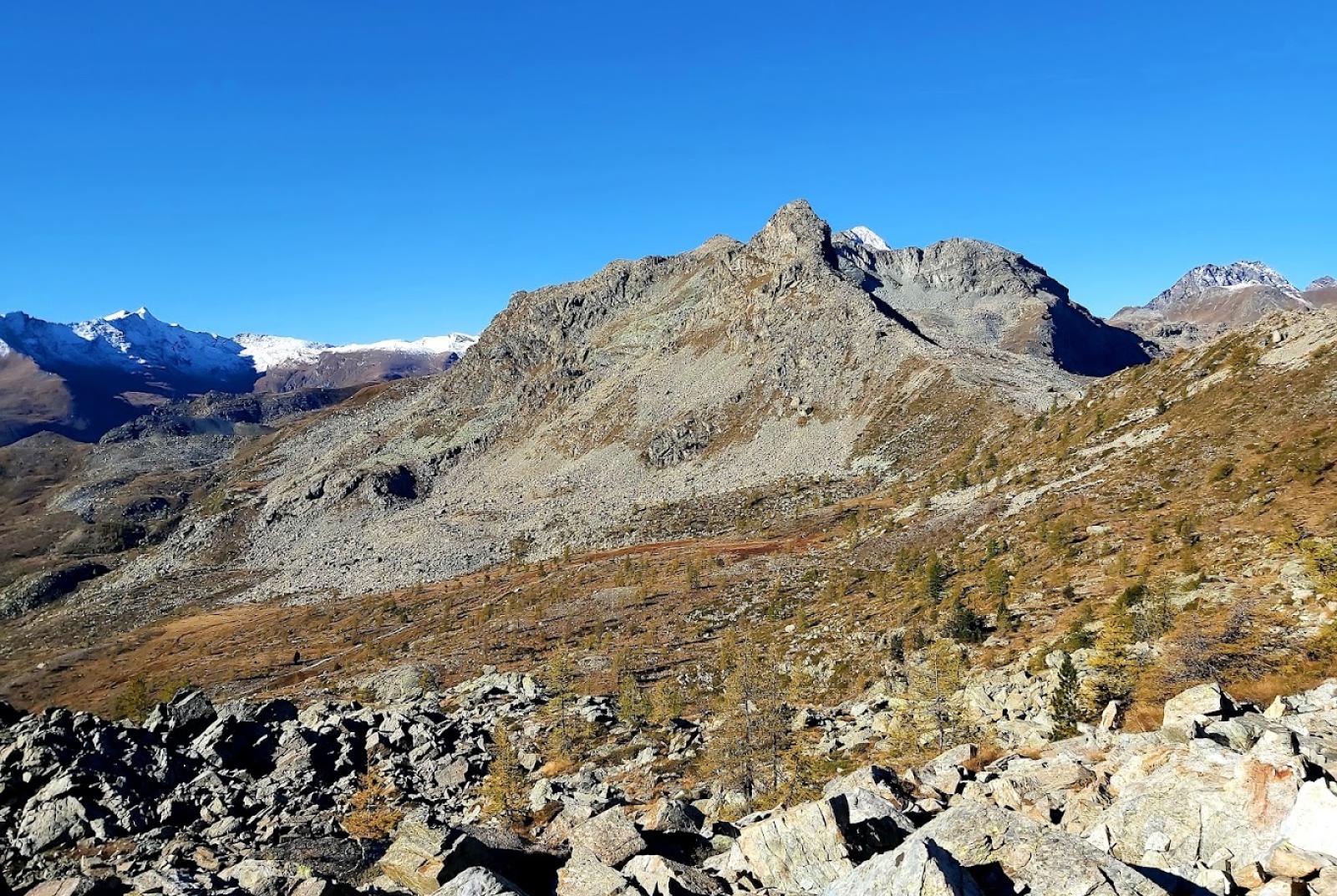
This circular hike allows you to immerse yourself in a charming natural environment far from mass tourism. The route traverses the Valley of Champorcher and the upper Vallone di Issogne, passing through forests, clearings, alpine pastures, and stony areas. At the summit of Cima Piana (2512 meters above sea level), you will enjoy a stunning panorama of the lower Aosta Valley, the Vallone di Champdepraz, and the Matterhorn and Monte Rosa massifs. During the descent, you will cross the Mont Avic Natural Park, passing through enchanting wetlands and near Lake Muffé. This hike offers a chance to experience the natural beauty of the area, away from more typical hiking routes, exploring wild and wonderful places.

First section: Remoran – Cima Piana (trail no. 11/11A-3A-10D/102)
After leaving your car in the large parking area, find the trail that climbs towards the pastures of La Cort. Avoid the trail on the left that leads to the alpine pastures and instead take the right fork (trail no. 11/11A). Continue alongside the large alpine pastures, then enter the forest, which is interrupted by large stony areas. Be careful to find the left fork (at around 1840 meters above sea level) leading to Colle Terre Rosse (abandon the main trail that continues straight). Climb through the steep forest to reach Colle Terre Rosse (2022 meters above sea level), immersed in a beautiful forest until the ridge. From the pass, the trail descends into the Vallone di Issogne, cutting left until you reach a noticeable clearing. Cross the entire clearing and, at the end, find the fork for trail no. 3A (at about 1965 meters above sea level) that will lead you towards Cima Piana. After a section along the edge of the forest, the trail climbs left into the forest. The trail continues up a rather steep scree slope, passing between two "peaks," and emerges in a more level area with pastures, interspersed with rocks, sparse trees, and ruins. Here, the trail turns slightly right and becomes harder to find, so be attentive to the yellow marks and stone cairns present. In this large "clearing," looking towards the summit of Cima Piana, find the fork (at about 2295 meters above sea level) that leads to the trail for Colle Piana. Reach Colle Piana (2378 meters above sea level) by following the trail marked by stone cairns and yellow marks. Continue on the trail that traverses the slope and find the trail leading up to Cima Piana. The section ascending to Cima Piana is subject to erosion as it is loose, so the trail is not always clear, and it is advised to follow the stone cairns carefully. Once at the summit of Cima Piana (2512 meters above sea level), enjoy the splendid view and take a well-deserved break.

Second section: Cima Piana – Remoran (trail no. 10D/102-10C-10)
After enjoying the view, retrace your steps to the fork on the trail that continues west. Proceed along the trail through loose terrain/scree until you reach an area with clearings, wetlands, and sparse trees. Find the left fork (at about 2284 meters above sea level) that descends towards Lake Muffé (avoid the trail to the right leading to Champdepraz). Descend left through clearings with sparse trees on trail no. 10C, heading towards Champorcher until you encounter the main trail leading to Lake Muffé. It is recommended to take a break at the Lake Muffé refreshment bar or by the lake. After resting, descend towards Remoran/Champorcher until you find a left fork (trail no. 10 towards Chardonney/Cort; avoid the trail to the right that descends to a higher parking area). The trail traverses the large pastures of the Cort alpine pastures, passing through them. Then descend on the trail, crossing the pastures on a noticeable mule track, leading you back to the parking area where you left your car.

Notes: Circular route of medium difficulty. The trail is not always clearly visible or easy to follow. In particular, the section to Cima Piana may not be well marked. It is recommended to undertake this hike if you consider yourself quite experienced.

Variants:
• Cima Piana (with ascent and descent from Remoran and Lake Muffé)
Trail markers: 10 – 10C - 10D/102
Elevation gain: 745 meters
Distance: 3.6 km (one way)
Ascent time: 2h15-2h45
Descent time: 1h20-1h50
Difficulty: E
Details of the tour

Properties

Typology: Trekking

Difficulty: Medium

Ascent: 900 m

Duration: 5 hours

Distance: 8100 m

Where

Start point
Remoran 1691 m s.l.m.

Get me there

Mobility

leave the car in the large square two hairpin bends above the hamlet of Mont Blanc

Destination
Remoran

Find nearby

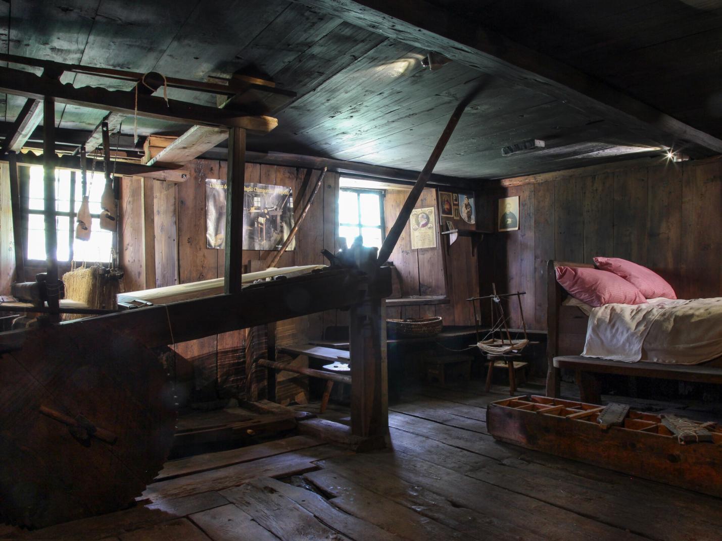
Ecomuseo della Canapa

0.53km

Valle di Champorcher

Culture

Hemp eco-museum

Località Chardonney , 11020 Champorcher AO

Champorcher

0.99km

Valle di Champorcher

Culture

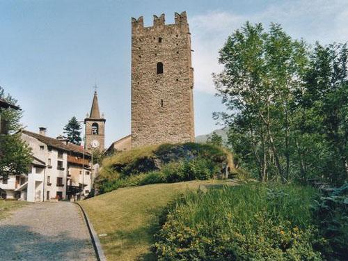
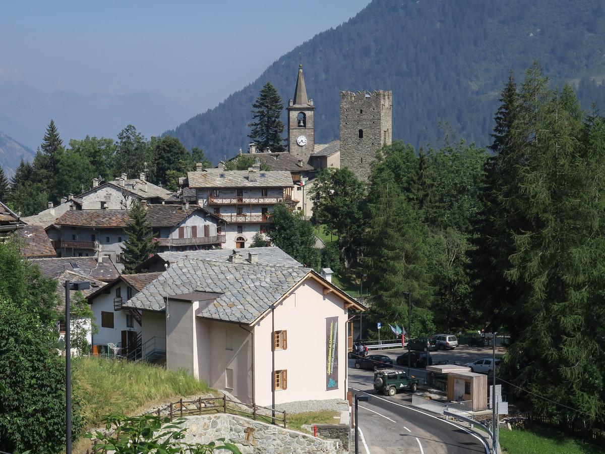
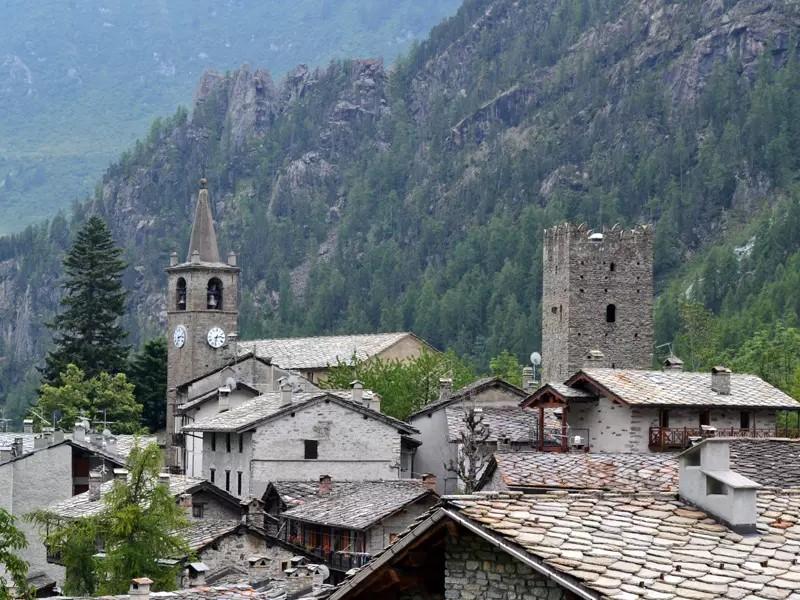
Medieval tower and parish church

Champorcher, 11020 Champorcher AO

Cappella del gom

6.50km

Valle di Champorcher

Culture

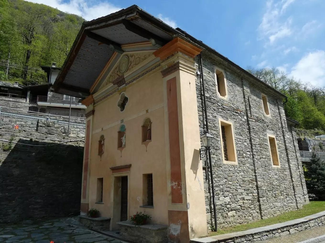
Chapel of Gom

Cappella del Gom, 11020 Pont-Bozet AO

Santuario del Miserin

7.39km

Valle di Champorcher

Culture

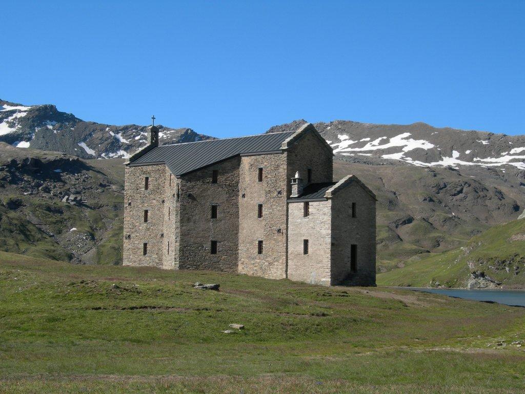
Miserin Lake Virgin Mary

Miserin, 11020 Champorcher AO

Rifugio barbustel

Trekking

0.38km

Valle di Champorcher

Active

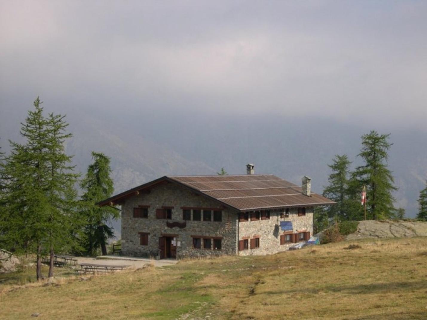
Refuge Barbustel

Duration: 2 hours 30 minutes

Length: 3400 m

Difficulty: Medium

Champdepraz

Trekking

0.38km

Valle di Champorcher

Active

Between Champorcher and Champdepraz

Duration: 5 hours

Length: 10400 m

Difficulty: Medium

Ronchas

Walk

0.51km

Valle di Champorcher

Active

Champorcher – Dondena

Champorcher

Alpinism

0.51km

Valle di Champorcher

Adrenaline

Dry Tooling

Champorcher

Trekking

0.64km

Valle di Champorcher

Active

Belvedere of the house in the woods

Duration: 1 hour 20 minutes

Length: 1350 m

Difficulty: Medium

Lago vercoche

Trekking

0.68km

Valle di Champorcher

Active

Lake Vercoche

Duration: 5 hours 30 minutes

Length: 14500 m

Difficulty: Medium

Vallone dondena

Walk

0.95km

Valle di Champorcher

Active

Champorcher Dondena

Aplinismo

Alpinism

0.96km

Valle di Champorcher

Adrenaline

Approach to Mountaineering

Frassiney

Walk

0.96km

Valle di Champorcher

Active

Frassiney – La Bourney

Tour

Trekking

0.96km

Valle di Champorcher

Active

Tor des Géants – 4k Trail

Length: 25000 m

Difficulty: High

Lago Miserin

Alpinism

0.97km

Valle di Champorcher

Adrenaline

Costazza

Alpinismo

Alpinism

0.98km

Valle di Champorcher

Adrenaline

Mousaillon

Champorcher

Walk

0.98km

Valle di Champorcher

Active

Ourty

Lago vercoche

Walk

0.99km

Valle di Champorcher

Active

Champorcher – Vercoche < 2h

Punta Zuc

Trekking

1.00km

Valle di Champorcher

Active

Punta dello Zuc

Duration: 3 hours

Length: 6000 m

Difficulty: Medium

Zuc

Walk

1.00km

Valle di Champorcher

Active

Zuc

Ayasse

Walk

1.00km

Valle di Champorcher

Active

Champorcher Pineta

Col Fenetre

Walk

1.68km

Valle di Champorcher

Active

Monpey

Frassiney

Walk

2.41km

Valle di Champorcher

Active

Anello Frassiney – Outrelève

Lago Chilet

Trekking

2.41km

Valle di Champorcher

Active

Lake Chilet

Duration: 3 hours 45 minutes

Length: 7000 m

Difficulty: Medium

Happy Trekking Monterosa

23.67km

Active

Happy Trekking in Gressoney

Promotion valid from June 1 to September 15

Villa Deslex, 11025 Gressoney-Saint-Jean AO

Trottola

0.58km

Valle di Champorcher

Culture

La Trottola Champorcher

Frazione Chardonney 120 B, 11020 Champorcher AO

Minimarket Gabry Champorcher

0.62km

Valle di Champorcher

In town

MINIMARKET GABRY

Frazione Chardonney, 120, 11020 champorcher AO

Champorcher Pharmacy

0.92km

Valle di Champorcher

Wellness

CHAMPORCHER PHARMACY

Frazione Vignat n° 24, 11020 champorcher AO

Birrificio

1.00km

Valle di Champorcher

Food

Birrificio Champorcher

Champorcher, 11020 Champorcher AO

1.01km

Valle di Champorcher

In town

BUTCHER’S SHOP DE ROSSO ISIDORO
loc. Chateau 9, 11020 Champorcher AO

Negozio

23.67km

Valle di Champorcher

Wellness

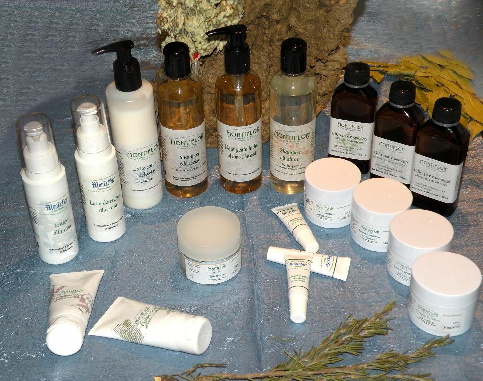
AZIENDA AGRICOLA MONTIFLOR L’ERBA DEL VICINO

FRAZIONE Chardoney, 38, 11020 Champorcher AO

0.64km

Valle di Champorcher

Bistrot De l’Abbe

Frazione Chardonney 120/A, 11020 Champorcher AO

Ski man – bar restaurant

0.66km

Valle di Champorcher

Ski man – bar restaurant

Loc. Chardonney 88, 11020 Champorcher AO

Bar

0.74km

Valle di Champorcher

Bar Le Foyer du Fond Champorcher

località Le Vignat 18, 11020 Champorcher AO

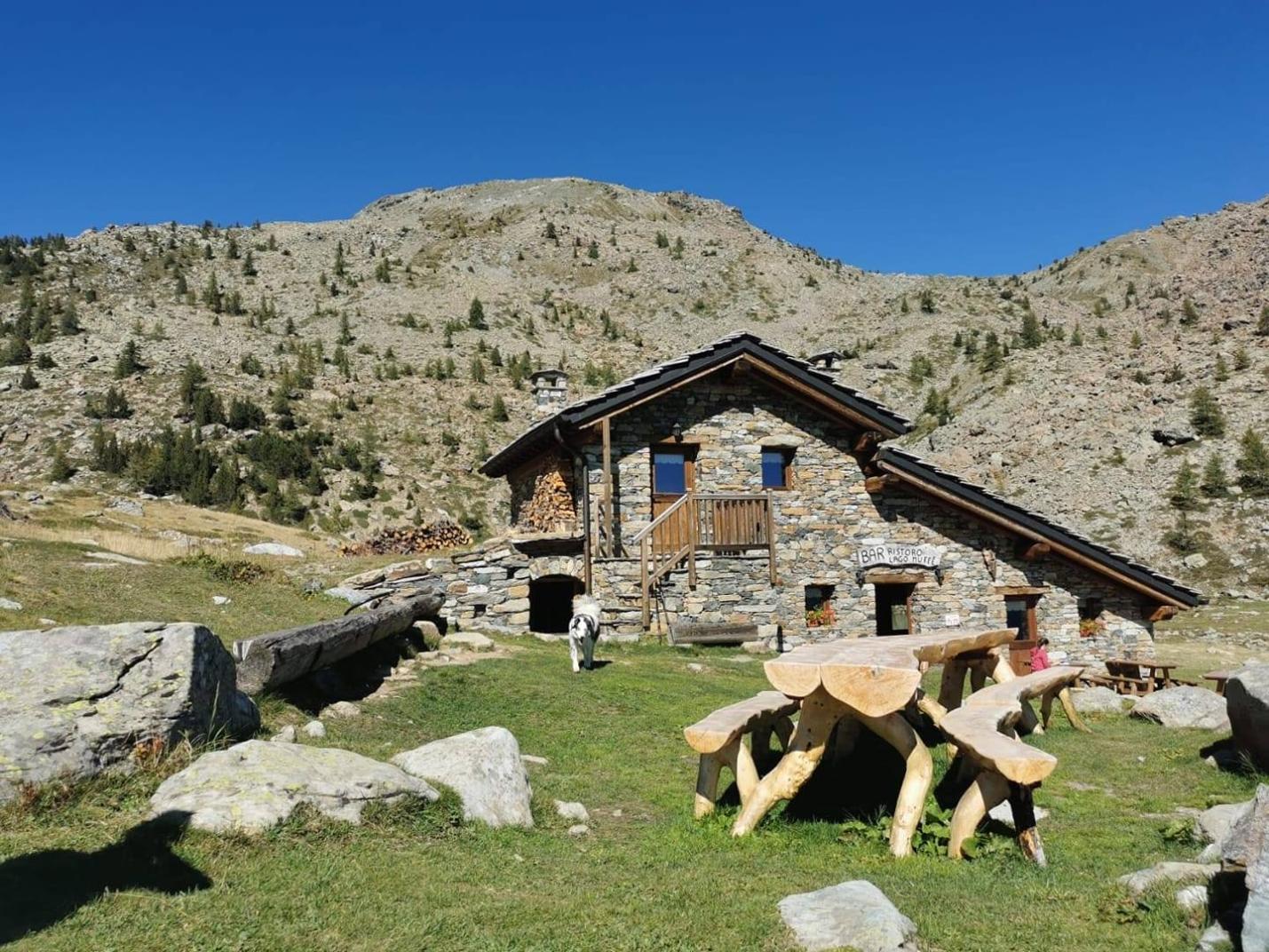
Bar ristoro lago muffe

1.23km

Valle di Champorcher

BAR RISTORO LAGO MUFFE’

Lago Muffe, 11020 champorcher AO

le relais des reines

1.89km

Valle di Champorcher

RESTAURANT LE RELAIS DES REINES

Frazione Vigneroisa, 8, 11020 Champorcher AO

Restaurant mellier

2.23km

Valle di Champorcher

RESTAURANT BAR MELLIER

frazione mellier 85, 11020 CHAMPORCHER AO

Le Moulin Des Aravis

4.37km

Valle di Champorcher

RESTAURANT LE MOULIN DES ARAVIS

Frazione Savin, 55, 11020 Pontboset AO

Restaurant Chez Isabel

6.25km

Valle di Champorcher

RESTAURANT CHEZ ISABEL

Loc. Pont Bozet 96, 11020 Pontboset AO

REVIVRE VILLAGE

0.52km

Valle di Champorcher

REVIVRE VILLAGE

Fraz. Ronchas 11, CHAMPORCHER AO

Book now

Revivre Village

0.53km

Valle di Champorcher

REVIVRE VILLAGE | Adults Only

Frazione Ronchas 11, 11020 Champorcher AO

0.62km

Valle di Champorcher

HOTEL PETIT PARADIS

fraz. Chardonney, 11020 Champorcher AO

Maison Nicole

0.63km

Valle di Champorcher

Maison Nicole

fraz. Chardonney 94, 11020 Champorcher AO

ALBERGO CASTELLO DA BONINO

0.98km

Valle di Champorcher

ALBERGO CASTELLO DA BONINO

Loc.Castello, 53, CHAMPORCHER AO

Book now

0.98km

Valle di Champorcher

HOTEL CASTELLO

Località Castello, 53, 11020 Champorcher AO

Relais des reines

1.89km

Valle di Champorcher

FARMHOUSE LE RELAIS DES REINES

Frazione Vigneroisa, 8, 11020 Champorcher AO

Hotel restaurant Beausejour

2.07km

Valle di Champorcher

Hotel restaurant Beausejour

Frazione Lore' 1, 11020 Champorcher AO

2.07km

Valle di Champorcher

B&B LA BRENVA

Fraz Verana 49, 11020 Champorcher AO

Casa Verana

2.10km

Valle di Champorcher

CASA VERANA

fraz. Verana 33, 11020 Champorcher AO

Rifugio barbustel

2.96km

Valle di Champorcher

Rifugio Barbustel

Località Lago Bianco, 11020 Champdepraz AO

4.01km

Valle di Champorcher

B&B LA BORMA DI POMBO

loc Barmacrepa 4, 11020 Pontboset AO

Le Moulin Des Aravis

4.33km

Valle di Champorcher

LE MOULIN DES ARAVIS

loc. Savin 55, 11020 Pontboset AO

AGRITURISMO LE MOULIN DES ARAVIS

4.39km

Valle di Champorcher

AGRITURISMO LE MOULIN DES ARAVIS

frazione Savin, n. 55, PONTBOSET AO

Book now

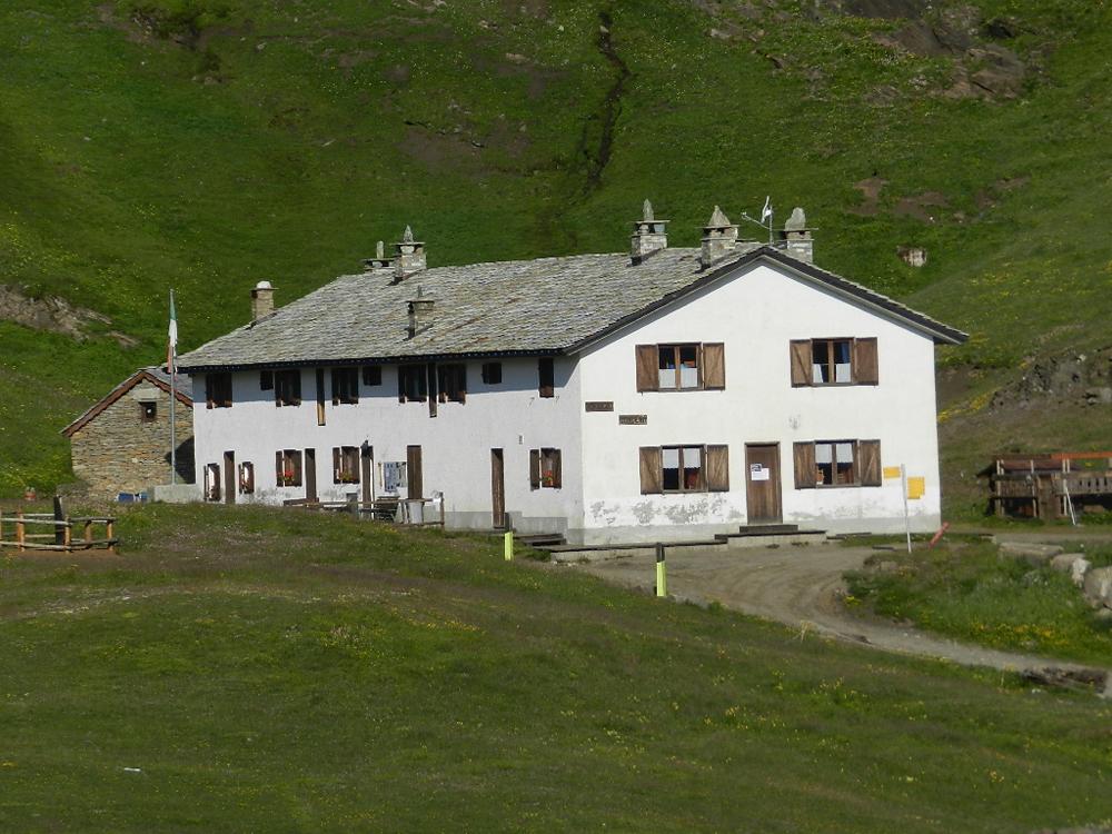
Dondena Refuge

4.85km

Valle di Champorcher

DONDENA REFUGE

Località Dondena, 11020 Champorcher AO

Li Tzatagni

5.68km

Valle di Champorcher

LI TZATAGNI

fraz La Chateigne, 11020 Pontboset AO

CHAMBRES D'HOTES LI TZATAGNI

5.70km

Valle di Champorcher

CHAMBRES D'HOTES LI TZATAGNI

fraz. Chateigne, PONTBOSET AO

Book now

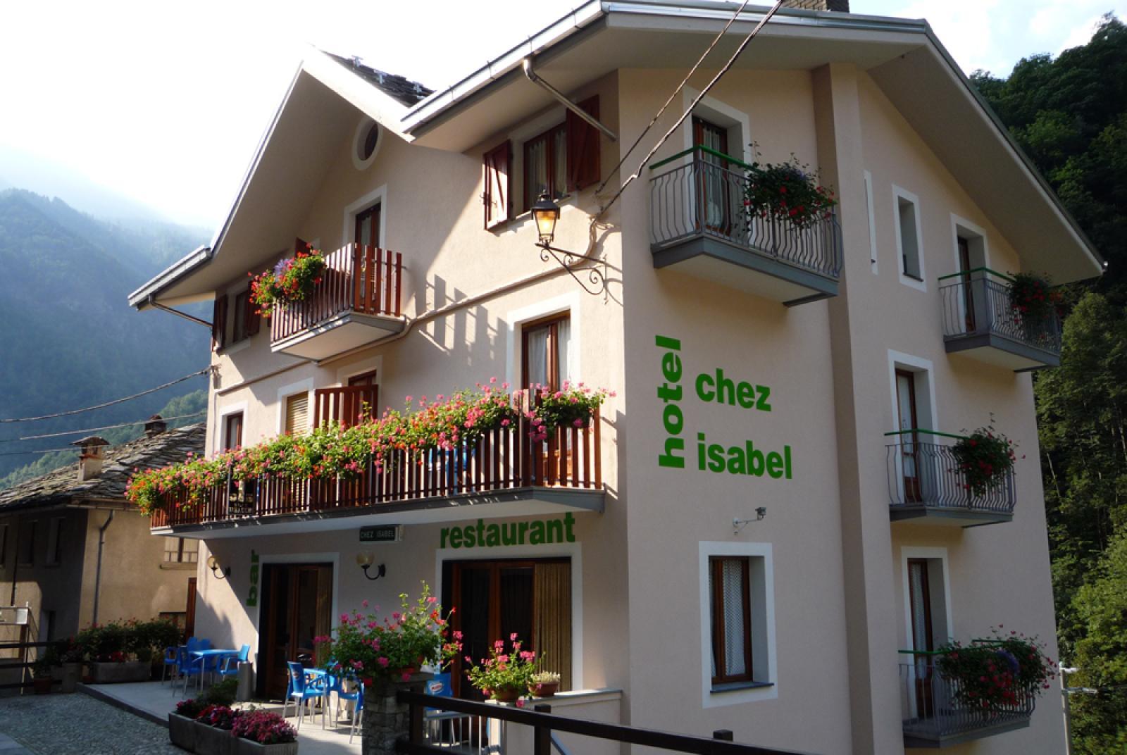
HOTEL CHEZ ISABEL

6.25km

Valle di Champorcher

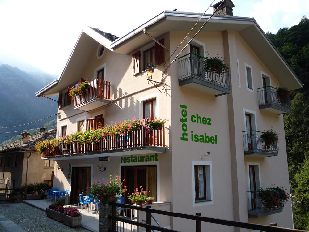
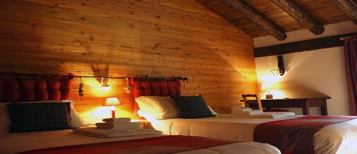
HOTEL CHEZ ISABEL

Fraz. Pont-Bozet, 95, PONTBOSET AO

Book now

Hotel ristorante Chez Isabel

6.26km

Valle di Champorcher

HOTEL CHEZ ISABEL

Loc. Pont Bozet 96, 11020 Pontboset AO

Ostello La Cresta del Lupo

6.44km

Valle di Champorcher

Ostello La Cresta del Lupo

loc. Pont-Bozet, 31, 11020 Pontboset AO

On the same topic

Champorcher

Trekking

Valle di Champorcher

Active

Menhir

Lago Muffè

Trekking

Valle di Champorcher

Active

Muffé Lake, Raty/Raté Lake and other lakes - Medium Version

Duration: 4 hours 30 minutes

Length: 11700 m

Difficulty: Medium

Champorcher

Trekking

Valle di Champorcher

Active

Between Champorcher and Gimillan

Duration: 10 hours

Length: 23000 m

Difficulty: High

Orrido delle Goilli

Trekking

Valle di Champorcher

Active

Orrido delle Goilli di Pourtset

Duration: 2 hours

Length: 4000 m

Difficulty: Medium

Lago

Trekking

Valle di Champorcher

Active

Lake Muffé, Lake Raty/Raté and other lakes

Percorso facile

Duration: 3 hours 30 minutes

Length: 8100 m

Difficulty: Medium

Pontboset

Walk

Valle di Champorcher

Active

Barmelle

Pontboset

Trekking

Valle di Champorcher

Active

Trek Pont Boset Mont Blanc

Pontboset retempio

Trekking

Valle di Champorcher

Active

Shrine of Retempio 2-5 h

Rifugio barbustel

Trekking

Valle di Champorcher

Active

Refuge Barbustel

Duration: 2 hours 30 minutes

Length: 3400 m

Difficulty: Medium

Ayasse

Walk

Valle di Champorcher

Active

Ayasse da Pont Boset in Pineta

tete du mont

Trekking

Valle di Champorcher

Active

Tête du Mont

Duration: 4 hours 30 minutes

Length: 5800 m

Difficulty: High

Col Fenetre

Walk

Valle di Champorcher

Active

Monpey

Lago vercoche

Trekking

Valle di Champorcher

Active

Col Laris and lake Vercoche

Duration: 3 hours 45 minutes

Length: 9000 m

Difficulty: High

Champorcher

Trekking

Valle di Champorcher

Active

Pontboset skyrace

Lago

Trekking

Valle di Champorcher

Active

Anello Gran Lago

Lago vercoche

Trekking

Valle di Champorcher

Active

Lake Vercoche

Duration: 5 hours 30 minutes

Length: 14500 m

Difficulty: Medium

bec monpey

Trekking

Valle di Champorcher

Active

Bec de Monpey

Duration: 2 hours

Length: 2160 m

Difficulty: Medium

Lago Miserin

Trekking

Valle di Champorcher

Active

Alta via n2

Dondena

Walk

Valle di Champorcher

Active

Lake Giasset

Dondena

Walk

Valle di Champorcher

Active

Laris Dondena