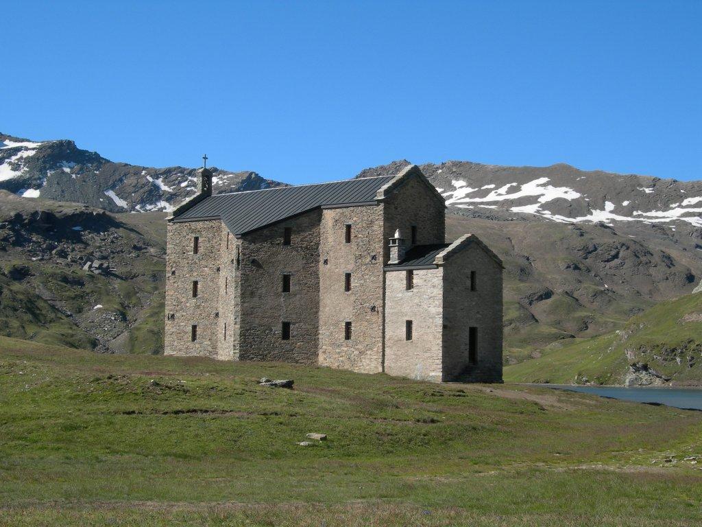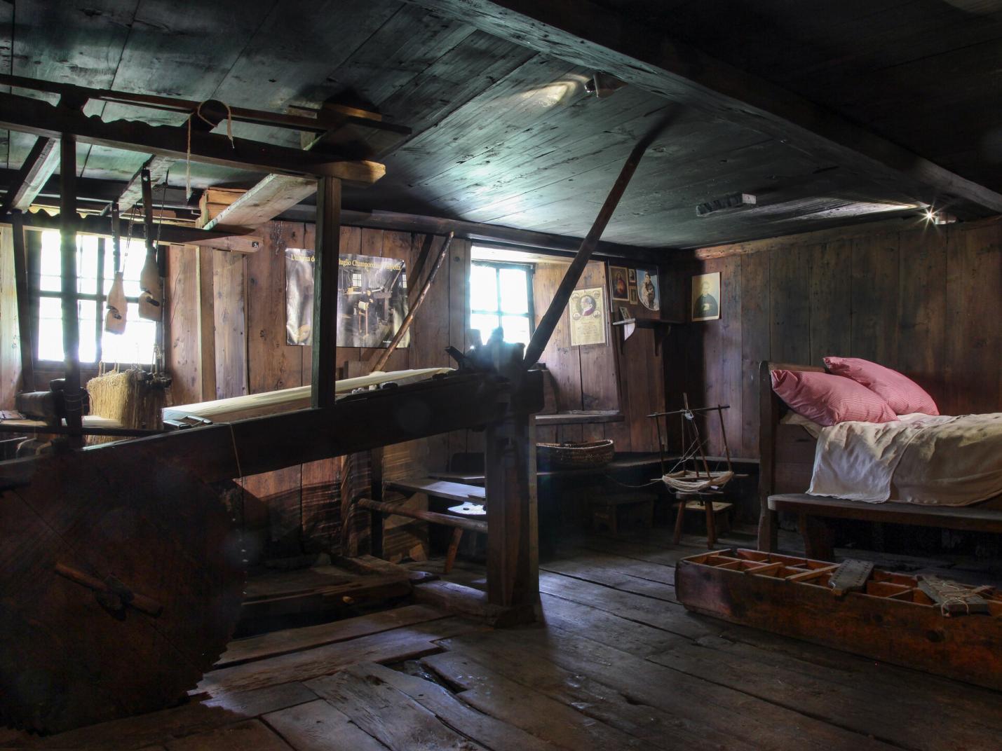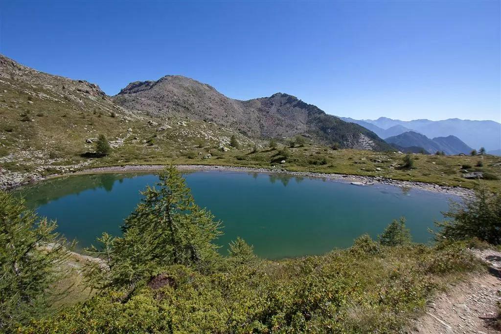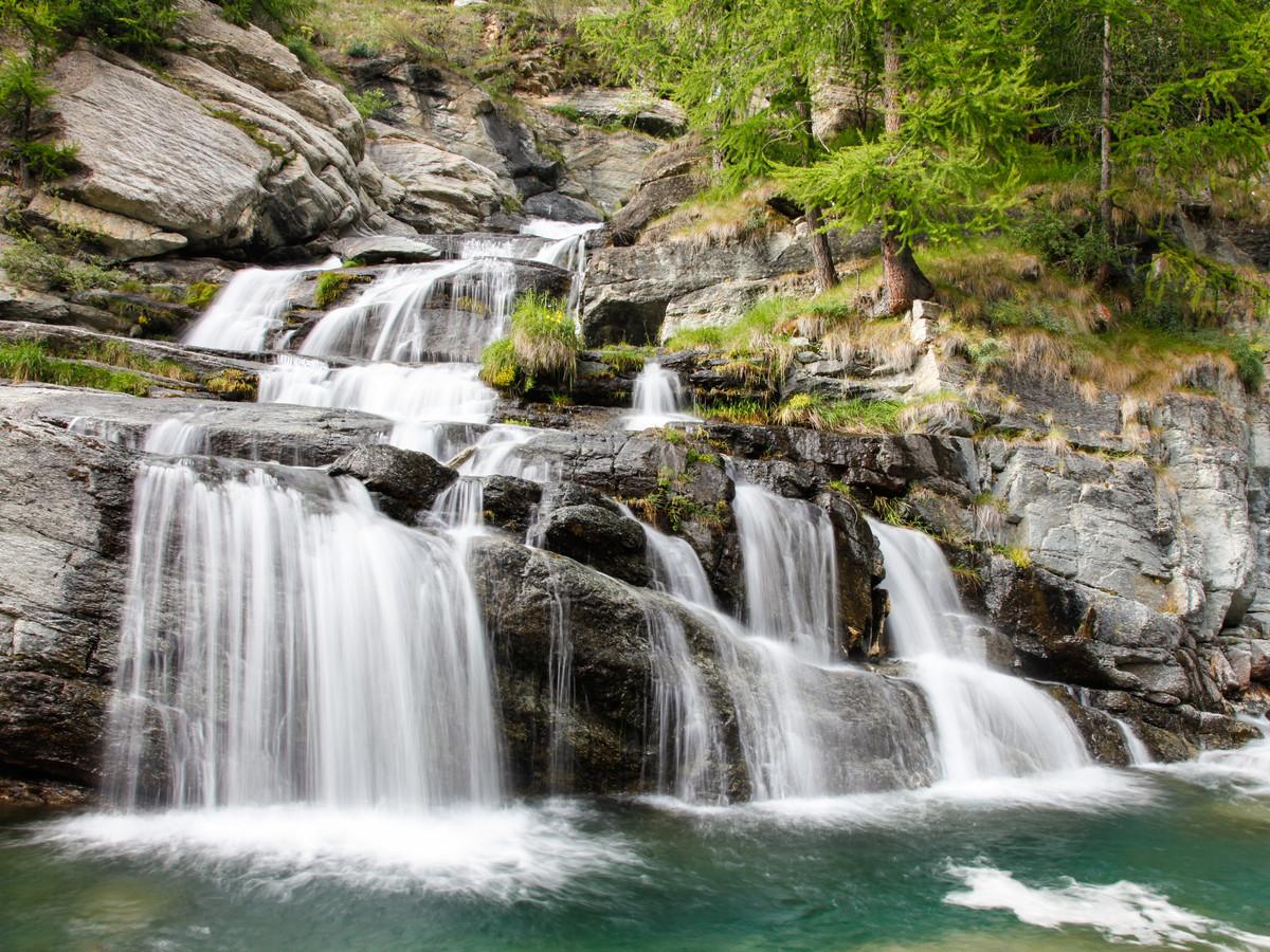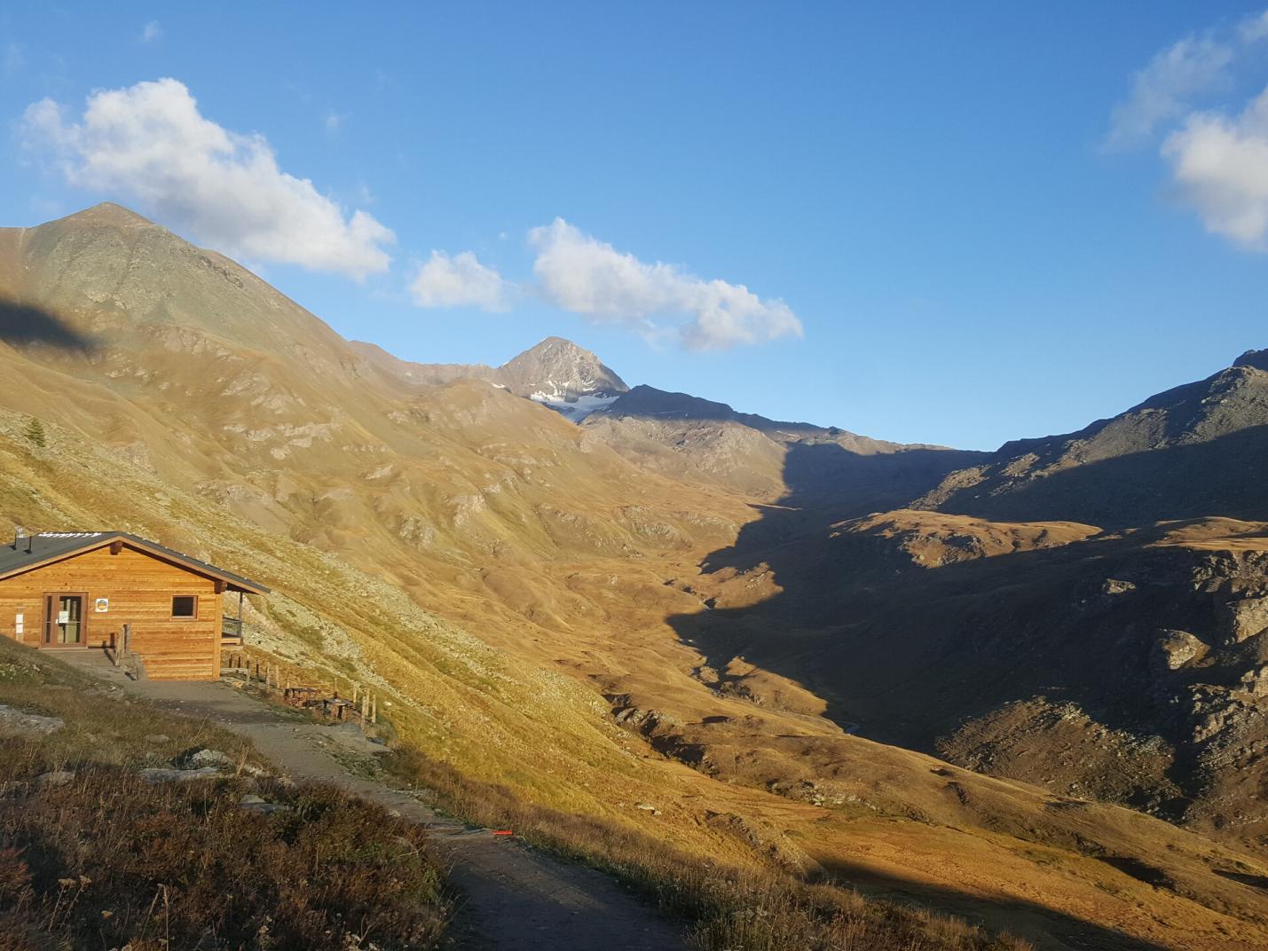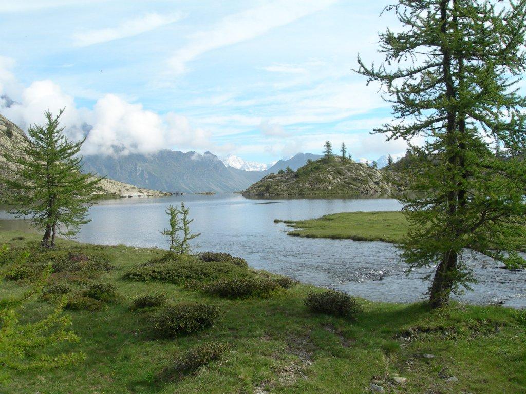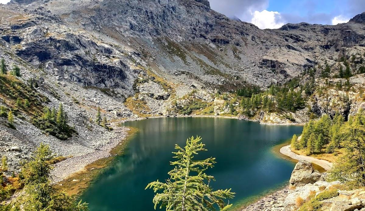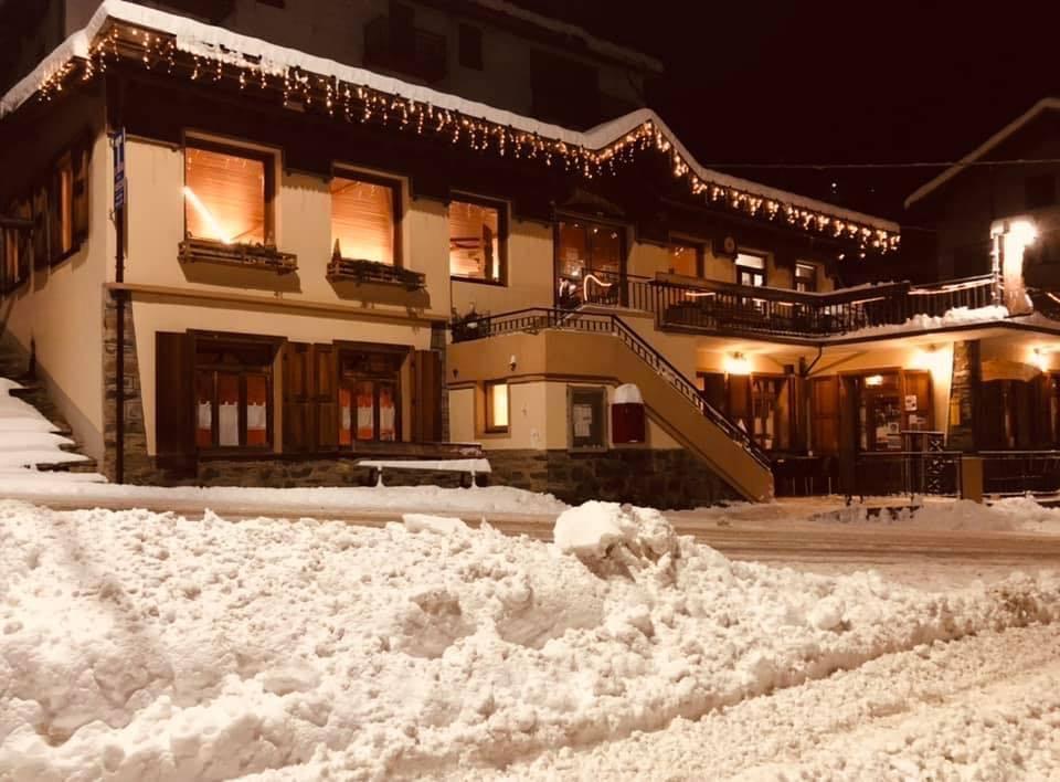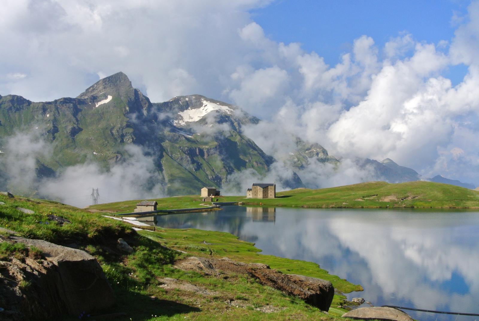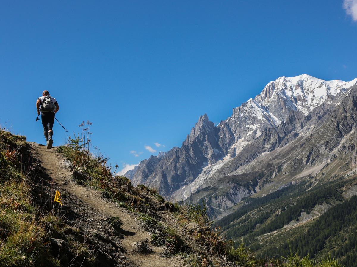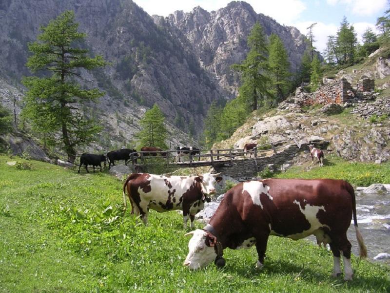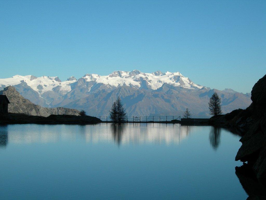
This hike will allow you to explore the lower region of the Mont Avic Park, on the Champorcher side, encountering various wetlands and incredibly beautiful lakes. You will admire the crystal-clear waters of several lakes including: Lake Muffé, Lake Vernoille, Lake Raty/Raté, Lake Giasset, and various wetlands. The flora and fauna you may encounter are also quite diverse. You will traverse different alpine pastures, forests, and high-altitude clearings. The hike deviates from the more touristy paths to reveal a wilder part of the park. We offer two versions of the hike with different difficulty levels, both of which are magnificent from a scenic perspective. These locations, away from mass tourism, offer a unique experience with nature and the valley's territory. The places you will visit also have historical interest, representing the perfect depiction of alpine pastures where the Valdostan cows graze in the summer. During the hike, take a moment to reflect on the hard life of the past, when summer was dedicated to mountain farming.
First Segment: Remoran – Lake Raty (Trail n° 10/10C, 9C or VA)
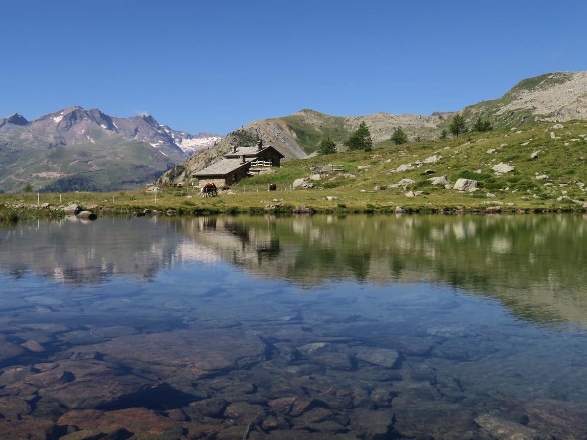
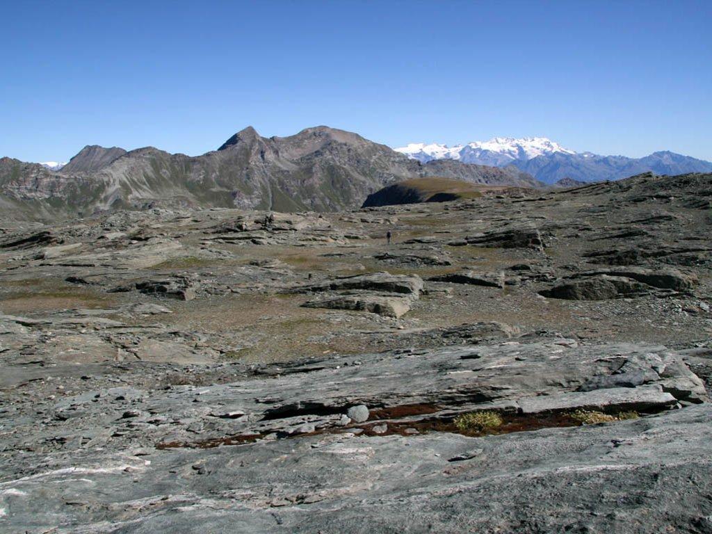
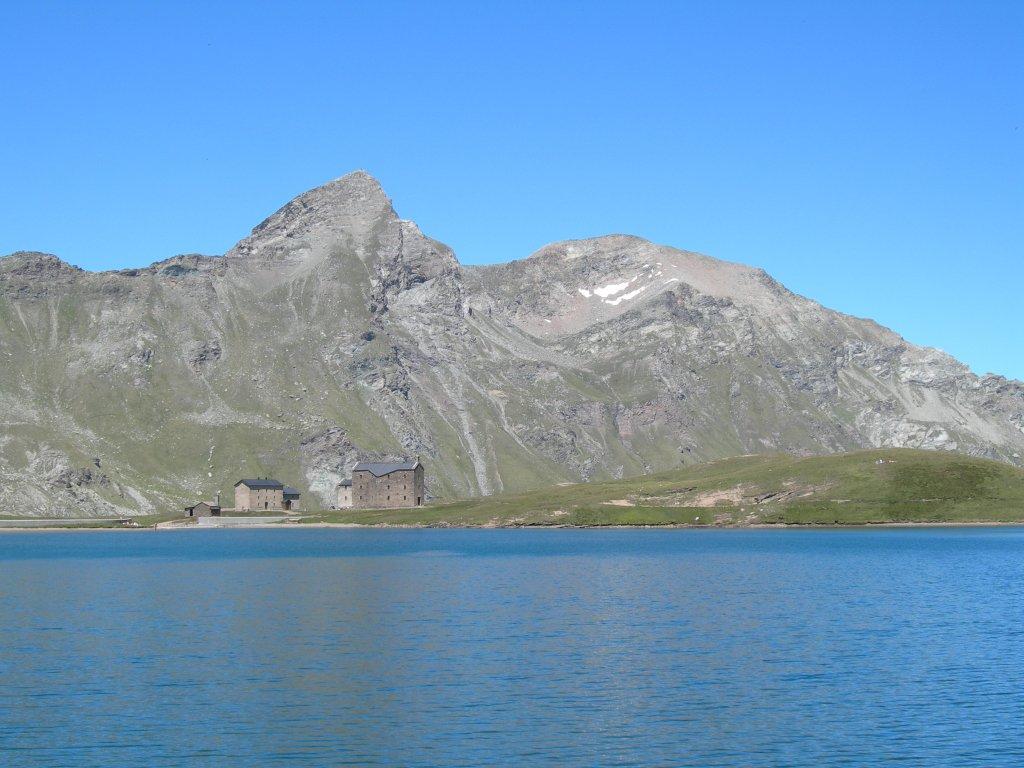
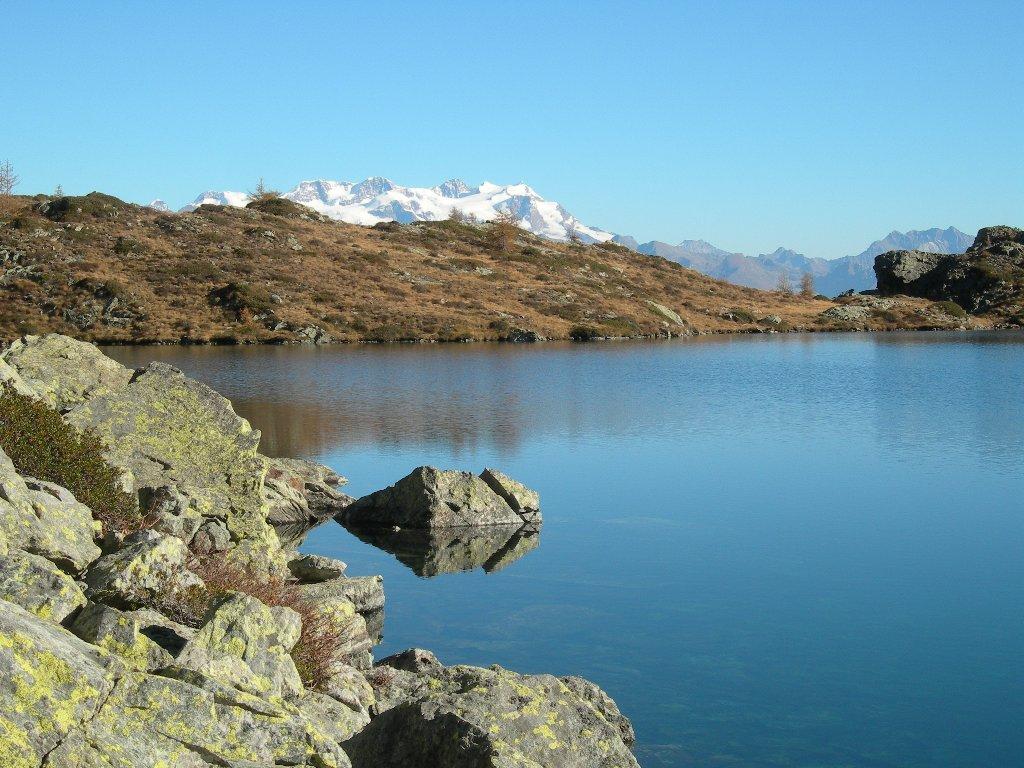
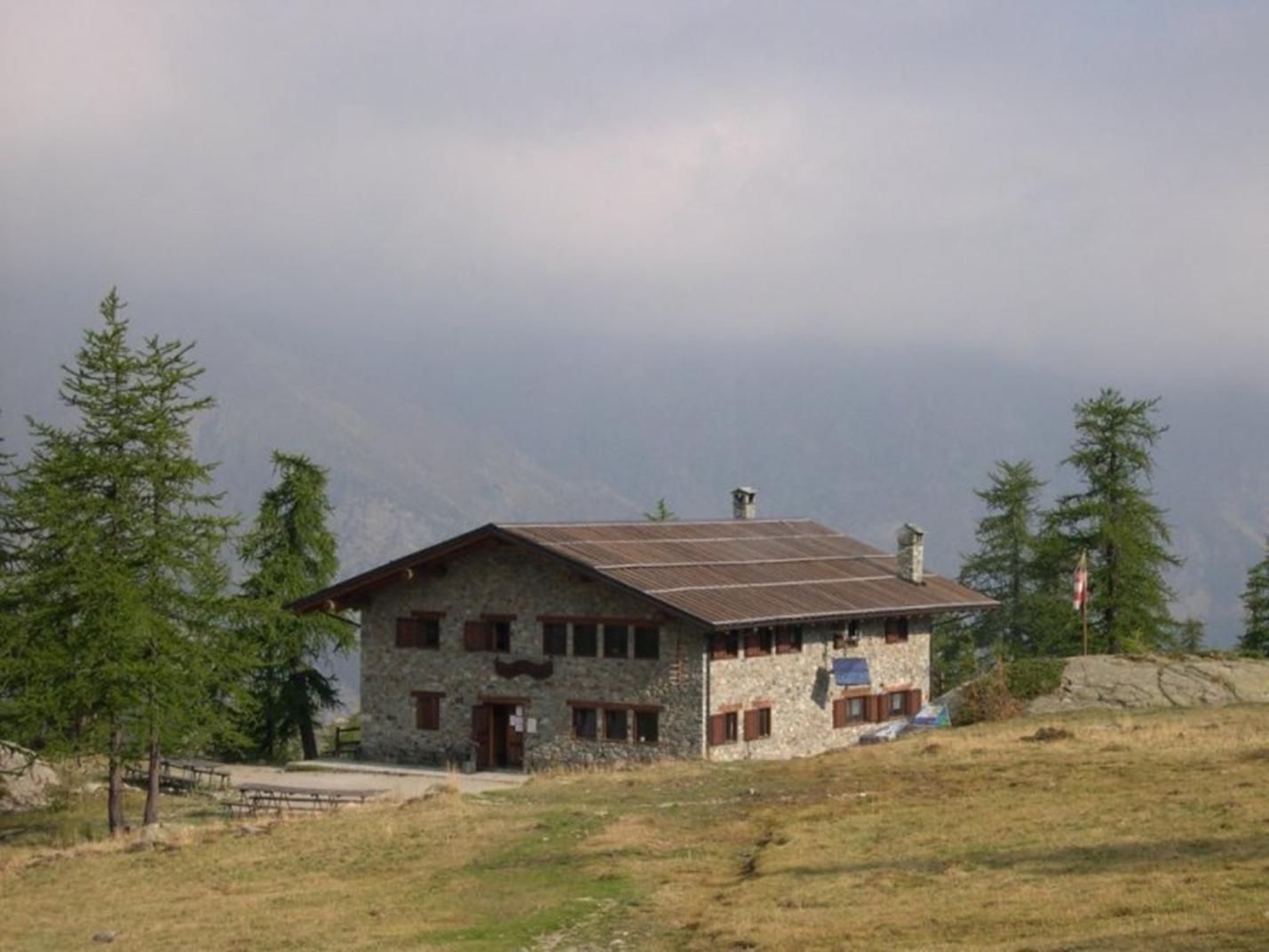
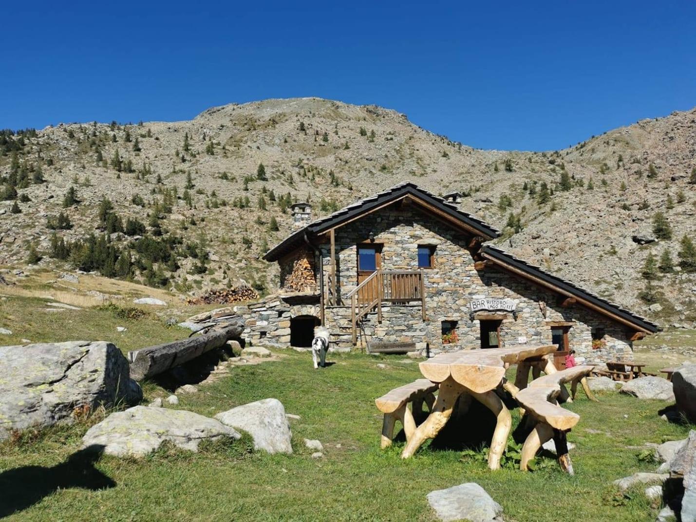
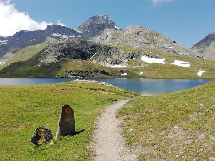
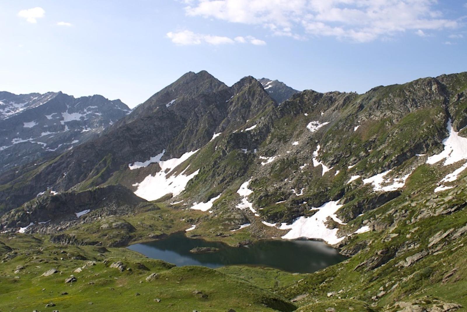
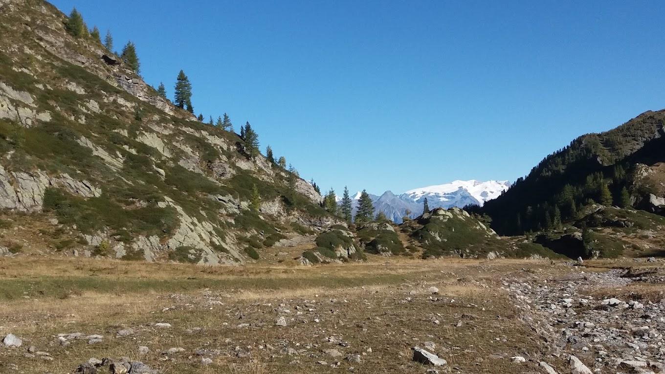
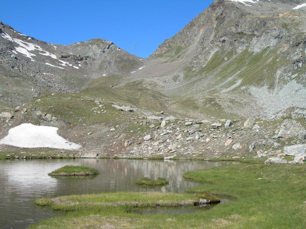
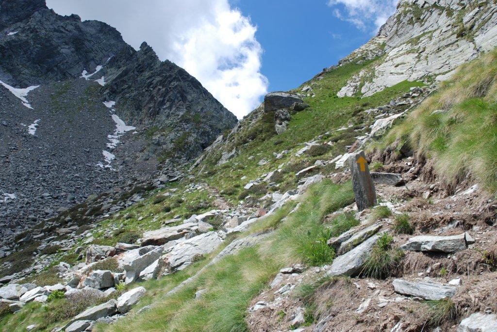
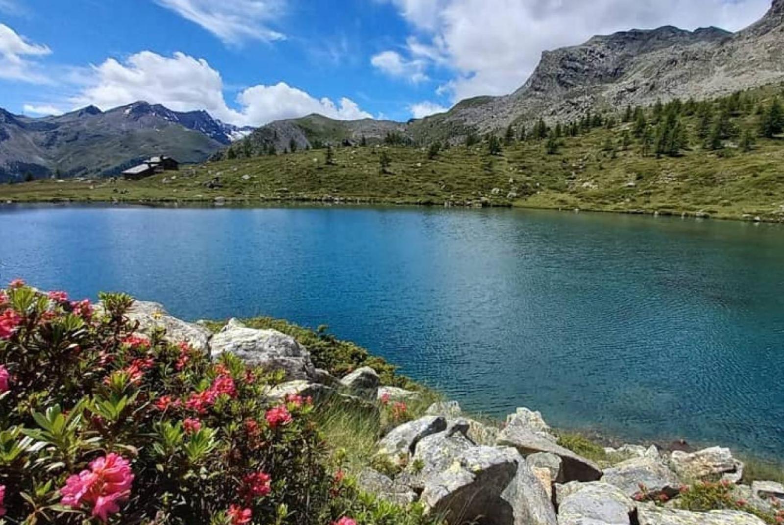
After leaving the car, take Trail n° 10, which ascends through forests and clearings until you reach the area of Lake Muffé, where it is advisable to take a break at the Bar ristoro Lago Muffé. Then, find Trail n° 9C to the left of the Bar ristoro Lago Muffé (junction at about 2075 m a.s.l.) and follow it to Lake Vernoille (2145 m a.s.l.). This section traverses several alpine pastures at mid-altitude and passes near an abandoned ruin until reaching Lake Vernoille. From Lake Vernoille, continue on Trail n° 9C to a saddle at about 2274 m a.s.l., where you can get a clear view of the entire hike. Descend along the slope to a plain where the old Raty pastures are located. Pass by a small lake and near the newly constructed pasture. From here, descend along the slope in the valley (without climbing) until crossing a small stream at about 2240 m a.s.l. (avoid Trail n° 9A that descends to the left). Continue on Trail n° 9C to Lake Raty (2284 m a.s.l.), where it is advisable to take a break.
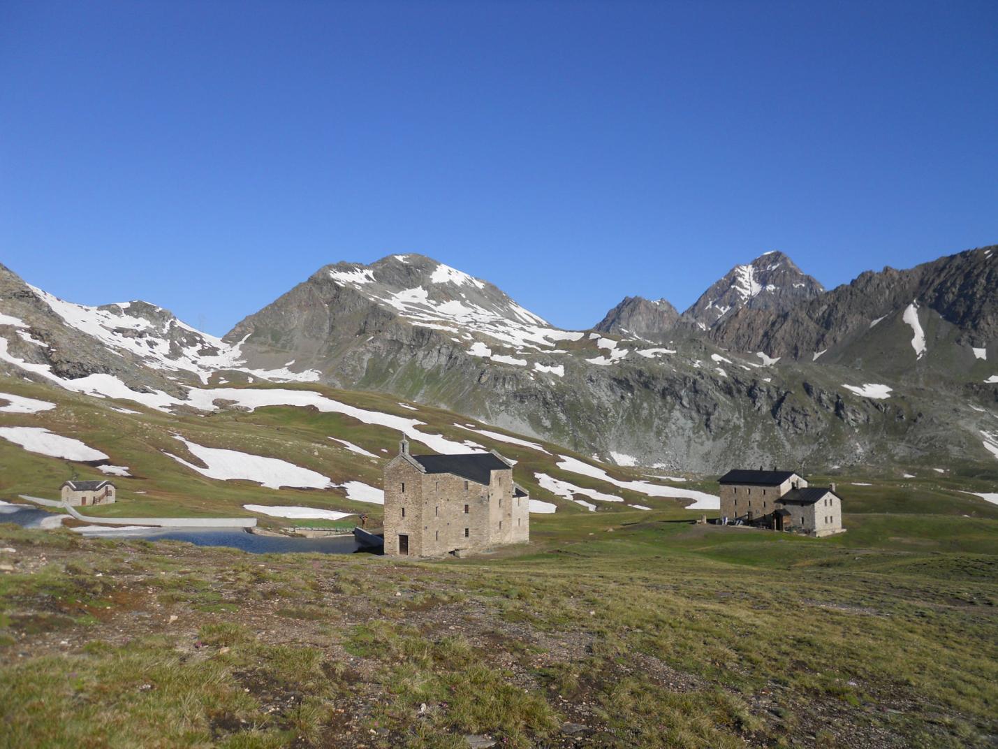
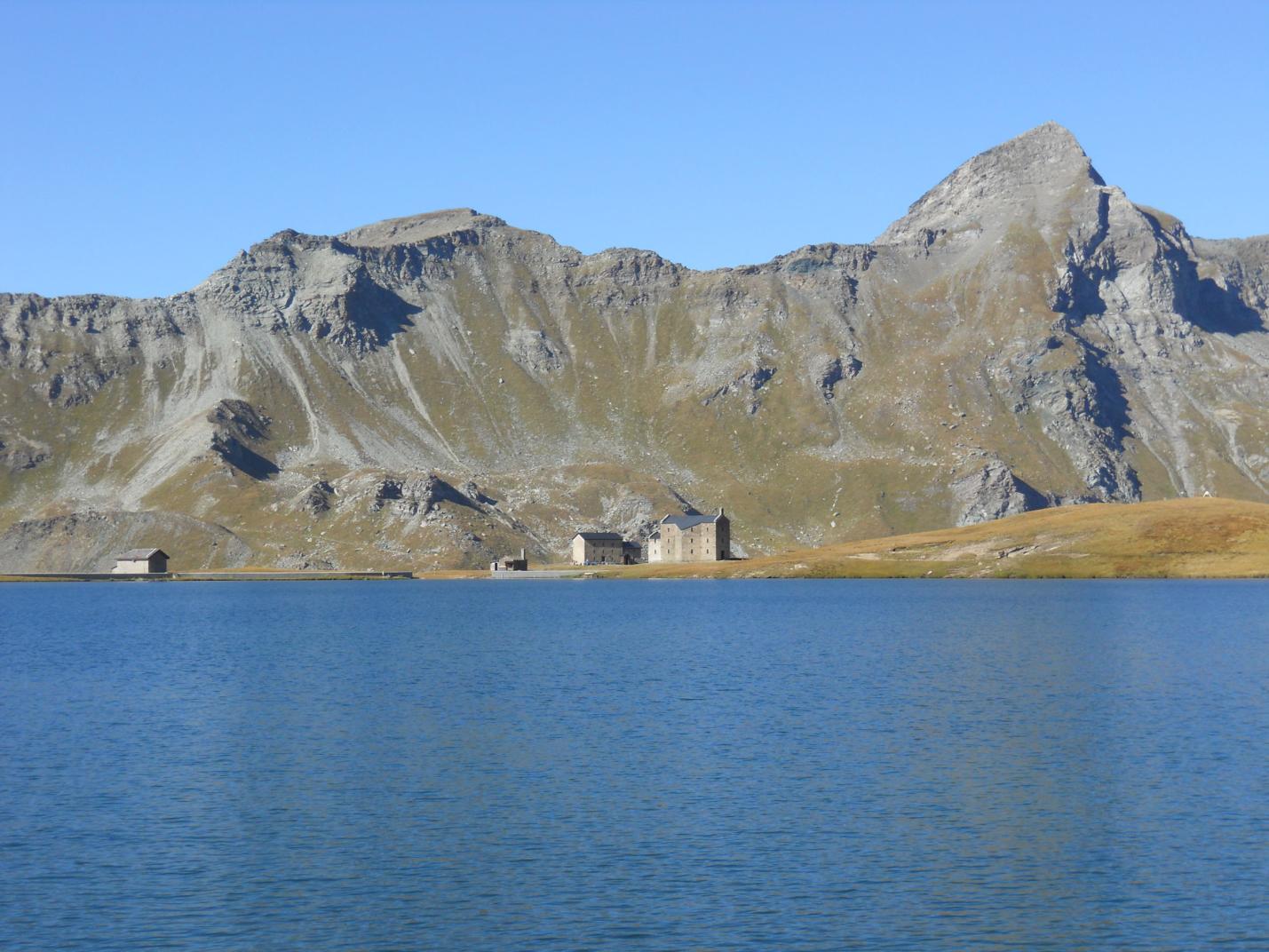
Second Segment: Lake Raty – Dondena Parking - Remoran (Trail n° 9/AV2 and 9B)
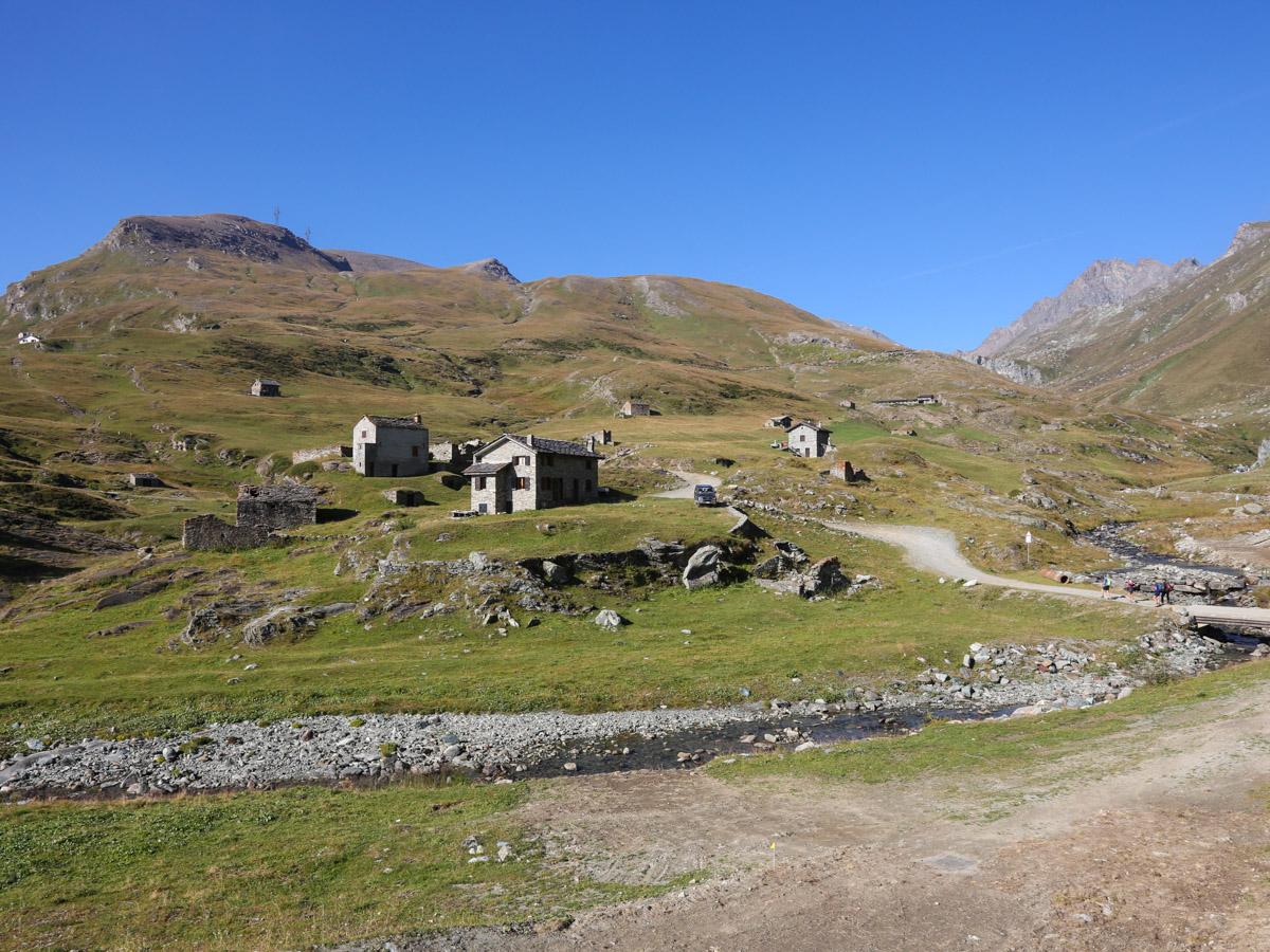
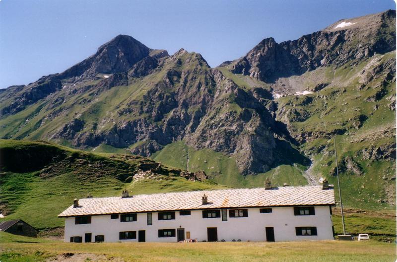
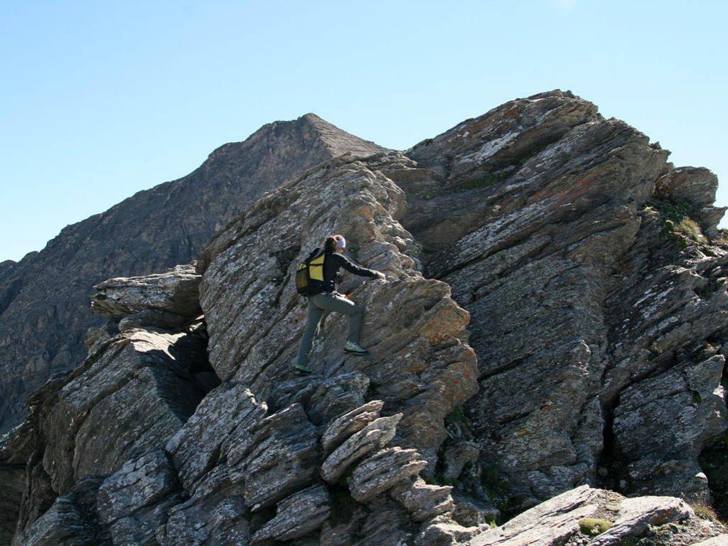
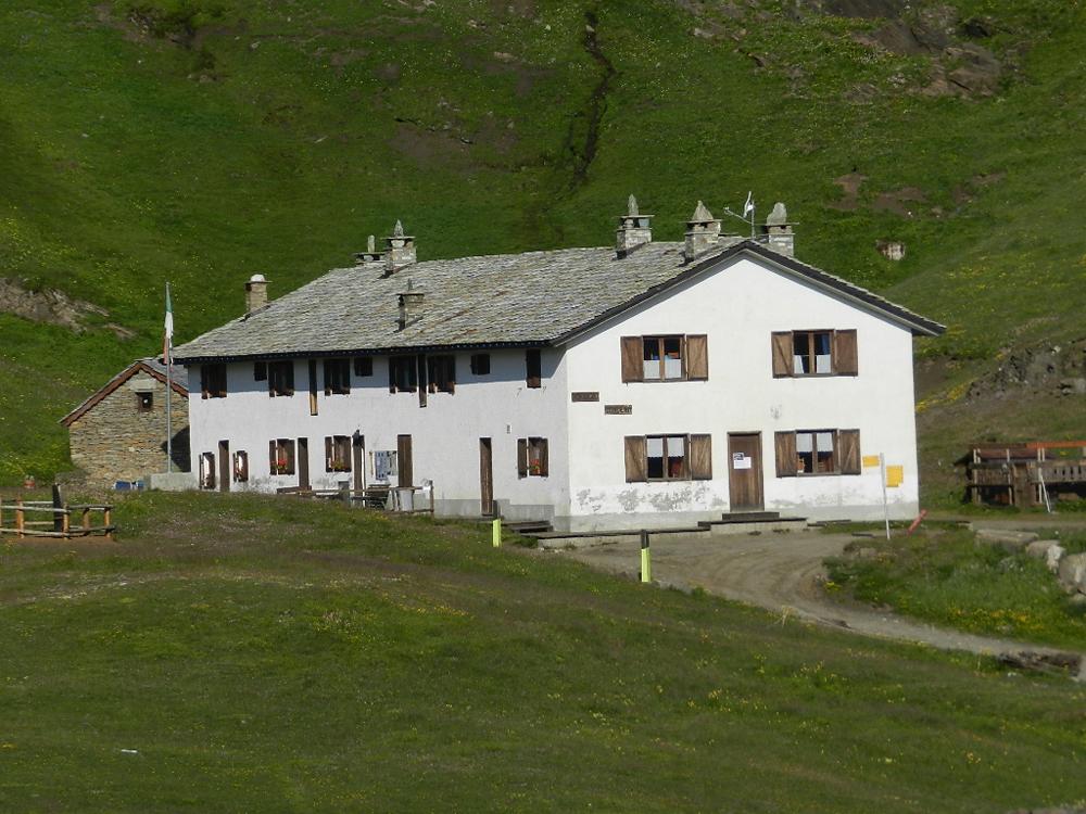
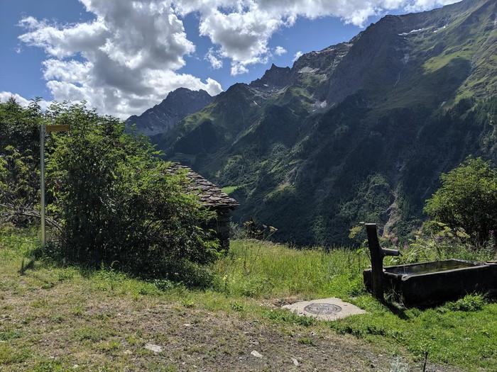
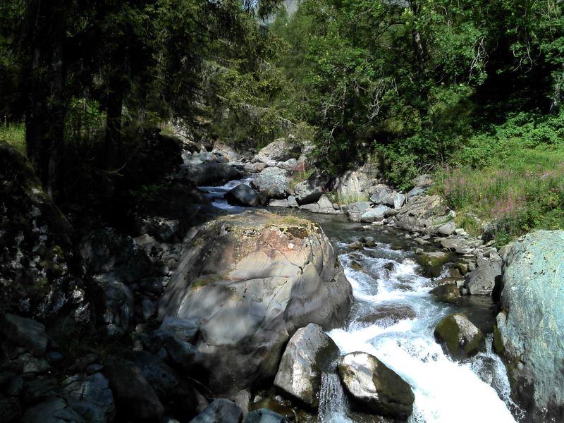
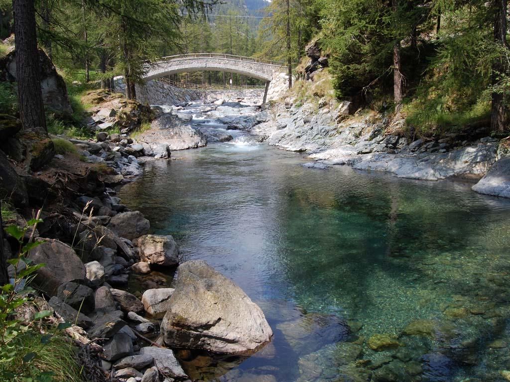
From Lake Raty, ascend the trail with some switchbacks to a saddle at about 2407 m a.s.l. Here, it is recommended to take a short out-and-back trip to the western Bec Raty, whose "summit" can be reached by walking on a slight incline to the left and offers a beautiful panoramic view. Once back at the saddle, descend the steep trail to Lake Giasset and then to the Giasset pasture, and then via the dirt road to the Dondena parking lot. From the Dondena parking lot, follow the dirt road that leads to the Rifugio Dondena, making a small descent of about 100 meters. Do not cross the Ayasse stream, but find Trail n° 9/AV2 to the left that descends towards Chardonnay/Remoran (junction at about 2095 m a.s.l.). This beautiful trail passes below the Tuerie pasture and continues along the slope, crossing several alpine pastures and abandoned pastures until reaching the Champlong pasture. Continue on Trail n° 9/AV2 which descends towards Chardonnay. The trail passes through several pastures and near various ruins of old pastures until crossing the Raty stream via a wooden bridge, leading to the Vardette area. Here, leave the trail that descends towards Chardonnay and take the trail to the left that ascends towards the higher dirt road, crossing a pasture along the slope. Once you reach the dirt road, follow it back to the parking lot.